Uphill
895m
Length
16km
Duration
6h30min
Elev gain
895m
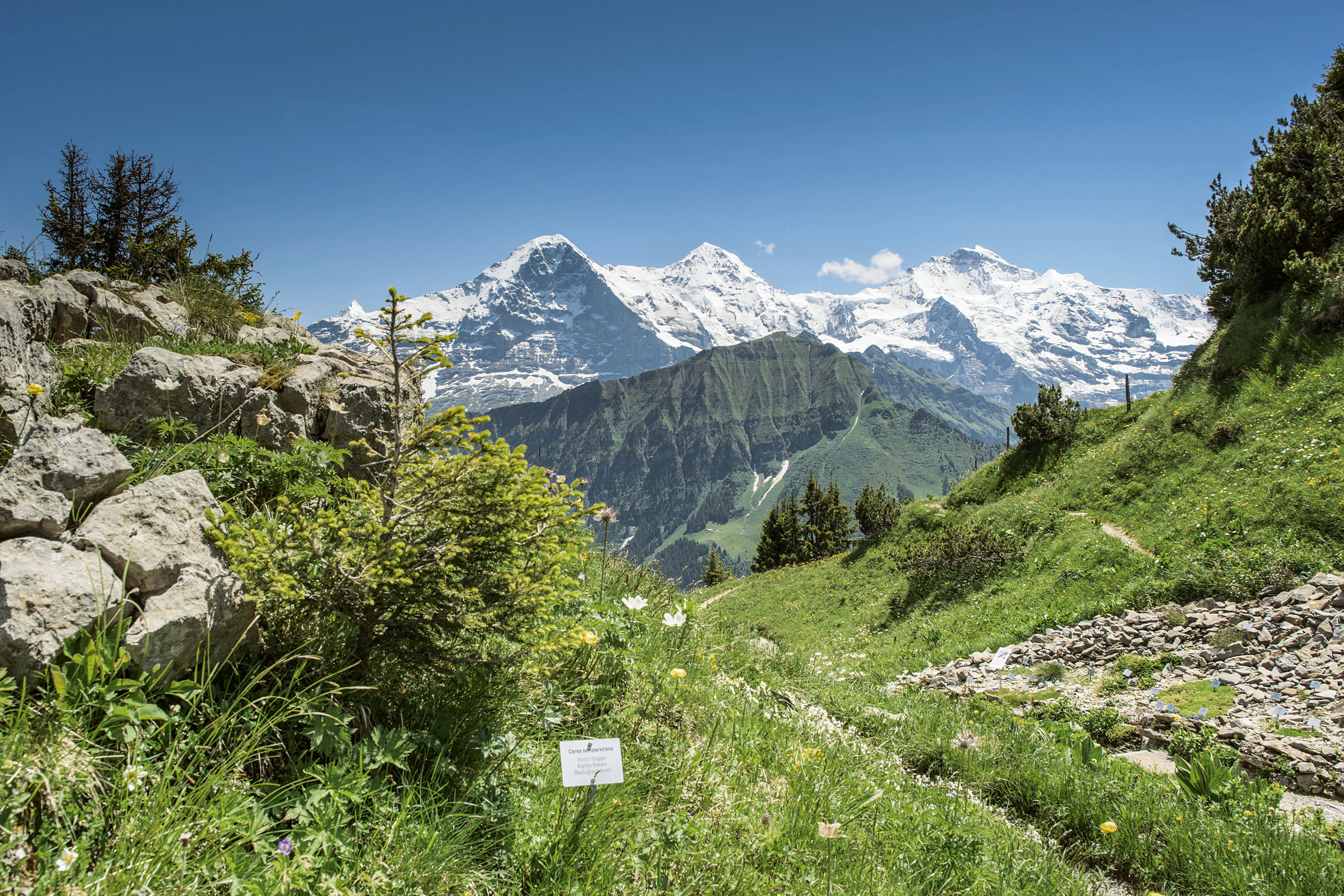
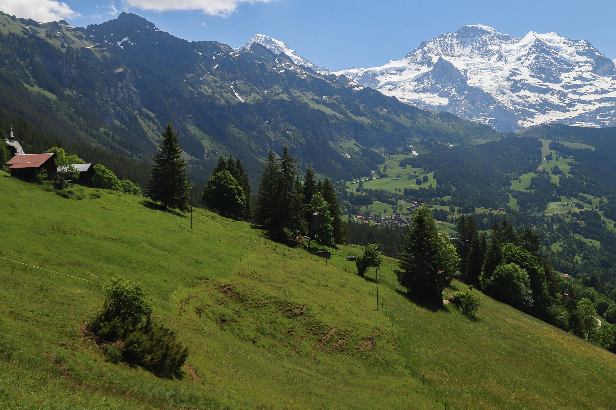
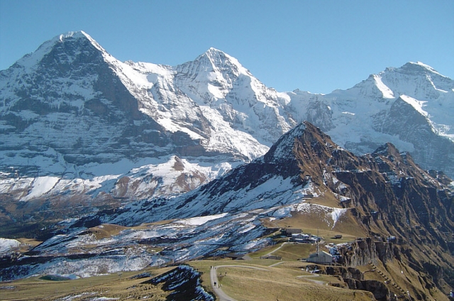
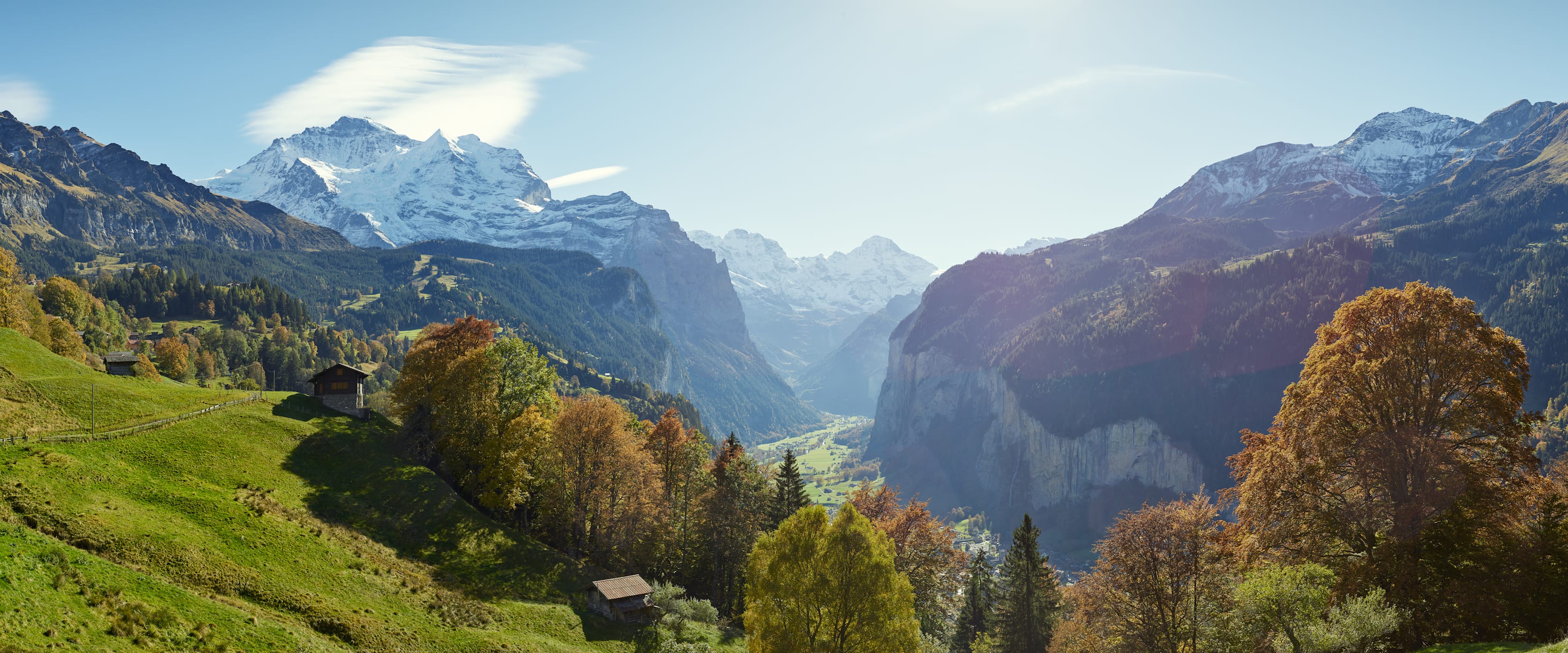
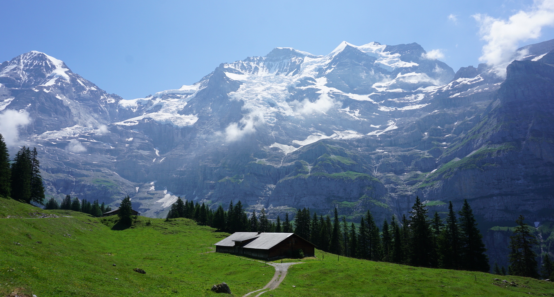
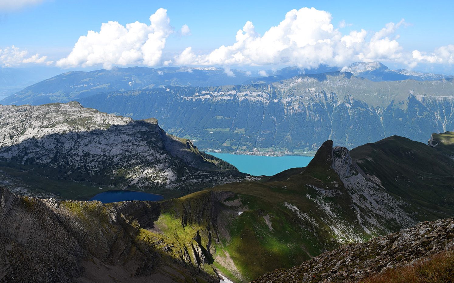
Spectacular hike in Bernese lands. This route starts at Schynige Platte and joins First via the summit of Faulhorn, located at 2,680 meters. The trail offers great views of 3 iconic peaks, Mönch, Eiger and Jungfrau, and ends at First with a passage by Lake Bachalp. One word to describe this hike: splendid!

Already more than 200,000 users!
Uphill
895m
Highest point
2665m
Downhill
709m
Lowest point
1920m
Route type
One way
Download the map on your smartphone to save battery and rest assured to always keep access to the route, even without signal.
Includes IGN France and Swisstopo.
Gare de Schynige Platte at the start (train).
Gare de First at the arrival (gondola).
I indicate whether dogs are allowed or prohibited on this trail
From June to September
0 ratings
Also enjoy:

Already more than 200,000 users!