Uphill
235m
Length
6km
Duration
2h
Elev gain
235m
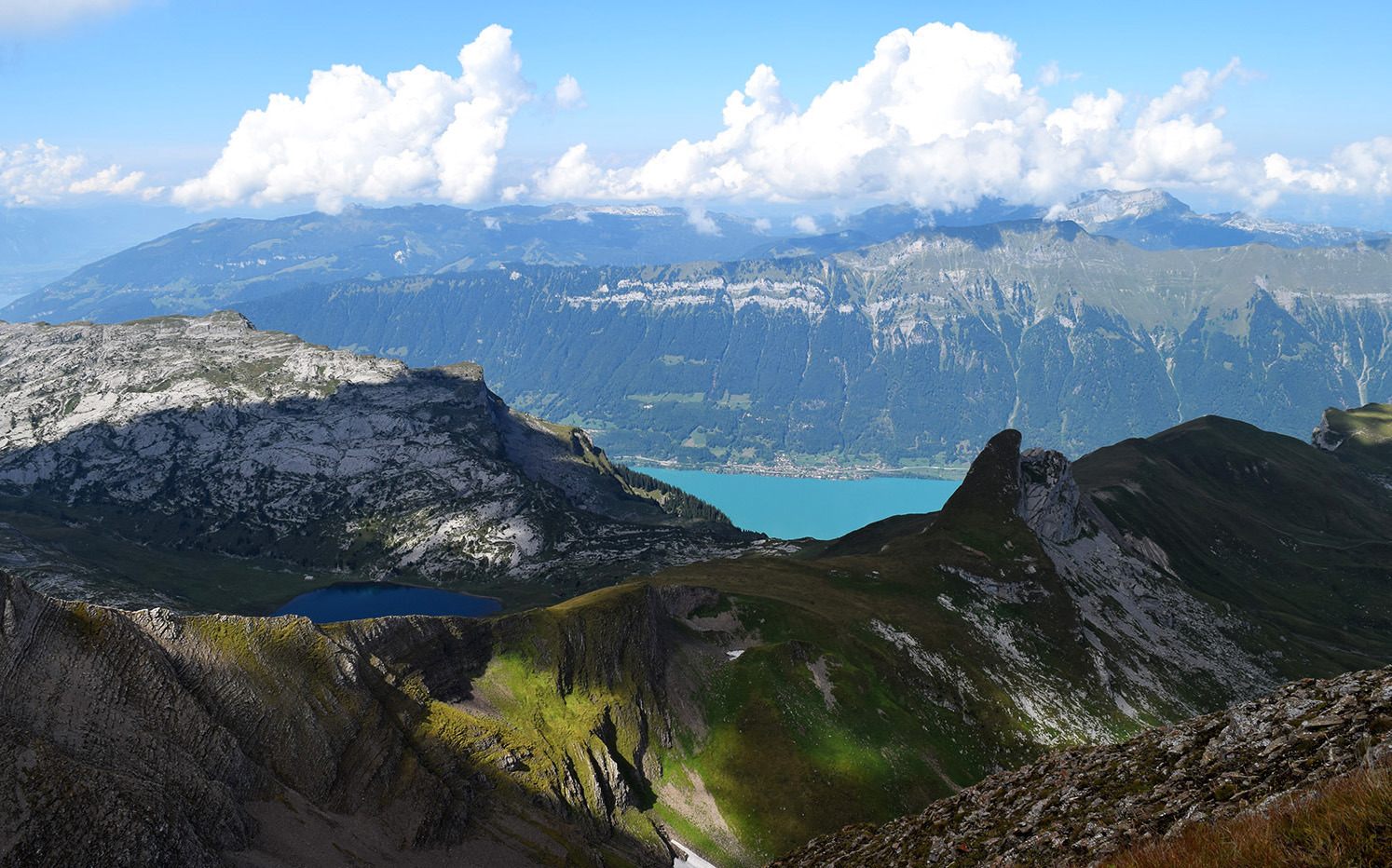
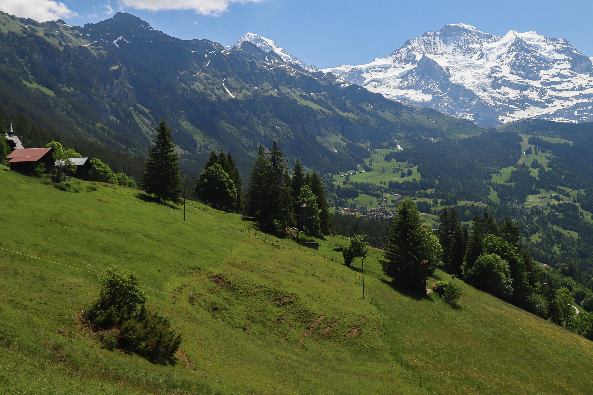
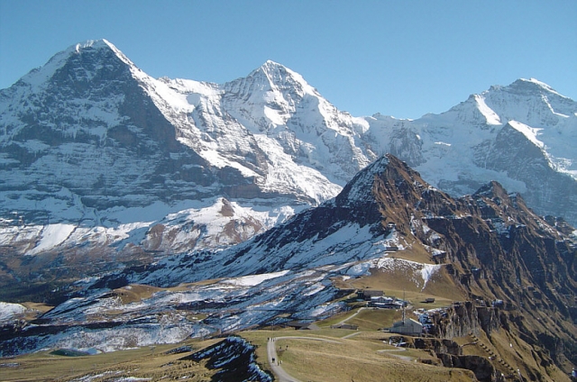
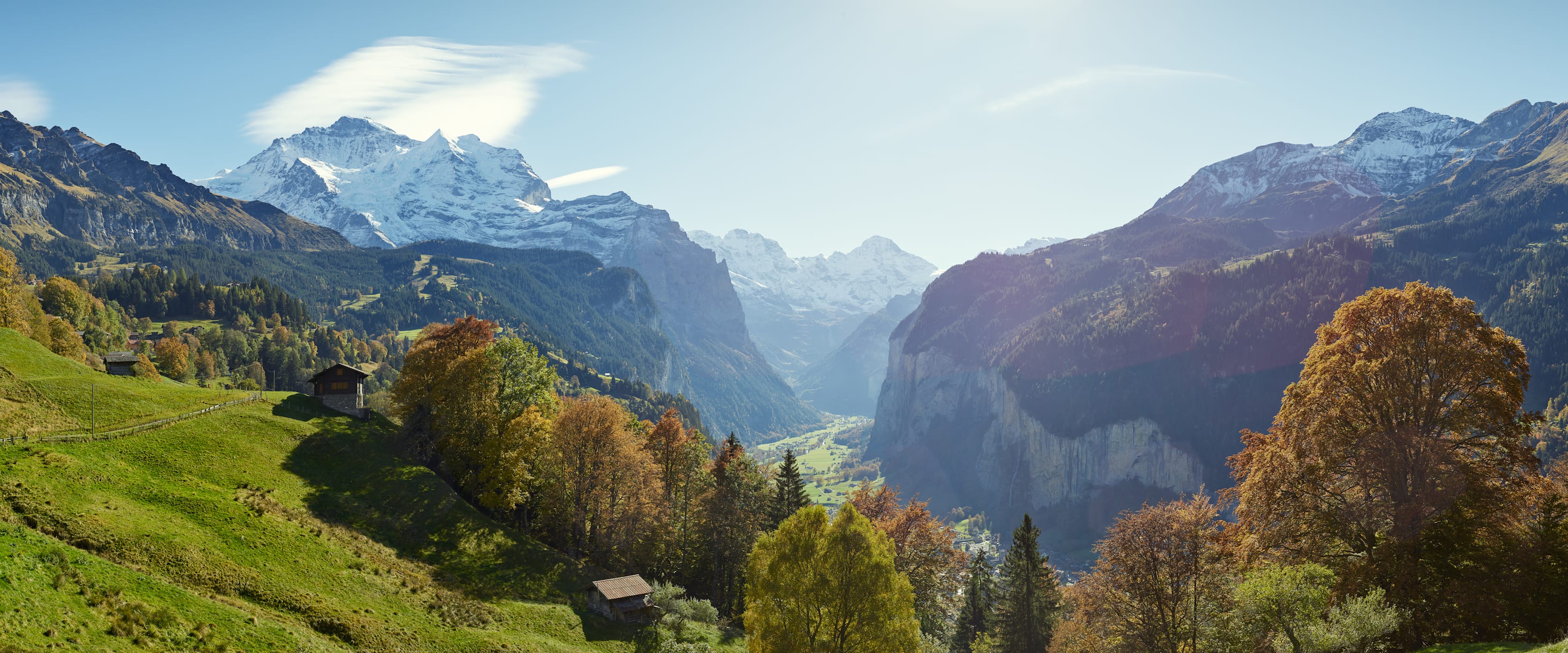
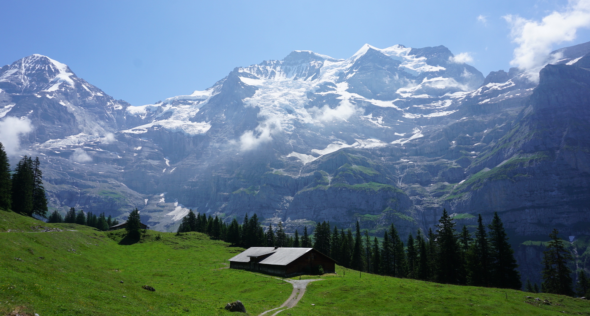
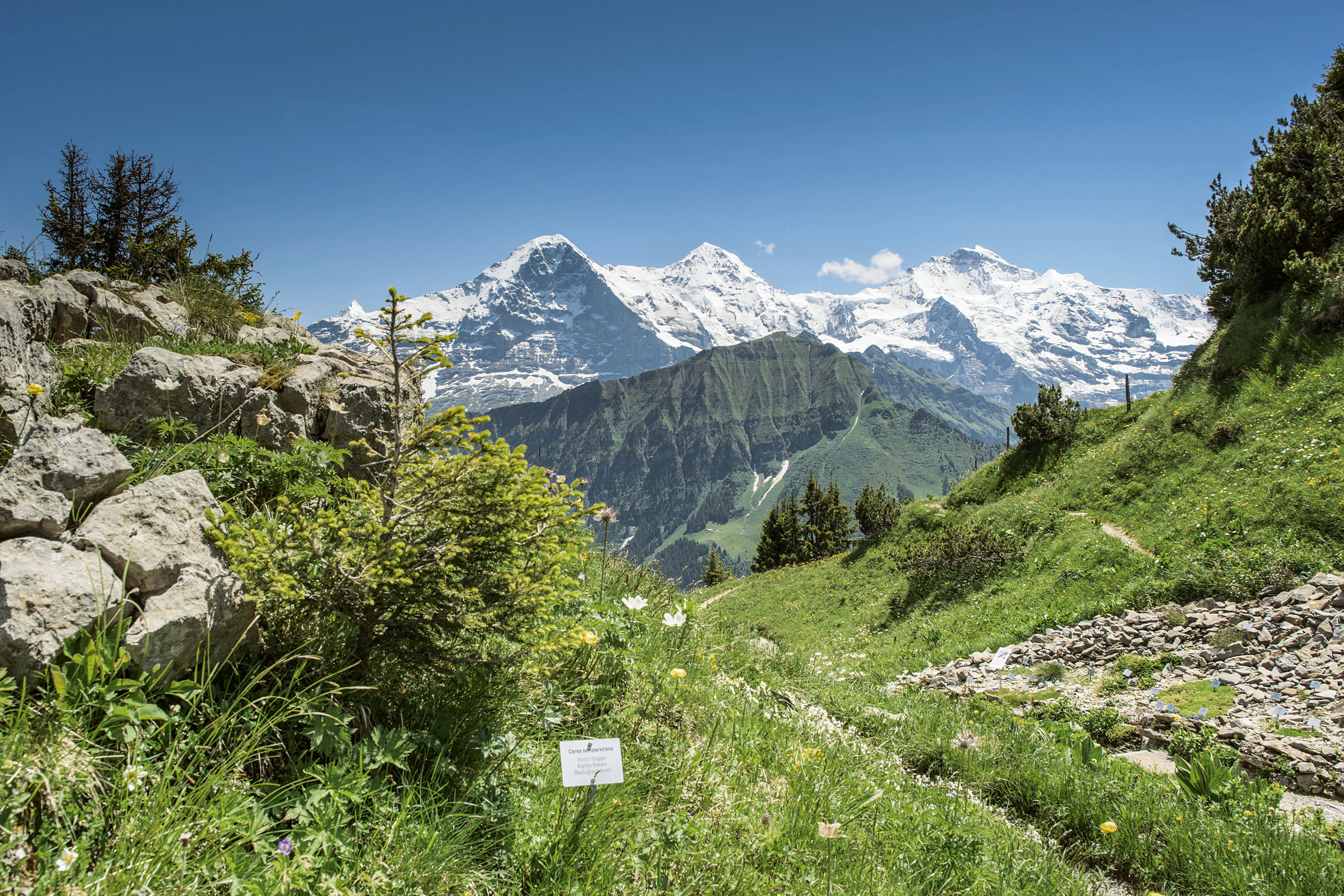
Departing from Schynige Platte station, which also has a restaurant with an exceptional view, this route makes a loop passing through two peaks: Oberberghorn and Daube. A passage is relatively delicate and vertiginous since the path narrows there on 2 meters, but apart from that, the hike is accessible. The views of the Eiger, Mönch and Jungfrau are breathtaking.

Already more than 200,000 users!
Uphill
235m
Highest point
2069m
Downhill
235m
Lowest point
1920m
Route type
Loop
Download the map on your smartphone to save battery and rest assured to always keep access to the route, even without signal.
Includes IGN France and Swisstopo.
I indicate whether dogs are allowed or prohibited on this trail
From May to September
1 rating
Also enjoy:

Already more than 200,000 users!