Uphill
904m
Length
10km
Duration
6h
Elev gain
904m
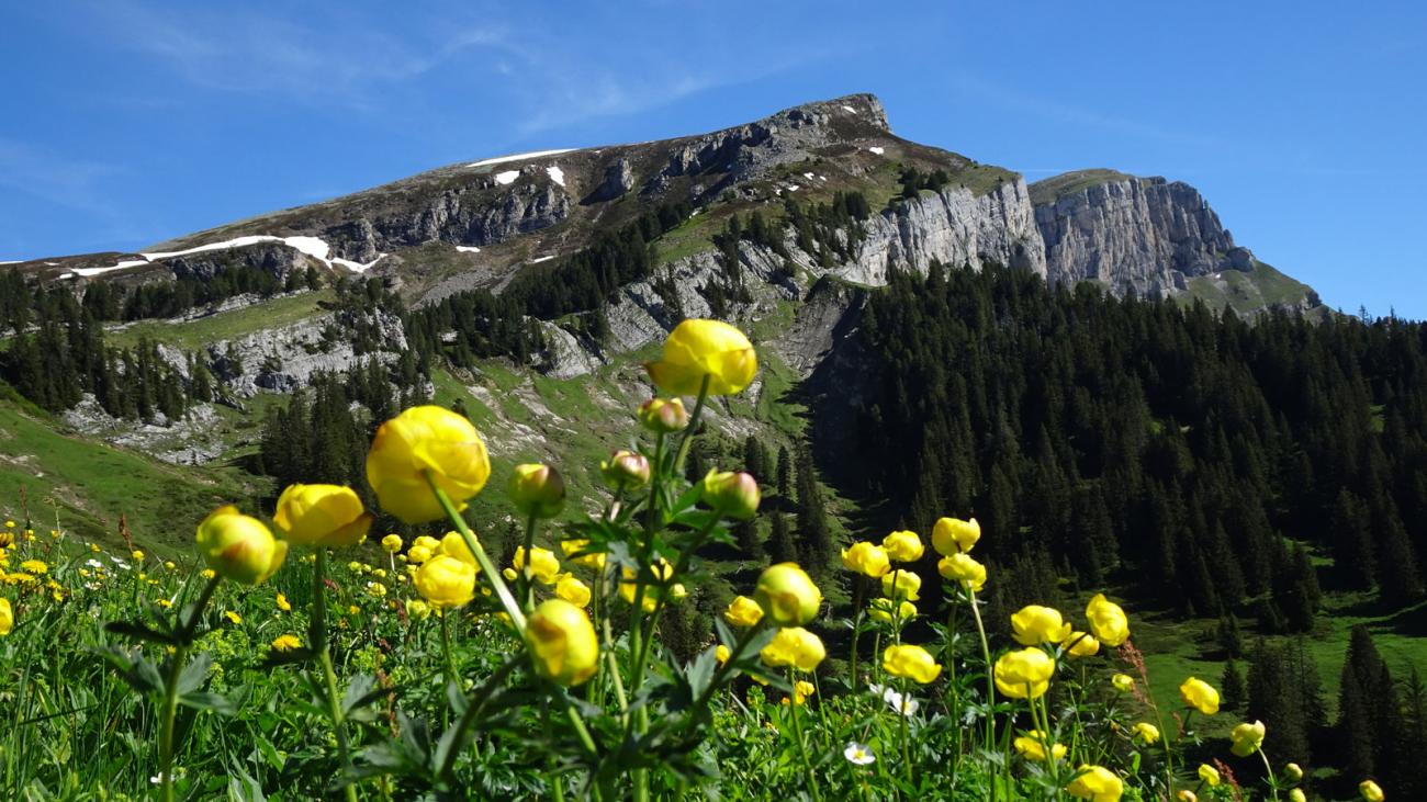
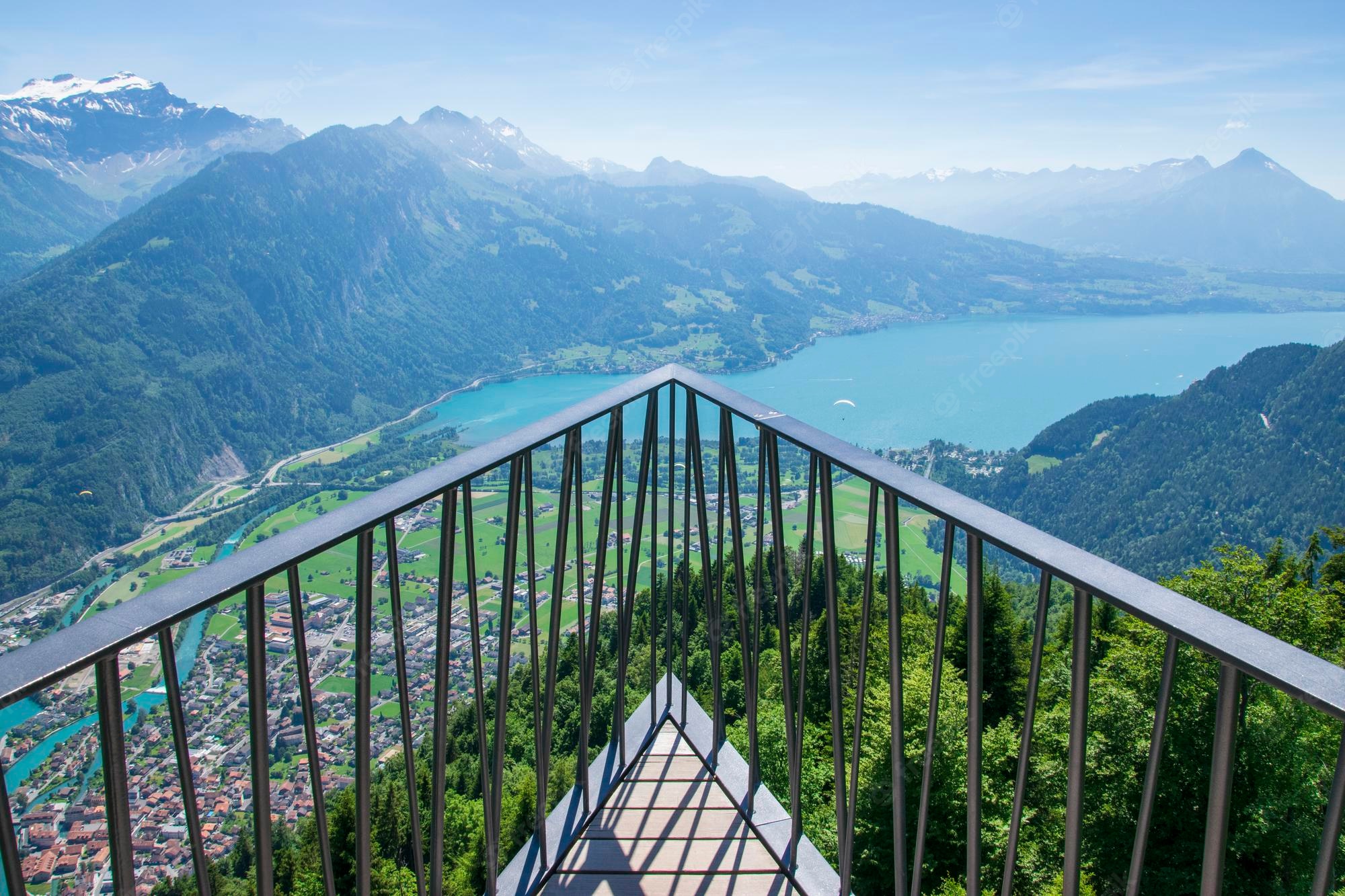
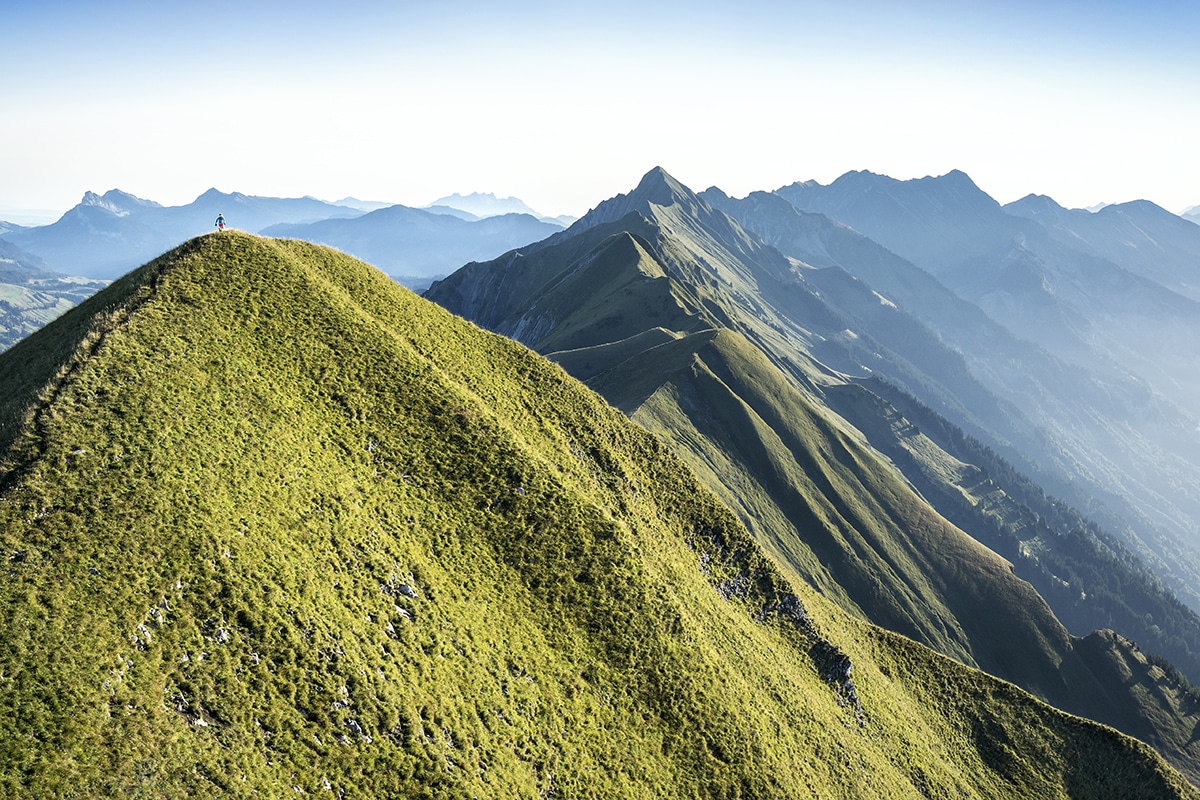
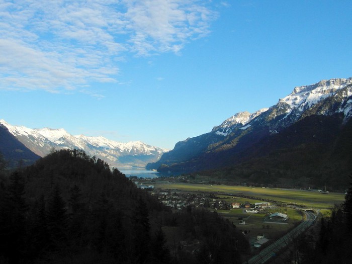
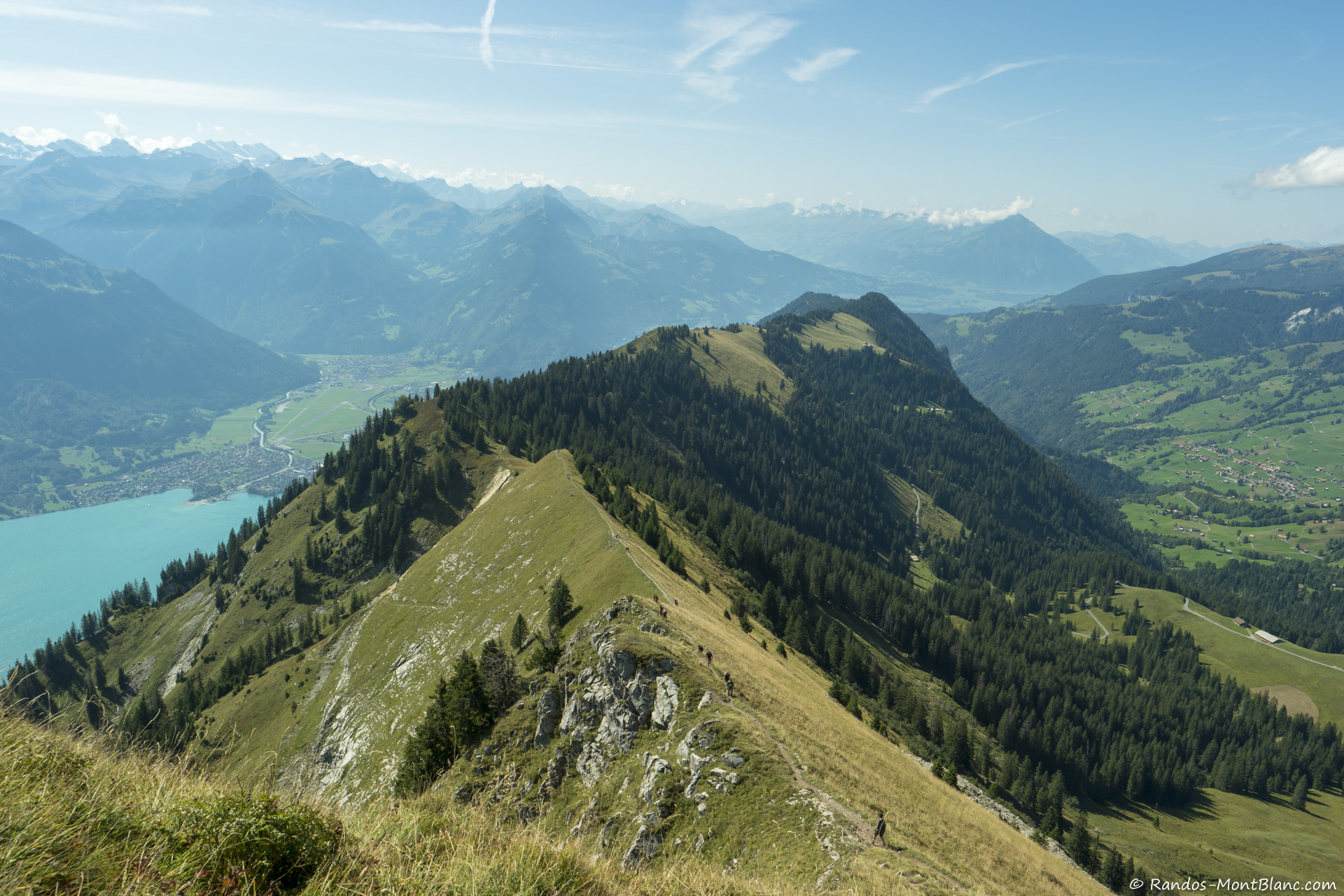
Departing from Lombachalp, this hike takes on the Augstmatthorn, a summit located at an altitude of 2,137 metres. The route crosses the Brienzergrat and the Oberland until reaching the summit, from where the view is splendid.

Already more than 200,000 users!
Uphill
904m
Highest point
2127m
Downhill
904m
Lowest point
1551m
Route type
Loop
Download the map on your smartphone to save battery and rest assured to always keep access to the route, even without signal.
Includes IGN France and Swisstopo.
I indicate whether dogs are allowed or prohibited on this trail
From May to September
0 ratings
Also enjoy:

Already more than 200,000 users!