Uphill
433m
Length
9km
Duration
3h30min
Elev gain
433m
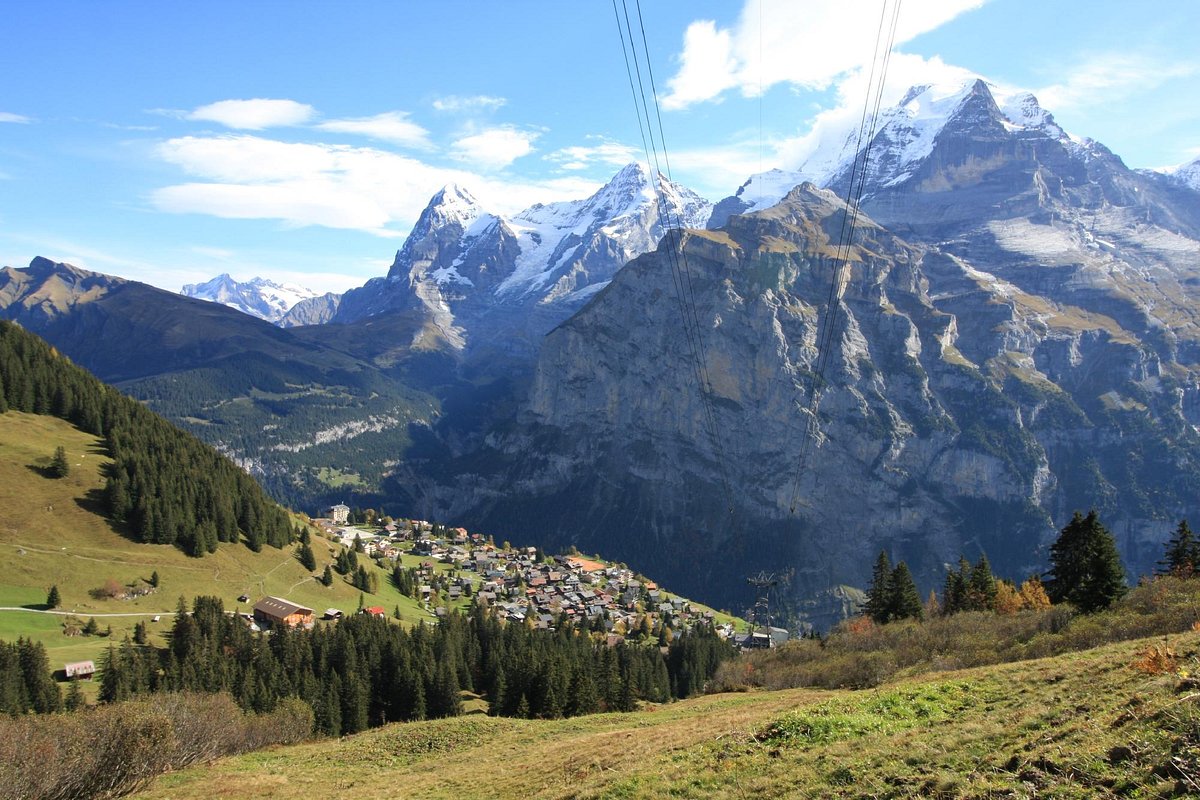
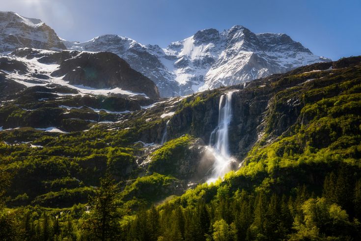
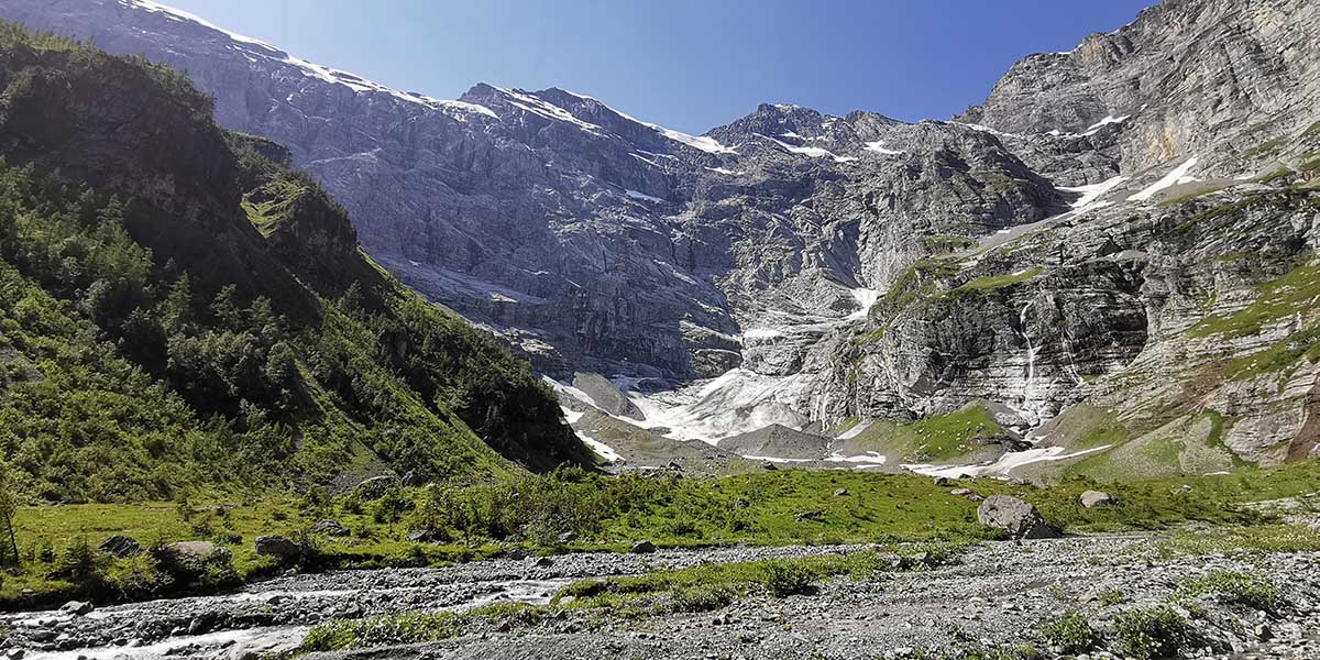
Departing from Gimmelwald, this hike follows the course of a river and climbs to the Chilchbalm, the highest point of the route. High rock walls rise up in front of us, waterfalls and a glacier also feed this decor, we take full eyes!

Already more than 200,000 users!
Uphill
433m
Highest point
1577m
Downhill
433m
Lowest point
1263m
Route type
There and back
Download the map on your smartphone to save battery and rest assured to always keep access to the route, even without signal.
Includes IGN France and Swisstopo.
No real parking at the start of the hike.
Schilthorn station nearby (cable car).
I indicate whether dogs are allowed or prohibited on this trail
Can be difficult in Winter
1 rating
Also enjoy:

Already more than 200,000 users!