Uphill
1494m
Length
18km
Duration
10h
Elev gain
1494m
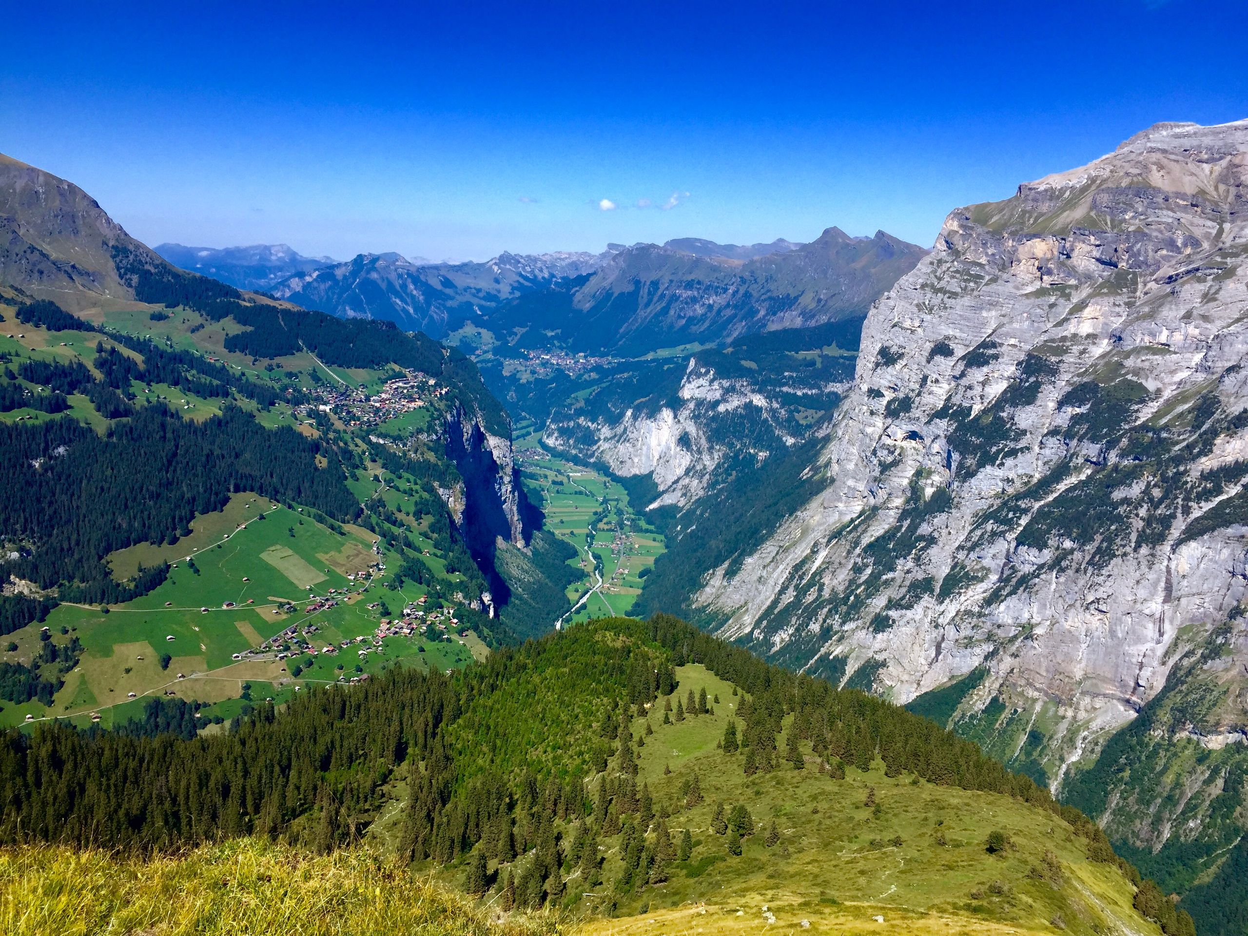
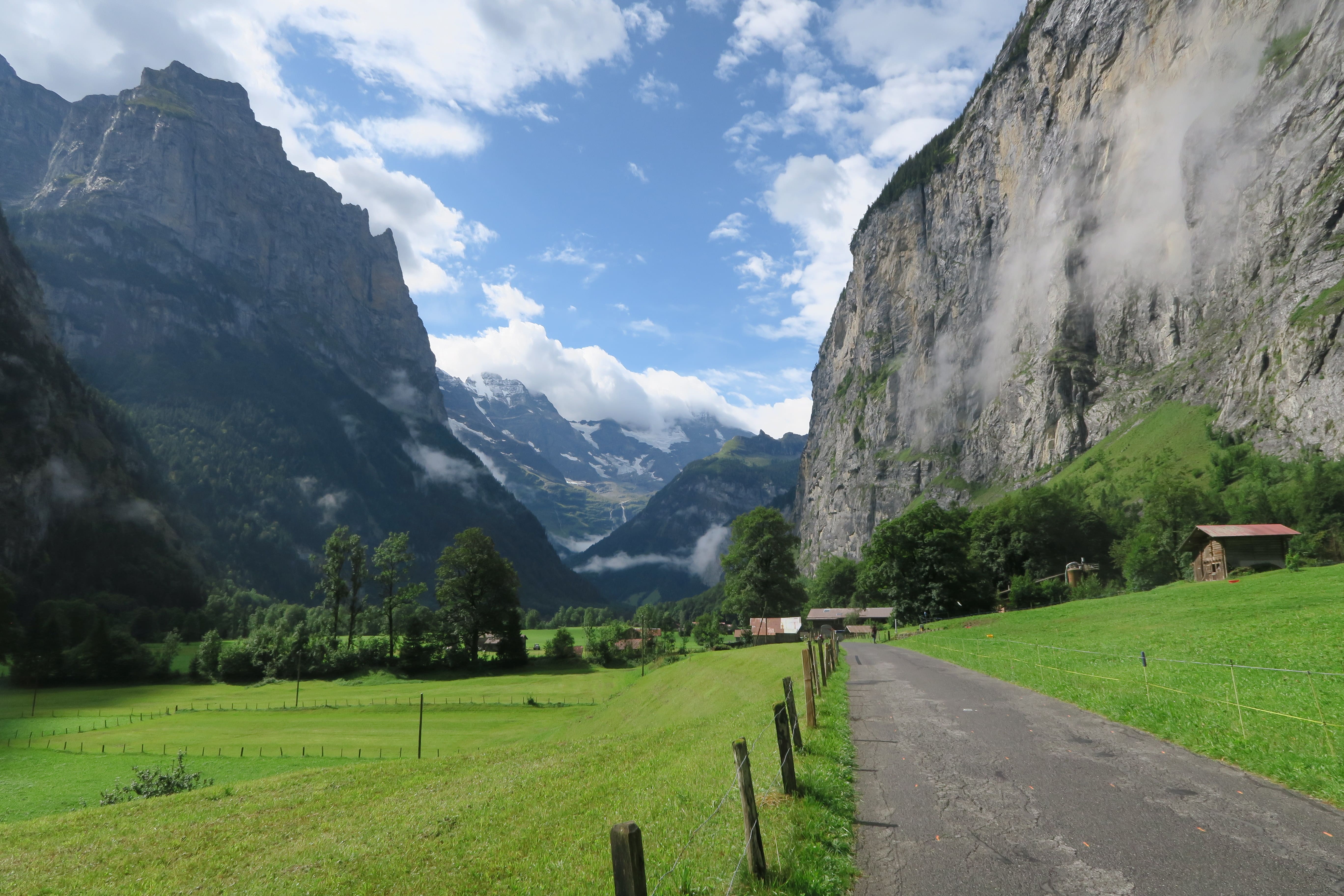
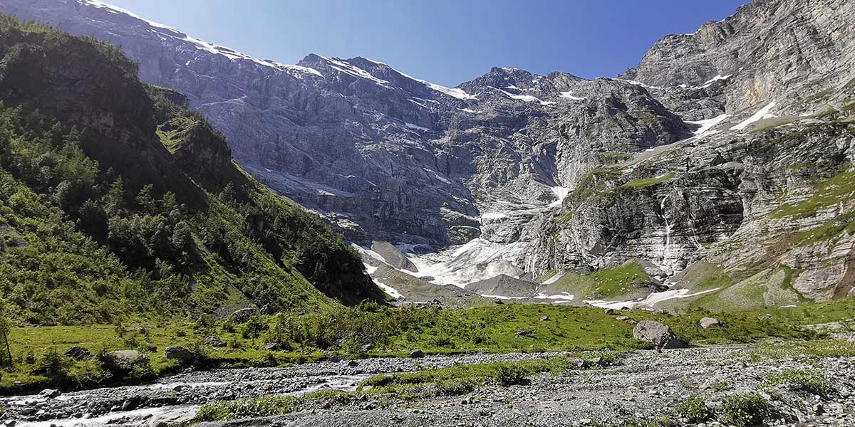
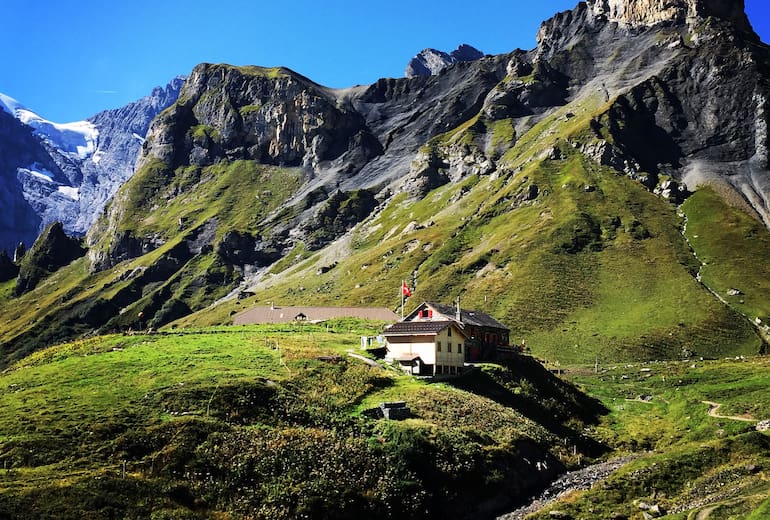
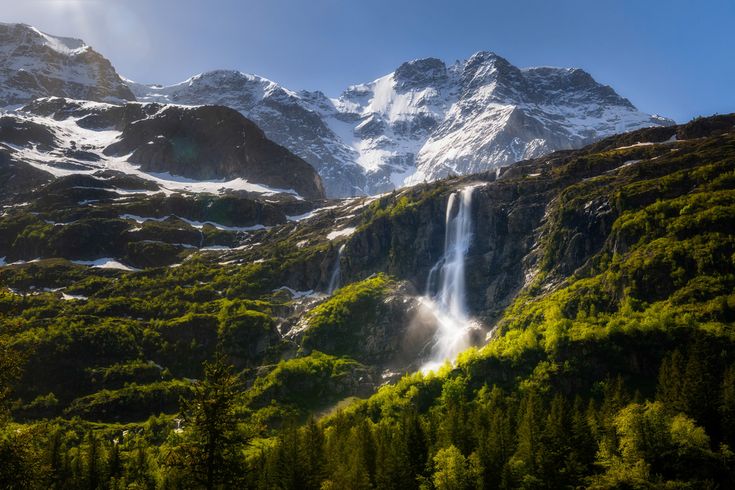
Leaving from Stechelberg, this hike sets off to discover three pretty waterfalls: Holdrifäll, Schmadribachfall and Talbachfall. This relatively physical course takes place in a majestic setting and offers a magical moment out of time.

Already more than 200,000 users!
Uphill
1494m
Highest point
2159m
Downhill
1494m
Lowest point
911m
Route type
Loop
Download the map on your smartphone to save battery and rest assured to always keep access to the route, even without signal.
Includes IGN France and Swisstopo.
I indicate whether dogs are allowed or prohibited on this trail
From May to September
0 ratings
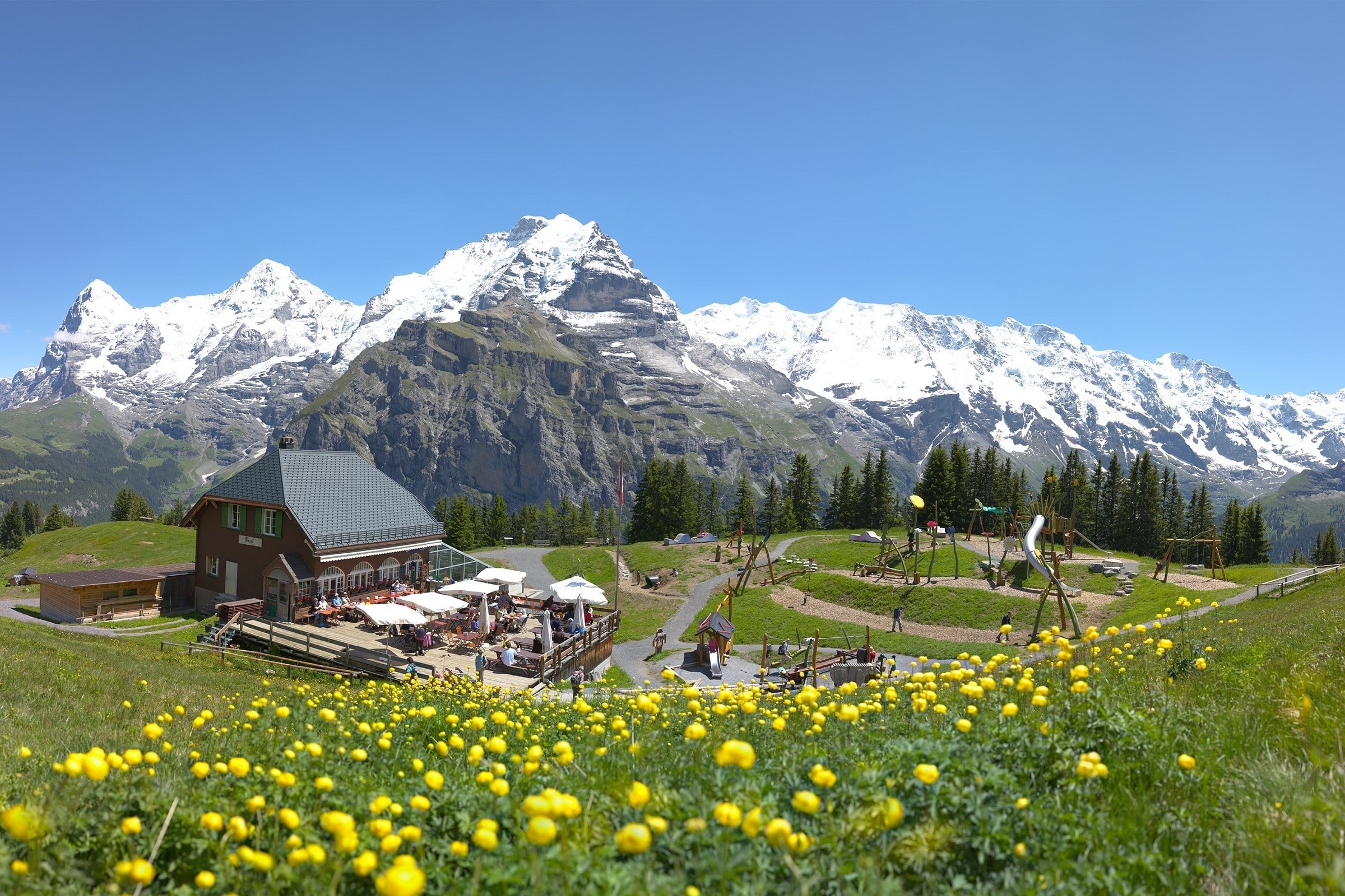
Also enjoy:

Already more than 200,000 users!