Uphill
13m
Length
5km
Duration
1h30min
Elev gain
13m
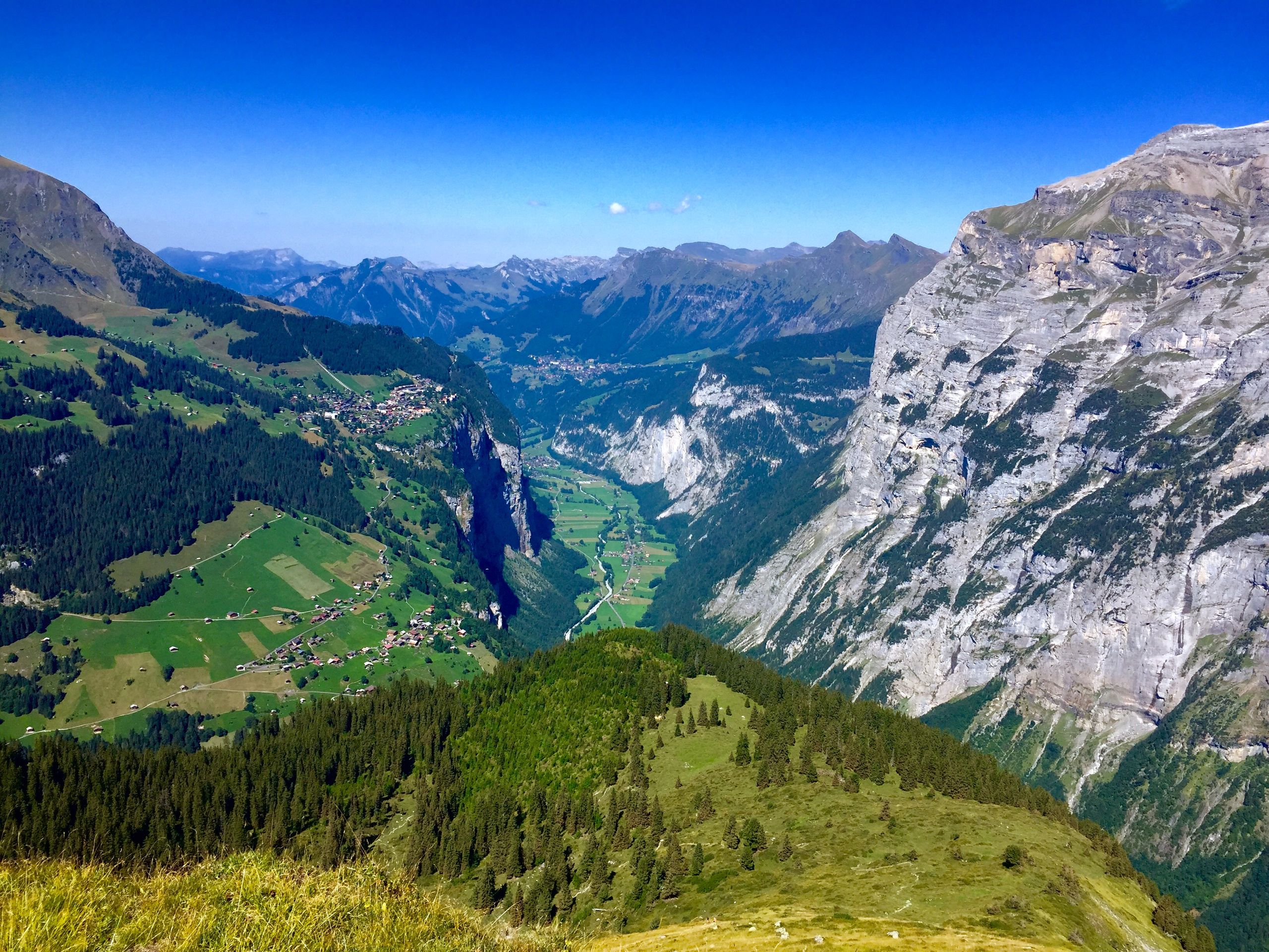
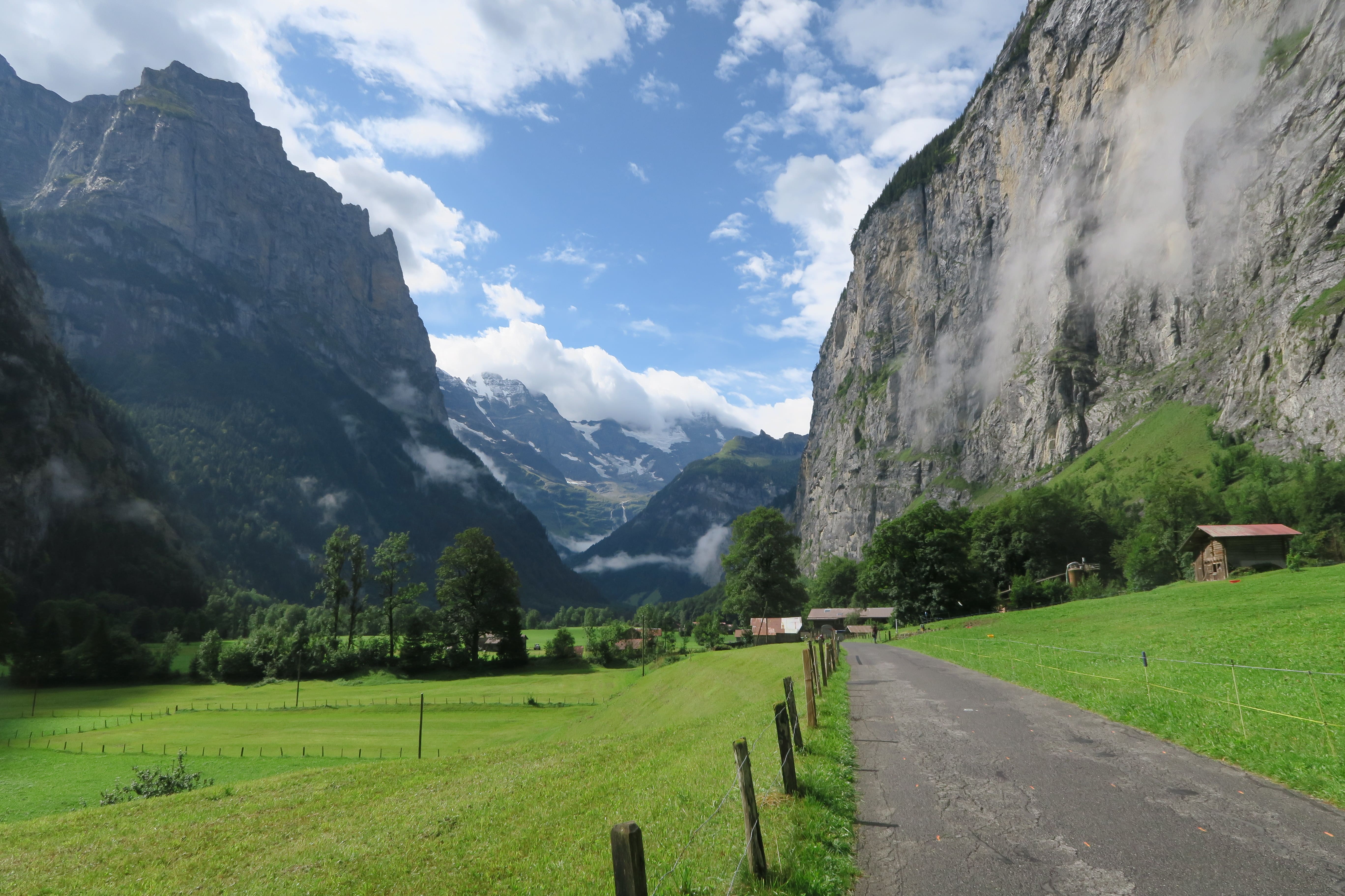
Nice hike between the towns of Stechelberg and Lauterbrunnen. The route runs along a river and offers superb views of the Lauterbrunnen valley, at the foot of impressive cliffs.
It should be noted, however, that the route takes almost entirely small roads.

Already more than 200,000 users!
Uphill
13m
Highest point
859m
Downhill
65m
Lowest point
798m
Route type
One way
Download the map on your smartphone to save battery and rest assured to always keep access to the route, even without signal.
Includes IGN France and Swisstopo.
Parking at the start of the hike.
Lauterbrunnen station at the arrival.
I indicate whether dogs are allowed or prohibited on this trail
All year
1 rating
Also enjoy:

Already more than 200,000 users!