Uphill
1869m
Length
21km
Duration
12h30min
Elev gain
1869m
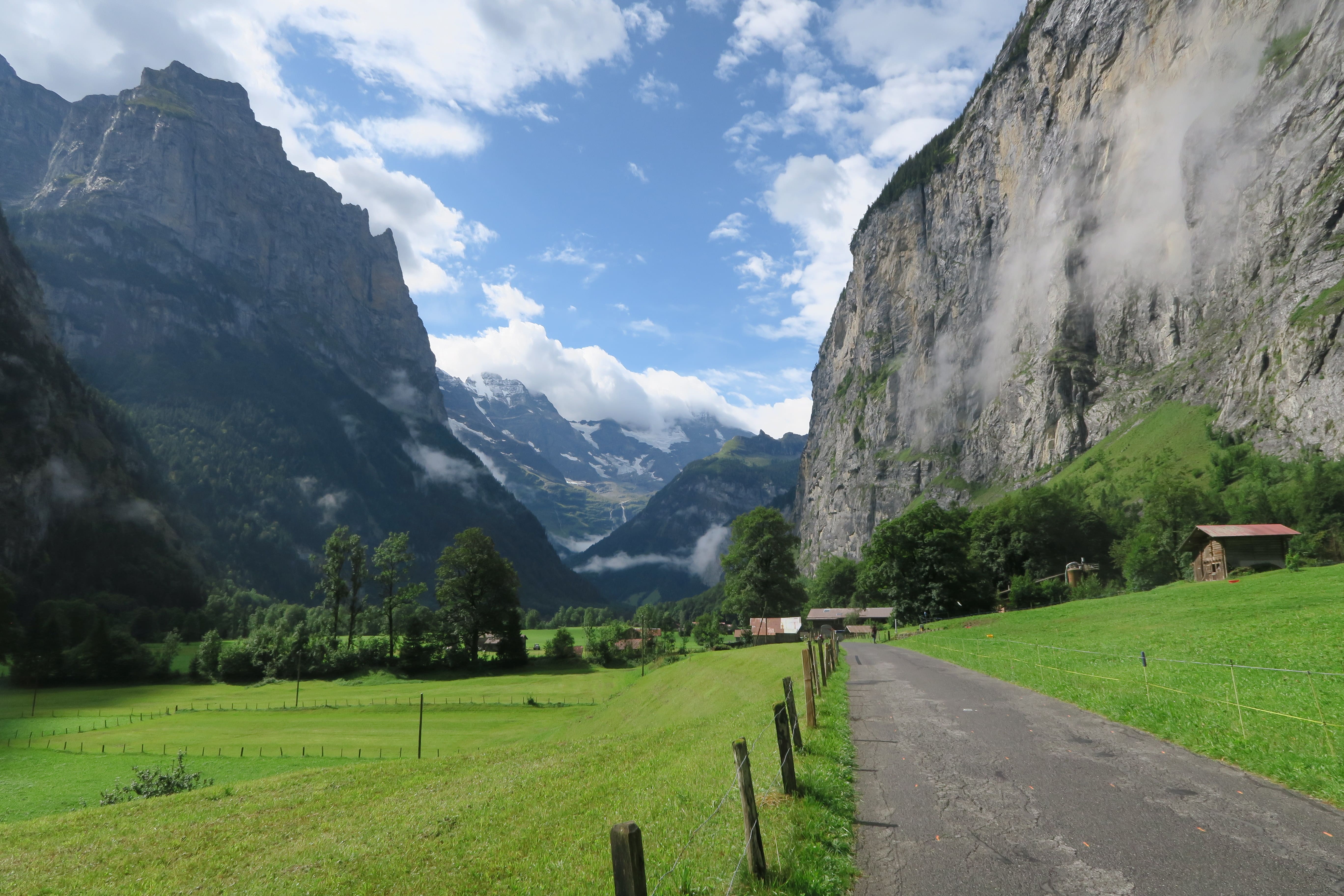
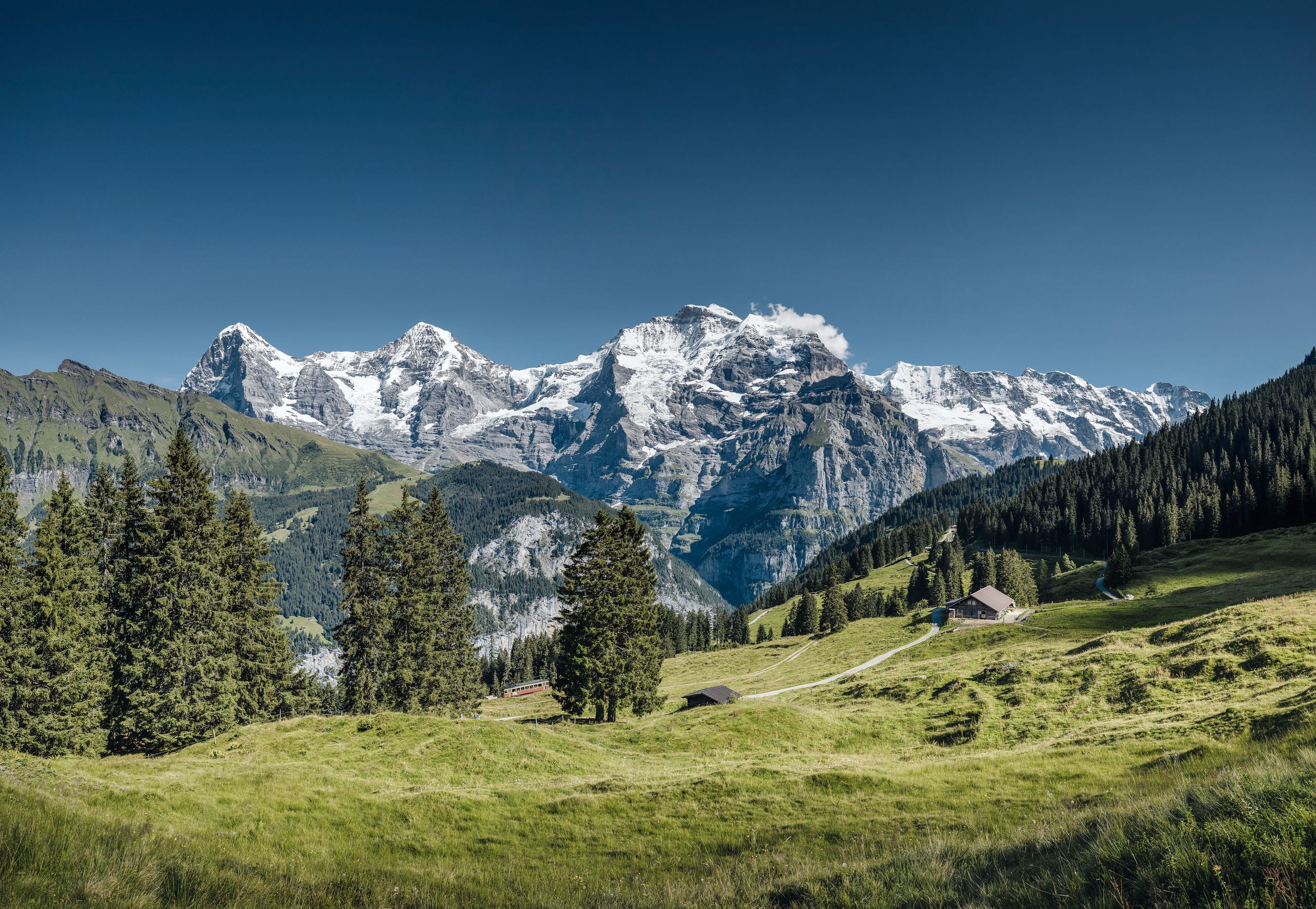
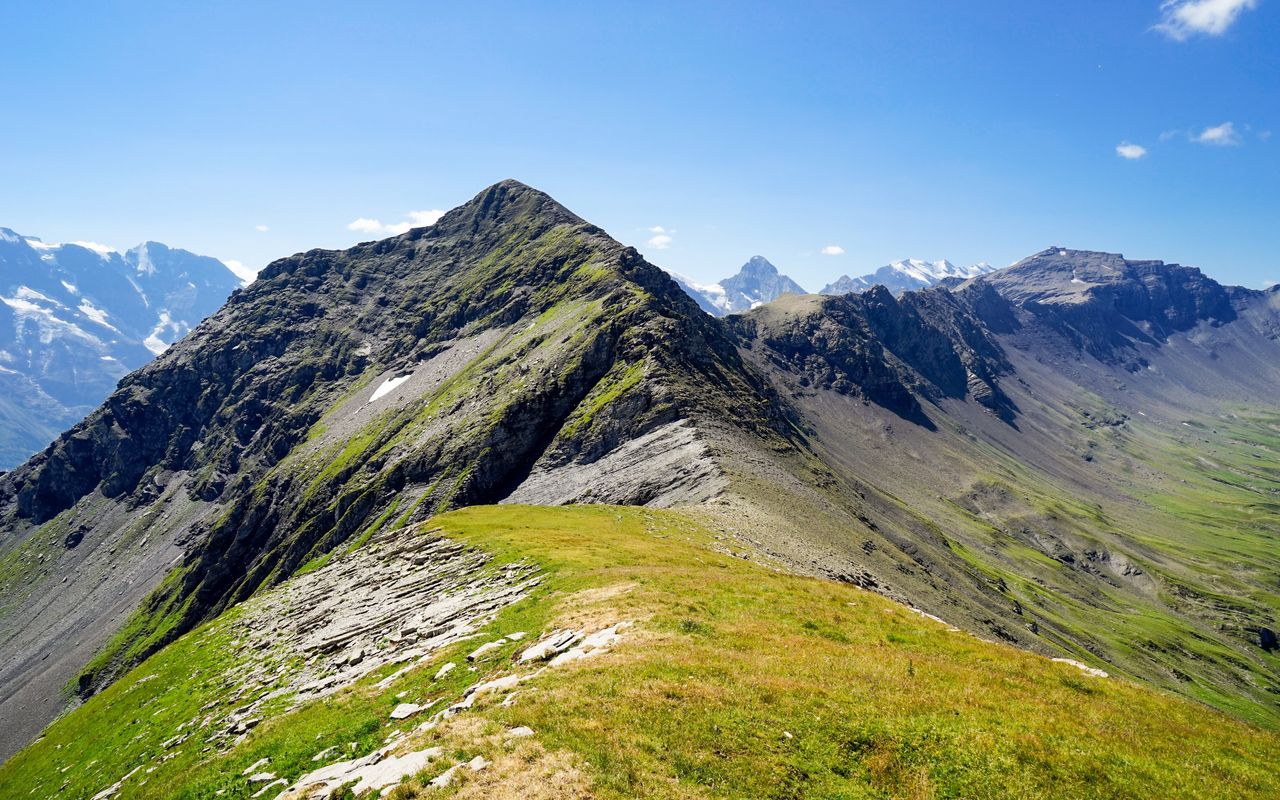
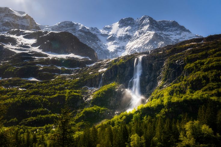
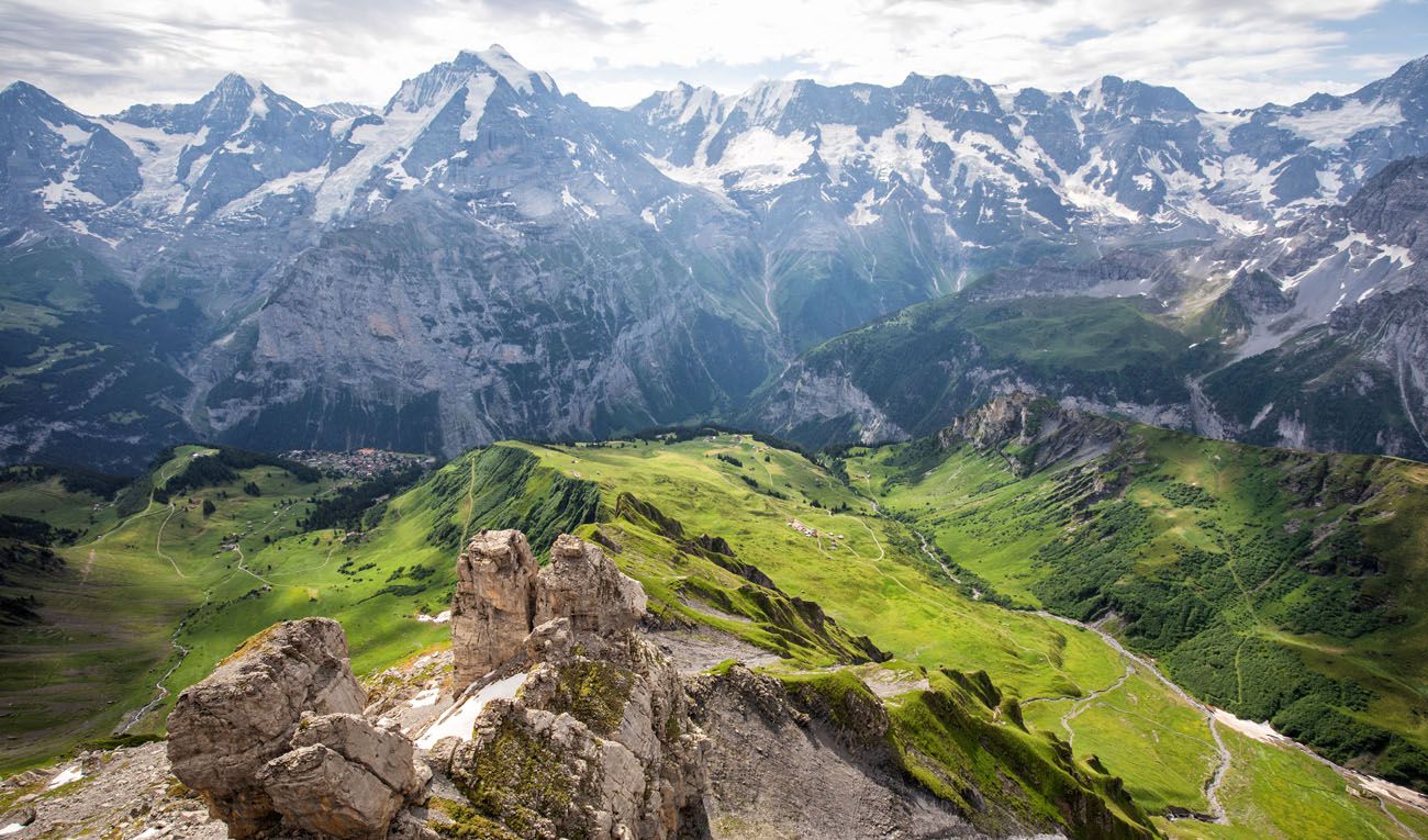
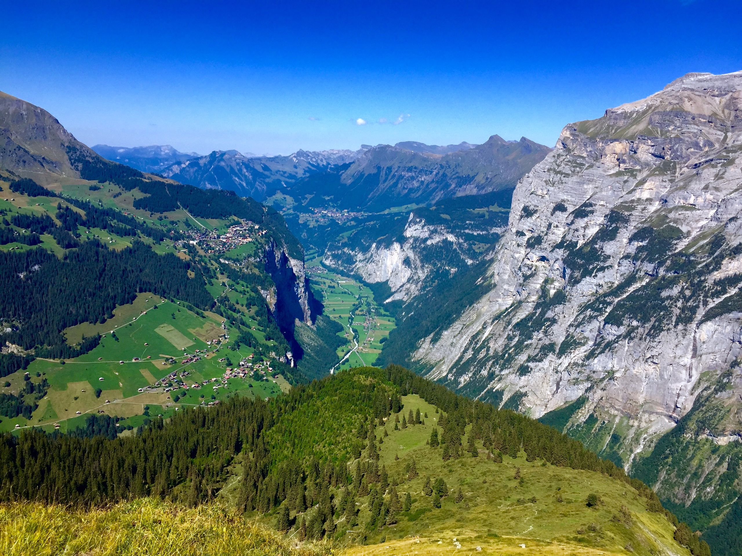
Long and fantastic hike from Stechelberg. The route makes a loop on steep and technical paths which require a good physical condition as well as a little experience in the mountains. The route passes by many waterfalls, a few peaks as well as the Obersteinberg hotel, located in an extraordinary setting.

Already more than 200,000 users!
Uphill
1869m
Highest point
2159m
Downhill
1869m
Lowest point
868m
Route type
Loop
Download the map on your smartphone to save battery and rest assured to always keep access to the route, even without signal.
Includes IGN France and Swisstopo.
I indicate whether dogs are allowed or prohibited on this trail
From May to September
0 ratings
Also enjoy:

Already more than 200,000 users!