Uphill
1211m
Length
10km
Duration
8h
Elev gain
1211m
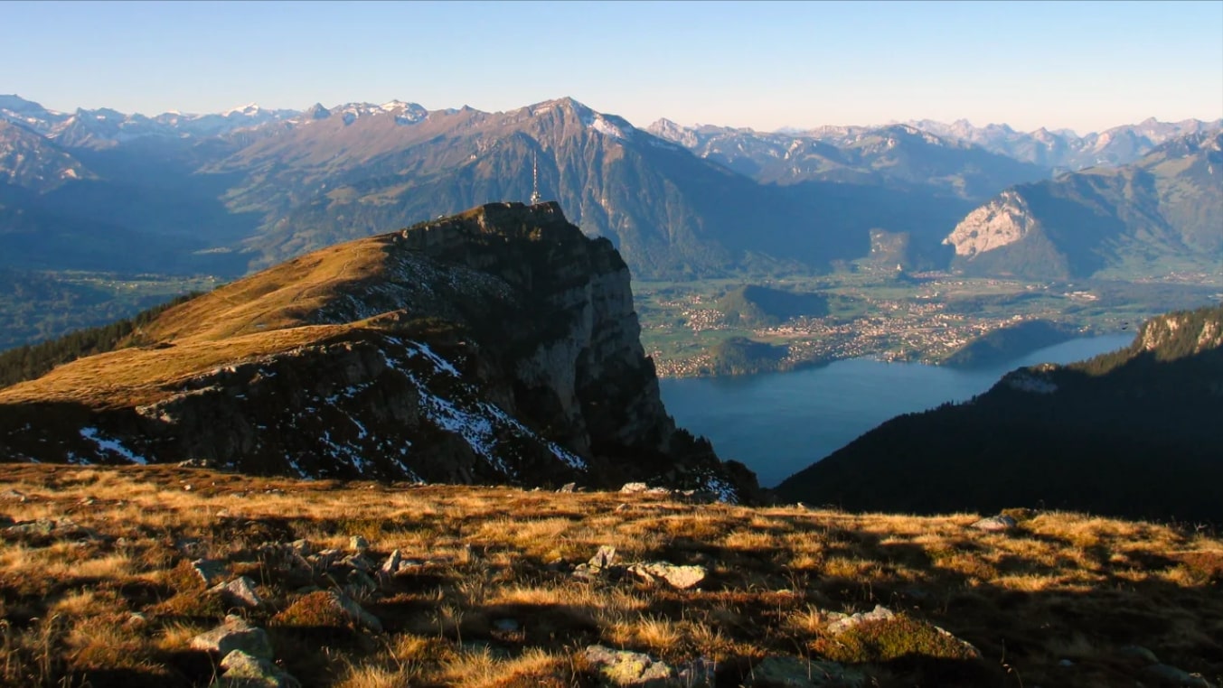
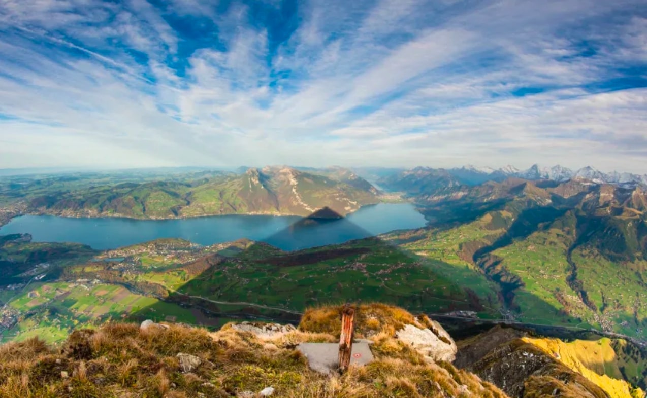
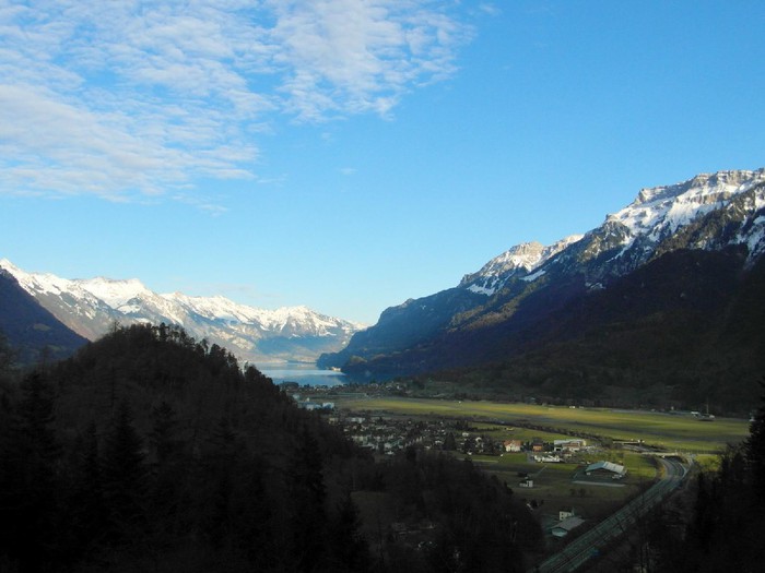
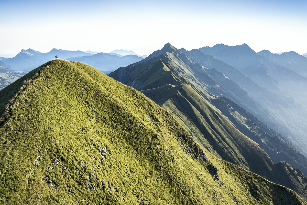
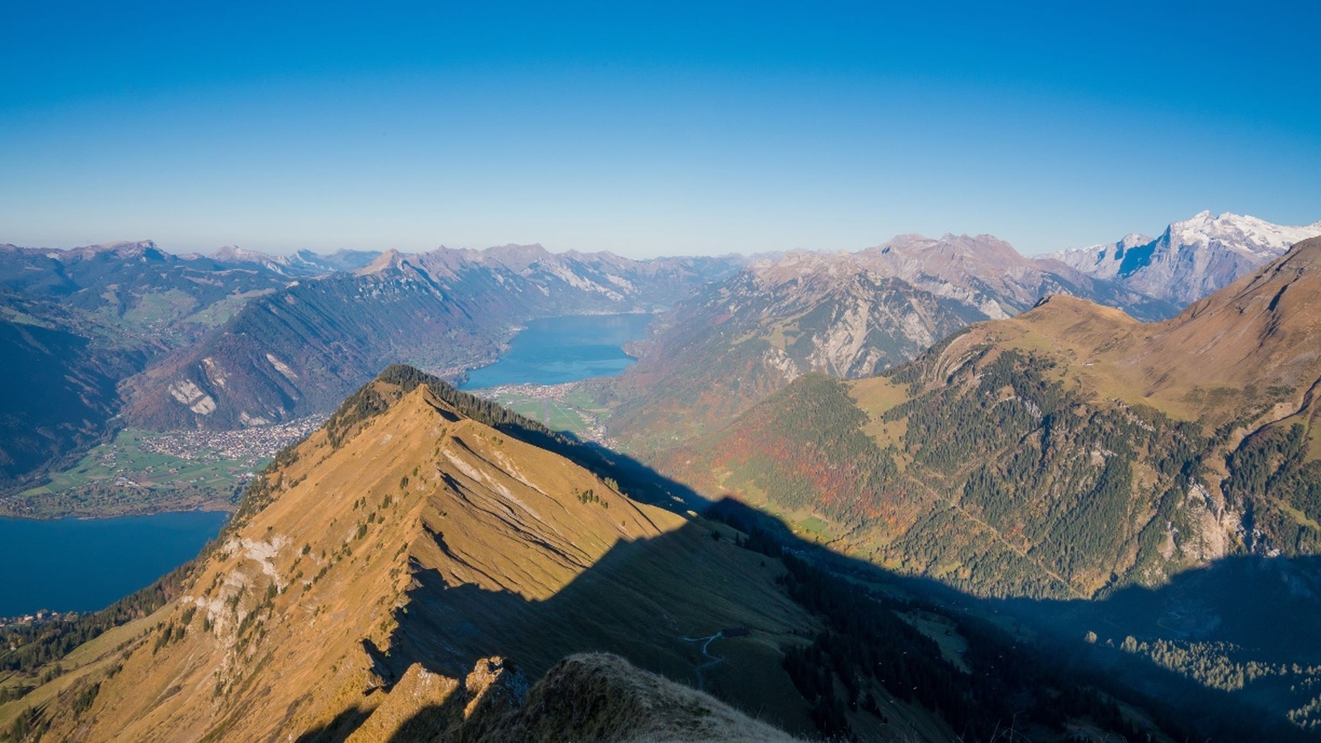
Magnificent hike to attack the Morgenberghorn, peak culminating at 2,248 meters above sea level. The route is varied: forests, pastures and even high mountains. Once at the top, the view is magnificent, especially over Lake Thun.
Please note: some parts of the trail are steep and slippery, so should be avoided in wet weather.

Already more than 200,000 users!
Uphill
1211m
Highest point
2232m
Downhill
1211m
Lowest point
1086m
Route type
Loop
Download the map on your smartphone to save battery and rest assured to always keep access to the route, even without signal.
Includes IGN France and Swisstopo.
I indicate whether dogs are allowed or prohibited on this trail
From May to September
0 ratings
Also enjoy:

Already more than 200,000 users!