Uphill
794m
Length
9km
Duration
5h30min
Elev gain
794m
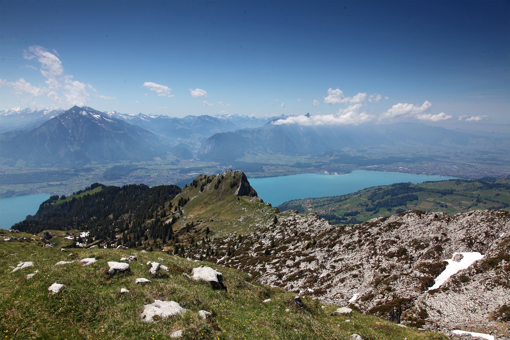
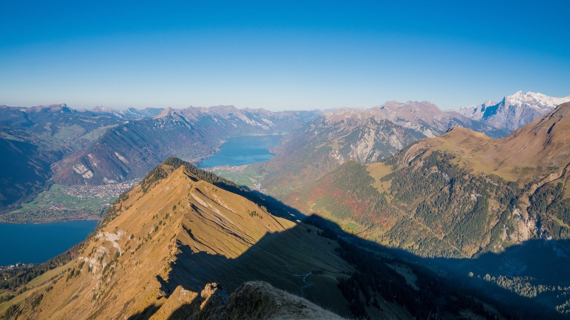
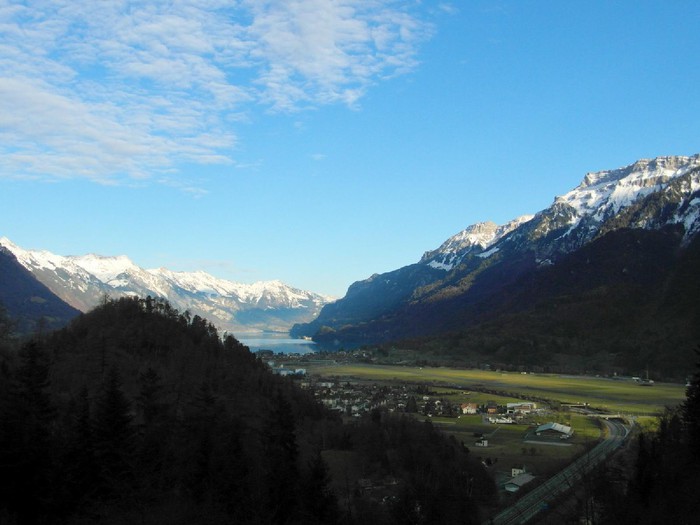
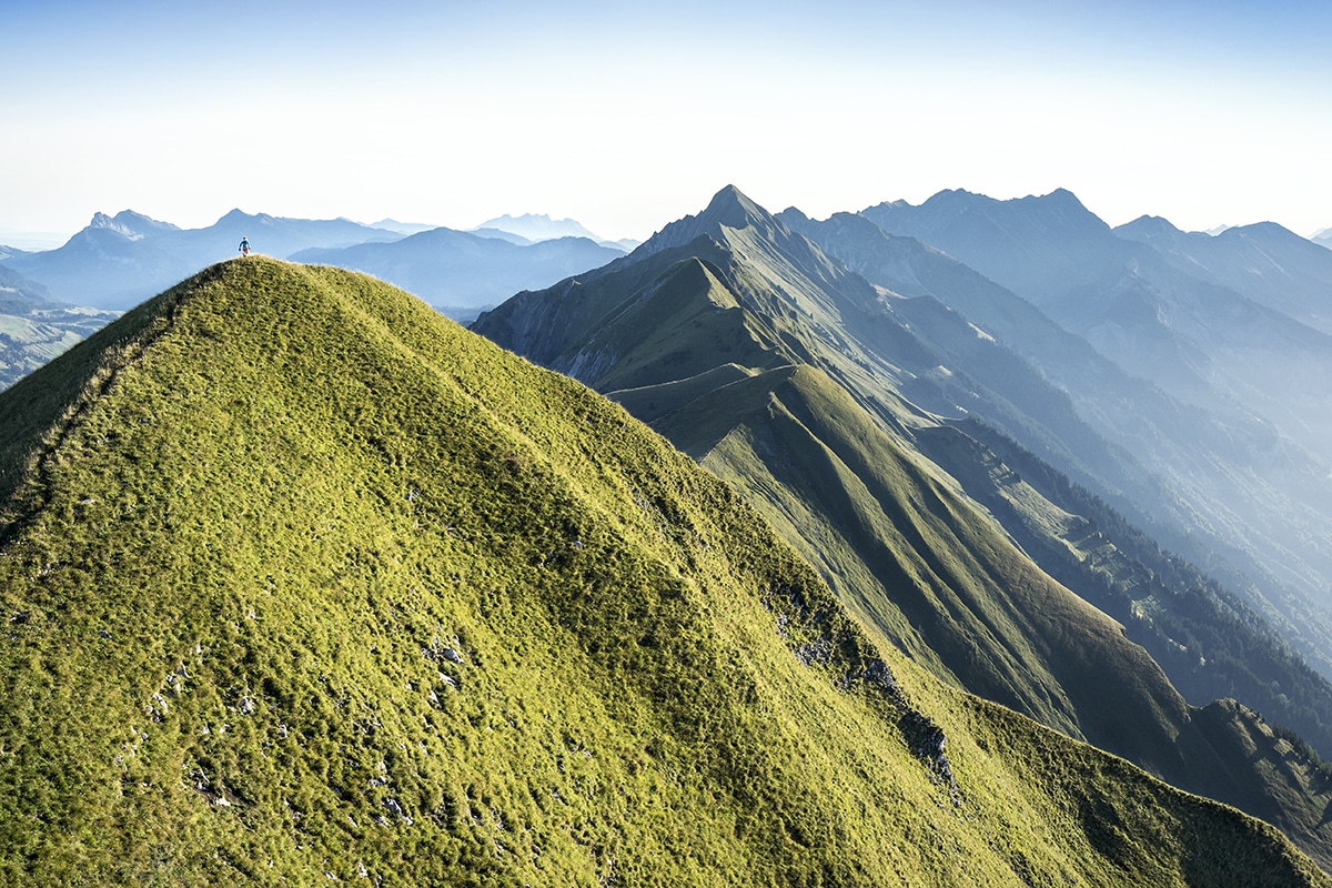
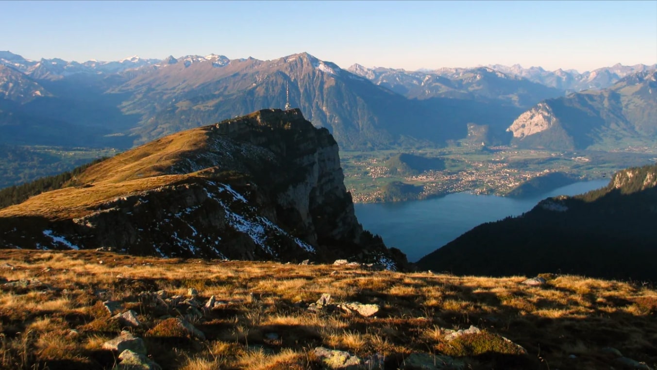
Departing from Beatenberg, near Lake Thun, this route takes on the Niederhorn, a summit culminating at 1,963 meters above sea level. Once at the top, the view of the Alps and the Emmental is splendid. It is then necessary to return to the direction of the starting point in order to complete the hike.

Already more than 200,000 users!
Uphill
794m
Highest point
1952m
Downhill
794m
Lowest point
1150m
Route type
Loop
Download the map on your smartphone to save battery and rest assured to always keep access to the route, even without signal.
Includes IGN France and Swisstopo.
I indicate whether dogs are allowed or prohibited on this trail
From May to October
1 rating
Also enjoy:

Already more than 200,000 users!