Uphill
304m
Length
8km
Duration
3h
Elev gain
304m
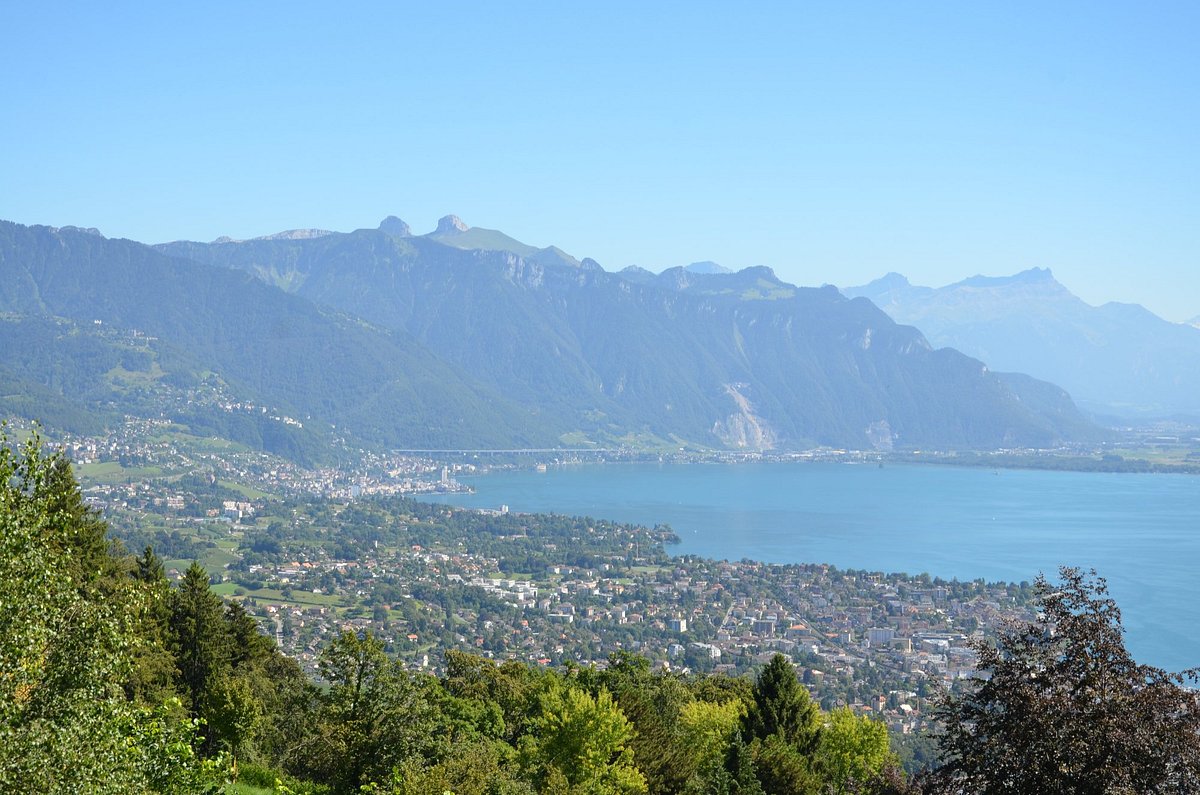
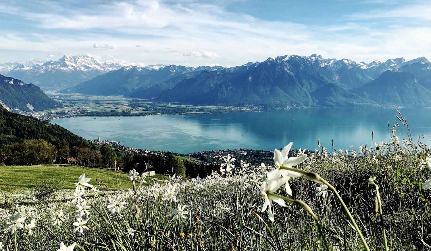
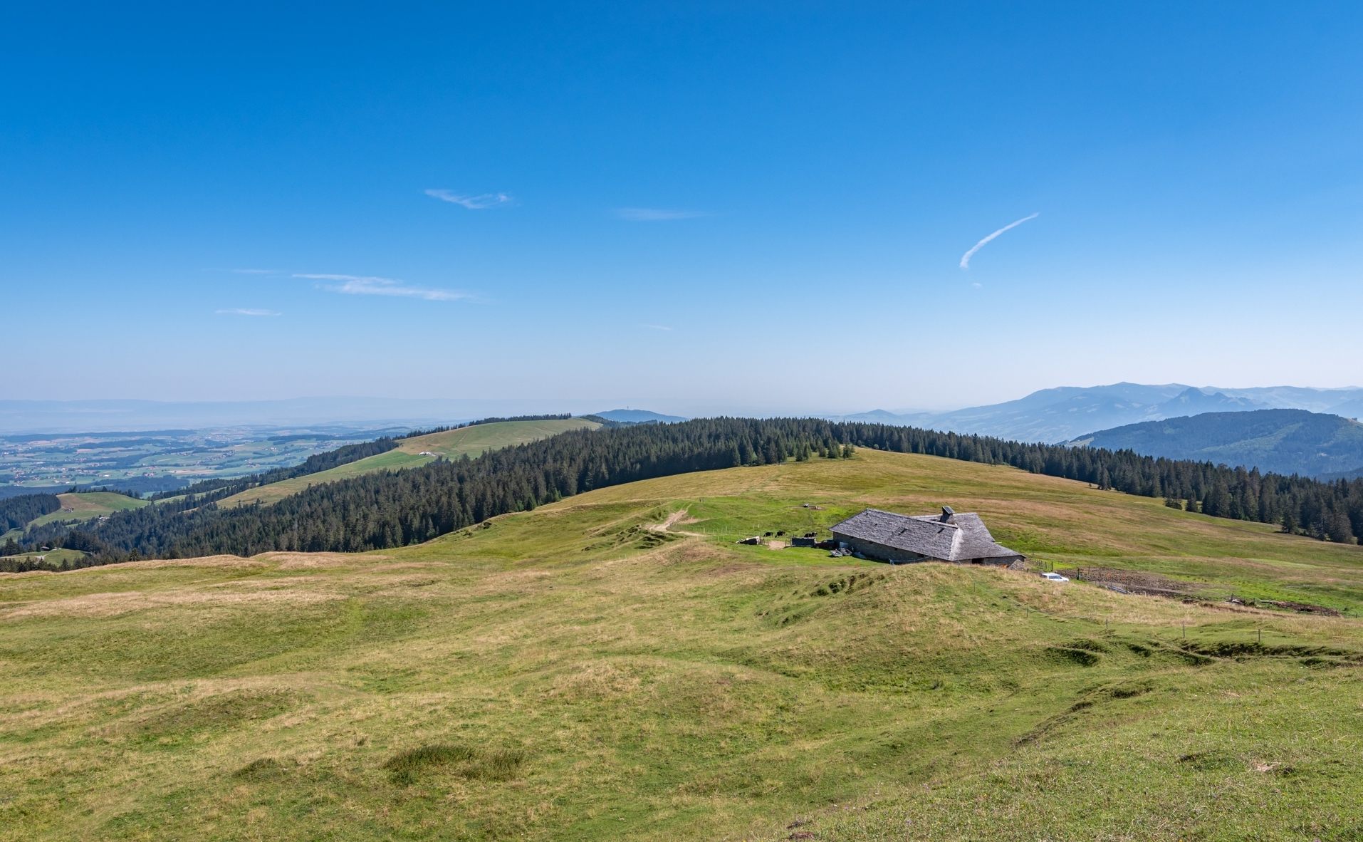
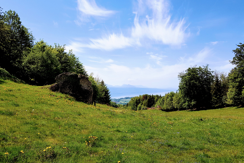
Pretty loop hike that leads to Mount Chesau, a summit located 983 meters above sea level. The path passes by a refreshment bar and offers superb views of the Friborg region.
Please note: half of the walk is on a road.

Already more than 200,000 users!
Uphill
304m
Highest point
972m
Downhill
304m
Lowest point
679m
Route type
Loop
Download the map on your smartphone to save battery and rest assured to always keep access to the route, even without signal.
Includes IGN France and Swisstopo.
I indicate whether dogs are allowed or prohibited on this trail
Can be difficult in Winter
0 ratings
Also enjoy:

Already more than 200,000 users!