Uphill
291m
Length
5km
Duration
2h
Elev gain
291m
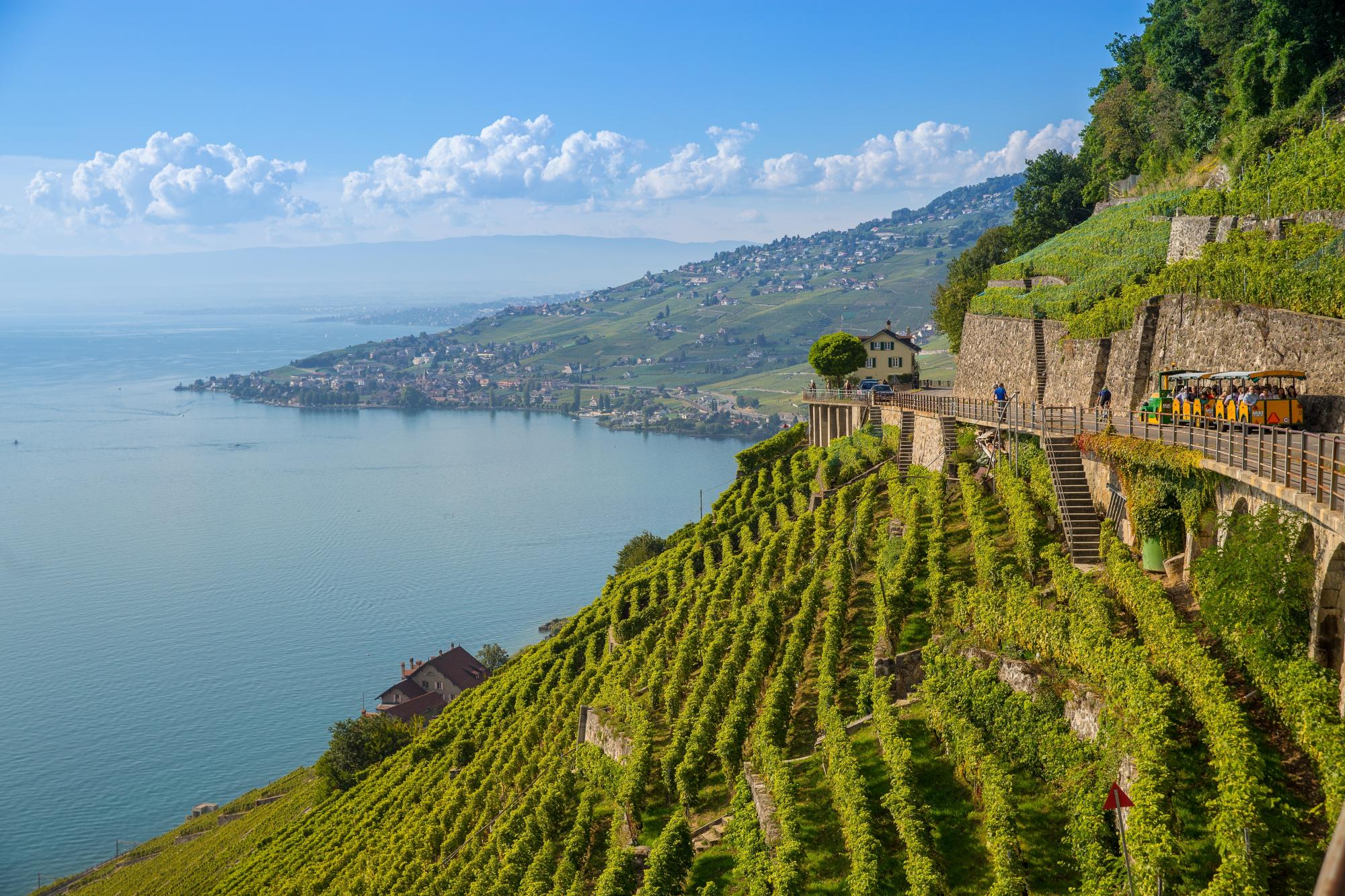
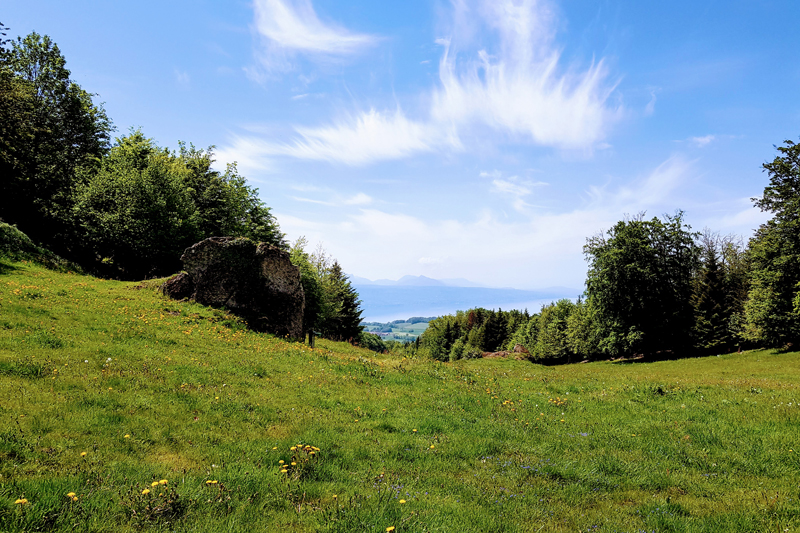
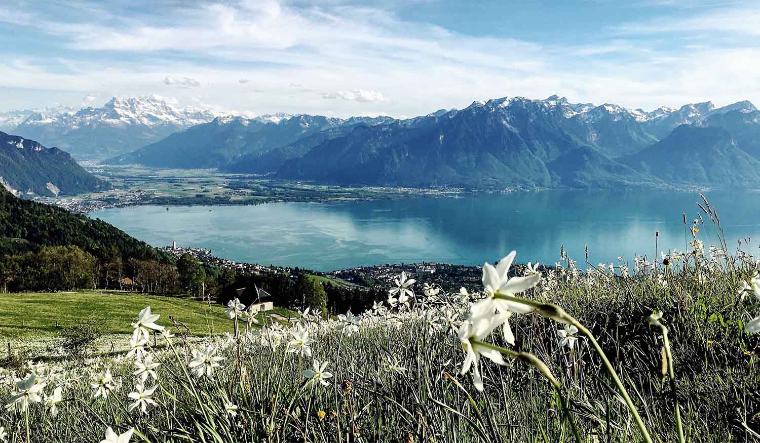
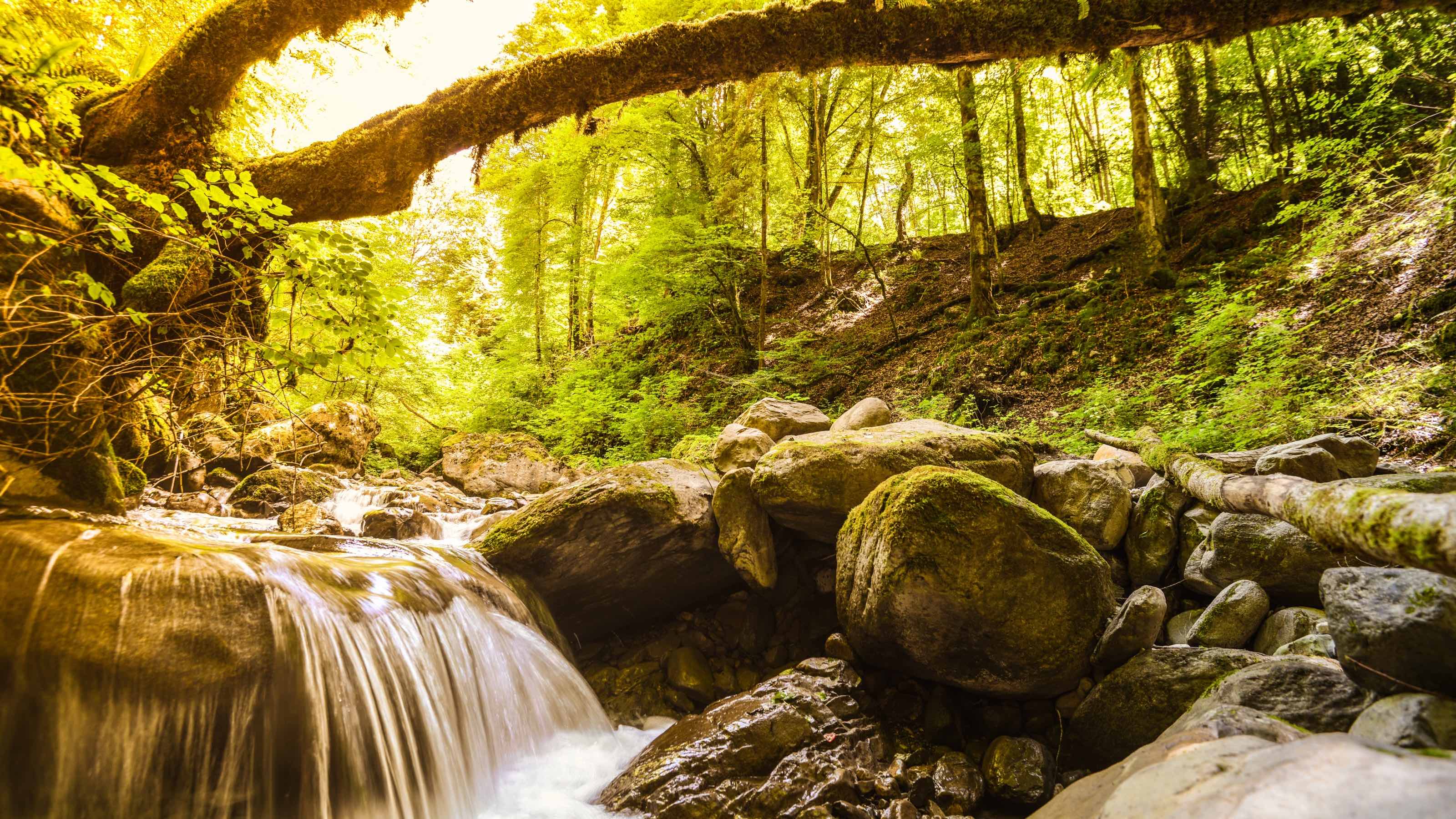
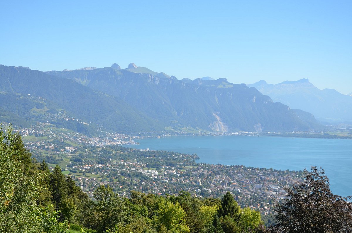
Nice walk to attack Mont Pèlerin, culminating at 1,080 meters above sea level. This crest located north of the city of Vevey hosts a panoramic tower, from where the view of Lake Geneva is splendid. Note, however, that going up the tower is not free.

Already more than 200,000 users!
Uphill
291m
Highest point
1079m
Downhill
291m
Lowest point
819m
Route type
There and back
Download the map on your smartphone to save battery and rest assured to always keep access to the route, even without signal.
Includes IGN France and Swisstopo.
Parking at the start of the hike.
Gare de Mont-Pèlerin nearby (funicular).
I indicate whether dogs are allowed or prohibited on this trail
Can be difficult in Winter
2 ratings
Also enjoy:

Already more than 200,000 users!