Uphill
756m

Length
12km
Duration
5h30min
Elev gain
756m
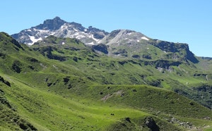
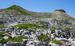
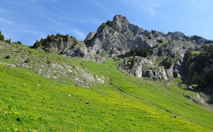
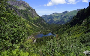
Starting from the Mettmen cable car, this hike climbs to the Leglerhütte hut. The trail begins by following the Garichtisee reservoir, crosses a forest and then ends up reaching the refuge, the highest point of this route.

Already more than 200,000 users!
Uphill
756m
Highest point
2302m
Downhill
756m
Lowest point
1614m
Route type
There and back
Download the map on your smartphone to save battery and rest assured to always keep access to the route, even without signal.
Includes IGN France and Swisstopo.
I indicate whether dogs are allowed or prohibited on this trail
From May to September
0 ratings
Also enjoy:

Already more than 200,000 users!