Uphill
592m

Length
6km
Duration
4h
Elev gain
592m
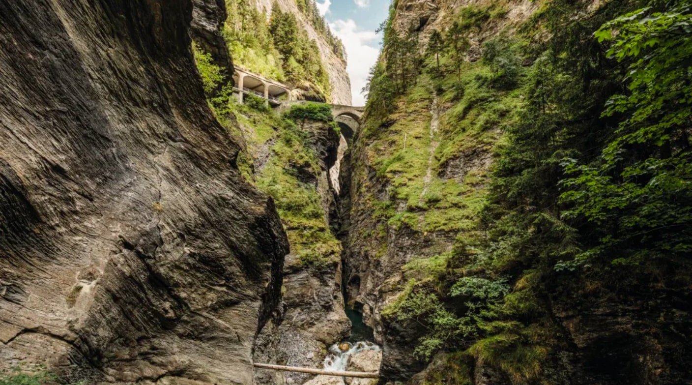
Starting near the Sufnersee, this route explores Lake Lai da Vons, a small body of water nestled between the Rheinwald and Val Schons. Located at 1,991 meters above sea level, you have to climb a little to discover it. But once at the top, the efforts are rewarded and the view of the Alperschällihorn, Pizzo Tambo, Guggernüll, Einshorn, Teurihorn and Steilerhorn is simply fantastic!

Already more than 200,000 users!
Uphill
592m
Highest point
2006m
Downhill
592m
Lowest point
1412m
Route type
There and back
Download the map on your smartphone to save battery and rest assured to always keep access to the route, even without signal.
Includes IGN France and Swisstopo.
I indicate whether dogs are allowed or prohibited on this trail
From May to September
0 ratings
Also enjoy:

Already more than 200,000 users!