Uphill
669m

Length
13km
Duration
5h
Elev gain
669m
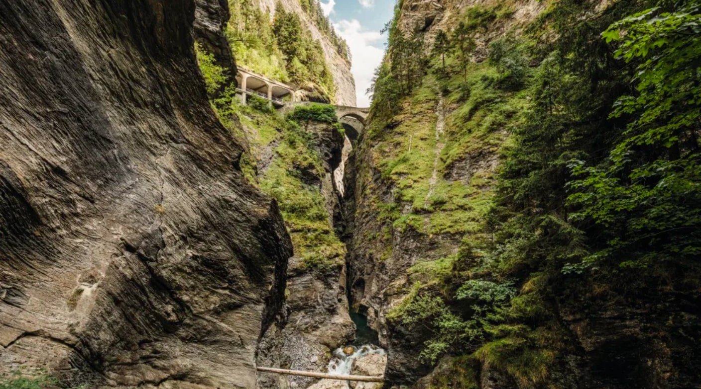
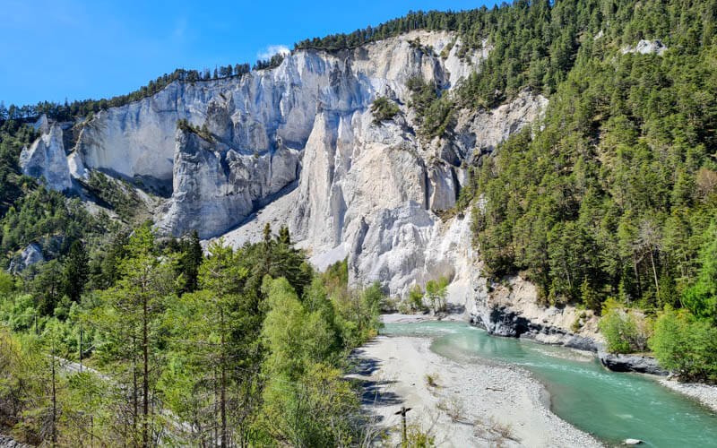
Departing from Splügen, this hike makes a loop on well-developed trails. The route climbs, skirts a river, passes through pastures and offers superb panoramic views.

Already more than 200,000 users!
Uphill
669m
Highest point
2131m
Downhill
669m
Lowest point
1460m
Route type
Loop
Download the map on your smartphone to save battery and rest assured to always keep access to the route, even without signal.
Includes IGN France and Swisstopo.
I indicate whether dogs are allowed or prohibited on this trail
From May to September
0 ratings
Also enjoy:

Already more than 200,000 users!