Uphill
113m
Length
10km
Duration
3h
Elev gain
113m
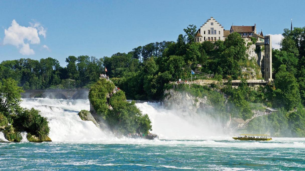
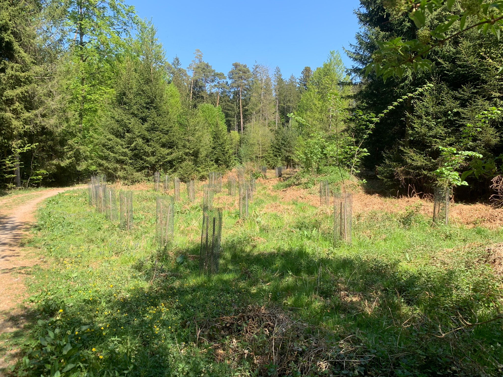
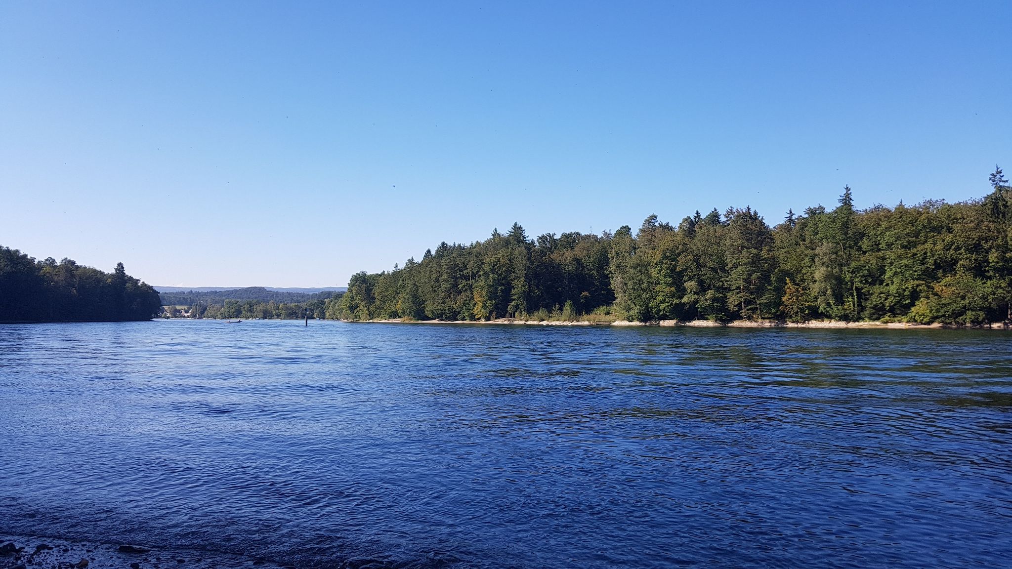
After a start near the Petri park, this short walk runs along the Rhine. The route is mainly in the shade of trees and offers lovely views of the river.

Already more than 200,000 users!
Uphill
113m
Highest point
420m
Downhill
113m
Lowest point
391m
Route type
There and back
Download the map on your smartphone to save battery and rest assured to always keep access to the route, even without signal.
Includes IGN France and Swisstopo.
I indicate whether dogs are allowed or prohibited on this trail
All year
0 ratings
Also enjoy:

Already more than 200,000 users!