Uphill
988m

Length
18km
Duration
8h
Elev gain
988m
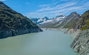
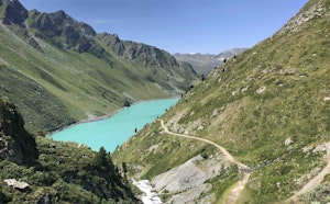
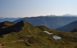
After a night spent at the foot of the Grande Dixence dam, you first need to climb to get back to the level of Lac des Dix. You can then take a balcony path for about 7 kilometers, flat and overlooking the lake. The views are grandiose, on what is the most imposing artificial reservoir in Switzerland.
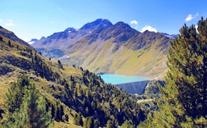
After this respite, the route climbs again over more than 500 meters to reach the Col de Riedmatten (2,919 m), which allows you to get a little closer to Mont Blanc de Cheilon.
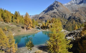
Finally, the path gradually descends towards Arolla to close this second stage.

Already more than 200,000 users!
Uphill
988m
Highest point
2911m
Downhill
1145m
Lowest point
2016m
Route type
One way
Download the map on your smartphone to save battery and rest assured to always keep access to the route, even without signal.
Includes IGN France and Swisstopo.
I indicate whether dogs are allowed or prohibited on this trail
From June to September
0 ratings
Also enjoy:

Already more than 200,000 users!