Uphill
270m
Length
6km
Duration
2h
Elev gain
270m
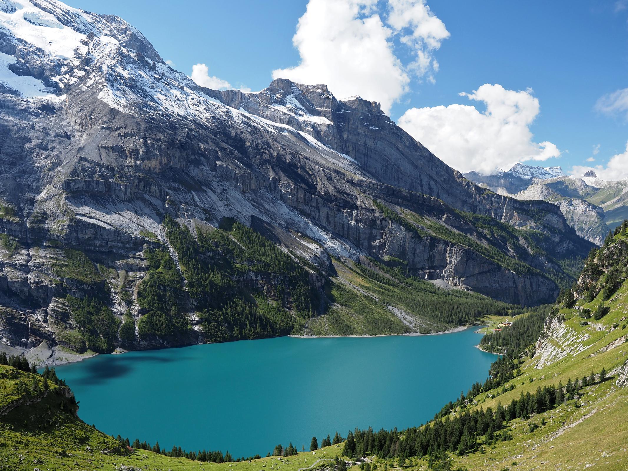
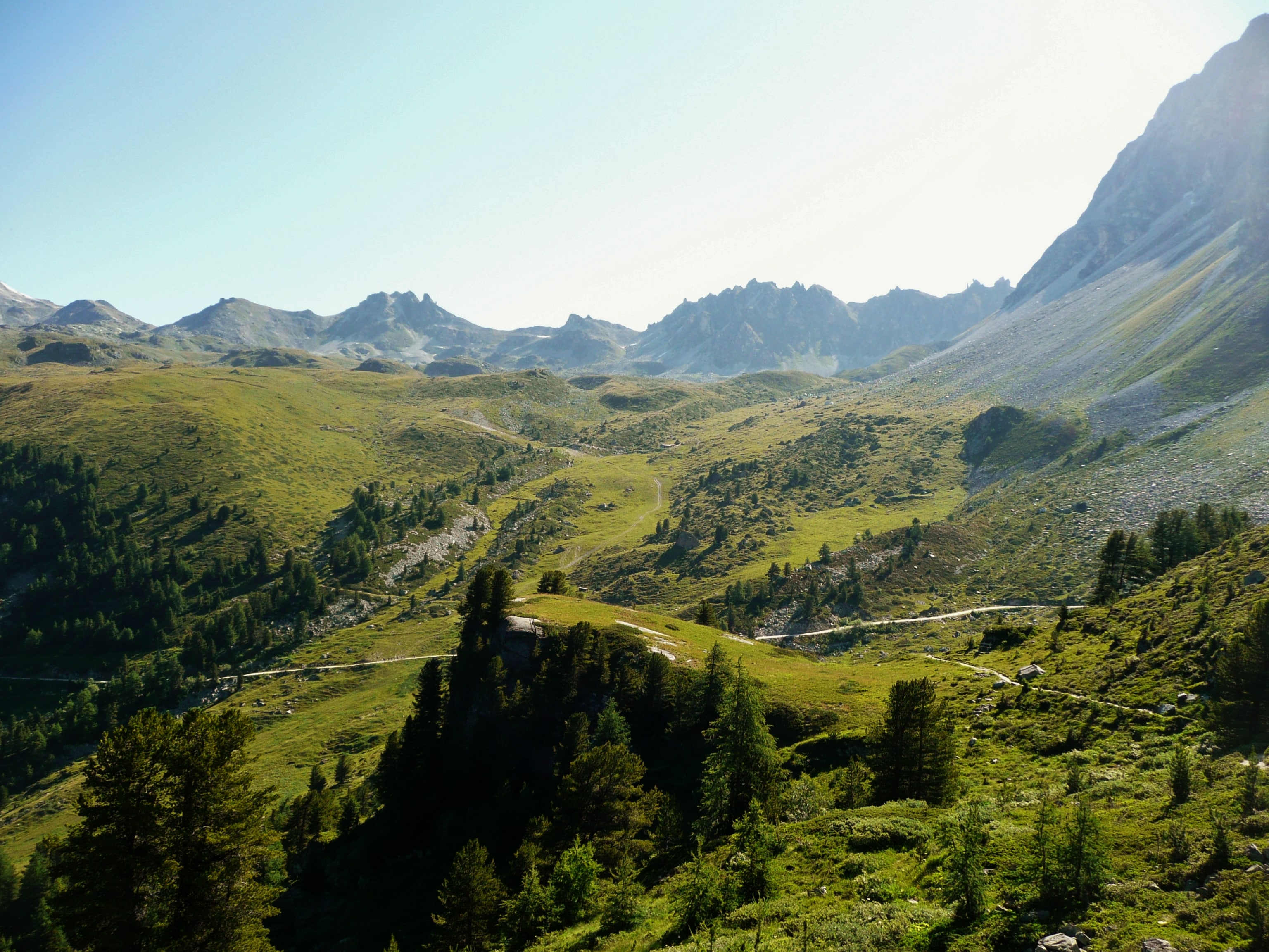
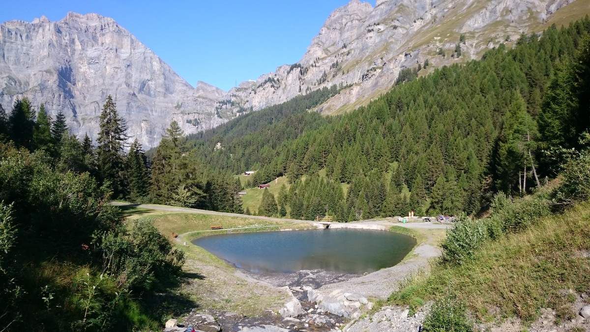
Here is a walk that is both simple and superb. Departing from Loèche-les-Bains, this hike makes a loop in a magnificent natural setting which also passes by Lake Majingsee. Here, a mandatory stop to enjoy the beauty of nature and appreciate the present moment.

Already more than 200,000 users!
Uphill
270m
Highest point
1679m
Downhill
270m
Lowest point
1409m
Route type
Loop
Download the map on your smartphone to save battery and rest assured to always keep access to the route, even without signal.
Includes IGN France and Swisstopo.
I indicate whether dogs are allowed or prohibited on this trail
From May to October
3 ratings
Also enjoy:

Already more than 200,000 users!