Uphill
216m
Length
9km
Duration
2h30min
Elev gain
216m
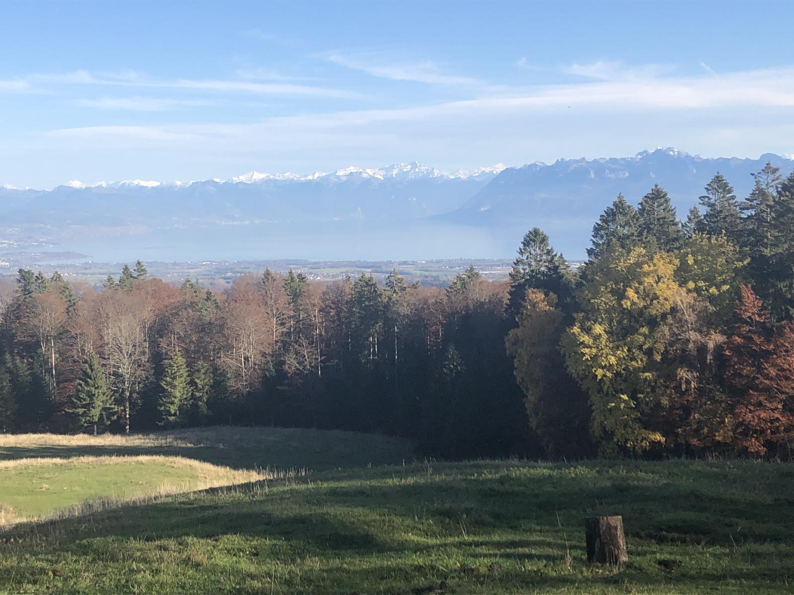
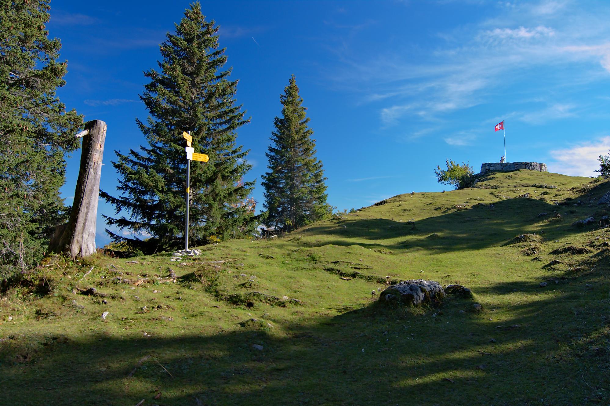
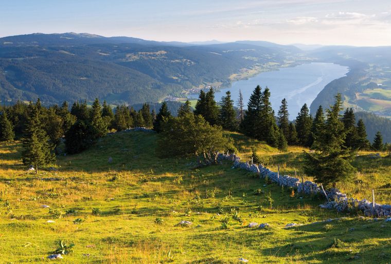
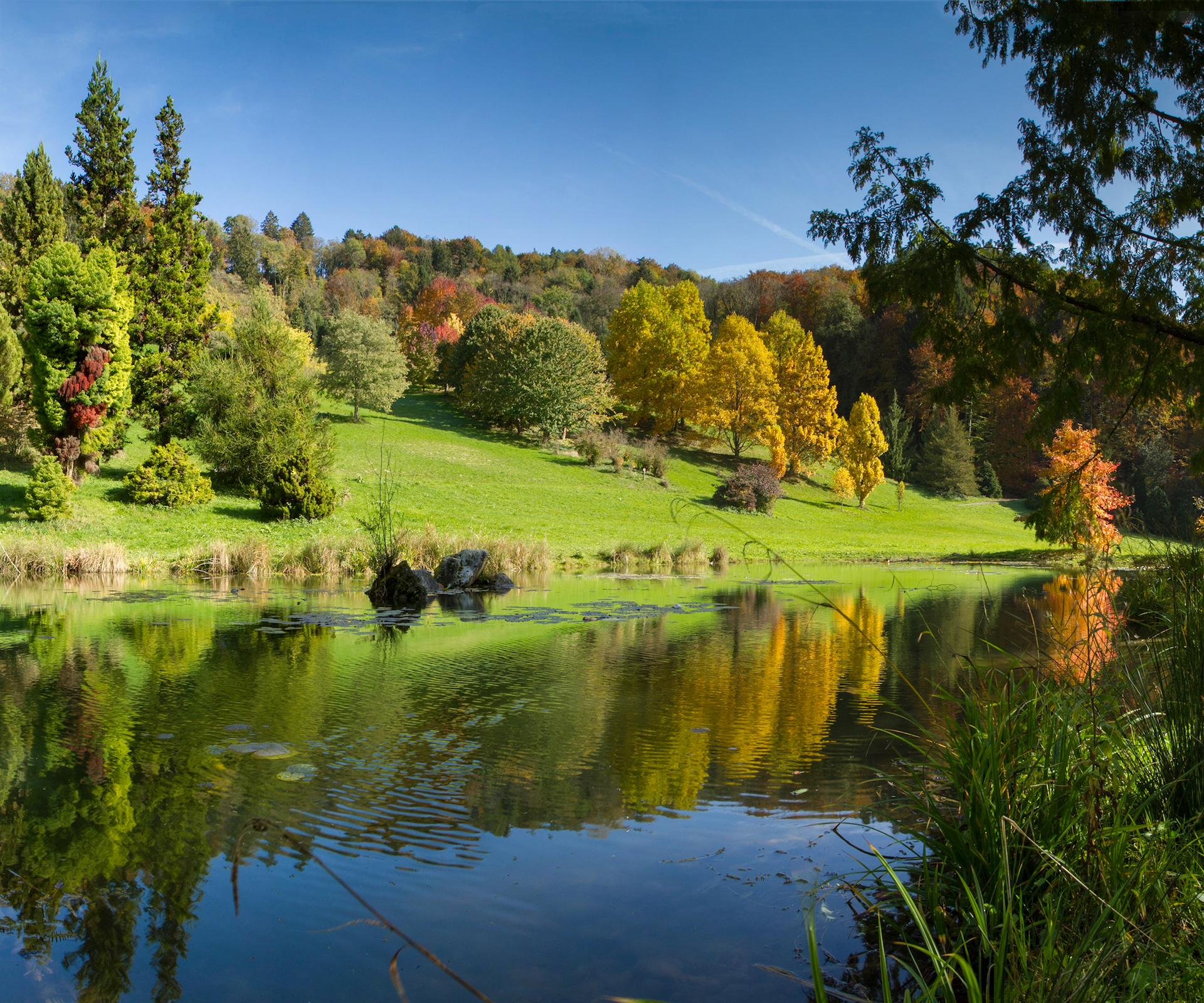
Pretty walk taking place along the Aubonne, in a splendid natural environment. The route makes a loop, passes by the arboretum then very close to the Musée du Bois. In short, a beautiful hike to the rhythm of the water...

Already more than 200,000 users!
Uphill
216m
Highest point
701m
Downhill
216m
Lowest point
505m
Route type
Loop
Download the map on your smartphone to save battery and rest assured to always keep access to the route, even without signal.
Includes IGN France and Swisstopo.
I indicate whether dogs are allowed or prohibited on this trail
All year
3 ratings
Also enjoy:

Already more than 200,000 users!