Uphill
227m
Length
5km
Duration
2h
Elev gain
227m
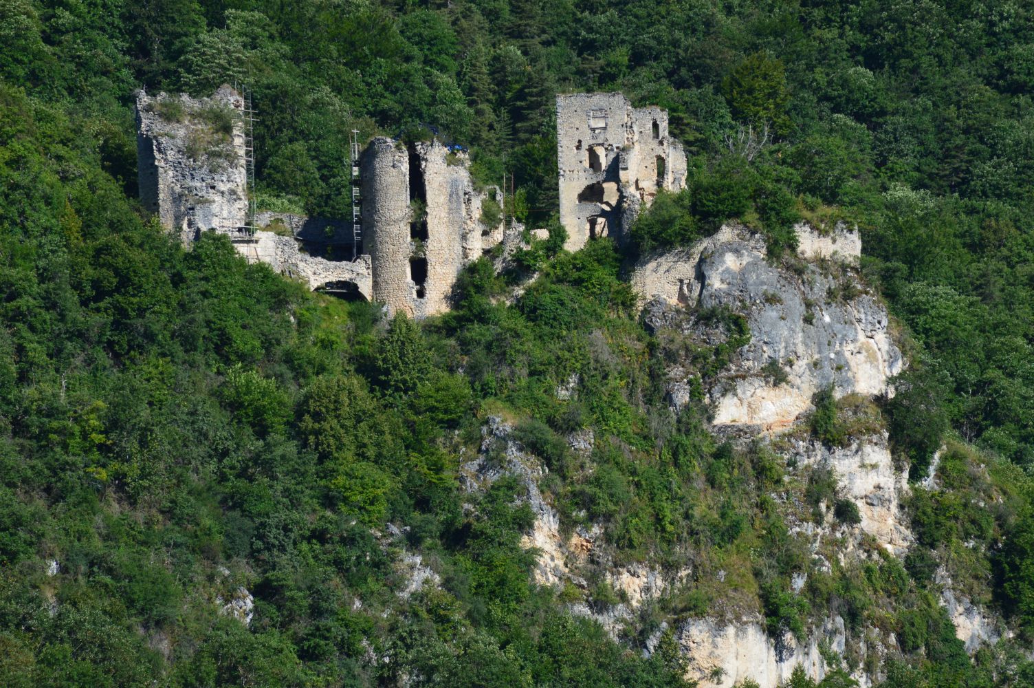
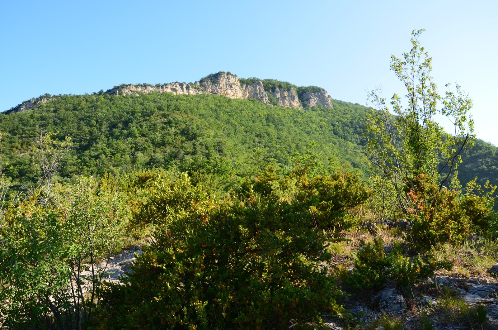
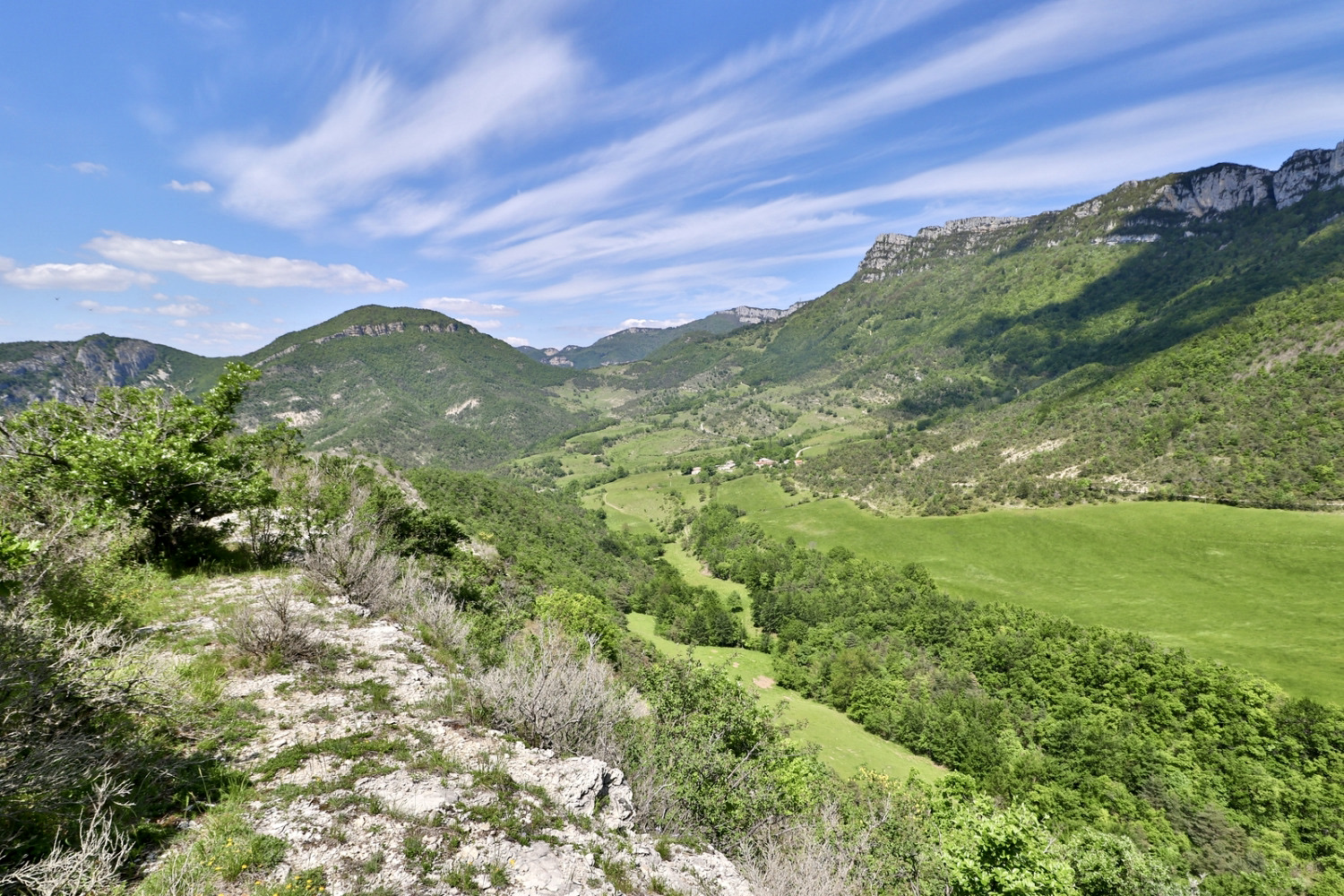
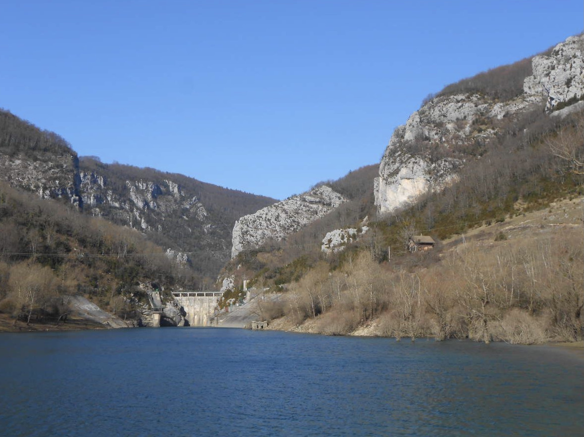
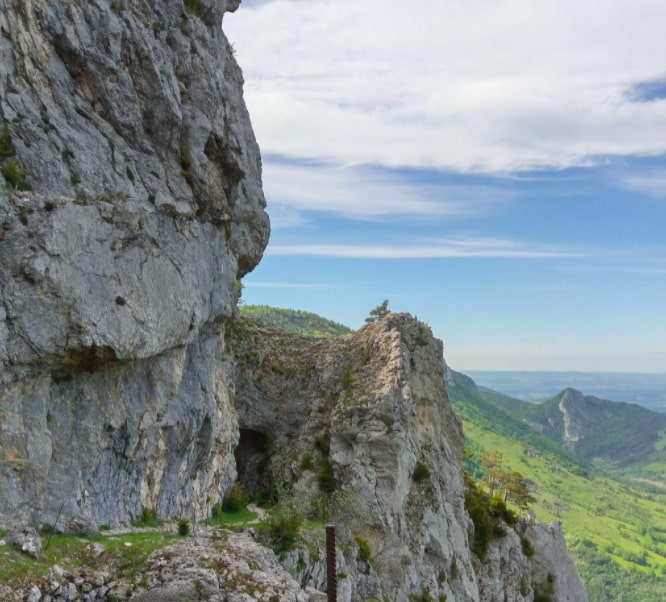
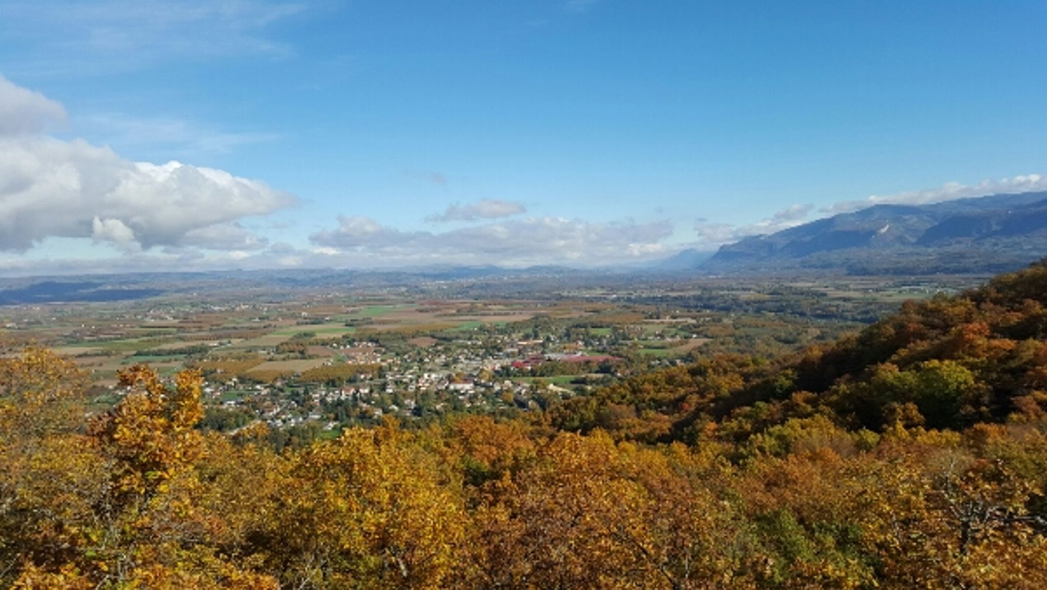
Small nice hike in the wood of Saint-Martin. The path makes a loop and takes a little height in order to offer pretty points of view.

Already more than 200,000 users!
Uphill
227m
Highest point
495m
Downhill
227m
Lowest point
295m
Route type
Loop
Download the map on your smartphone to save battery and rest assured to always keep access to the route, even without signal.
Includes IGN France and Swisstopo.
I indicate whether dogs are allowed or prohibited on this trail
All year
0 ratings
Also enjoy:

Already more than 200,000 users!