Uphill
1192m
Length
12km
Duration
8h
Elev gain
1192m
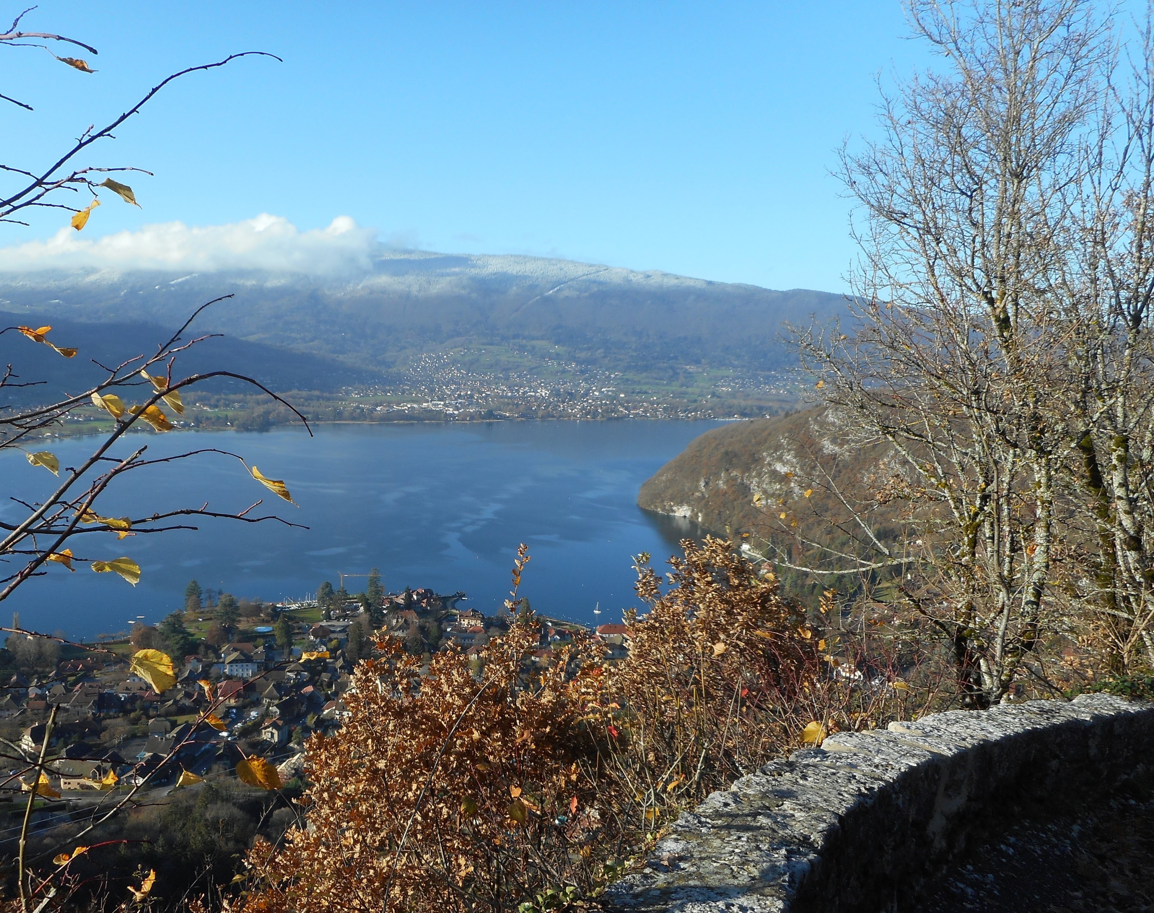
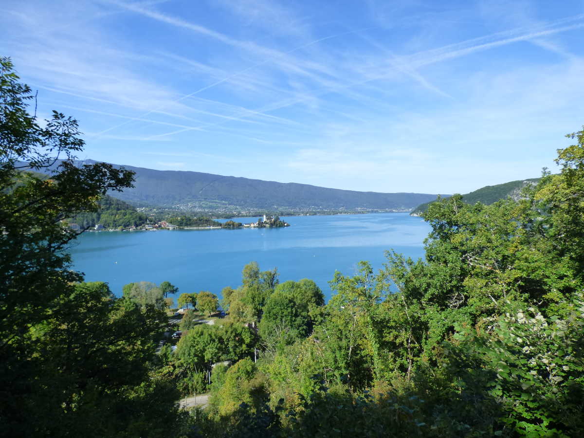
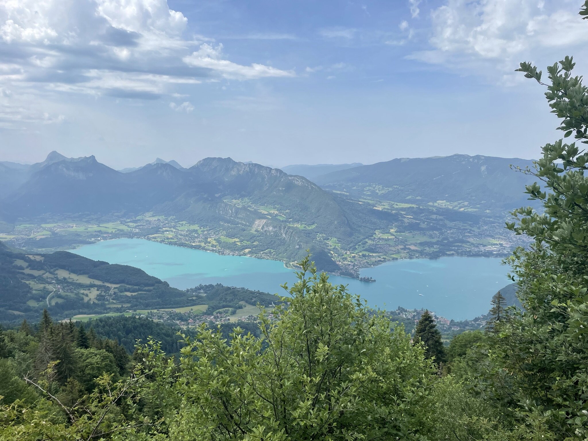
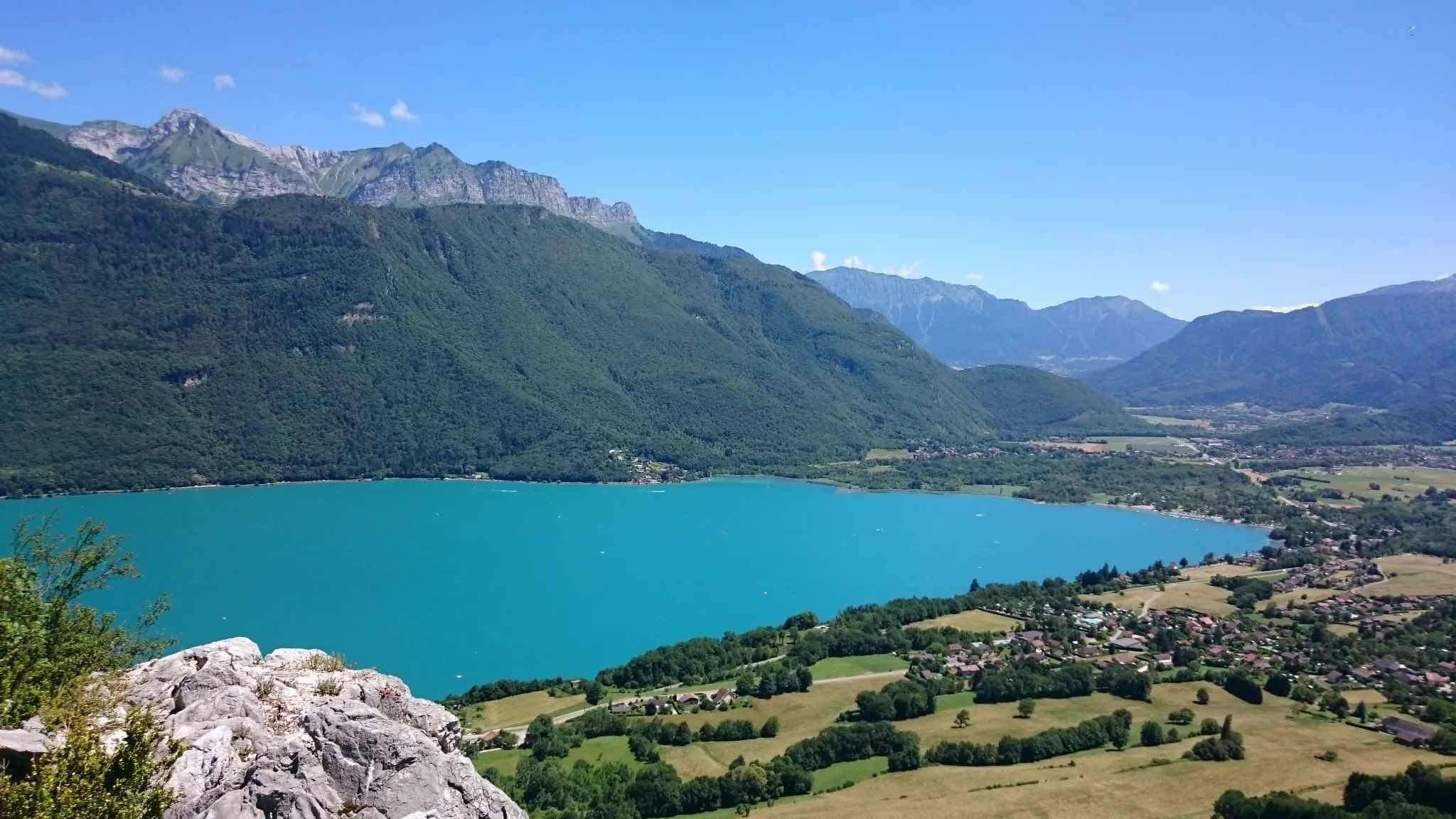
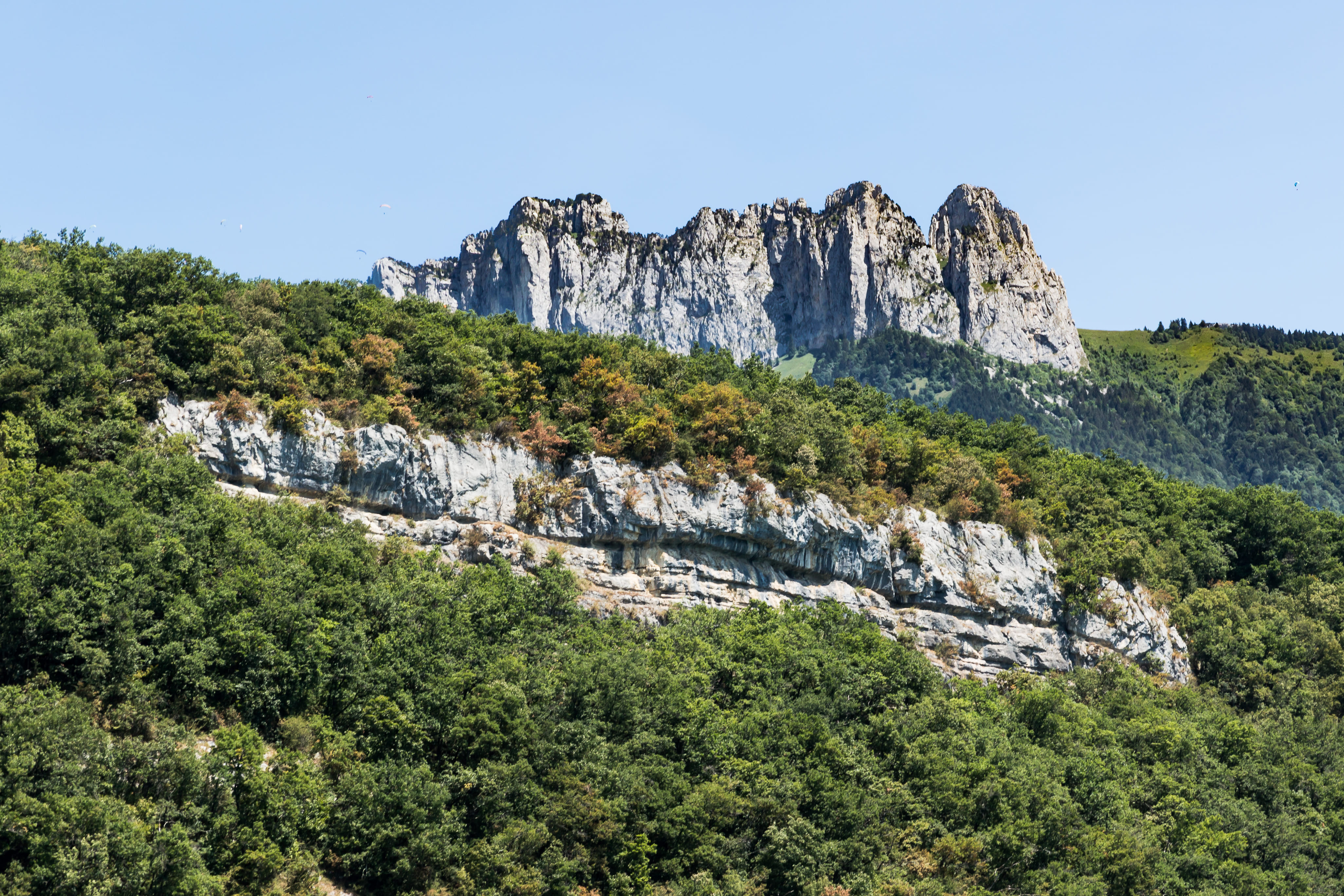
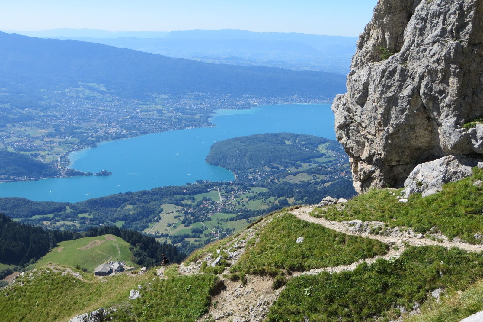
Located in the Bornes massif, this hike reaches the summit of La Tournette (2351 m) from the Col de l'Aulp. Superb panorama over Lake Annecy, the Bornes massif and Mont-Blanc.

Already more than 200,000 users!
Uphill
1192m
Highest point
2308m
Downhill
1192m
Lowest point
1198m
Route type
Loop
Download the map on your smartphone to save battery and rest assured to always keep access to the route, even without signal.
Includes IGN France and Swisstopo.
I indicate whether dogs are allowed or prohibited on this trail
From May to September
1 rating
Also enjoy:

Already more than 200,000 users!