Uphill
455m
Length
5km
Duration
3h
Elev gain
455m
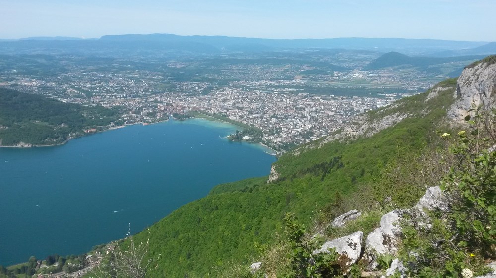
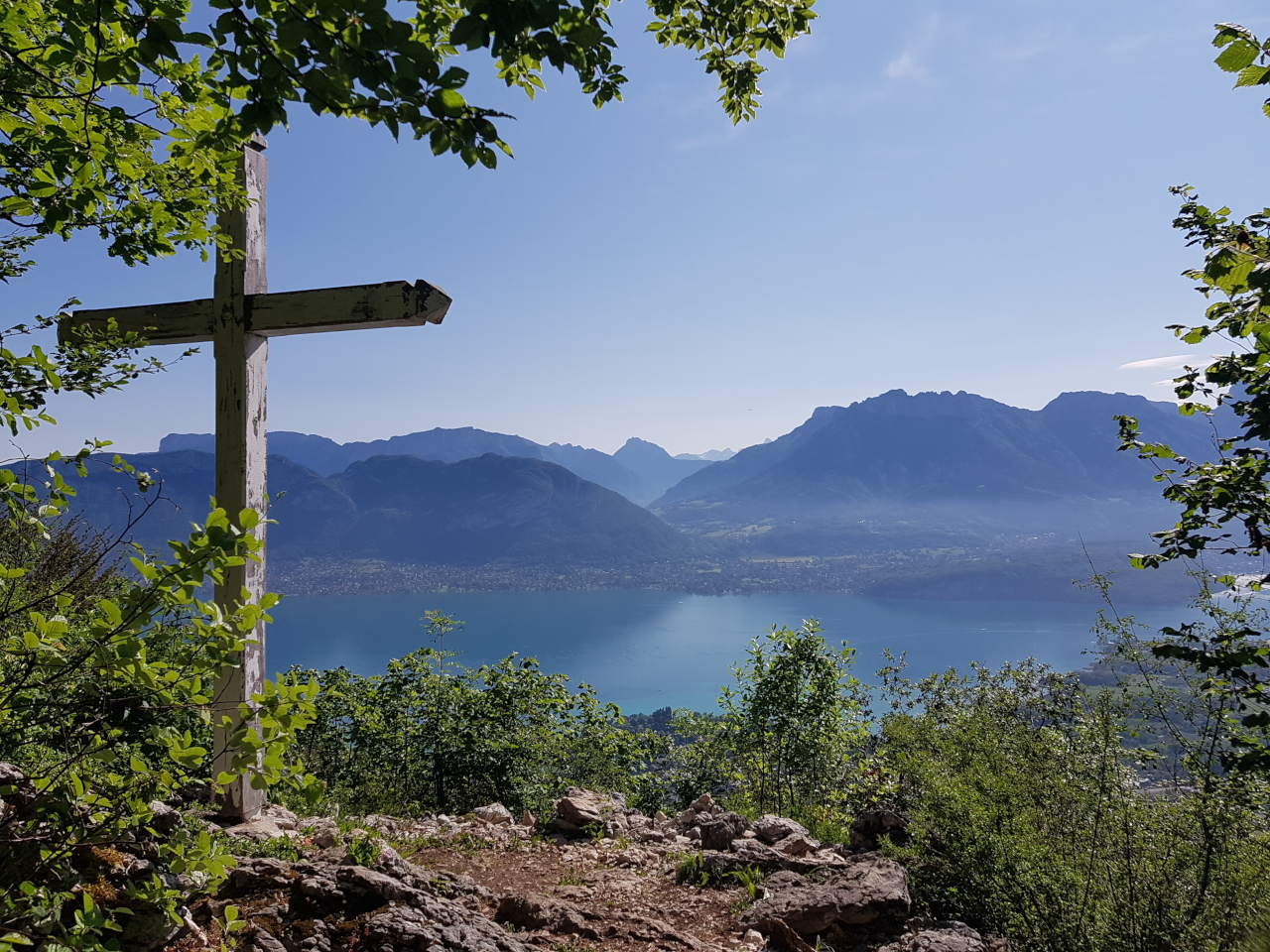
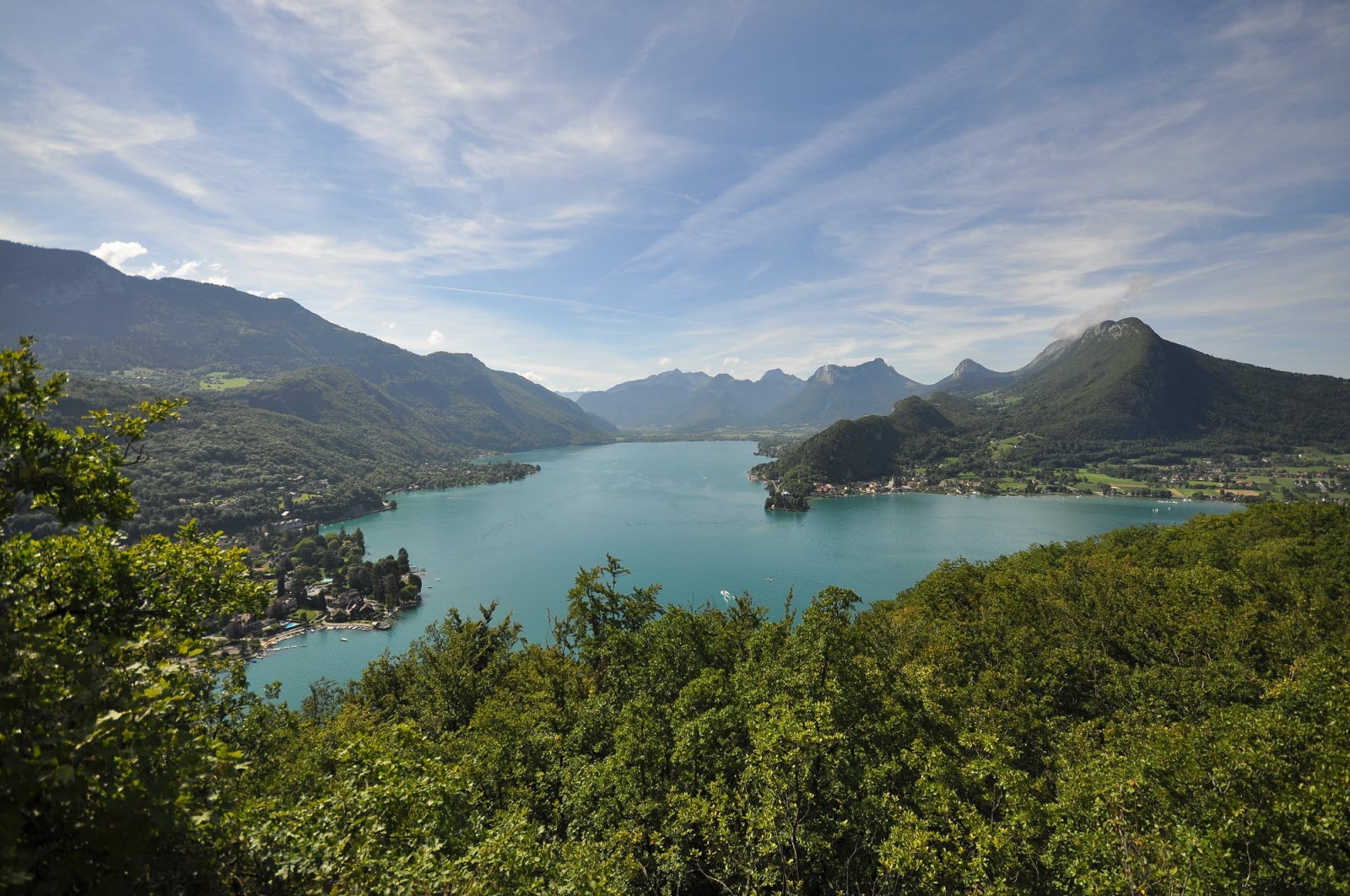
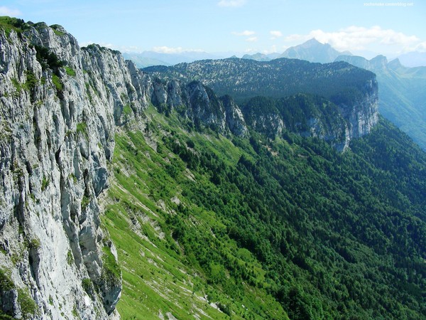
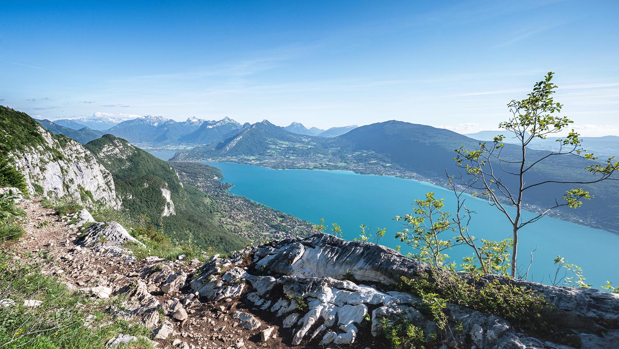
Starting from the Pré Vernet pass, this hike first takes a forest path along a cliff. The route passes by Mont Veyrier (1,291 m) and Mont Baron (1,291 m), offering a lovely panoramic view of Lake Annecy.

Already more than 200,000 users!
Uphill
455m
Highest point
1289m
Downhill
455m
Lowest point
931m
Route type
Loop
Download the map on your smartphone to save battery and rest assured to always keep access to the route, even without signal.
Includes IGN France and Swisstopo.
I indicate whether dogs are allowed or prohibited on this trail
Can be difficult in Winter
7 ratings
Also enjoy:

Already more than 200,000 users!