Uphill
192m
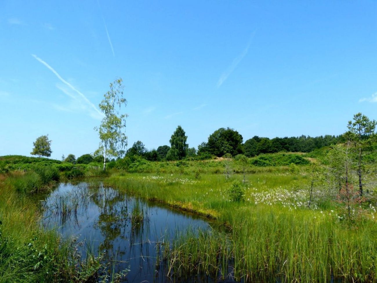
France > Bourgogne-Franche-Comté > Haute-Saône > Ballons des Vosges Regional Natural Park
Length
10km
Duration
3h
Elev gain
192m
Here is a nice walk in the heart of the Ballons des Vosges regional natural park, in Esmoulières. This loop route crosses beautiful and varied landscapes, between woods, agricultural areas and swamps, then follows the course of the Saulotte stream to return to the starting point.

Already more than 200,000 users!
Uphill
192m
Highest point
668m
Downhill
192m
Lowest point
512m
Route type
Loop
Download the map on your smartphone to save battery and rest assured to always keep access to the route, even without signal.
Includes IGN France and Swisstopo.
I indicate whether dogs are allowed or prohibited on this trail
All year
0 ratings
Also enjoy:

Already more than 200,000 users!


