Uphill
86m
Length
8km
Duration
2h
Elev gain
86m
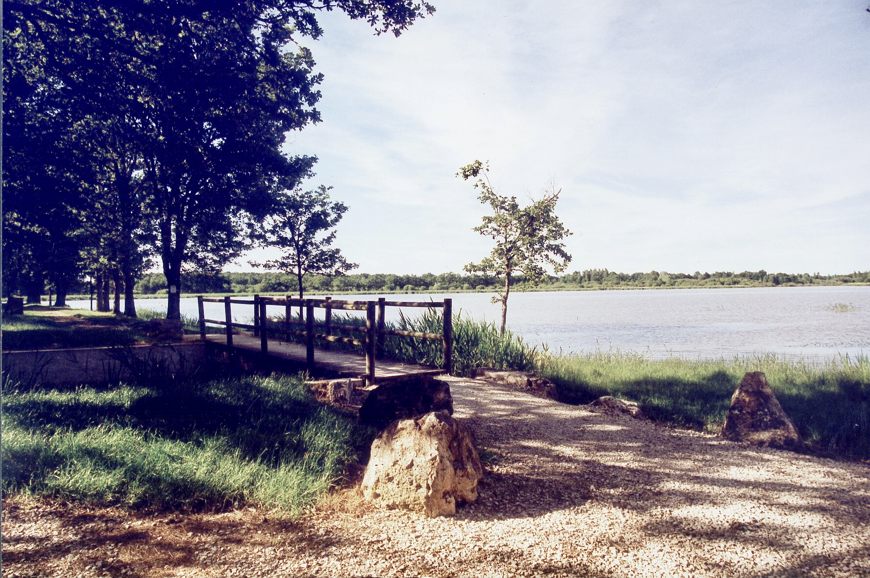
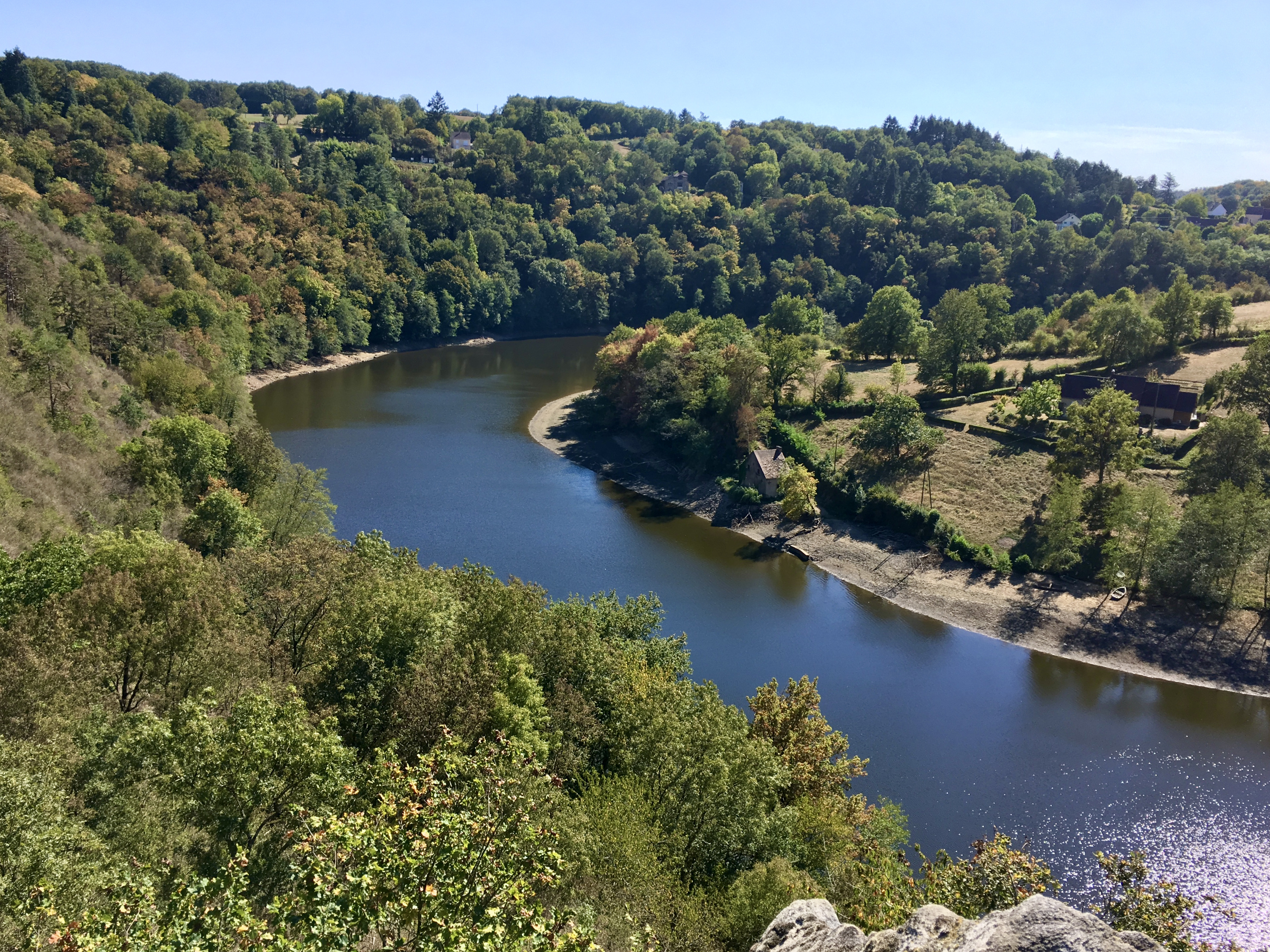
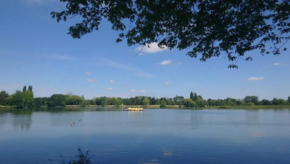
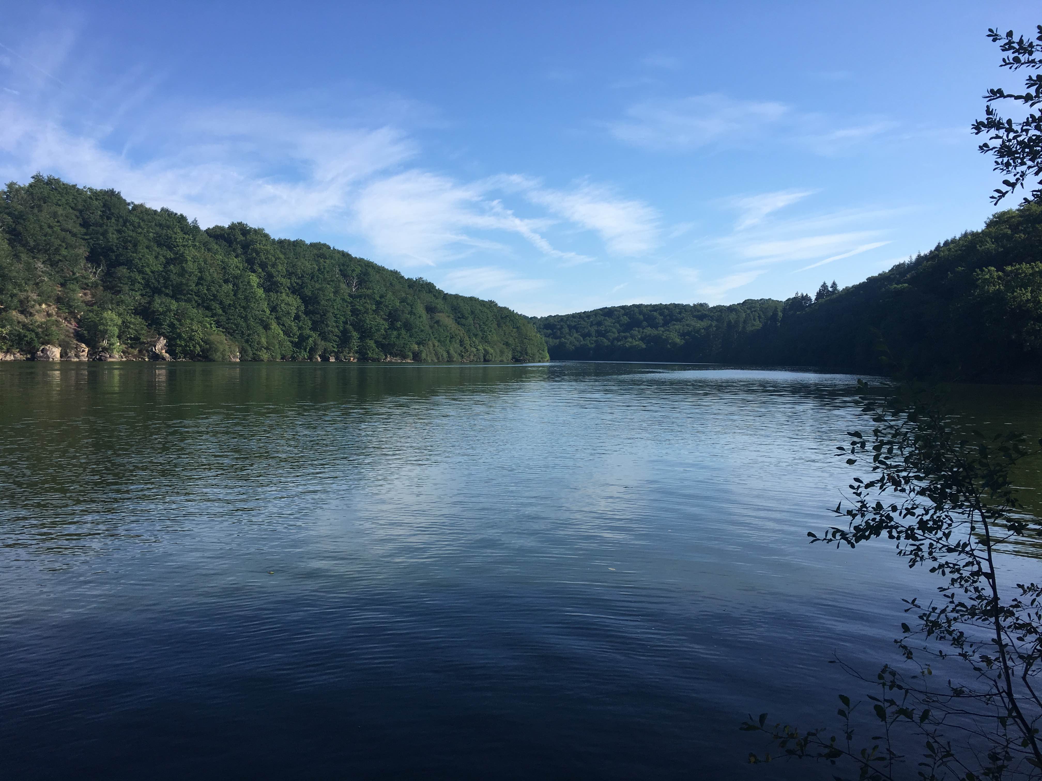
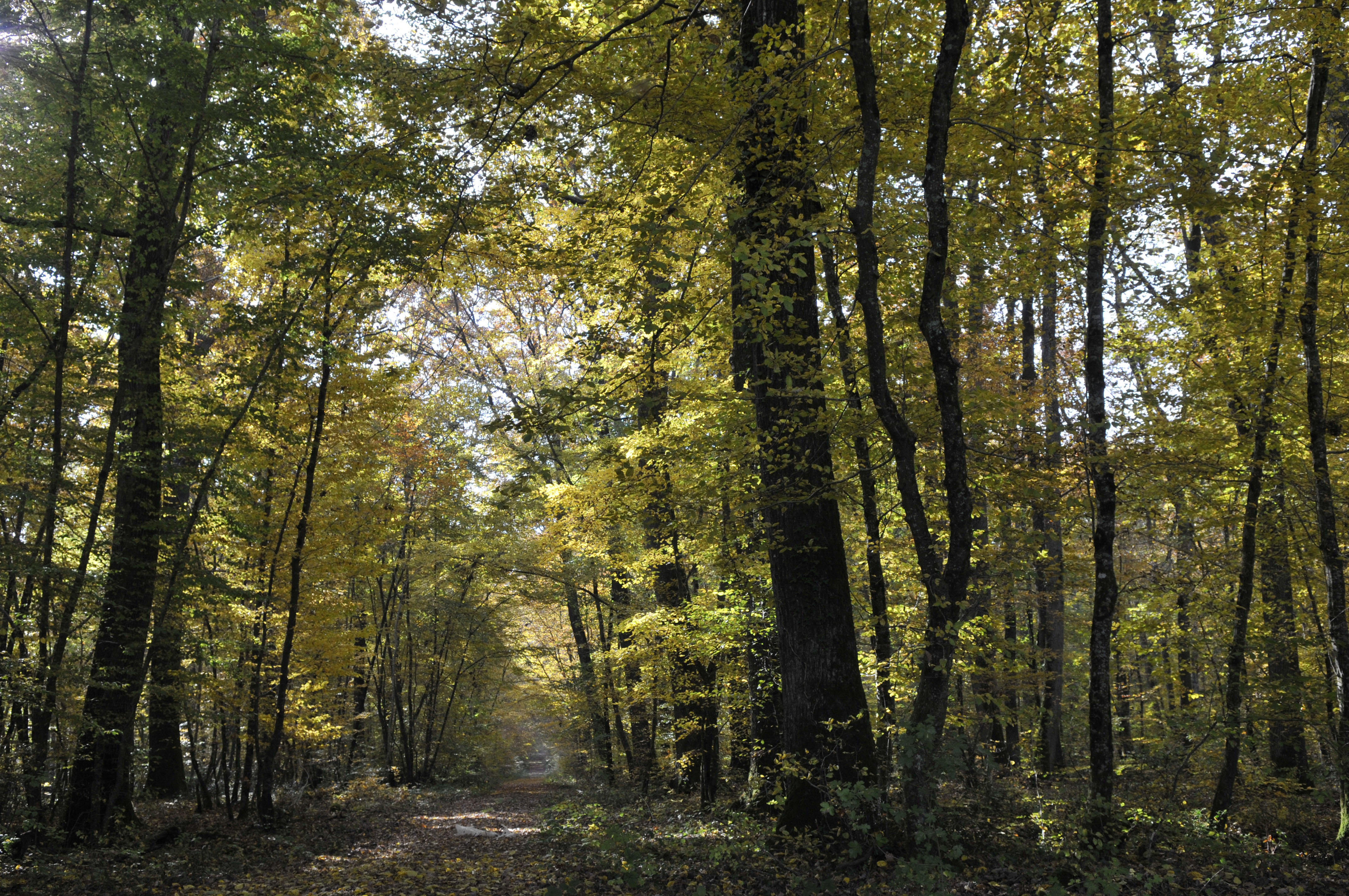
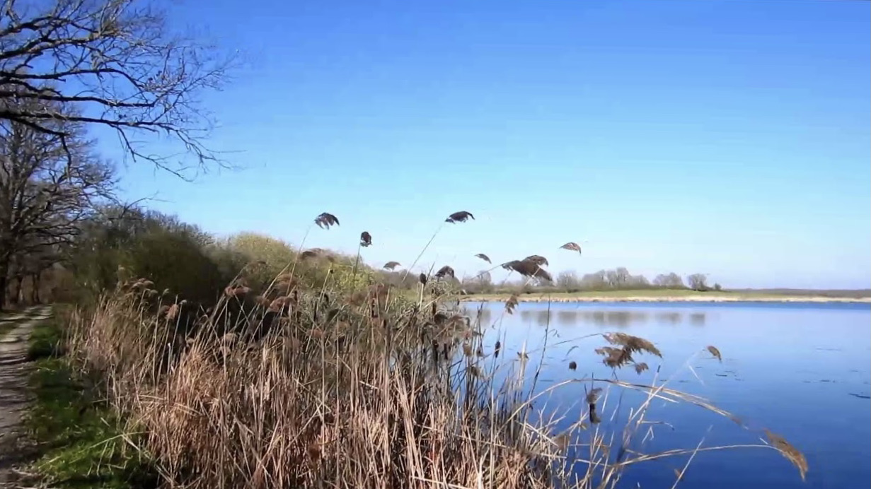
This is a very nice hike near the Terres et Étangs de Brenne nature reserve. The route meanders around the ponds of Blizon, Pèchevreau, Épinettes, Buret and others. In the middle of this magnificent nature, many animals can also be observed.

Already more than 200,000 users!
Uphill
86m
Highest point
112m
Downhill
86m
Lowest point
77m
Route type
Loop
Download the map on your smartphone to save battery and rest assured to always keep access to the route, even without signal.
Includes IGN France and Swisstopo.
I indicate whether dogs are allowed or prohibited on this trail
All year
0 ratings
Also enjoy:

Already more than 200,000 users!