Uphill
67m
Length
6km
Duration
1h30min
Elev gain
67m
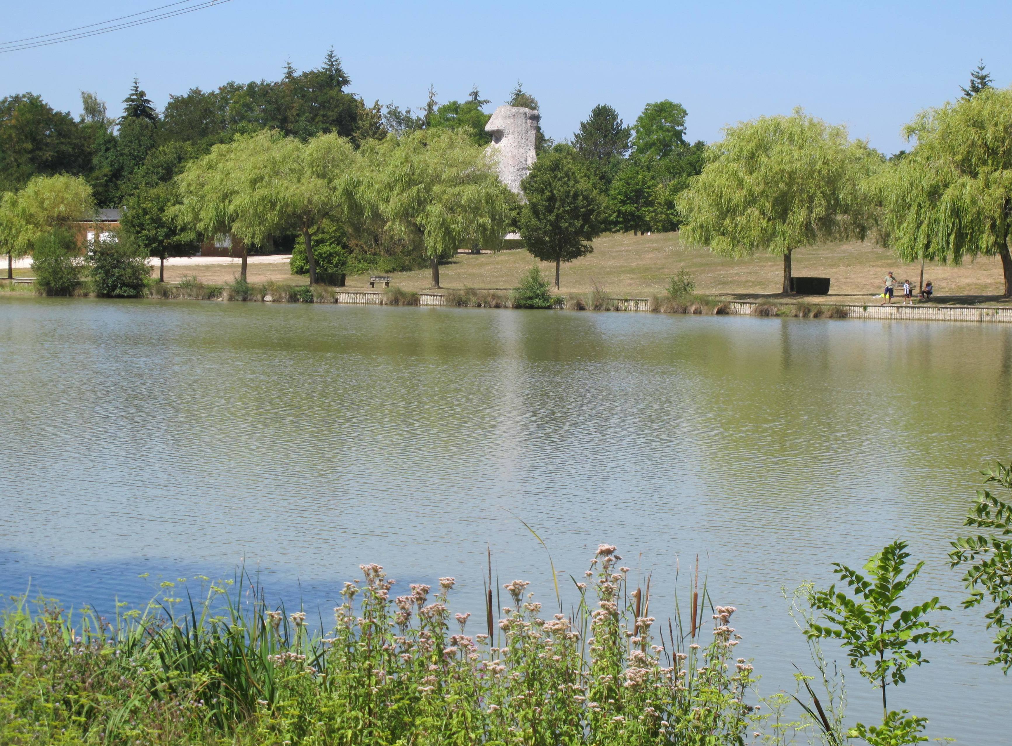
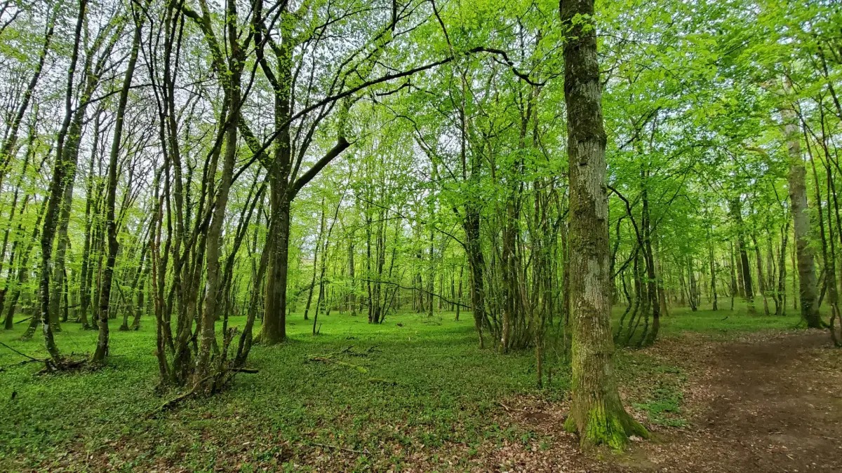
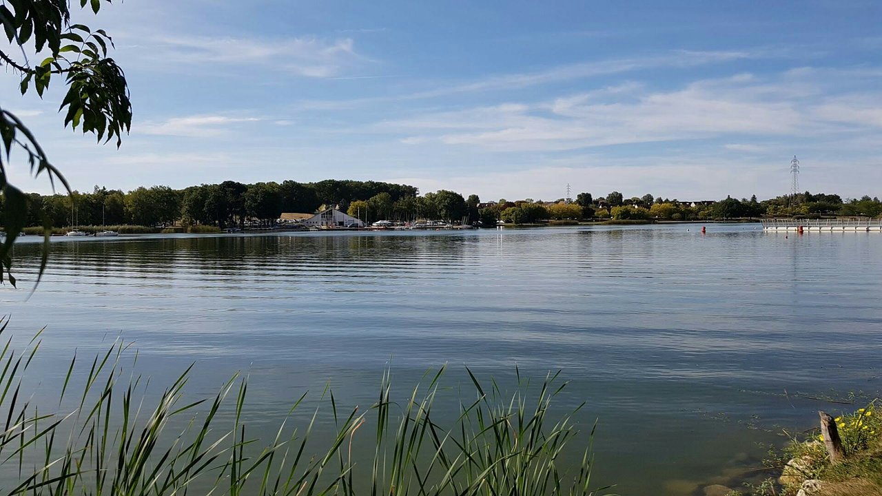
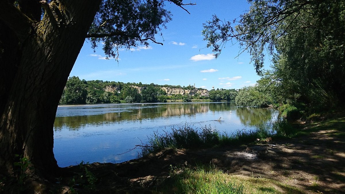
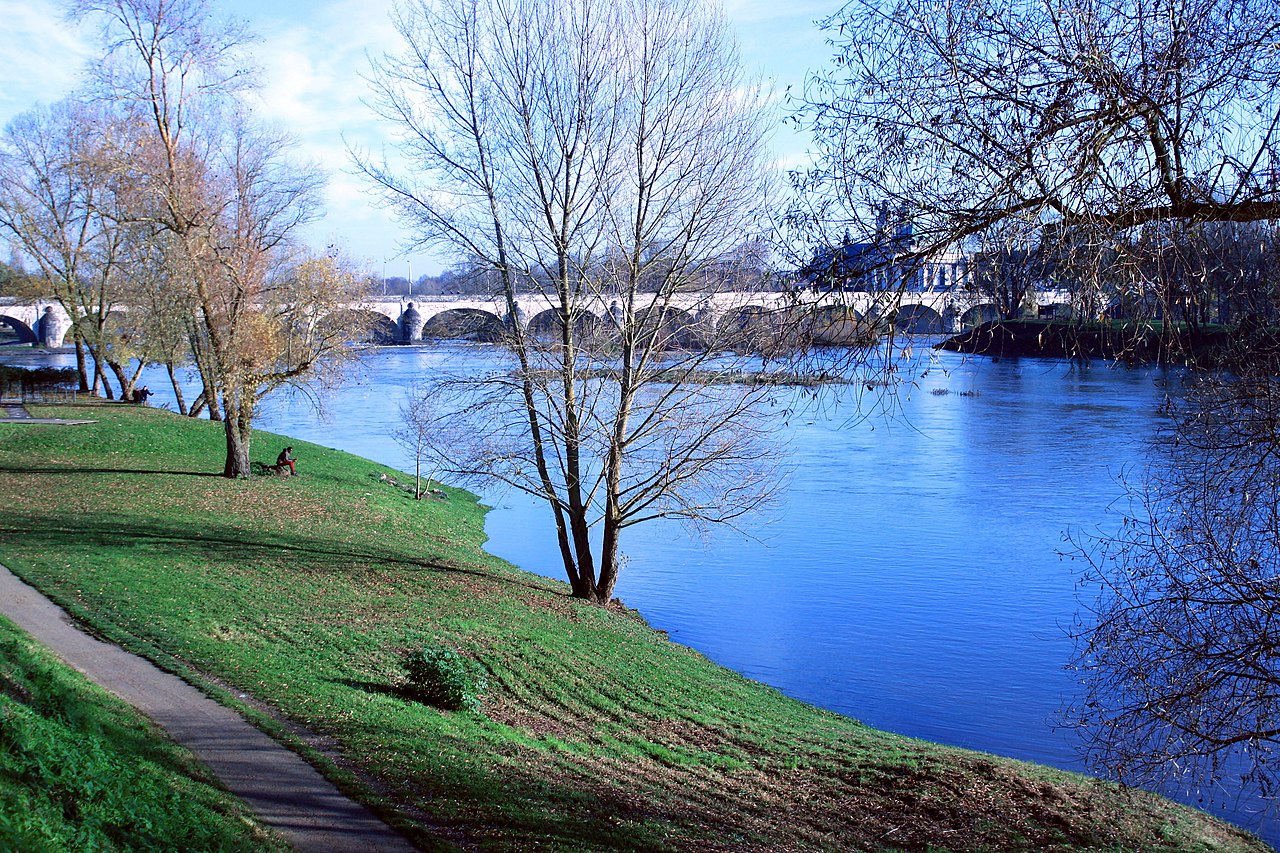
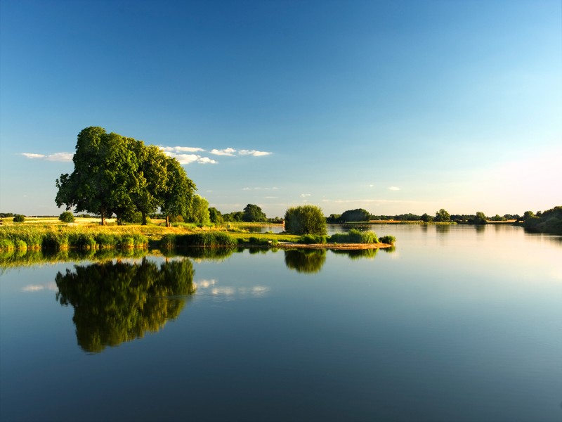
This route goes around the Louroux pond, surrounded by fields, undergrowth, and the village at the north end.
Note a short passage on the road halfway through.

Already more than 200,000 users!
Uphill
67m
Highest point
117m
Downhill
67m
Lowest point
77m
Route type
Loop
Download the map on your smartphone to save battery and rest assured to always keep access to the route, even without signal.
Includes IGN France and Swisstopo.
I indicate whether dogs are allowed or prohibited on this trail
All year
0 ratings
Also enjoy:

Already more than 200,000 users!