Uphill
67m
Length
9km
Duration
2h30min
Elev gain
67m
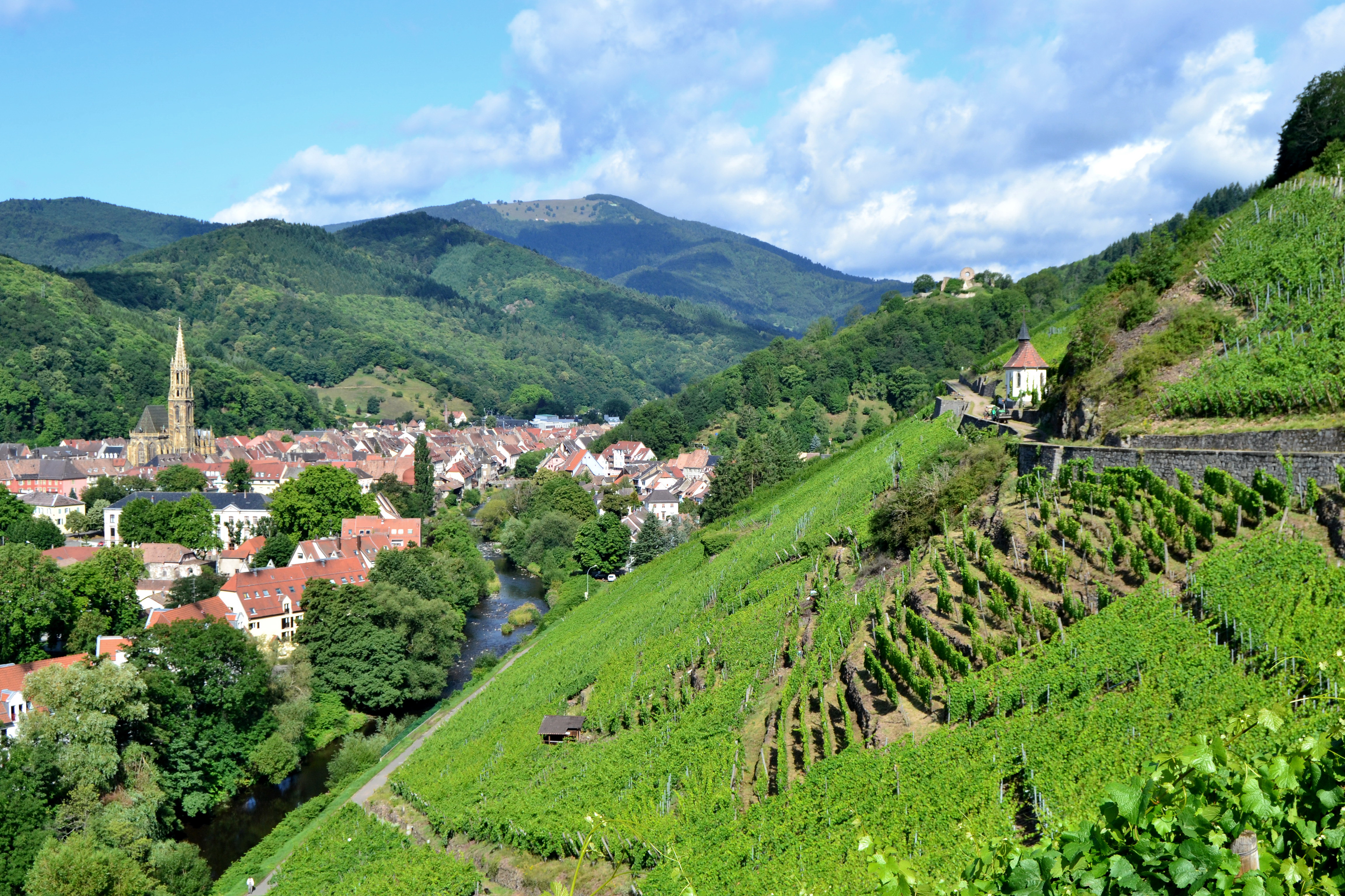
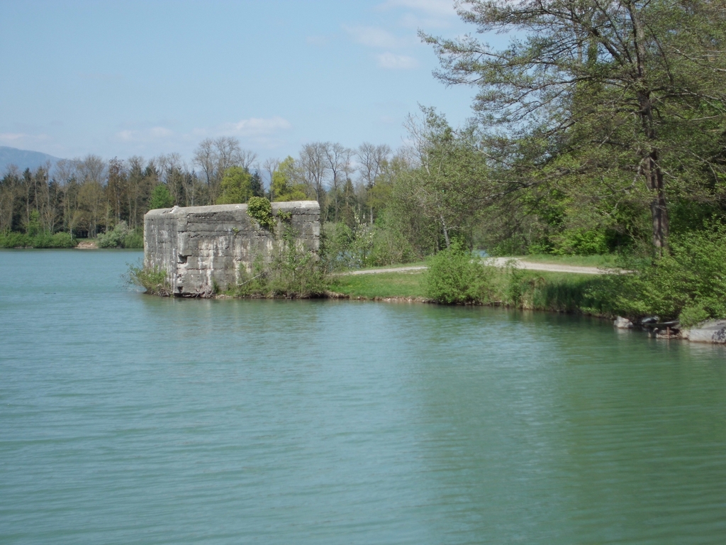
Departing from Burnhaupt-le-Bas, this route goes around many German bunkers dating from the First World War. It is also possible to admire mills, a wash house, as well as the Hagendorn spring.

Already more than 200,000 users!
Uphill
67m
Highest point
307m
Downhill
67m
Lowest point
272m
Route type
Loop
Download the map on your smartphone to save battery and rest assured to always keep access to the route, even without signal.
Includes IGN France and Swisstopo.
I indicate whether dogs are allowed or prohibited on this trail
All year
3 ratings
Also enjoy:

Already more than 200,000 users!