Uphill
31m
Length
13km
Duration
3h30min
Elev gain
31m
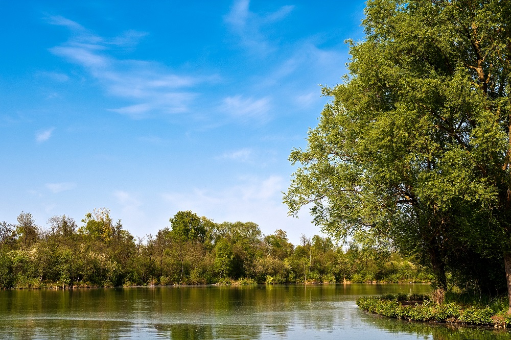
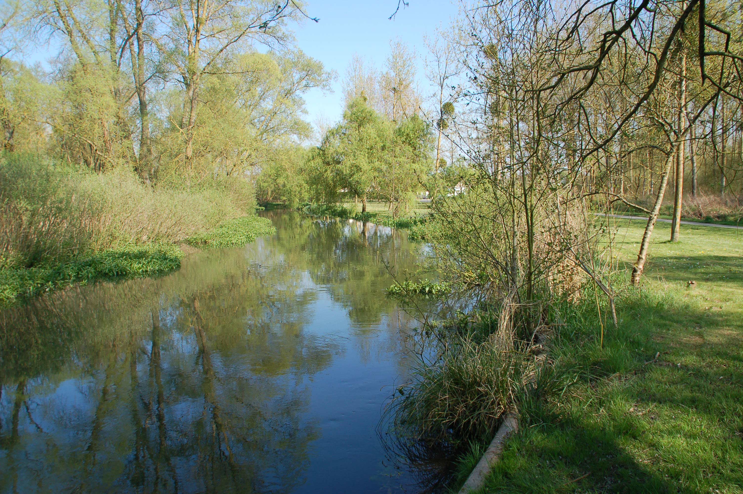
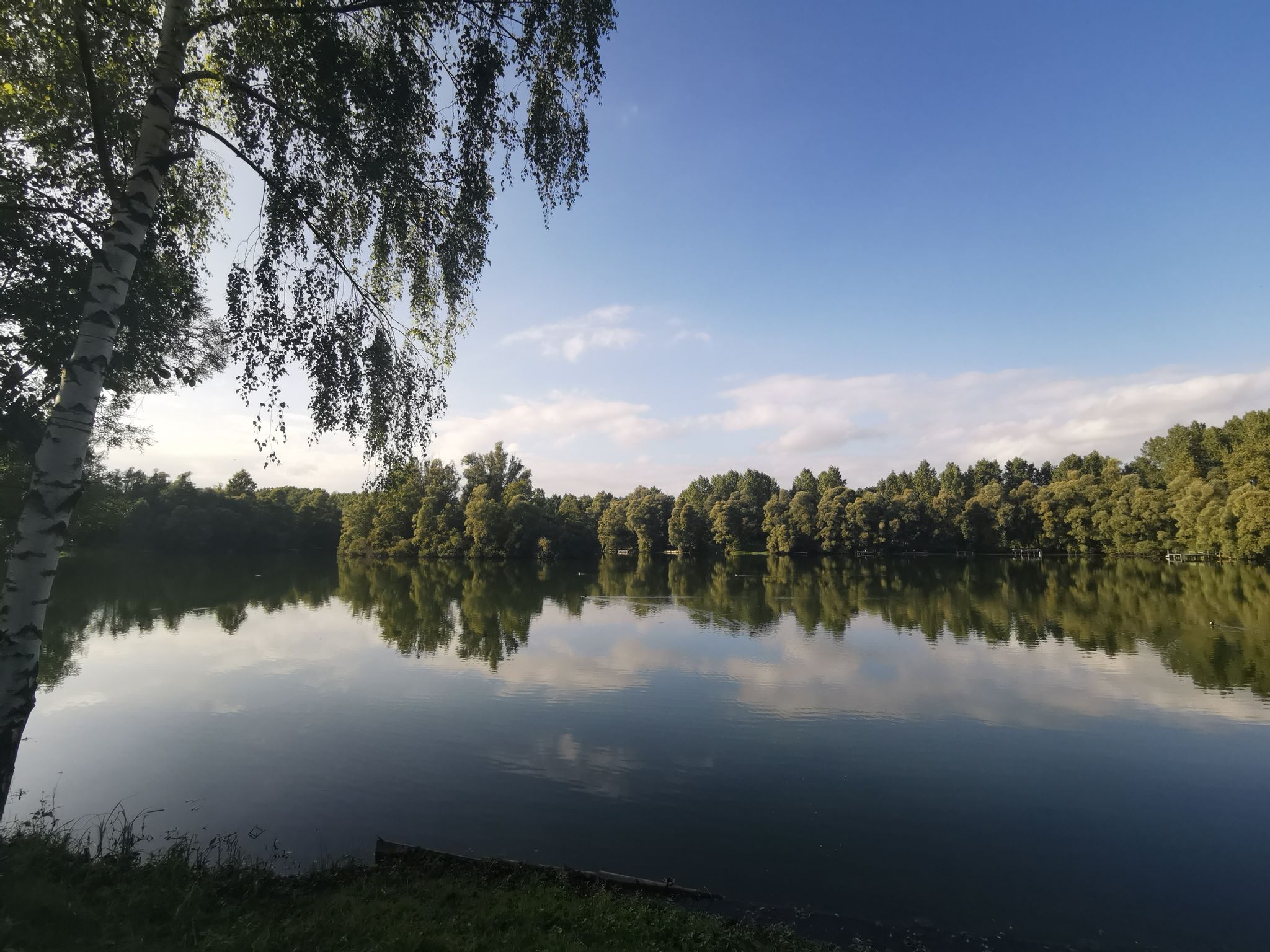
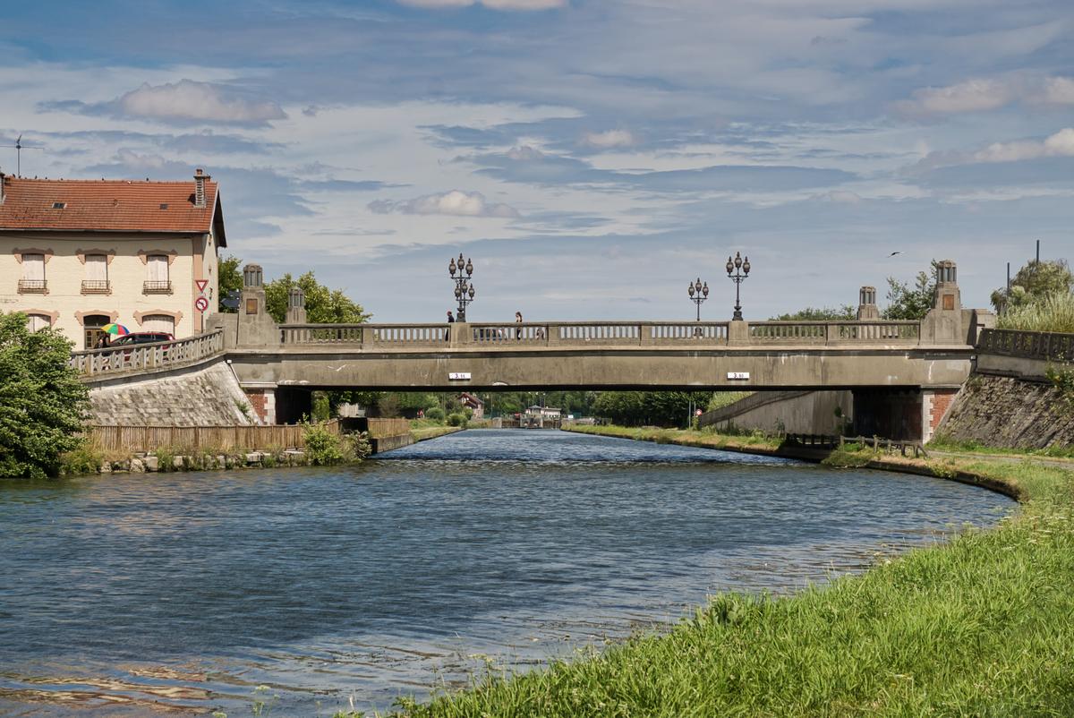
Nice little walk between the towns of Saint-Quentin and Fontaine-lès-Clercs. This round trip runs along the charming Saint-Quentin canal and passes through Dallon.

Already more than 200,000 users!
Uphill
31m
Highest point
91m
Downhill
31m
Lowest point
60m
Route type
There and back
Download the map on your smartphone to save battery and rest assured to always keep access to the route, even without signal.
Includes IGN France and Swisstopo.
I indicate whether dogs are allowed or prohibited on this trail
All year
0 ratings
Also enjoy:

Already more than 200,000 users!