Uphill
78m
Length
6km
Duration
1h30min
Elev gain
78m
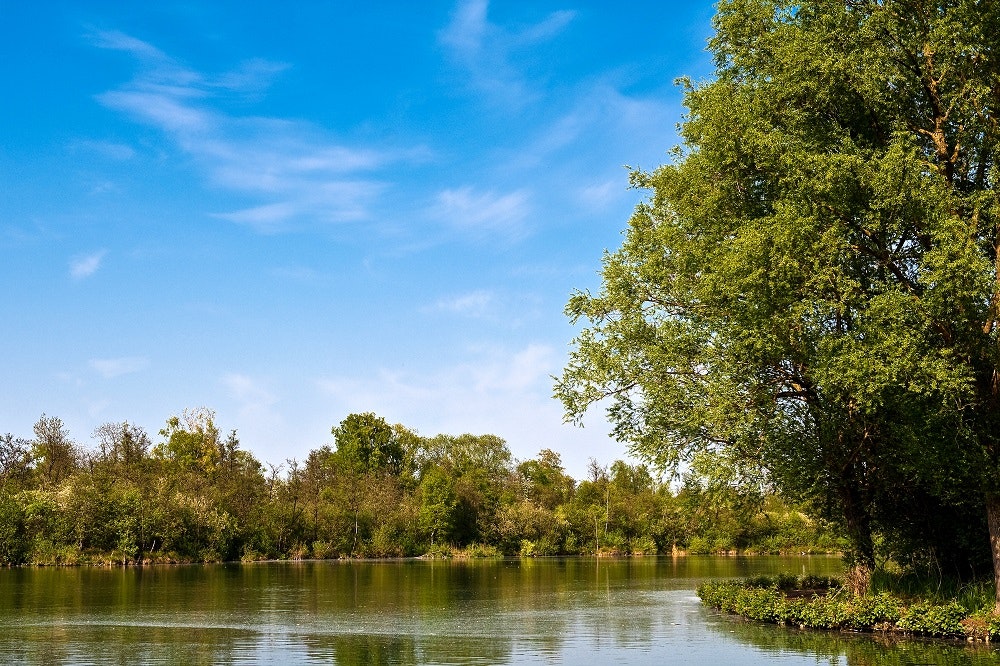
Located in the heart of the city, this walk crosses the Marais d'Isle Nature Reserve in Saint-Quentin. The route makes a turn in this beautiful natural environment, constituting a migratory stage and a breeding area for many birds.

Already more than 200,000 users!
Uphill
78m
Highest point
90m
Downhill
78m
Lowest point
43m
Route type
Loop
Download the map on your smartphone to save battery and rest assured to always keep access to the route, even without signal.
Includes IGN France and Swisstopo.
I indicate whether dogs are allowed or prohibited on this trail
All year
0 ratings
Also enjoy:

Already more than 200,000 users!


