Uphill
71m
Length
9km
Duration
2h30min
Elev gain
71m
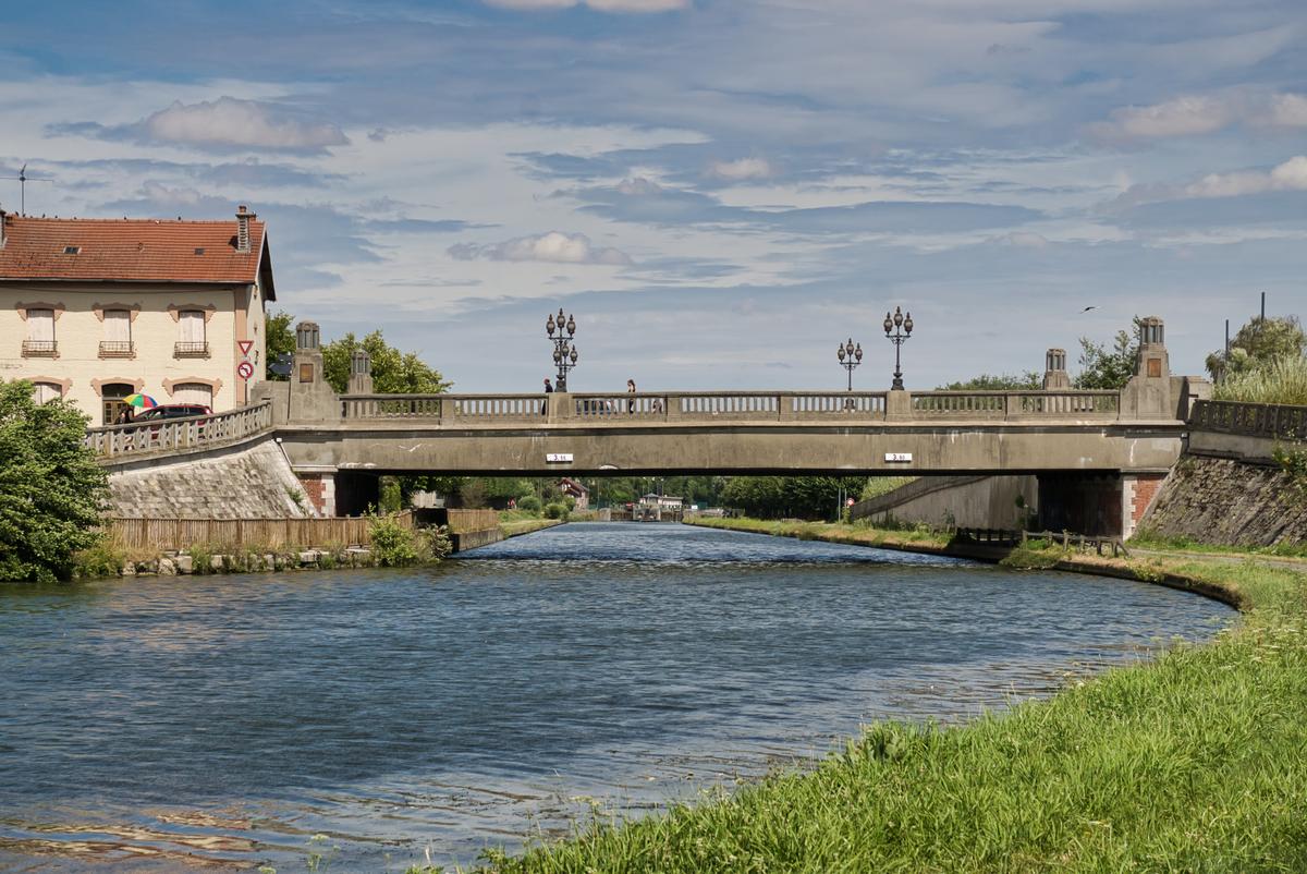
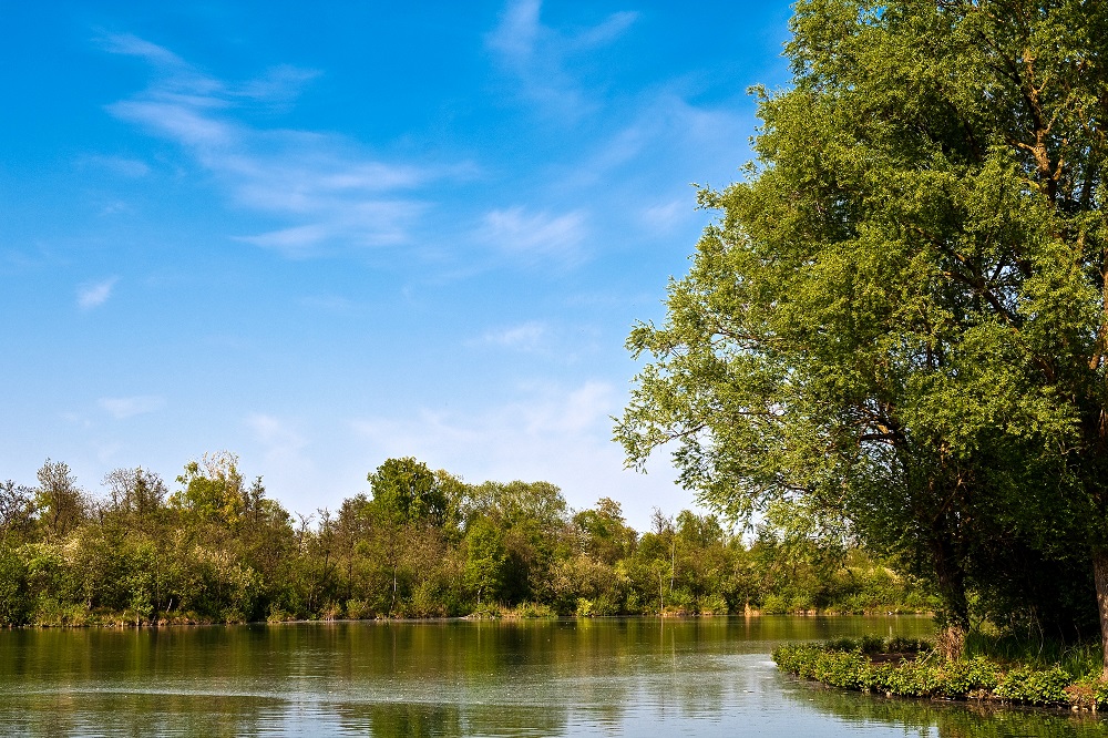
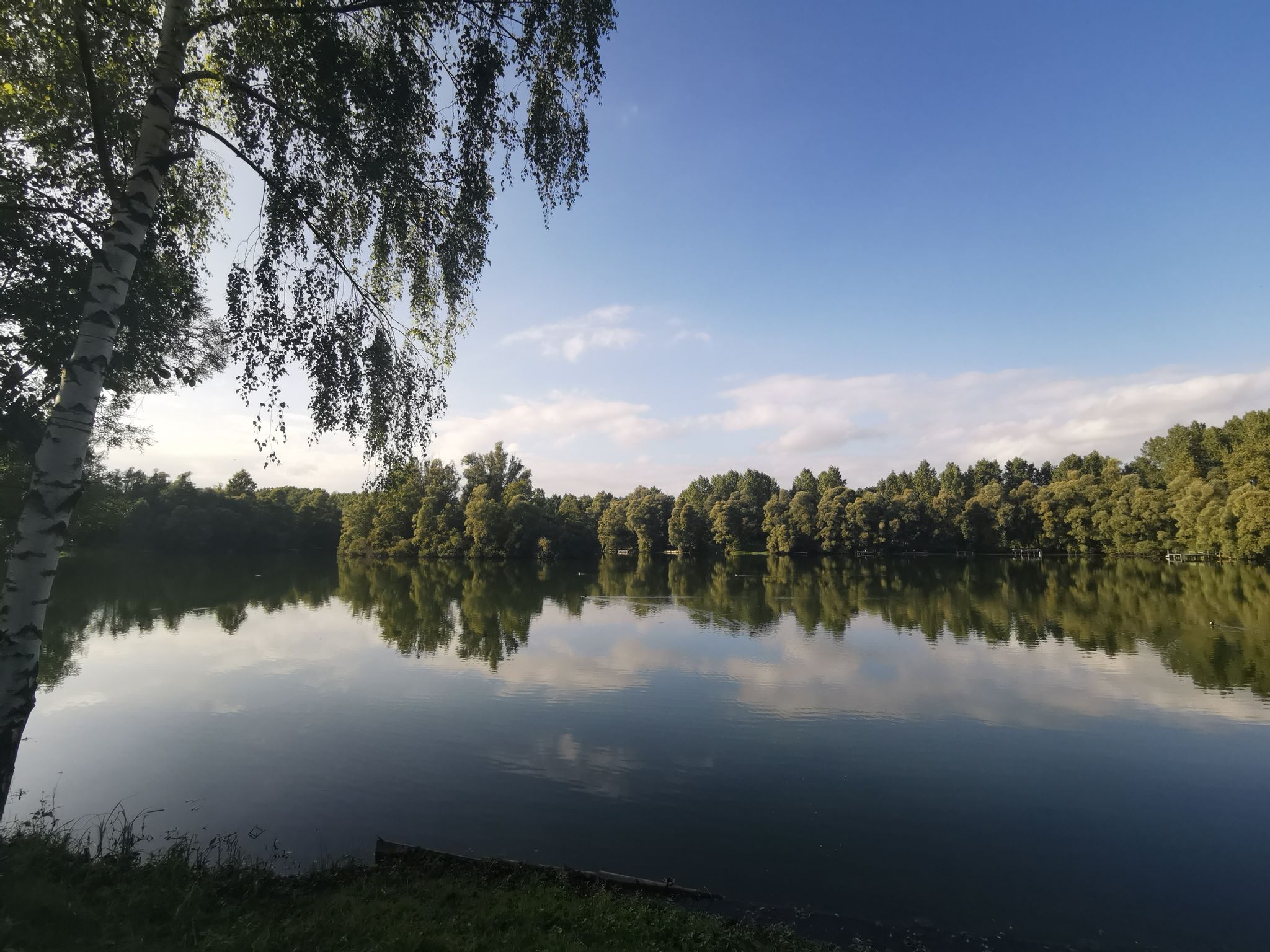
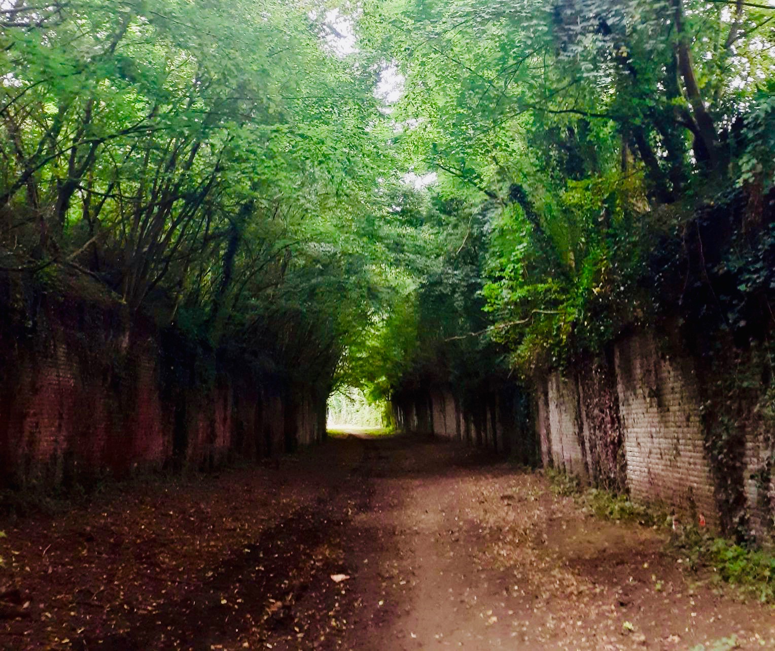
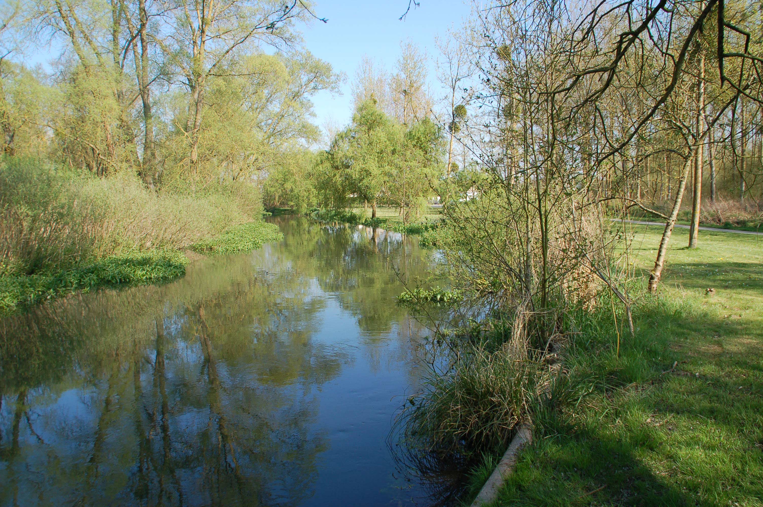
Departing from Seraucourt-le-Grand, this walk begins with ponds located in the undergrowth. The route then loops through Castres and Fontaine-lès-Clercs, then runs along the Saint-Quentin canal to return to the starting point.

Already more than 200,000 users!
Uphill
71m
Highest point
88m
Downhill
71m
Lowest point
57m
Route type
Loop
Download the map on your smartphone to save battery and rest assured to always keep access to the route, even without signal.
Includes IGN France and Swisstopo.
I indicate whether dogs are allowed or prohibited on this trail
All year
0 ratings
Also enjoy:

Already more than 200,000 users!