Uphill
72m
Length
8km
Duration
2h
Elev gain
72m
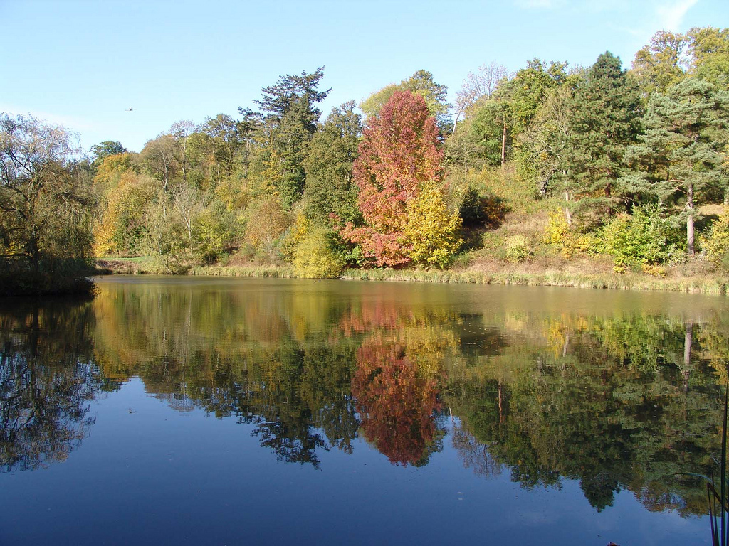
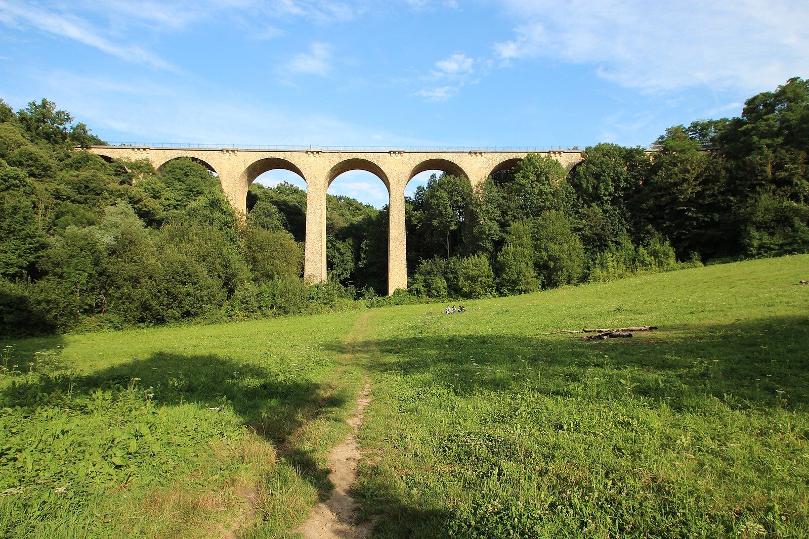
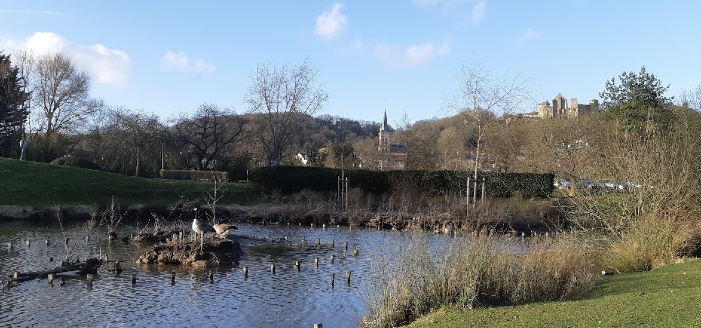
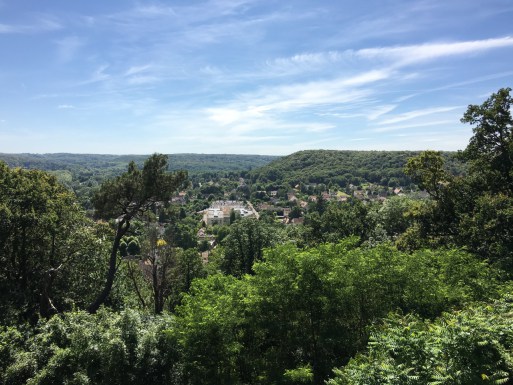
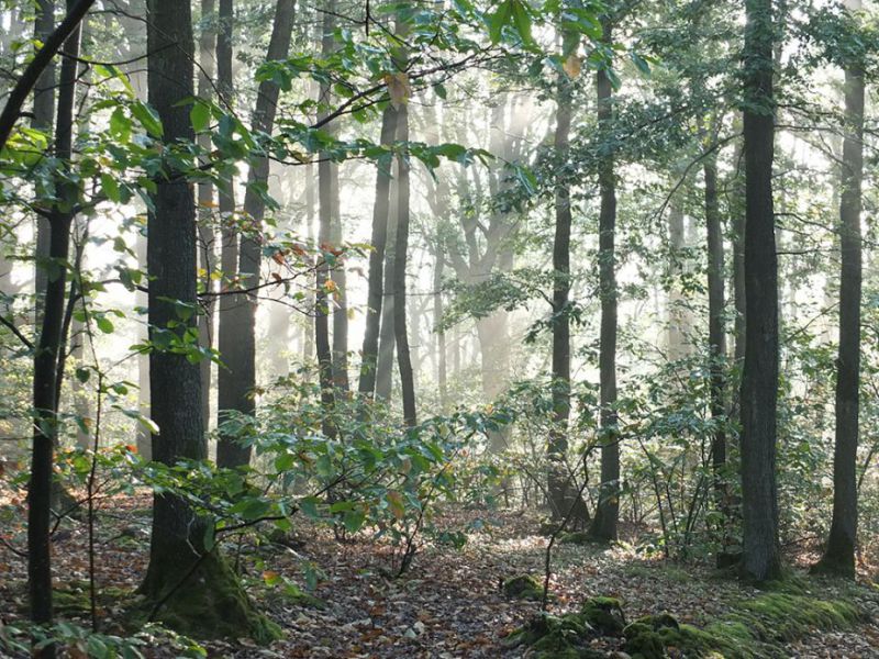
Varied hike between forests, river, fields and hamlets. The route crosses the forest of Tête Ronde, the woods of Saint-Aubin, and runs along the Mérantaise river.

Already more than 200,000 users!
Uphill
72m
Highest point
163m
Downhill
72m
Lowest point
83m
Route type
Loop
Download the map on your smartphone to save battery and rest assured to always keep access to the route, even without signal.
Includes IGN France and Swisstopo.
I indicate whether dogs are allowed or prohibited on this trail
All year
3 ratings
Also enjoy:

Already more than 200,000 users!