Uphill
242m
Length
11km
Duration
3h30min
Elev gain
242m
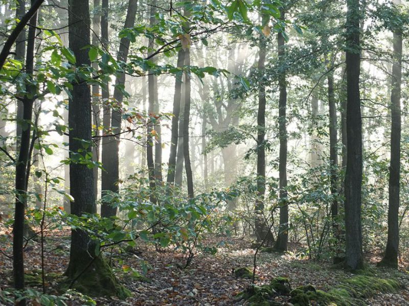
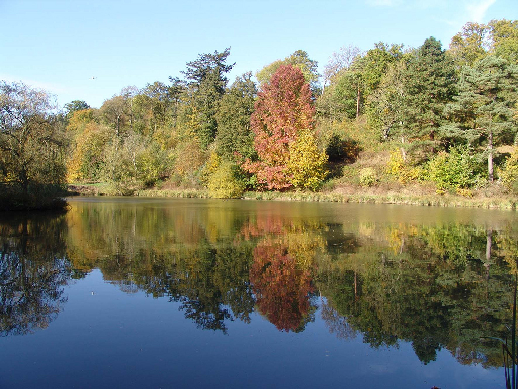
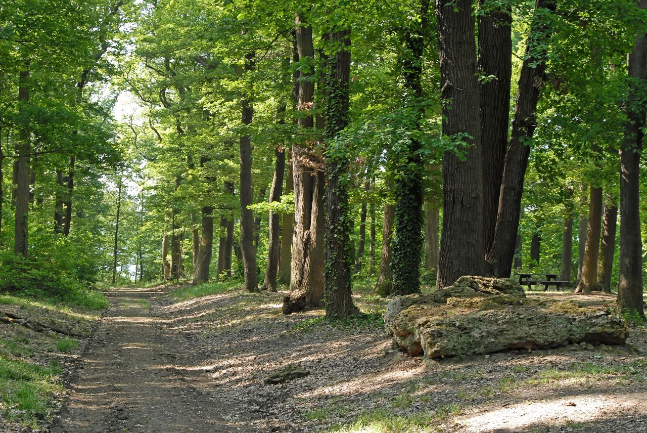
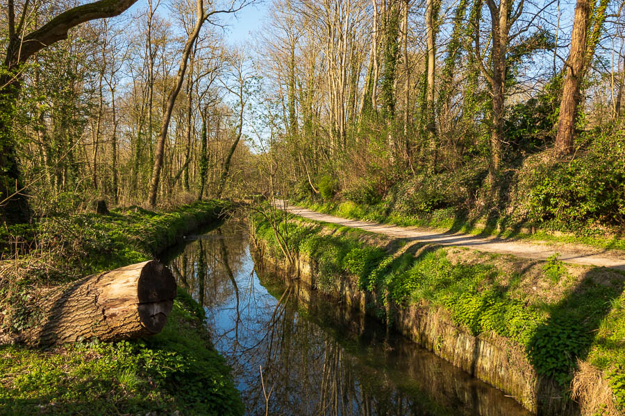
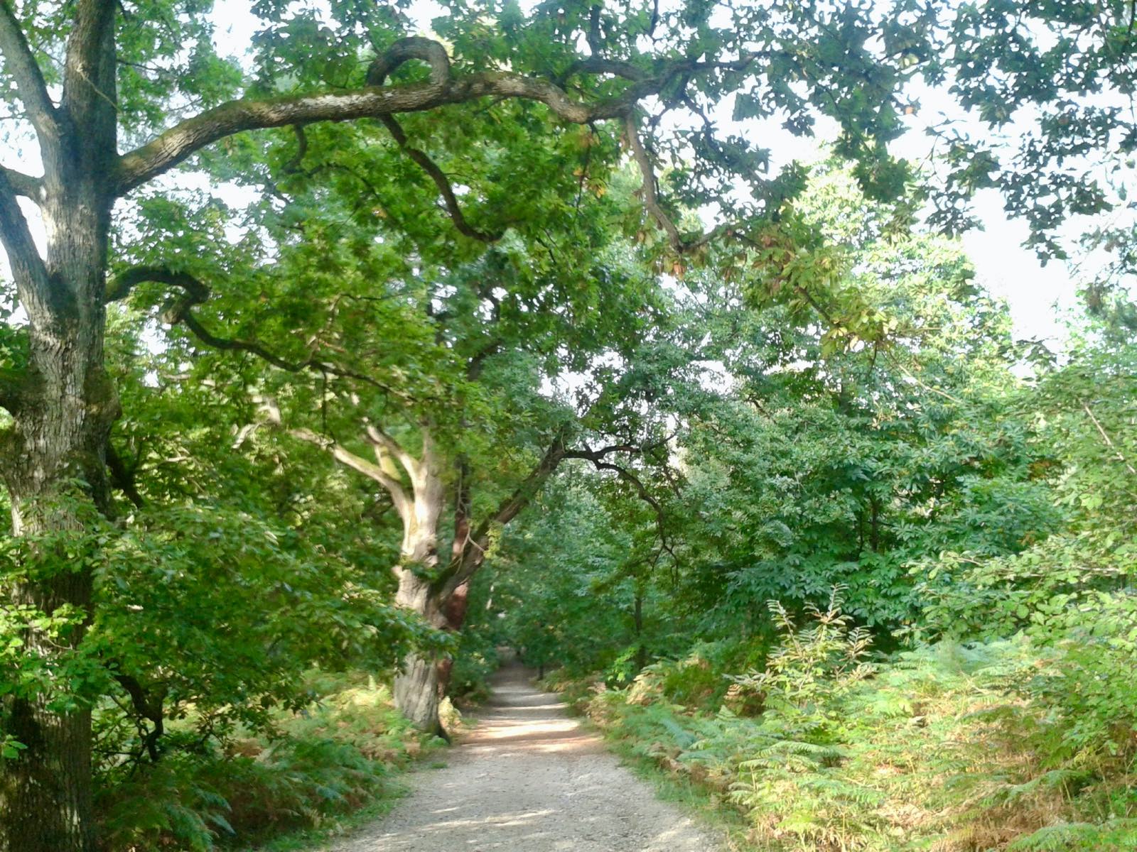
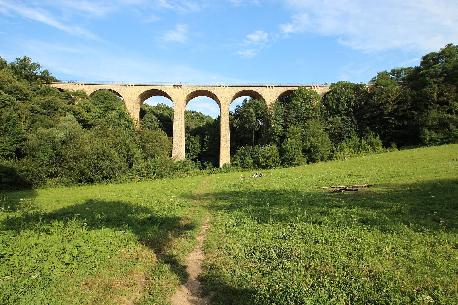
Departing from Bures-sur-Yvette station, this circuit allows you to take an old railway line and in particular the Fauvettes viaduct, which offers a nice view of the surroundings from the top of its 34 meters. The trail also crosses the forest of Gif-sur-Yvette.

Already more than 200,000 users!
Uphill
242m
Highest point
182m
Downhill
242m
Lowest point
46m
Route type
Loop
Download the map on your smartphone to save battery and rest assured to always keep access to the route, even without signal.
Includes IGN France and Swisstopo.
I indicate whether dogs are allowed or prohibited on this trail
All year
5 ratings
Also enjoy:

Already more than 200,000 users!