Uphill
58m
Length
5km
Duration
1h30min
Elev gain
58m
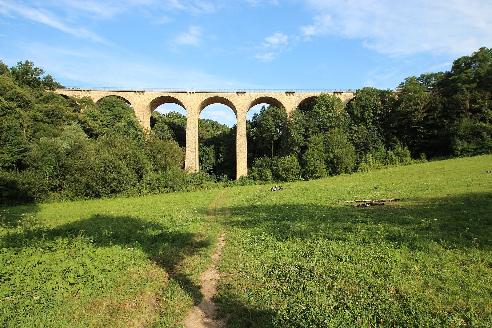
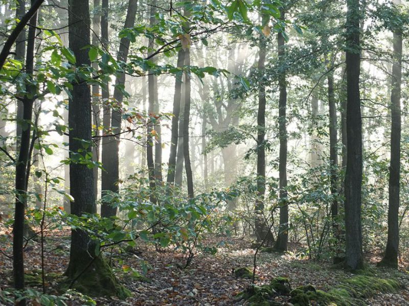
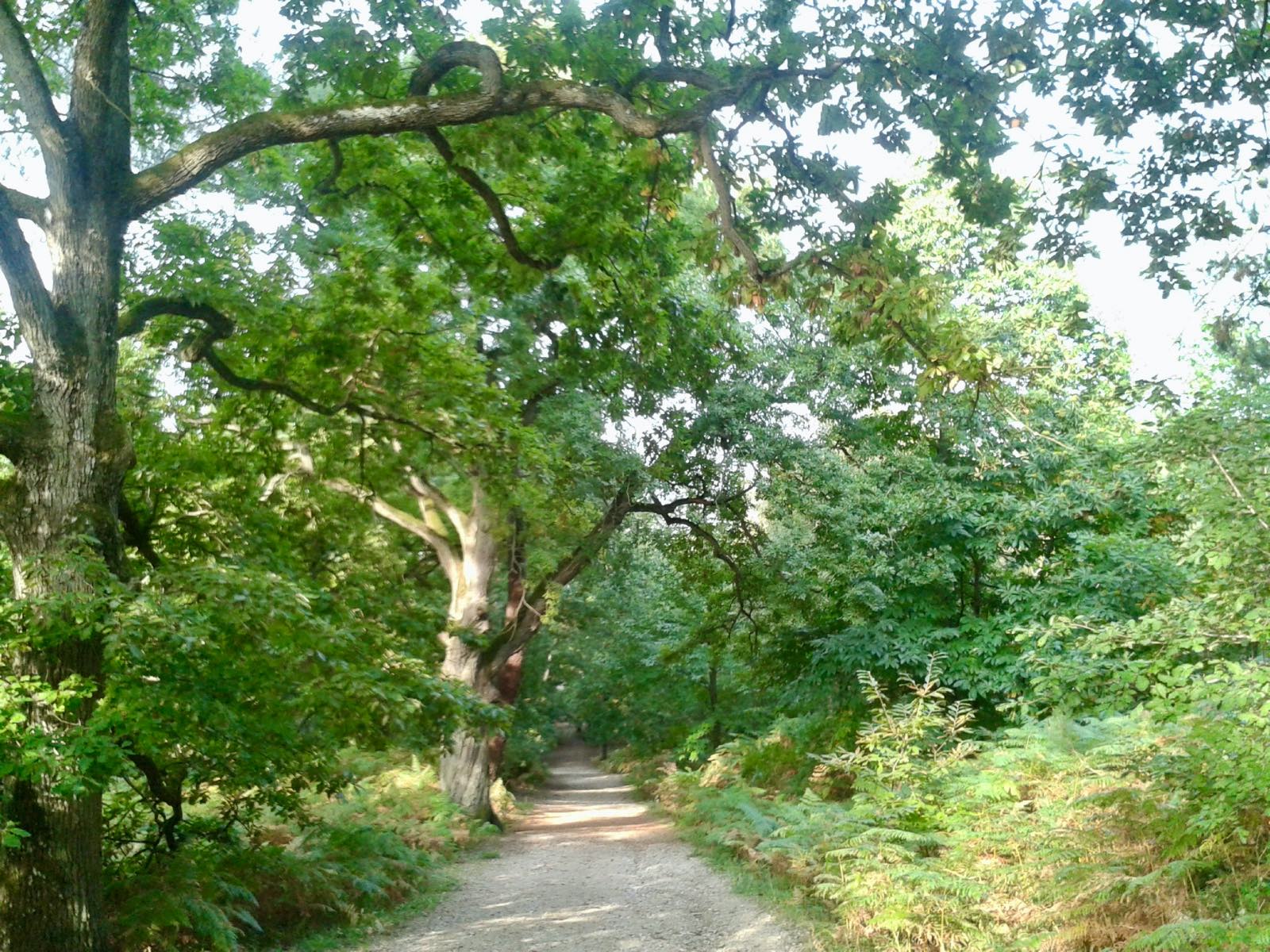
Short loop in the forest of Roche Turpin, allowing to discover large boulders, as well as picnic and play areas for children.

Already more than 200,000 users!
Uphill
58m
Highest point
172m
Downhill
58m
Lowest point
114m
Route type
Loop
Download the map on your smartphone to save battery and rest assured to always keep access to the route, even without signal.
Includes IGN France and Swisstopo.
I indicate whether dogs are allowed or prohibited on this trail
All year
1 rating
Also enjoy:

Already more than 200,000 users!