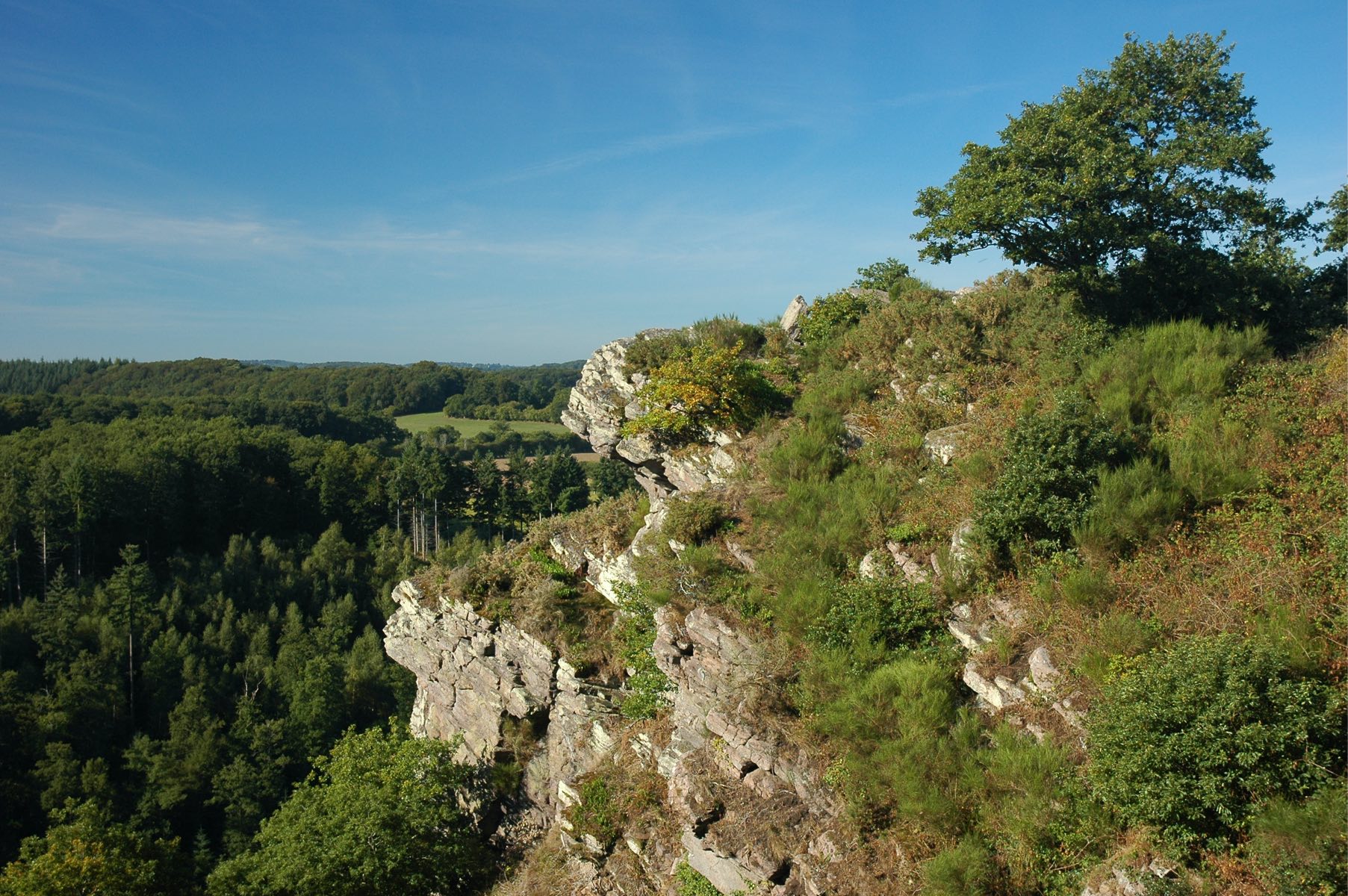
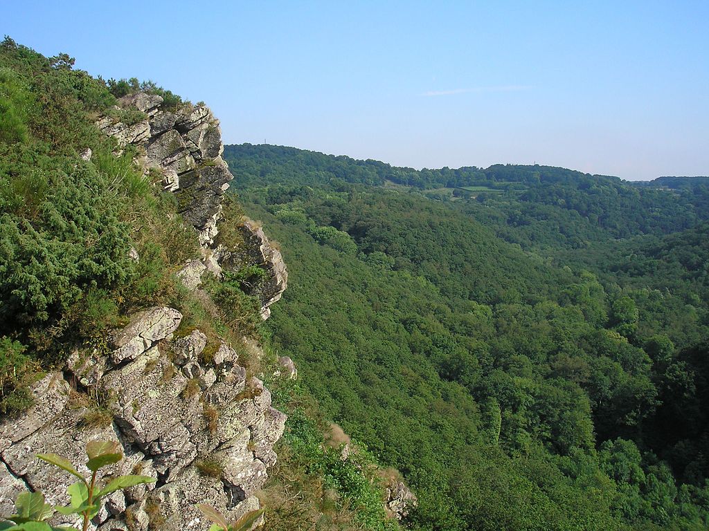
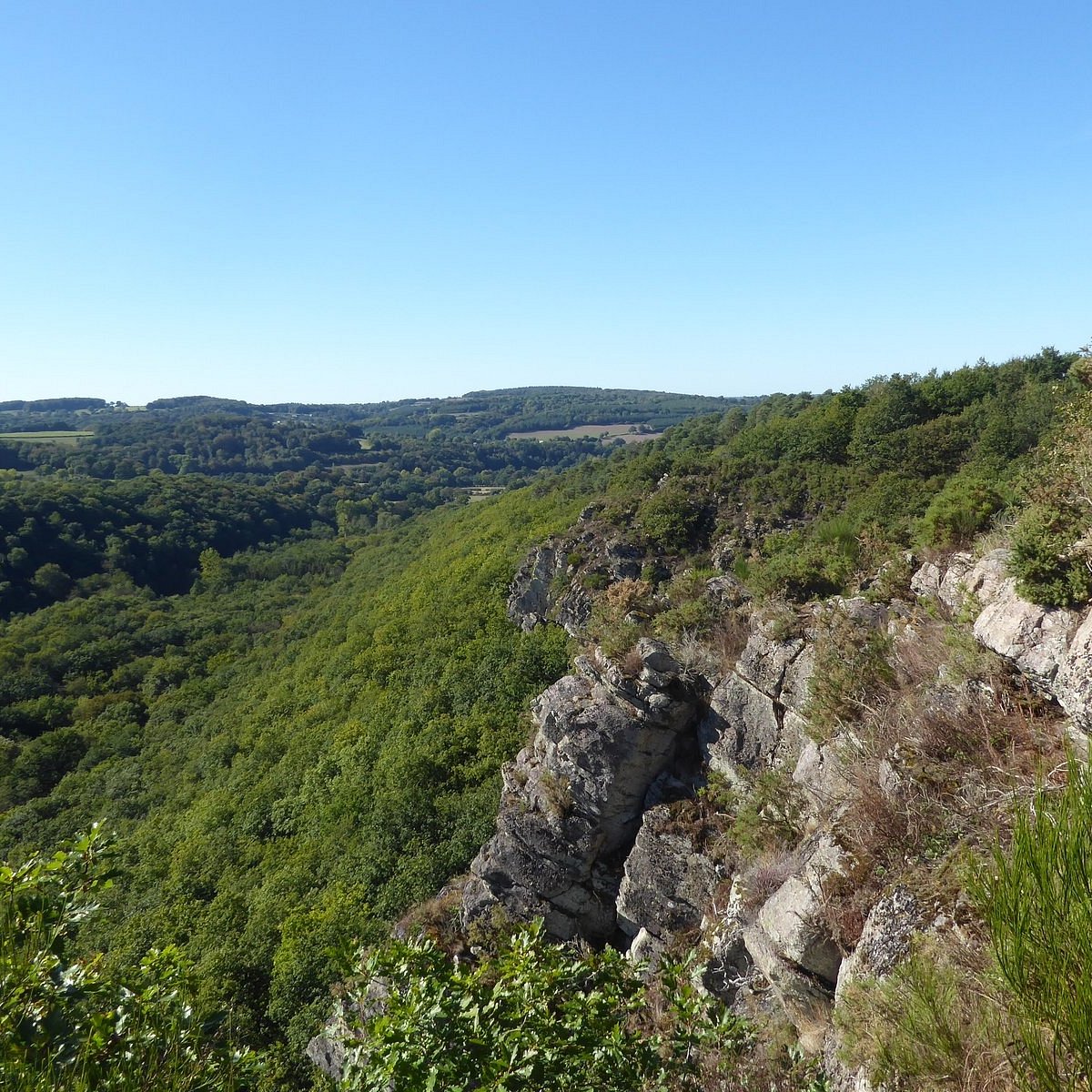
Uphill
135m
Length
10km
Duration
3h
Elev gain
135m
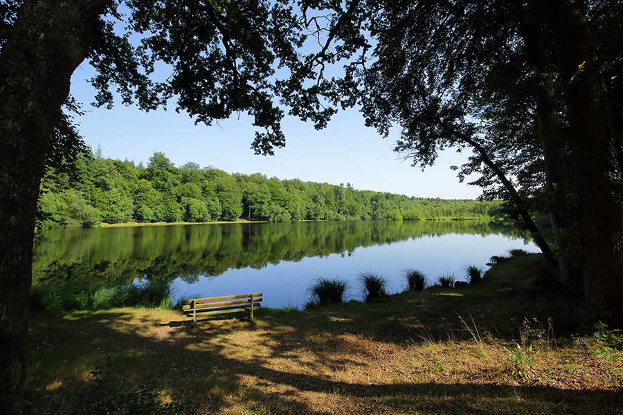
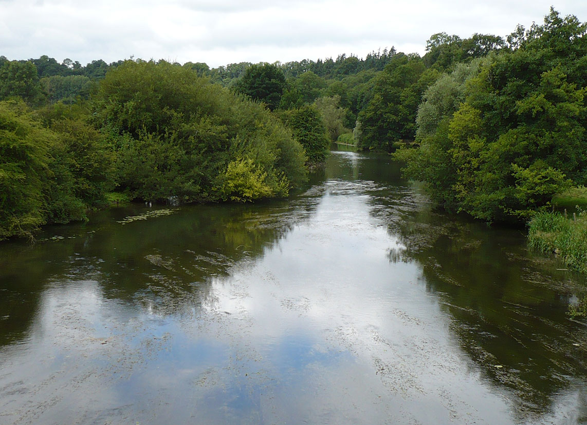
Looking for a stroll along the water in the area? There it is. From La Courbe, this route makes a nice loop along the Orne in a calm and peaceful natural environment.

Already more than 200,000 users!
Uphill
135m
Highest point
203m
Downhill
135m
Lowest point
131m
Route type
Loop
Download the map on your smartphone to save battery and rest assured to always keep access to the route, even without signal.
Includes IGN France and Swisstopo.
I indicate whether dogs are allowed or prohibited on this trail
All year
0 ratings
Also enjoy:

Already more than 200,000 users!