Uphill
83m
Length
5km
Duration
1h30min
Elev gain
83m
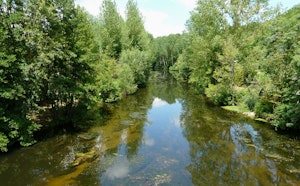
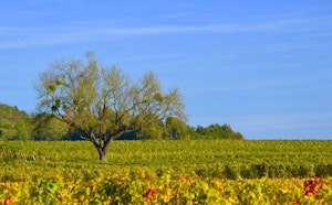
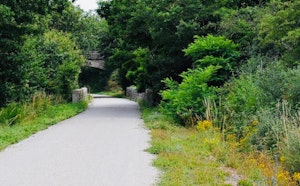
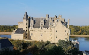
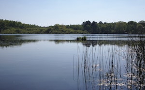
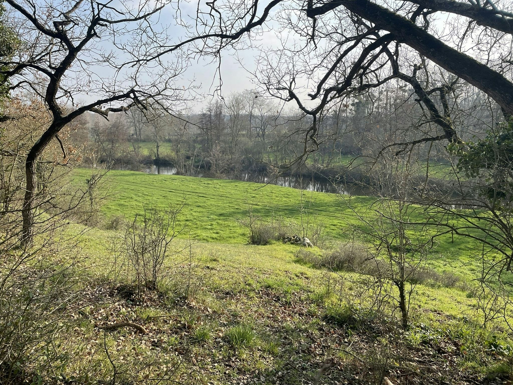
Located near Saint-Varent, this walk begins precisely at Chillou. The route makes a loop in beautiful landscapes typical of Thouarsais and offers the possibility of observing different geological typologies.

Already more than 200,000 users!
Uphill
83m
Highest point
105m
Downhill
83m
Lowest point
63m
Route type
Loop
Download the map on your smartphone to save battery and rest assured to always keep access to the route, even without signal.
Includes IGN France and Swisstopo.
I indicate whether dogs are allowed or prohibited on this trail
All year
1 rating
Also enjoy:

Already more than 200,000 users!