Uphill
223m
France > Nouvelle-Aquitaine > Deux-Sèvres
Length
10km
Duration
3h
Elev gain
223m
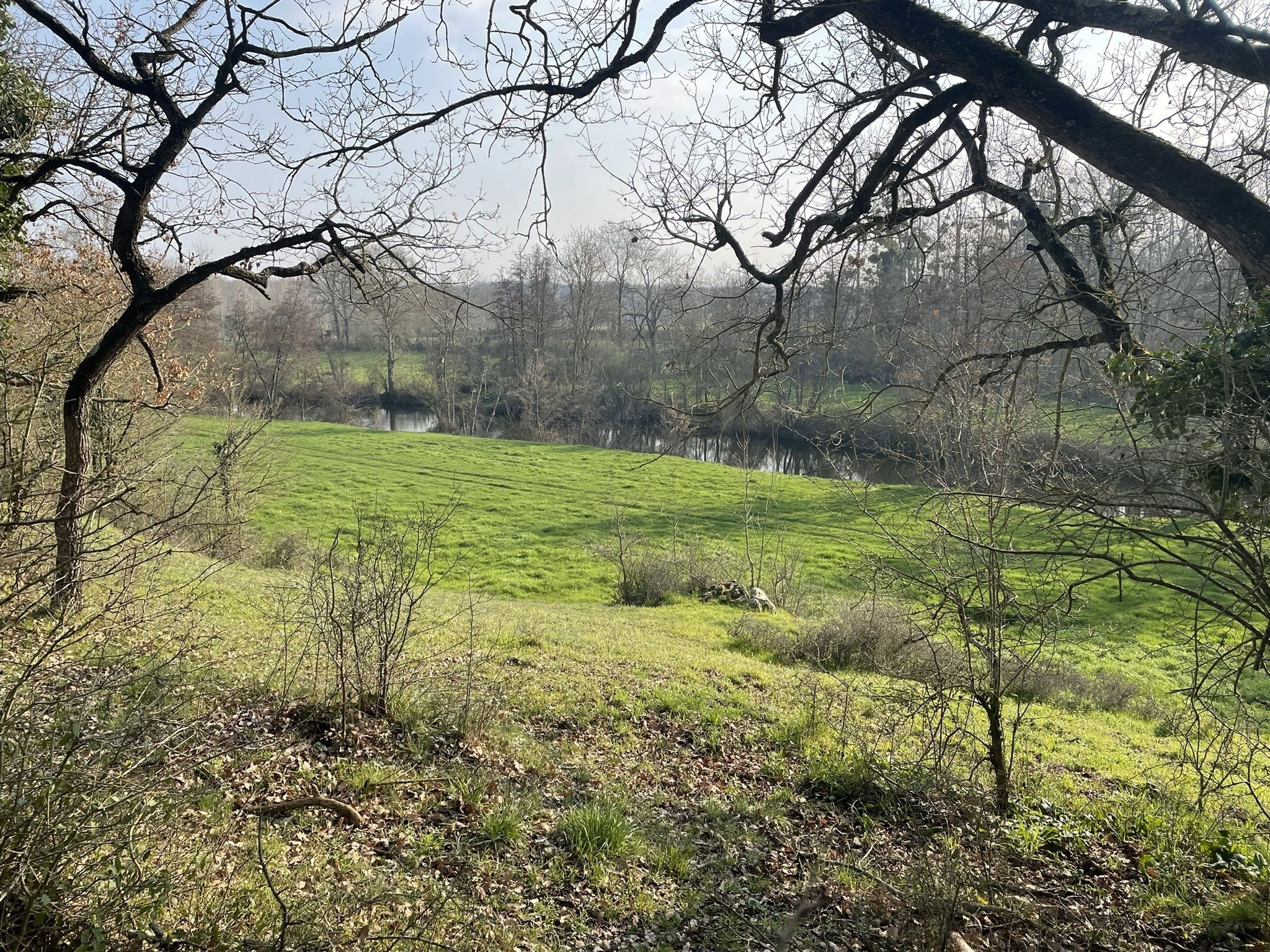
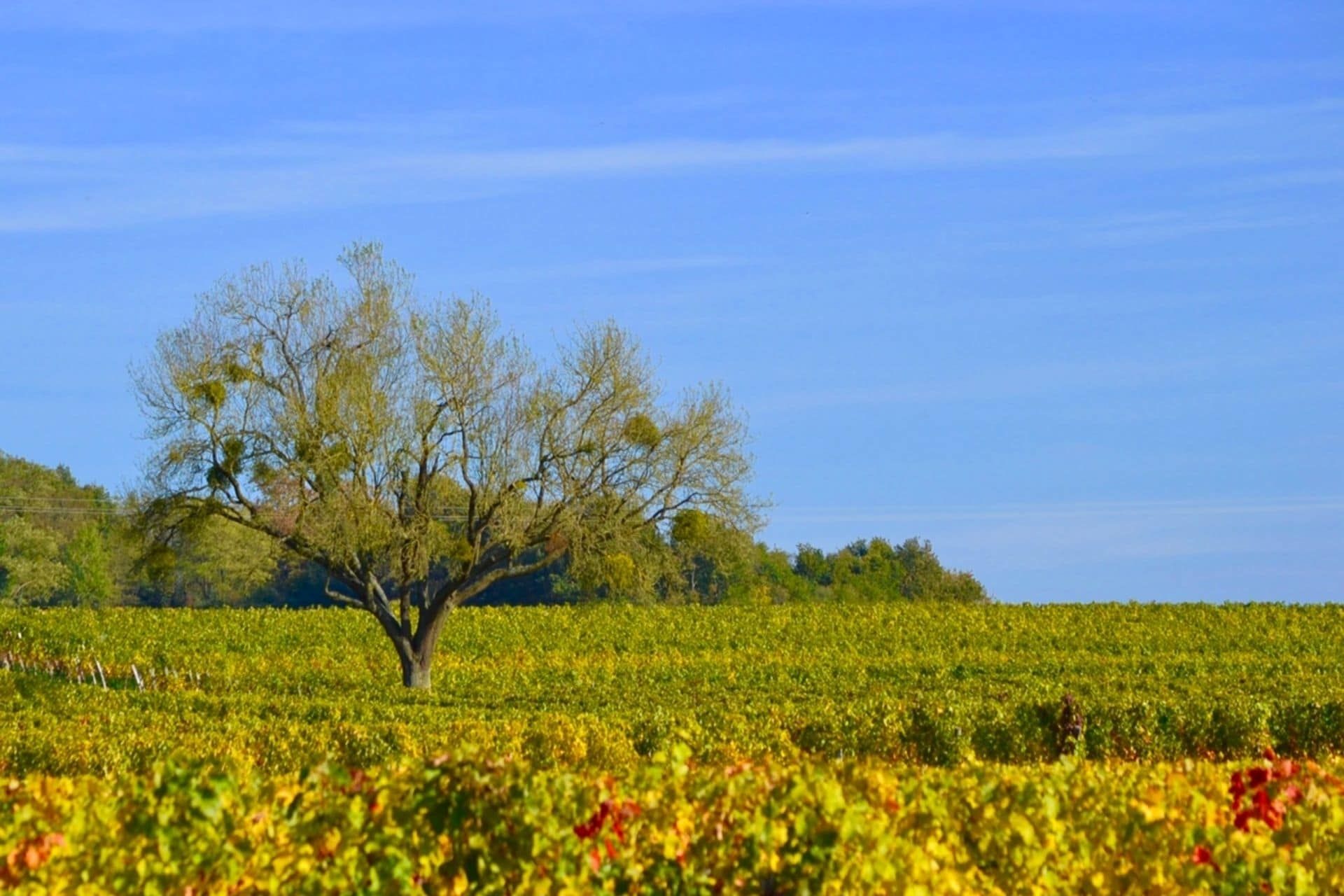
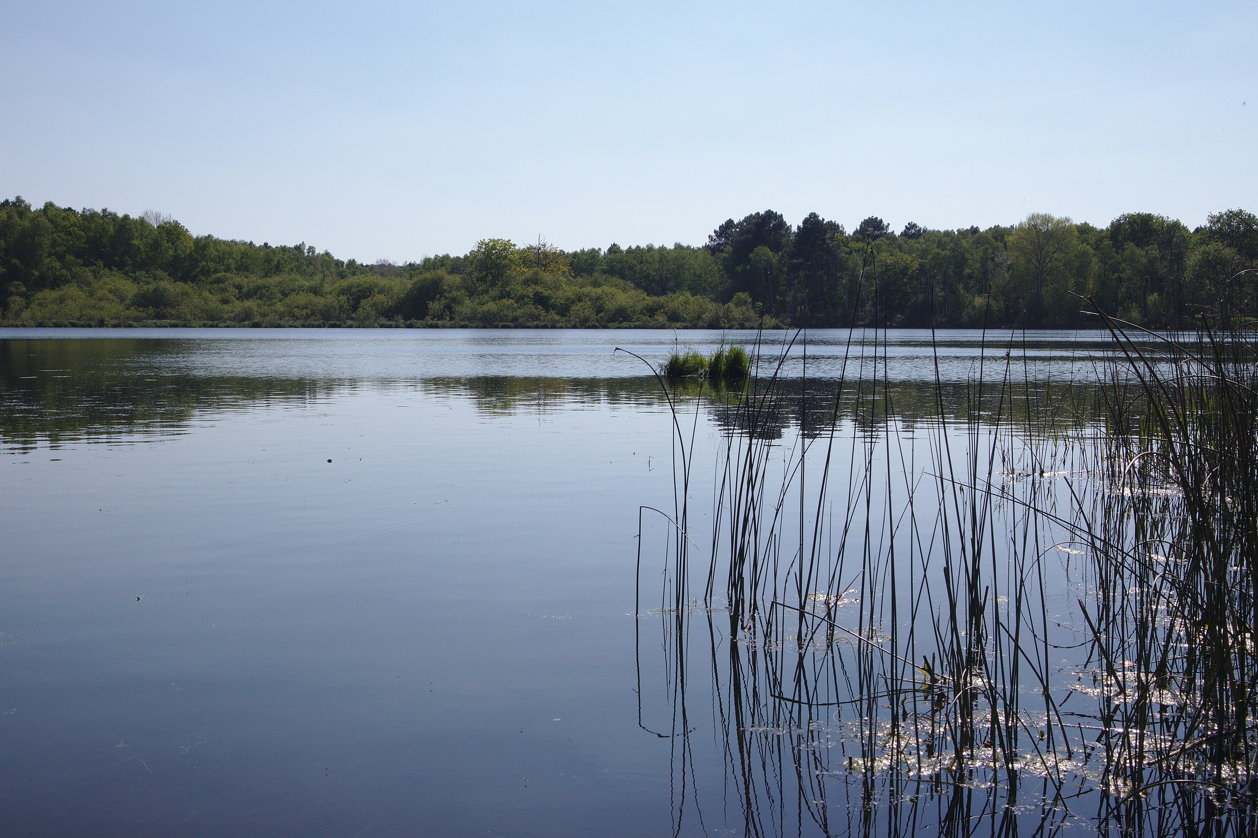
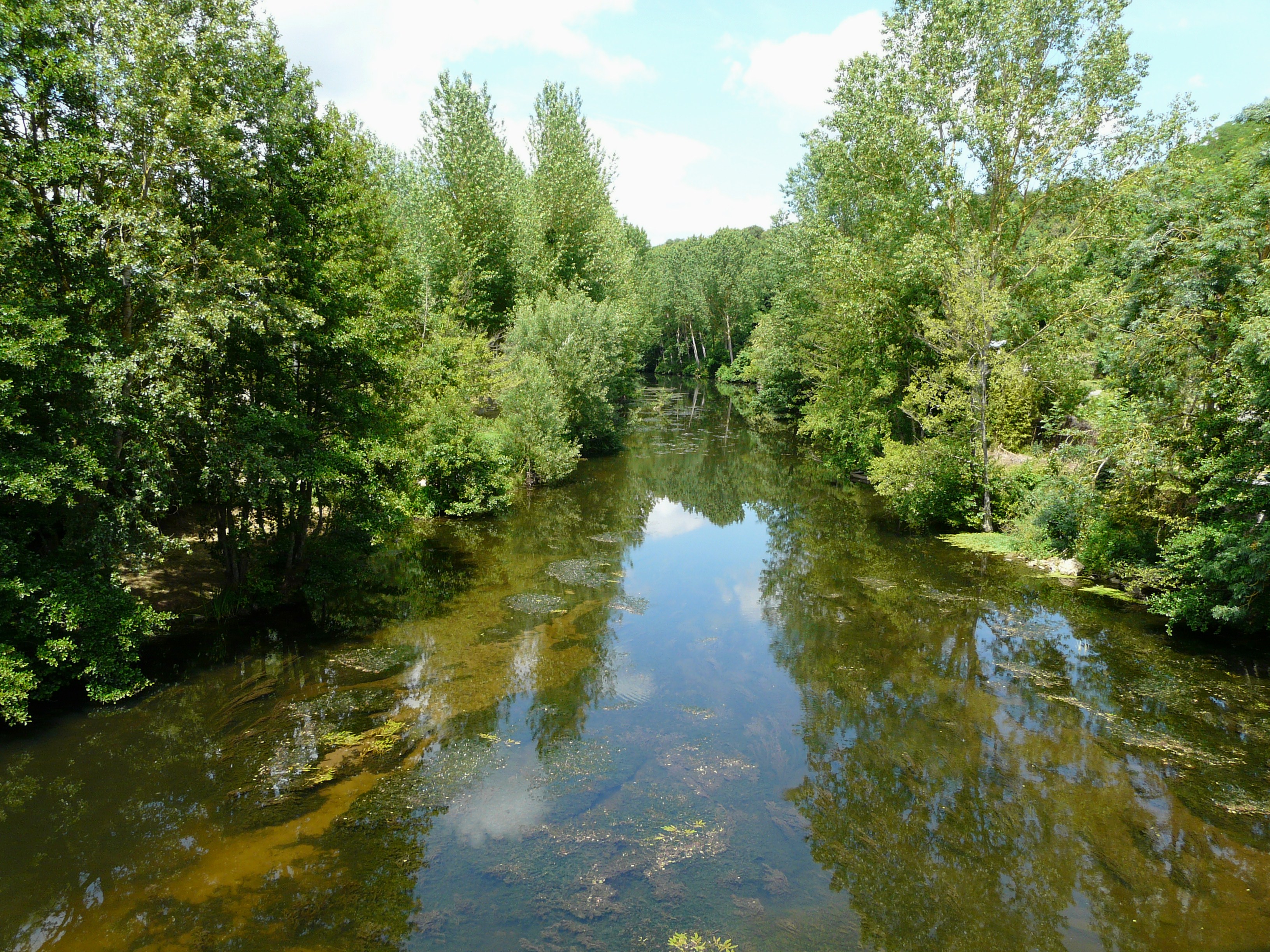
This route begins in Saint-Généroux, then joins Ligaine along the Thouet. The return is on the other side of the river.
A nice walk between paths and small roads.

Already more than 200,000 users!
Uphill
223m
Highest point
105m
Downhill
223m
Lowest point
0m
Route type
Loop
Download the map on your smartphone to save battery and rest assured to always keep access to the route, even without signal.
Includes IGN France and Swisstopo.
I indicate whether dogs are allowed or prohibited on this trail
All year
0 ratings
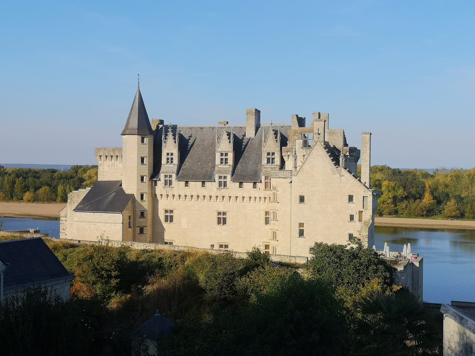
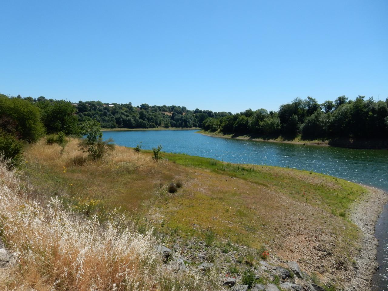
Also enjoy:

Already more than 200,000 users!