Uphill
63m
Length
4km
Duration
1h30min
Elev gain
63m
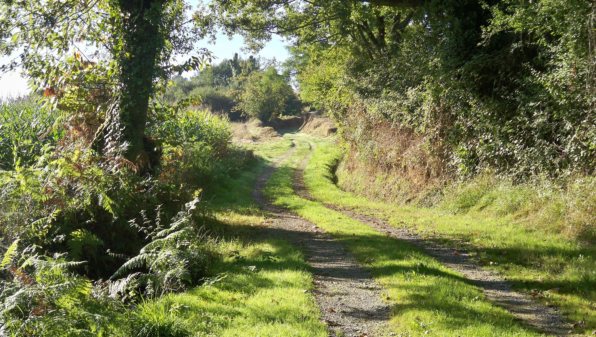
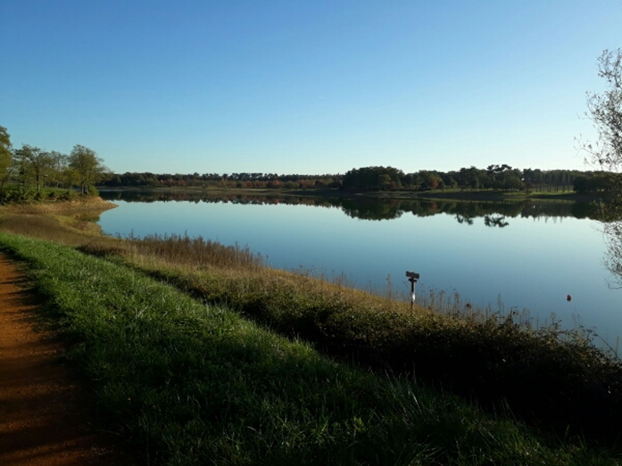
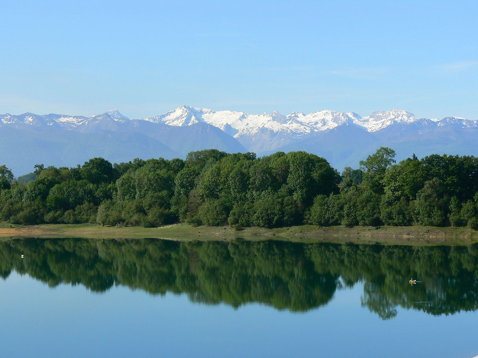
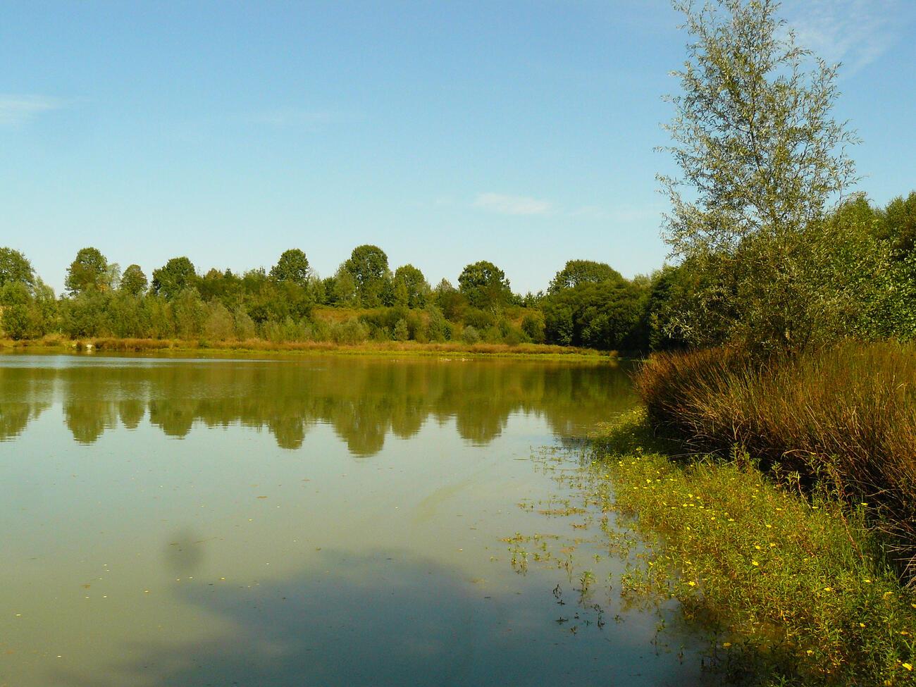
Here is an easy and pleasant walk, ideal for a family outing. The trail goes completely around the lake.
Espacially nice at sunrise and sunset to obtain beautiful reflections on the water.

Already more than 200,000 users!
Uphill
63m
Highest point
165m
Downhill
63m
Lowest point
116m
Route type
Loop
Download the map on your smartphone to save battery and rest assured to always keep access to the route, even without signal.
Includes IGN France and Swisstopo.
I indicate whether dogs are allowed or prohibited on this trail
All year
0 ratings
Also enjoy:

Already more than 200,000 users!