Uphill
546m
Length
13km
Duration
4h30min
Elev gain
546m
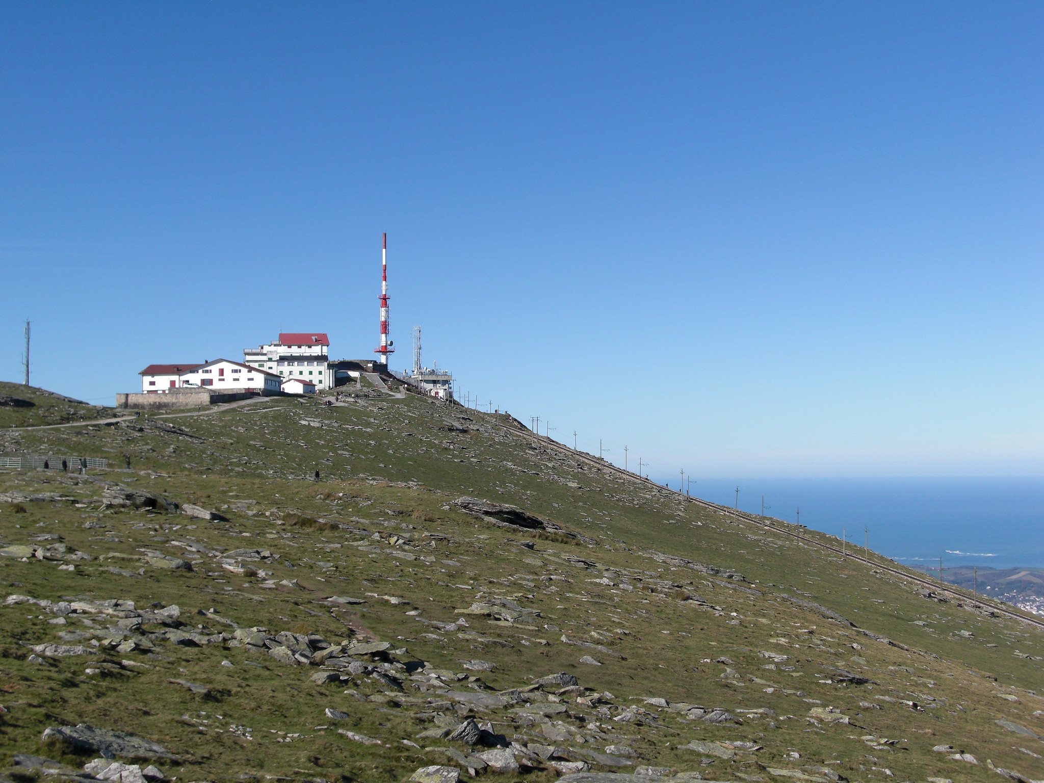
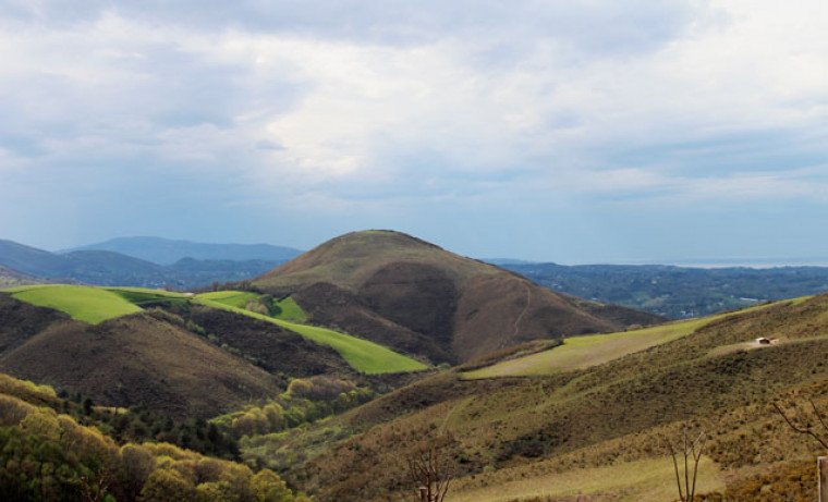
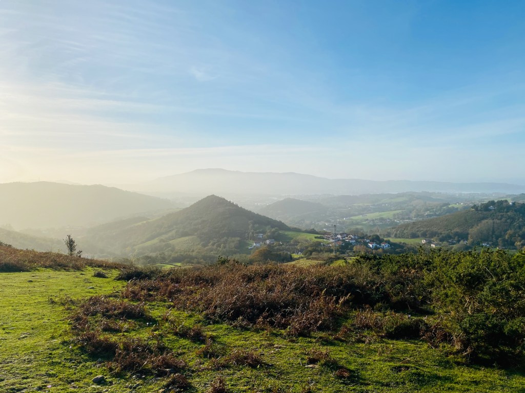
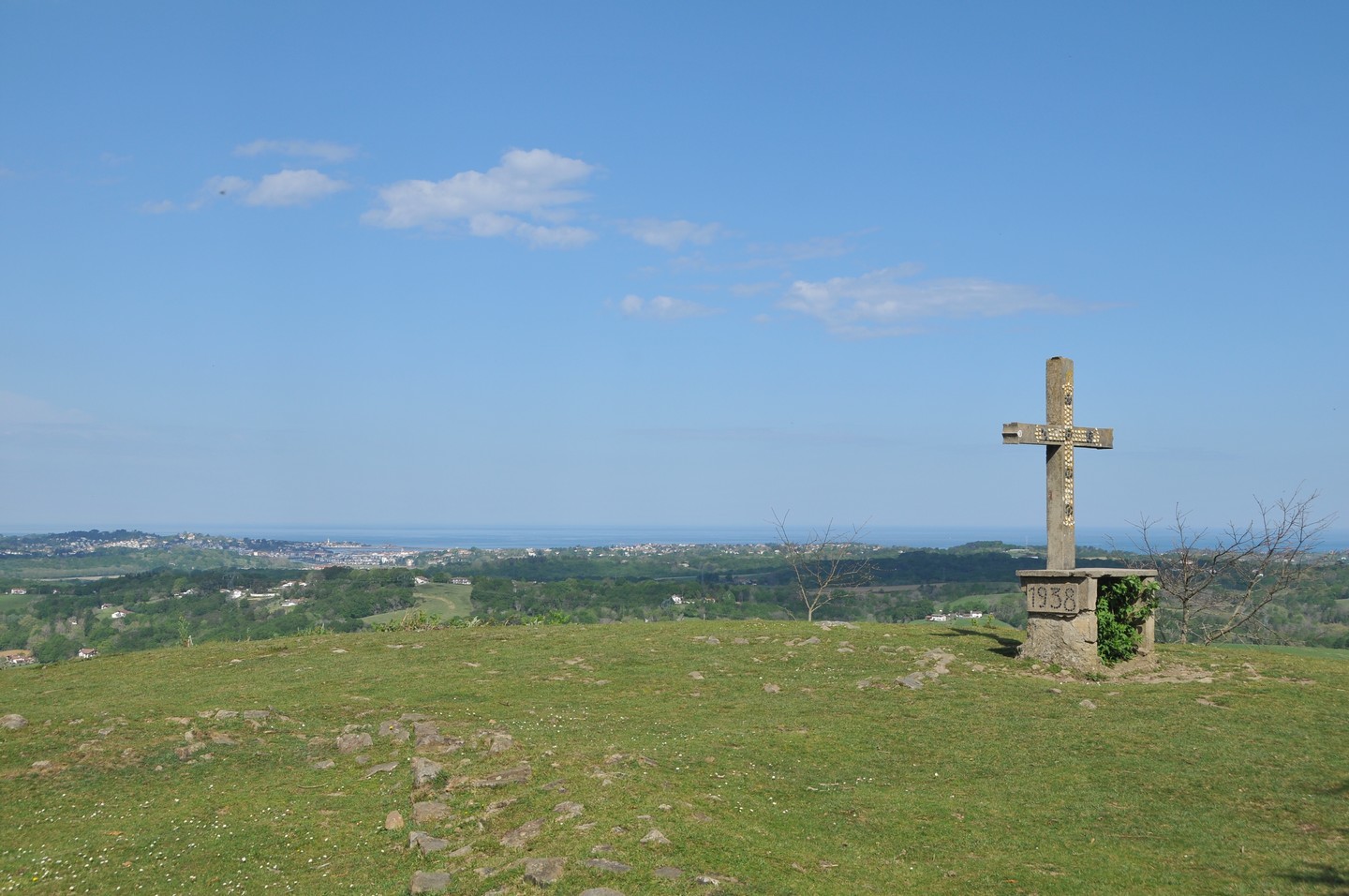
Starting from the Lizarrieta pass, this hike offers a very nice view over the Basque Country, up to the Atlantic Ocean.

Already more than 200,000 users!
Uphill
546m
Highest point
675m
Downhill
546m
Lowest point
385m
Route type
Loop
Download the map on your smartphone to save battery and rest assured to always keep access to the route, even without signal.
Includes IGN France and Swisstopo.
I indicate whether dogs are allowed or prohibited on this trail
All year
1 rating
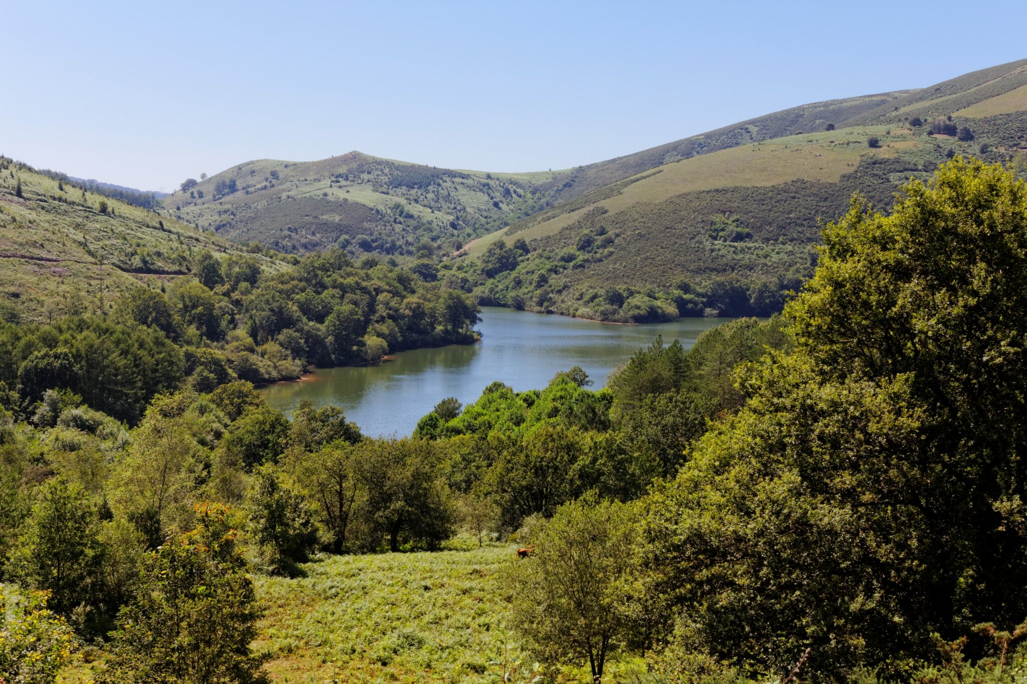
Also enjoy:

Already more than 200,000 users!