Uphill
591m
France > Occitanie > Aveyron > Grands Causses Regional Natural Park
Length
13km
Duration
5h
Elev gain
591m
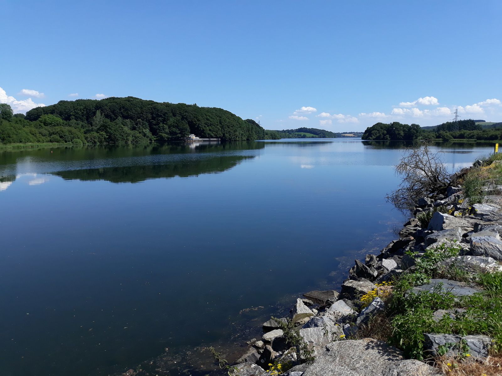
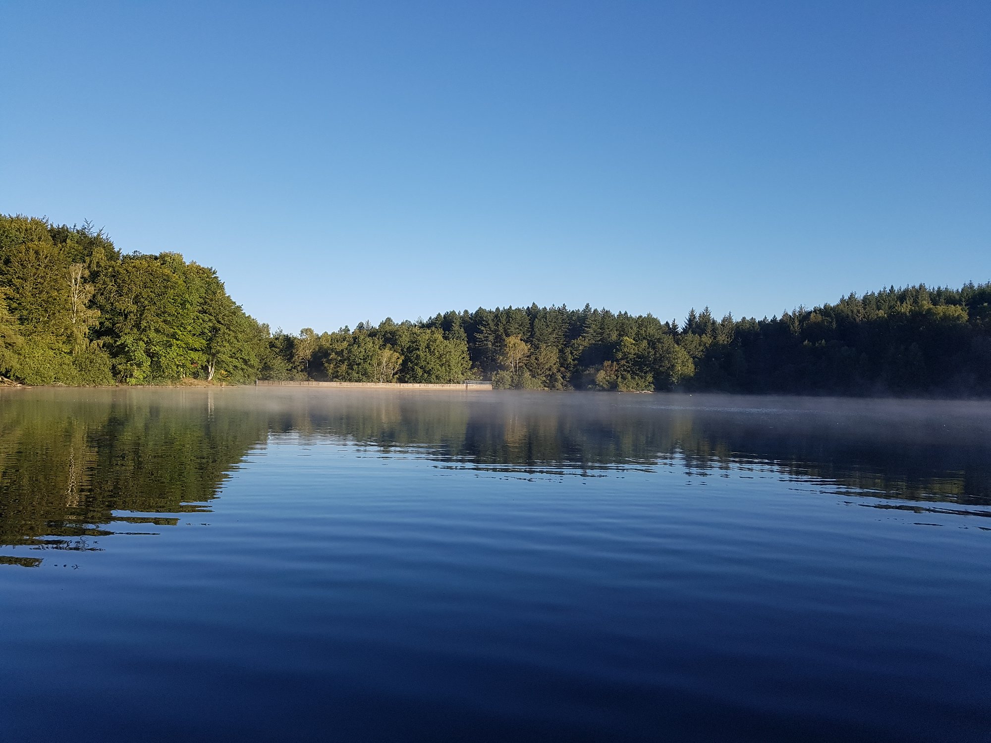
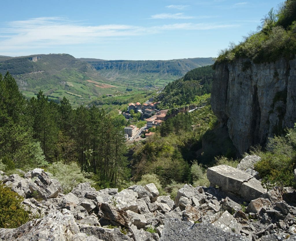
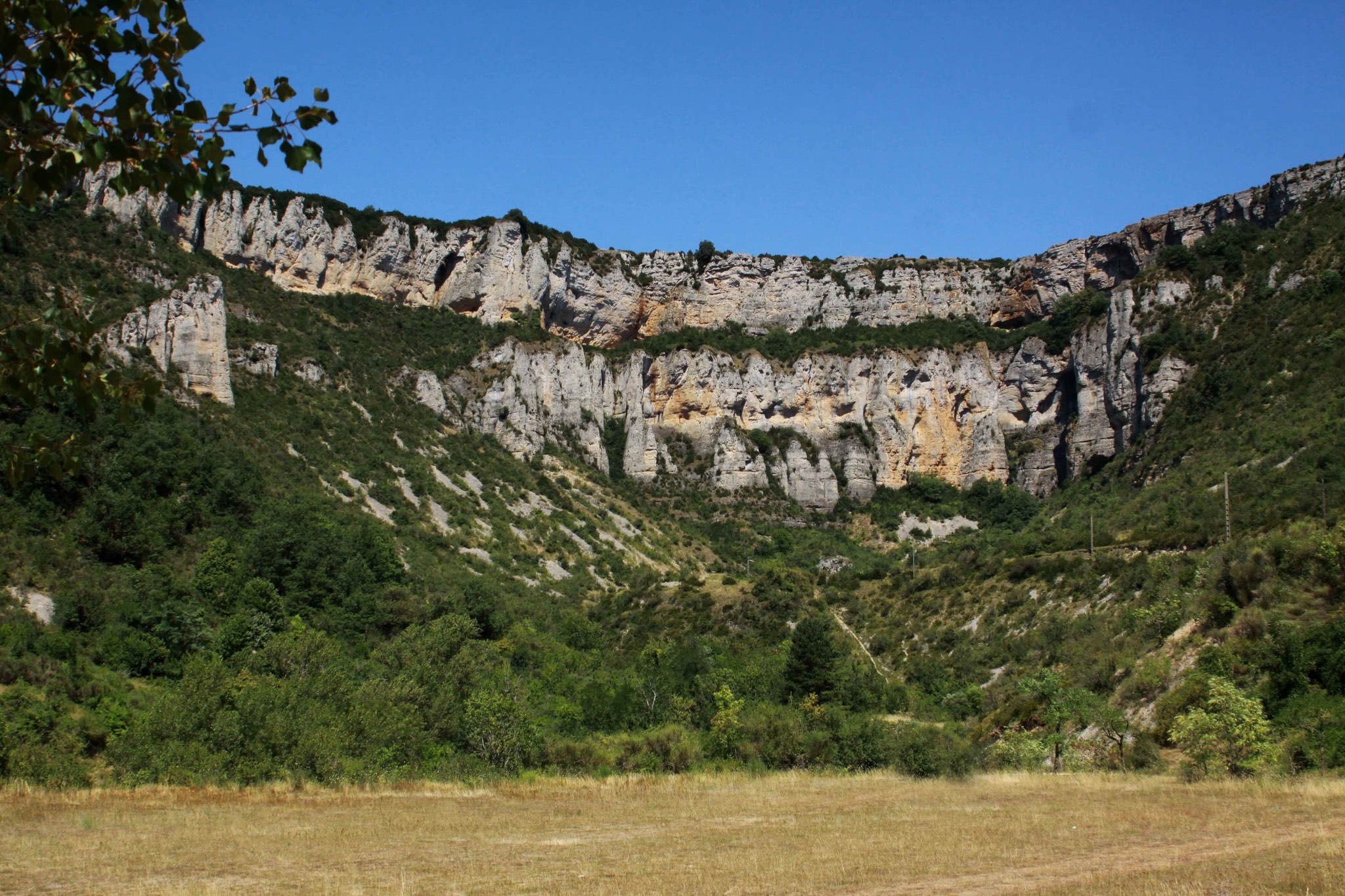
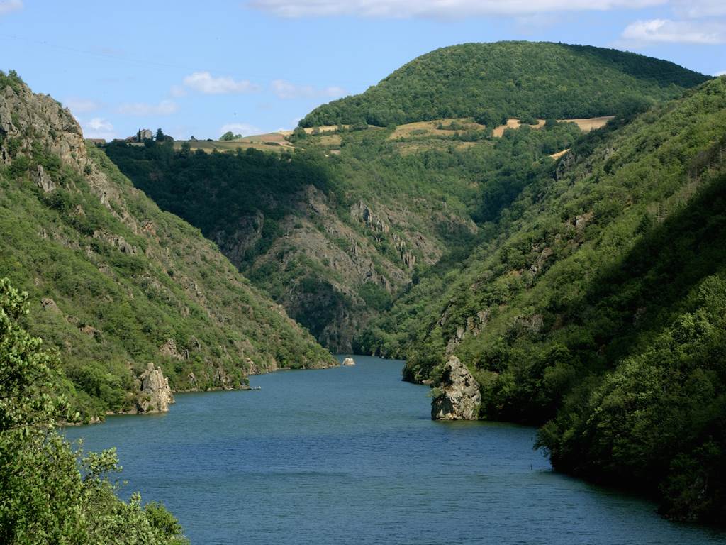
Leaving from Ayssènes, this hike makes a nice loop around the Tarn. The course, mainly in the forest, offers beautiful views of the river and the surrounding area. Note that some passages take the paved road.

Already more than 200,000 users!
Uphill
591m
Highest point
464m
Downhill
591m
Lowest point
262m
Route type
Loop
Download the map on your smartphone to save battery and rest assured to always keep access to the route, even without signal.
Includes IGN France and Swisstopo.
I indicate whether dogs are allowed or prohibited on this trail
All year
0 ratings
Also enjoy:

Already more than 200,000 users!