Uphill
42m
Length
2km
Duration
30min
Elev gain
42m
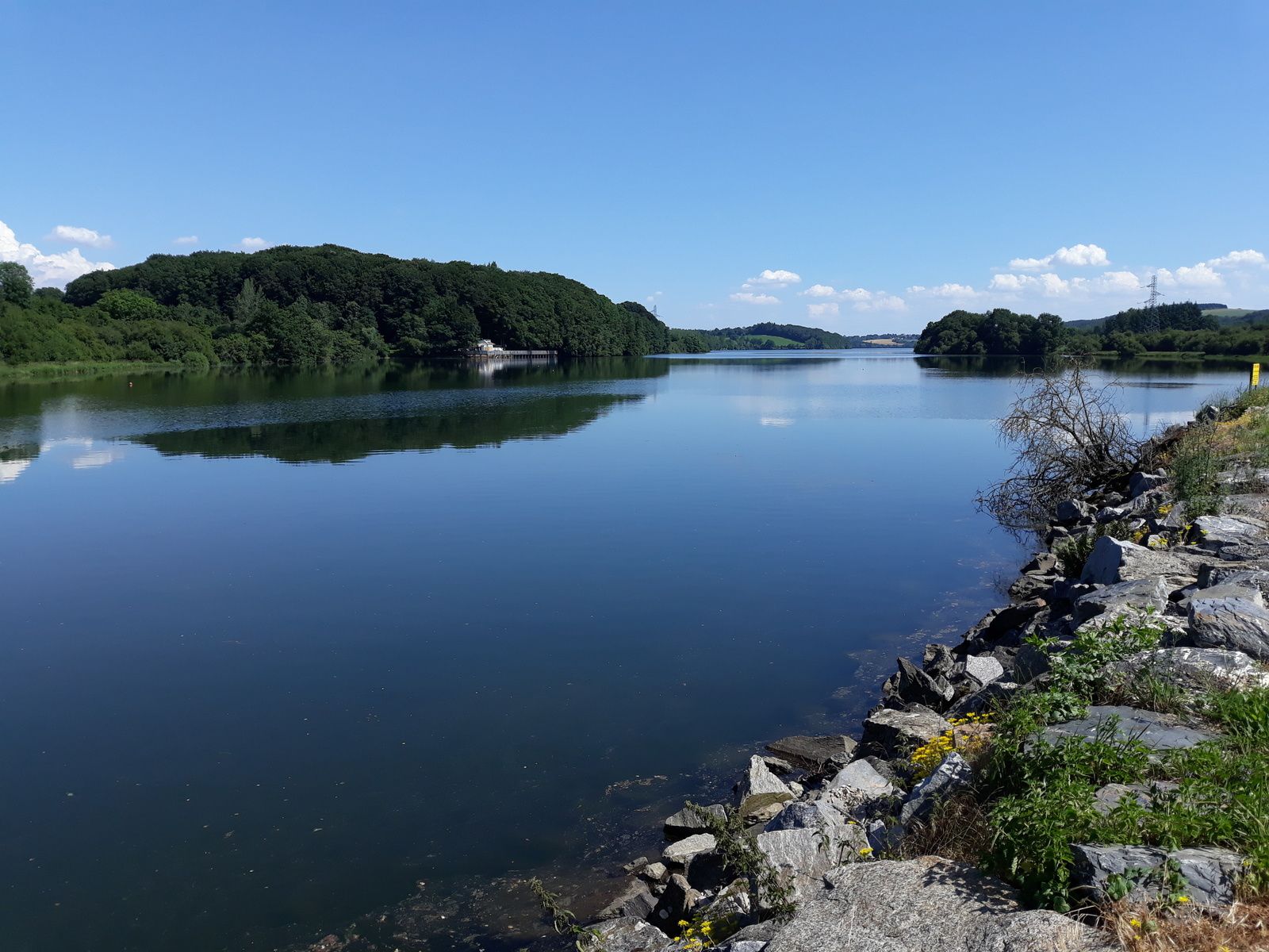
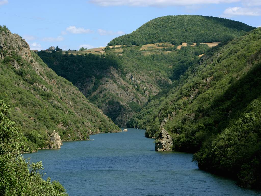
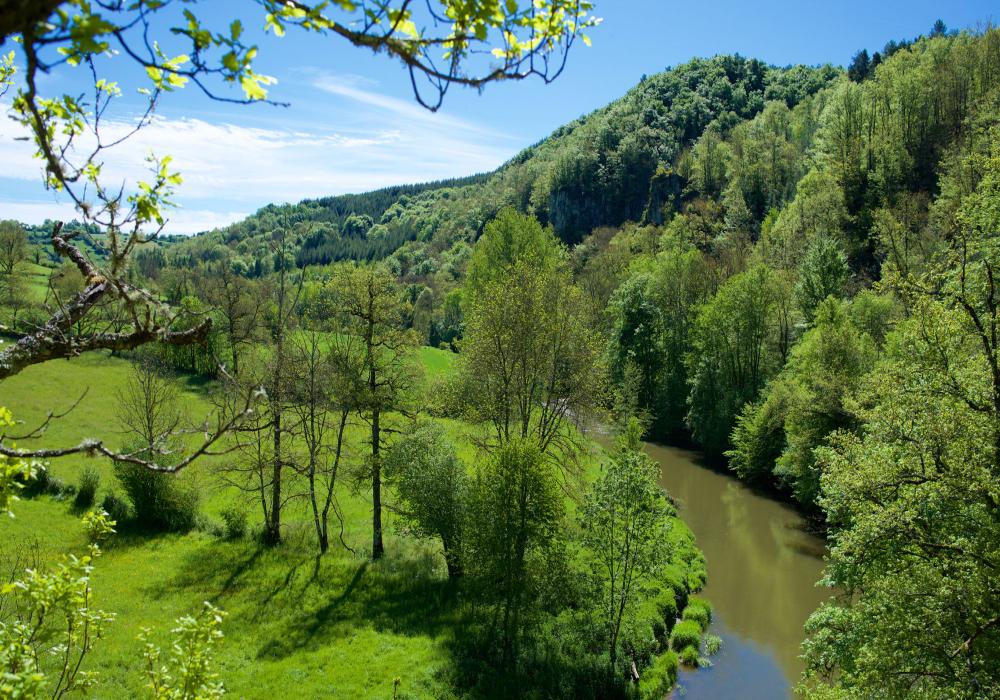
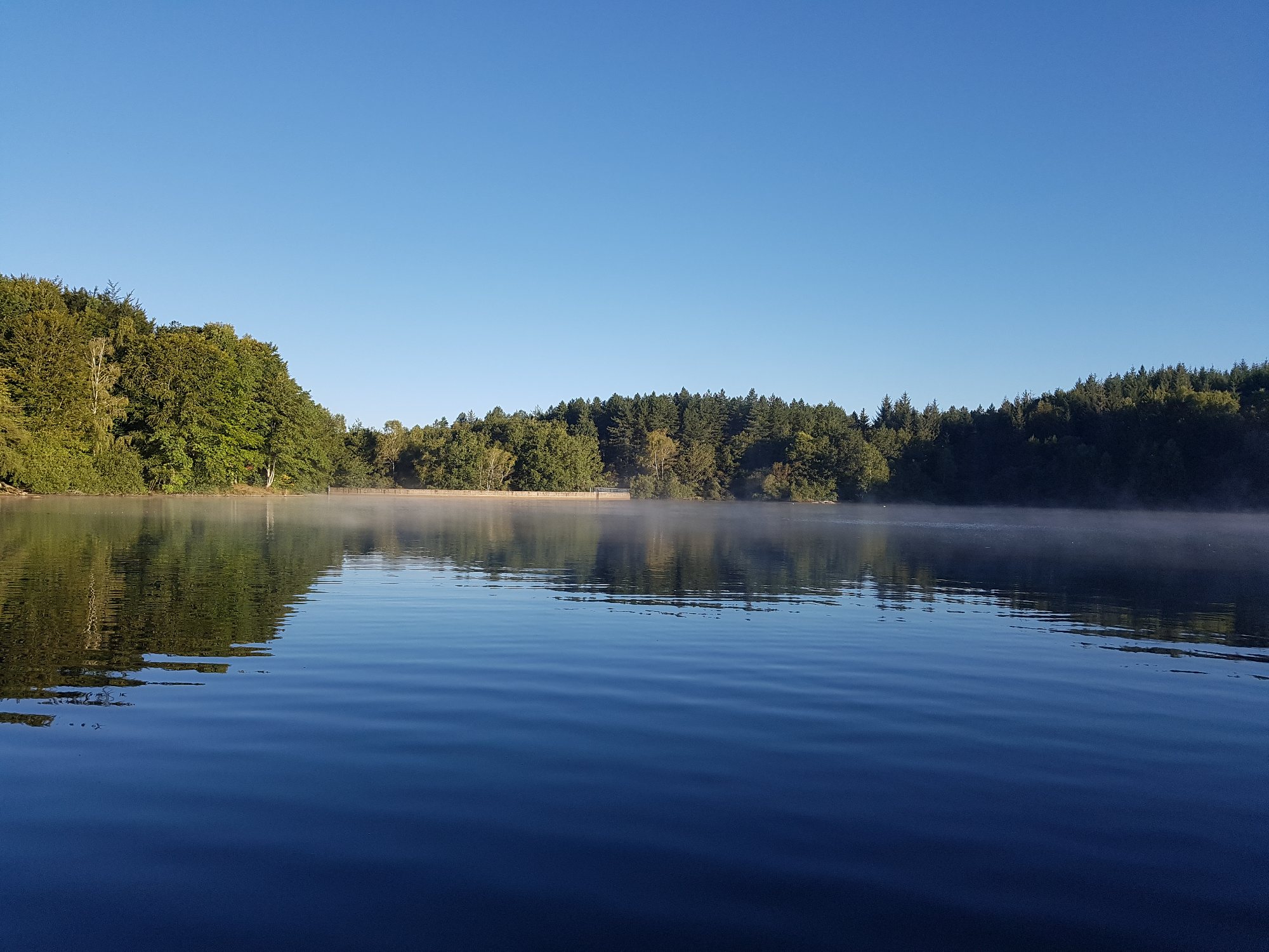
Between forest and water, this walk will suit the whole family. The route rushes into the forest then quickly joins the charming Lac de la Gourde, at the level of an observatory fitted out to appreciate the birds. Explanatory panels provide information on this subject.

Already more than 200,000 users!
Uphill
42m
Highest point
836m
Downhill
42m
Lowest point
796m
Route type
There and back
Download the map on your smartphone to save battery and rest assured to always keep access to the route, even without signal.
Includes IGN France and Swisstopo.
I indicate whether dogs are allowed or prohibited on this trail
All year
0 ratings
Also enjoy:

Already more than 200,000 users!