Uphill
104m
Length
10km
Duration
3h
Elev gain
104m
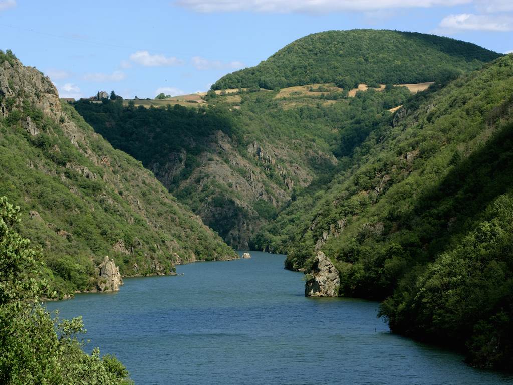
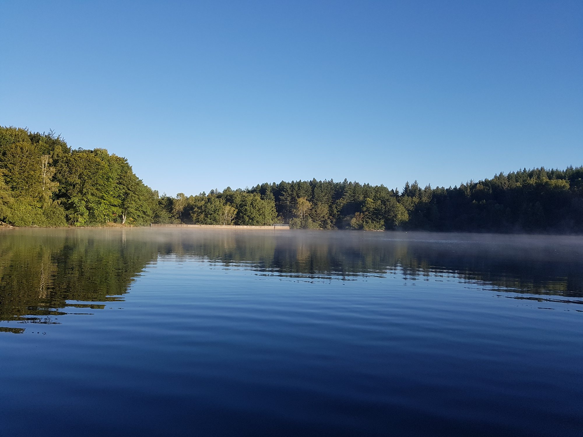
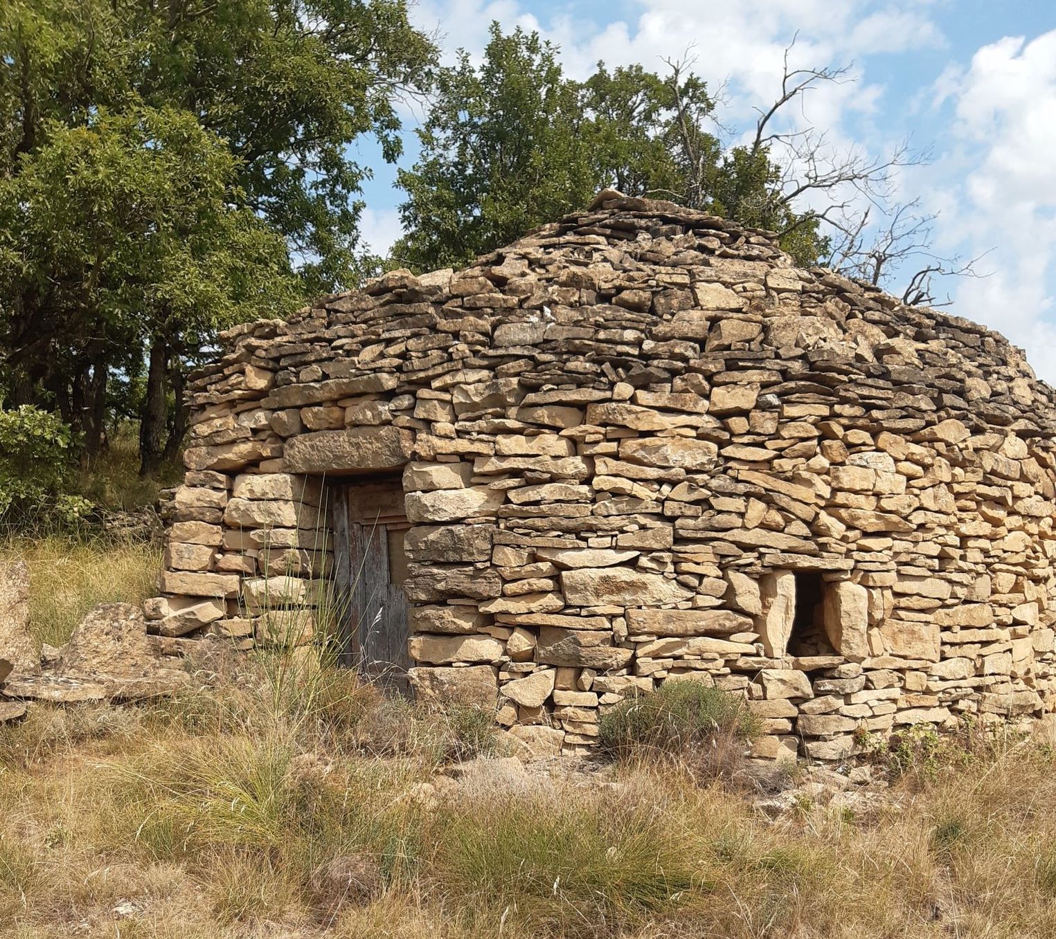
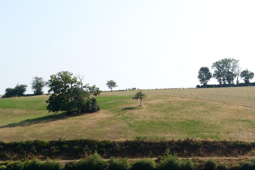
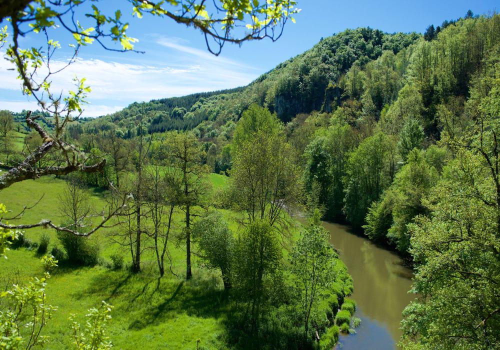
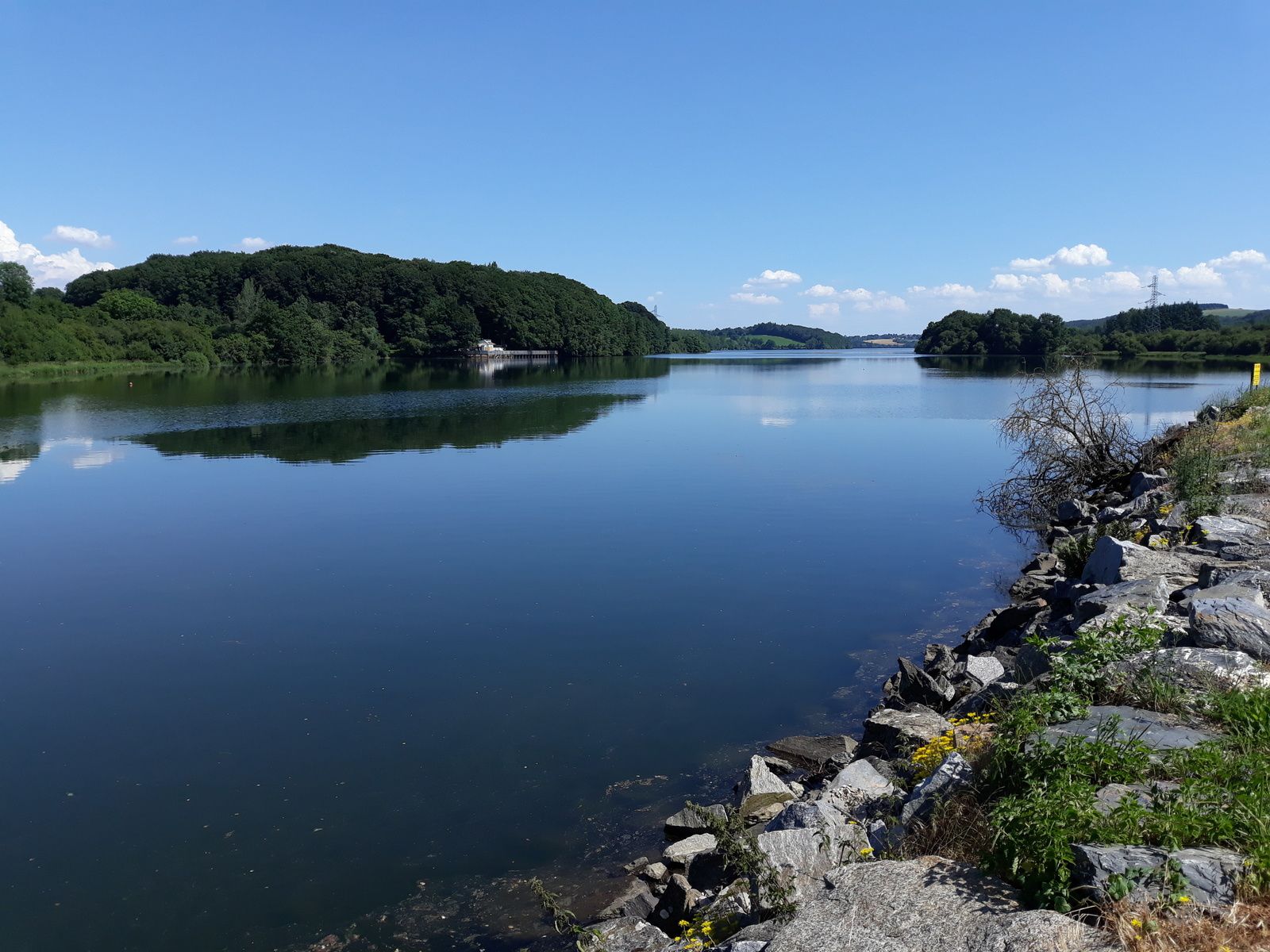
Family-friendly walk around the charming lake of Villefranche-de-Panat. Leaving from the town of the same name, the path runs along this artificial water reservoir, the landscapes alternating between fields, undergrowth and inhabited areas.

Already more than 200,000 users!
Uphill
104m
Highest point
737m
Downhill
104m
Lowest point
711m
Route type
Loop
Download the map on your smartphone to save battery and rest assured to always keep access to the route, even without signal.
Includes IGN France and Swisstopo.
I indicate whether dogs are allowed or prohibited on this trail
All year
1 rating
Also enjoy:

Already more than 200,000 users!