Uphill
1074m
France > Occitanie > Hautes-Pyrénées
Length
12km
Duration
6h30min
Elev gain
1074m
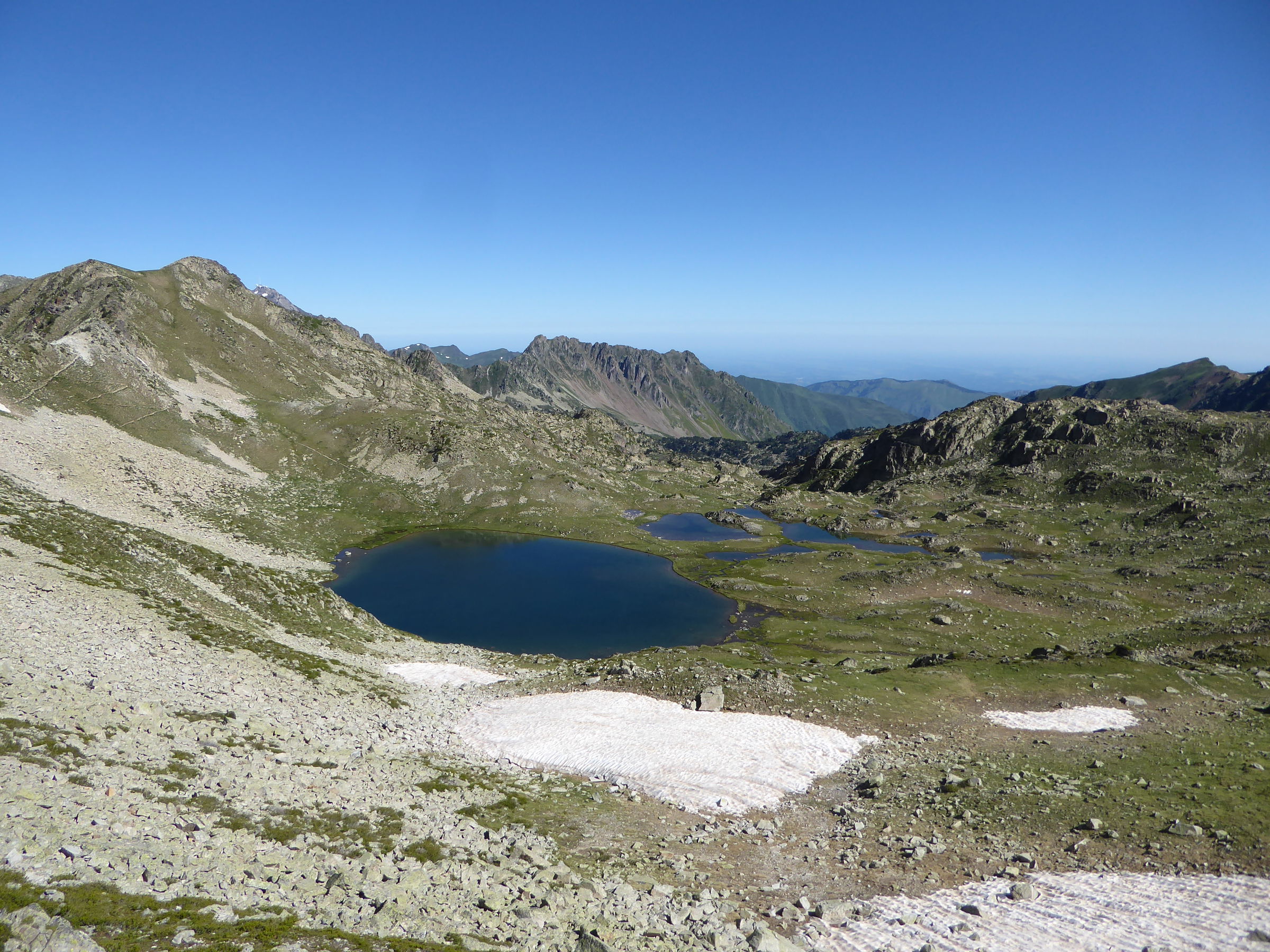
From the start, this trail devours 400 meters of elevation to the Col d'Estadou (2,260 m), before descending immediately to reach Lake Oule in a green setting. The path proceeds along a stream, then passes by the cabin of Bastan and by several bodies of water such as the lake of the Milieu and the lake Supérieur.
We then arrive at the Col de Bastanet (2,509 m), the highest point of this trek, for a magnificent panorama extending over the Néouvielle massif and even to the Pic du Midi.
Finally, the path descends between the Hourquette, Arrédoun and Campana lakes, until you reach the Campana de Cloutou refuge.

Already more than 200,000 users!
Uphill
1074m
Highest point
2508m
Downhill
730m
Lowest point
1810m
Route type
One way
Download the map on your smartphone to save battery and rest assured to always keep access to the route, even without signal.
Includes IGN France and Swisstopo.
Shelter at the end of the stage.
I indicate whether dogs are allowed or prohibited on this trail
From June to September
0 ratings
Also enjoy:

Already more than 200,000 users!


