Uphill
877m
Length
8km
Duration
5h30min
Elev gain
877m
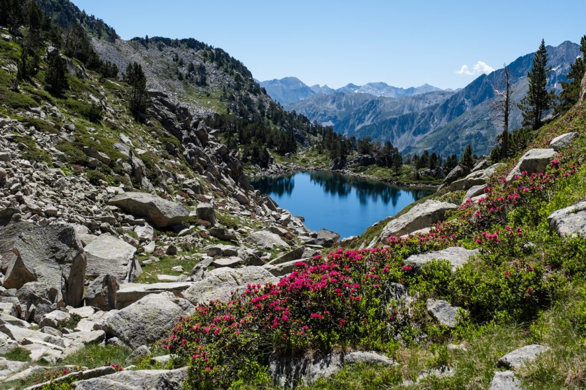
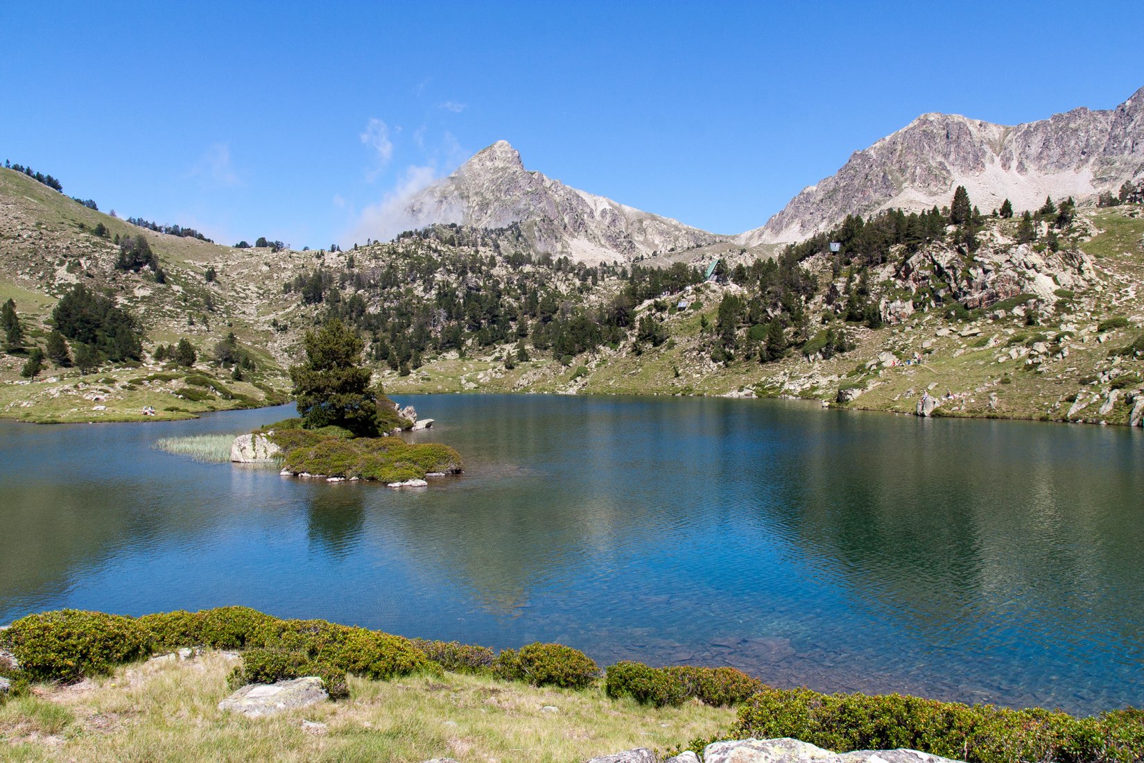
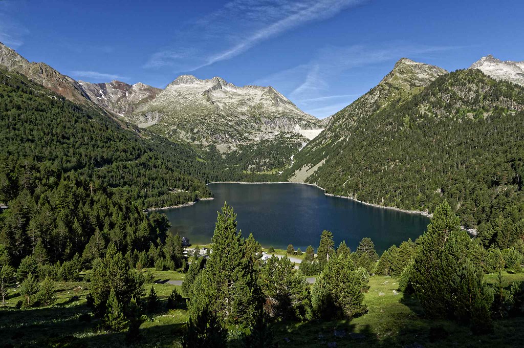
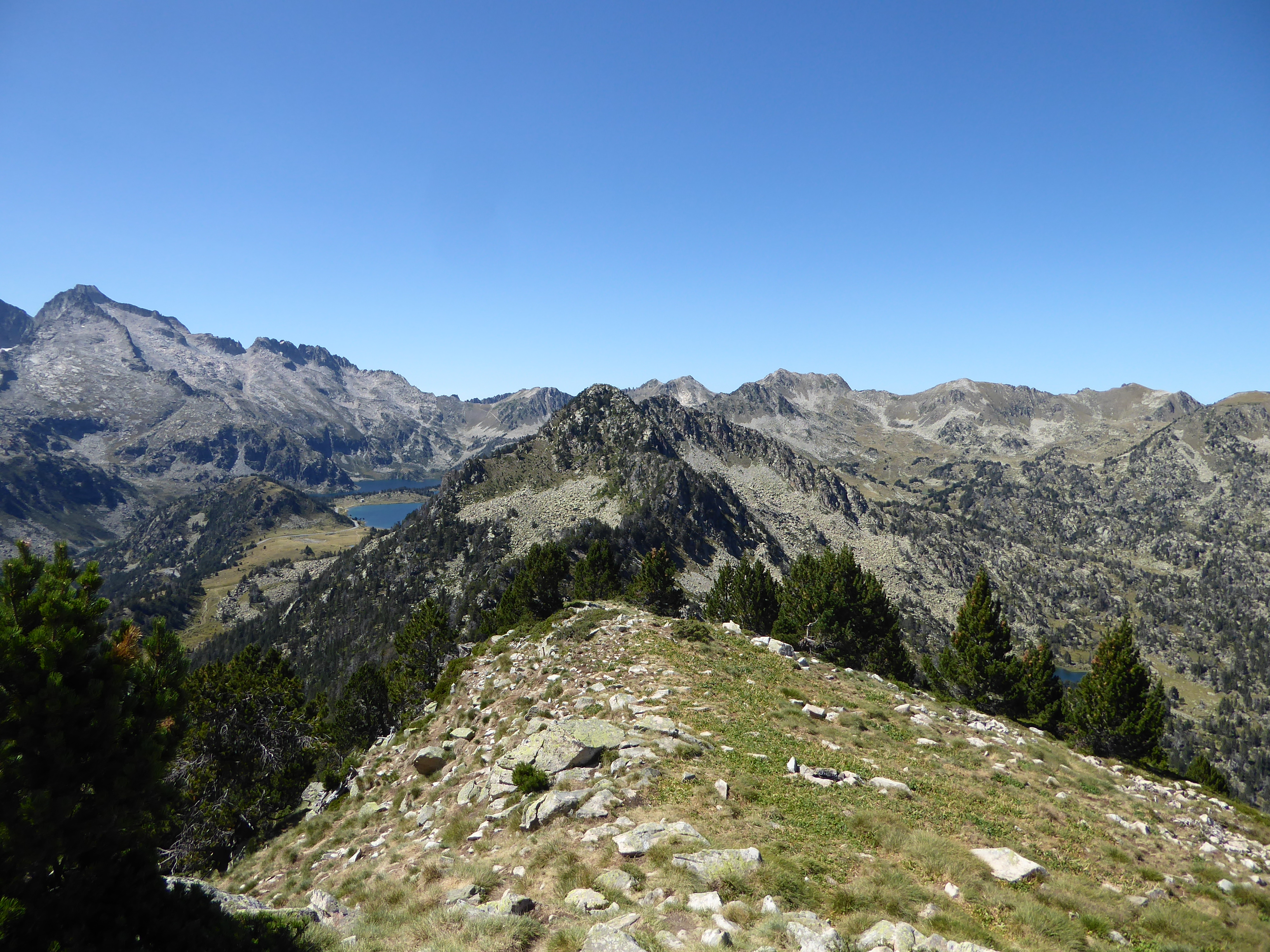
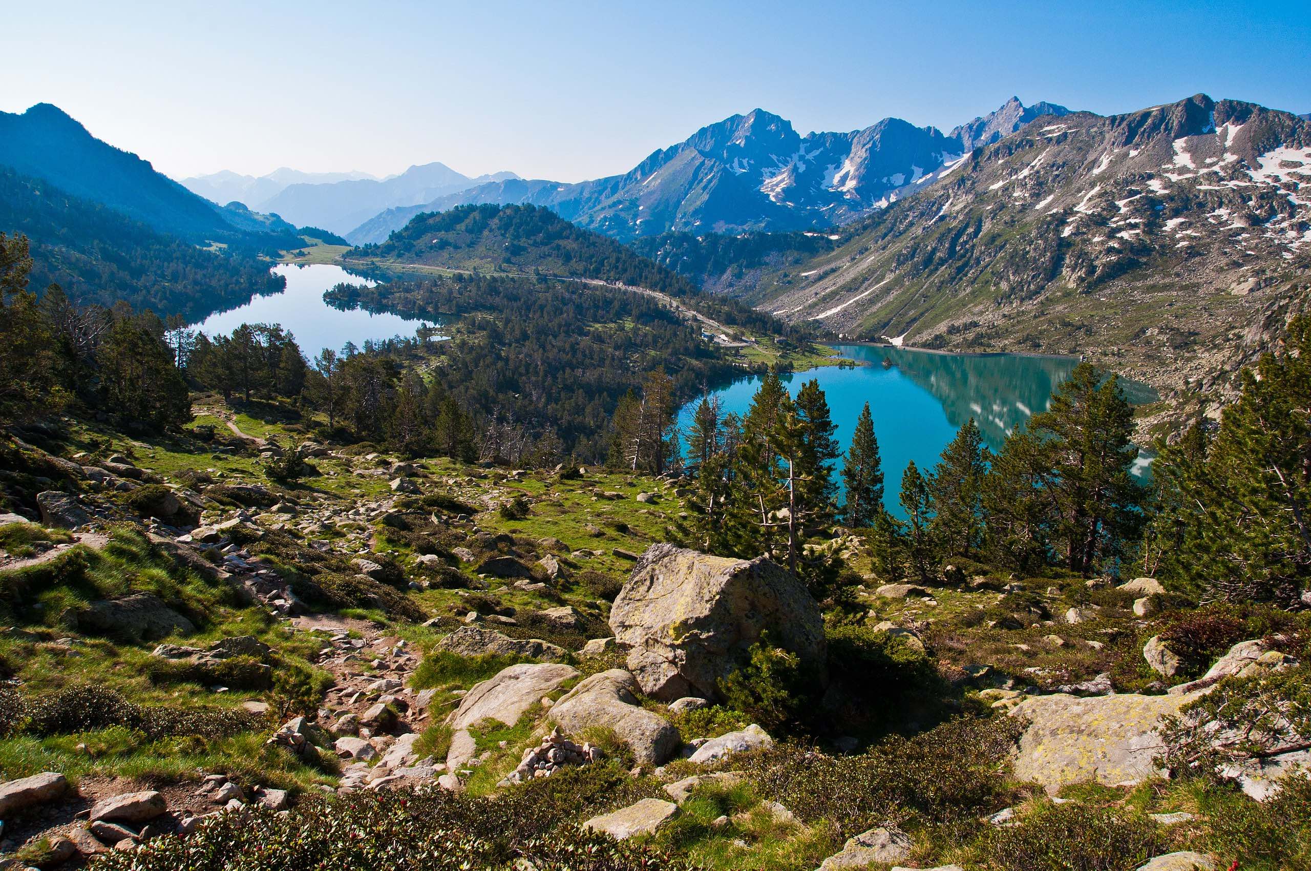
Hike back and forth to the peak of Néouvielle, for a breathtaking panorama of the surrounding lakes and peaks.
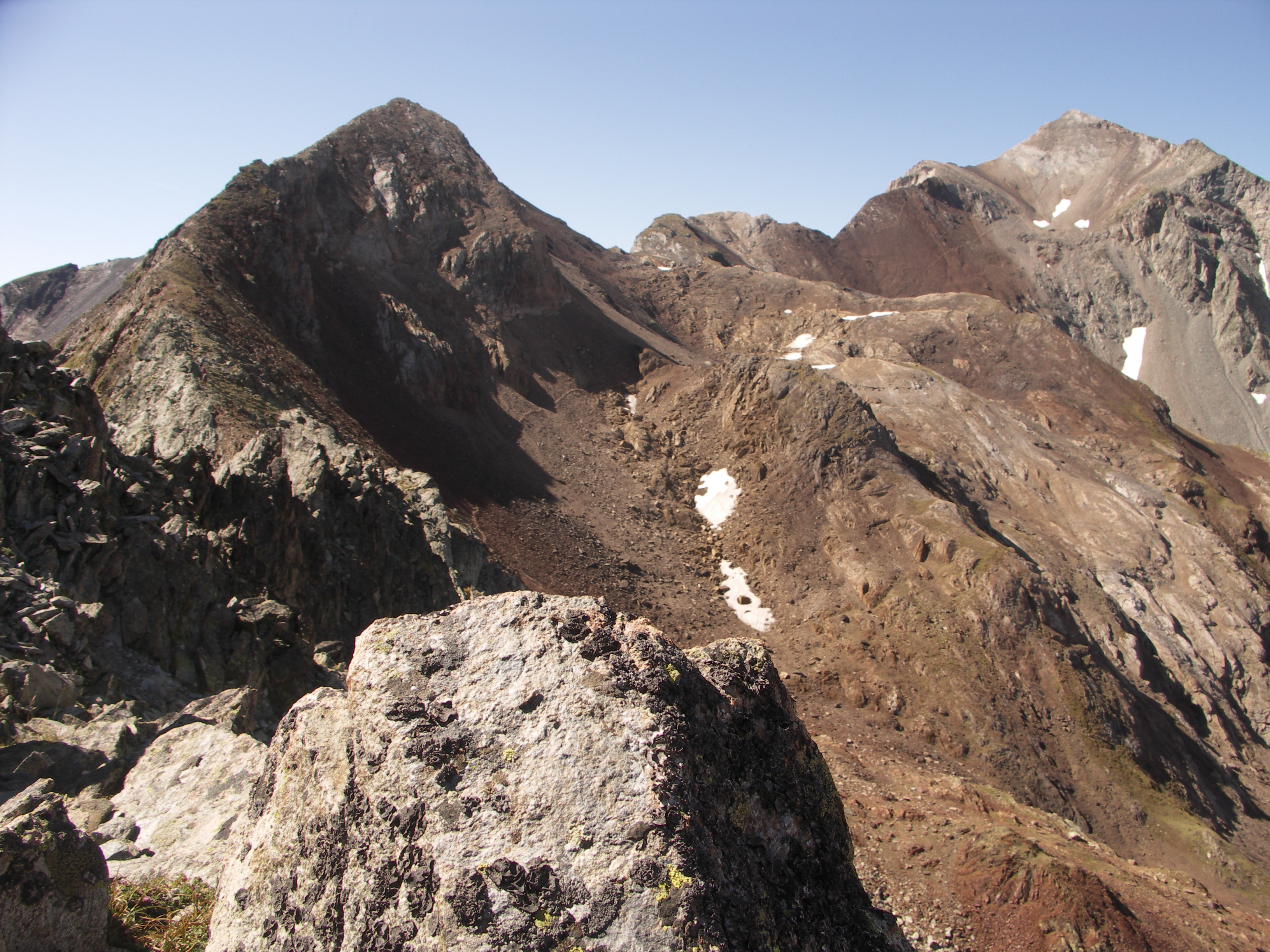
⚠️ Warning: this summit is demanding, stony, and poorly marked, although cairns are present. Crampons and an ice ax are recommended.

Already more than 200,000 users!
Uphill
877m
Highest point
3004m
Downhill
877m
Lowest point
2148m
Route type
There and back
Download the map on your smartphone to save battery and rest assured to always keep access to the route, even without signal.
Includes IGN France and Swisstopo.
I indicate whether dogs are allowed or prohibited on this trail
From June to September
0 ratings
Also enjoy:

Already more than 200,000 users!