Uphill
475m
Length
6km
Duration
3h30min
Elev gain
475m
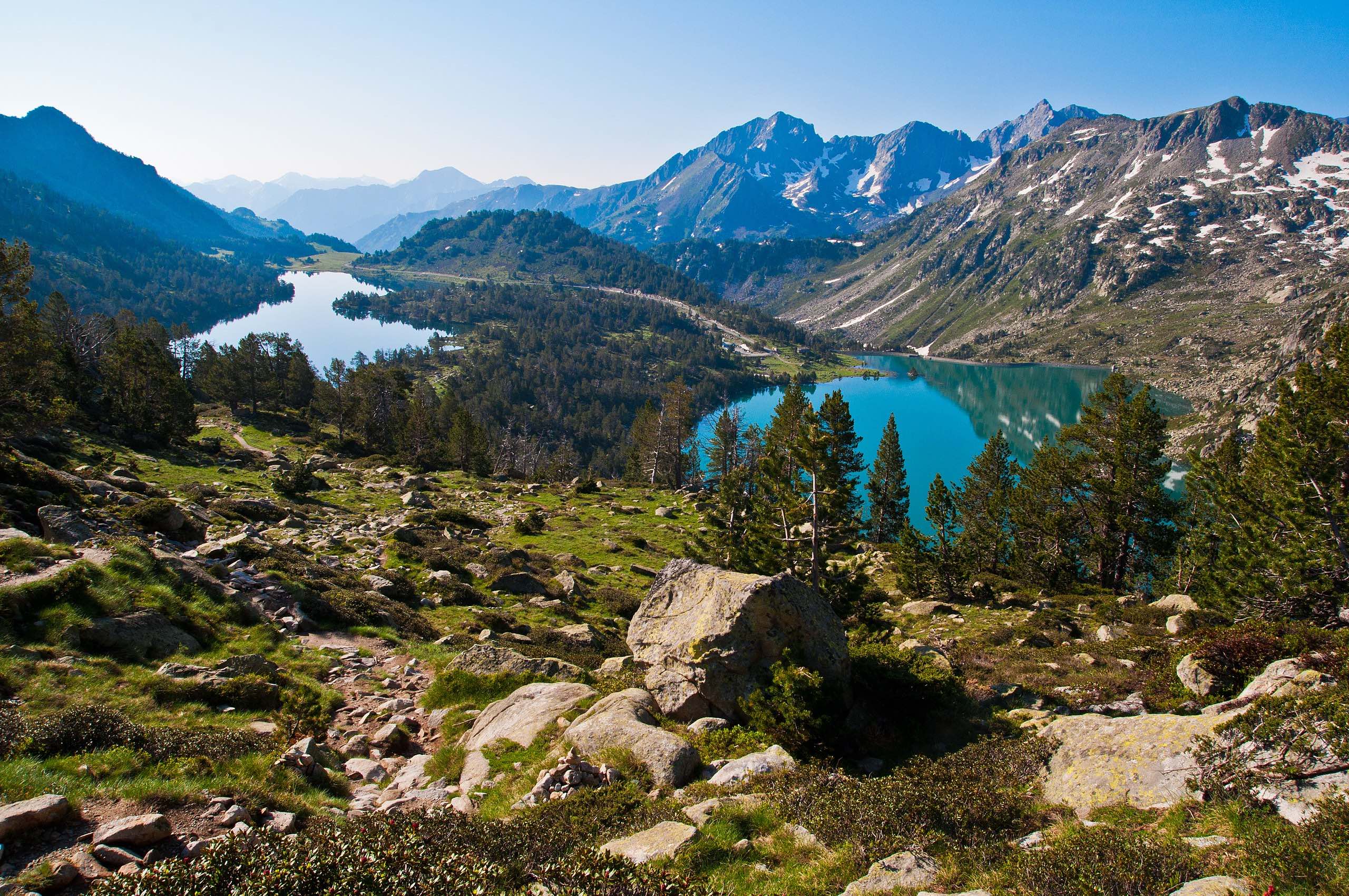
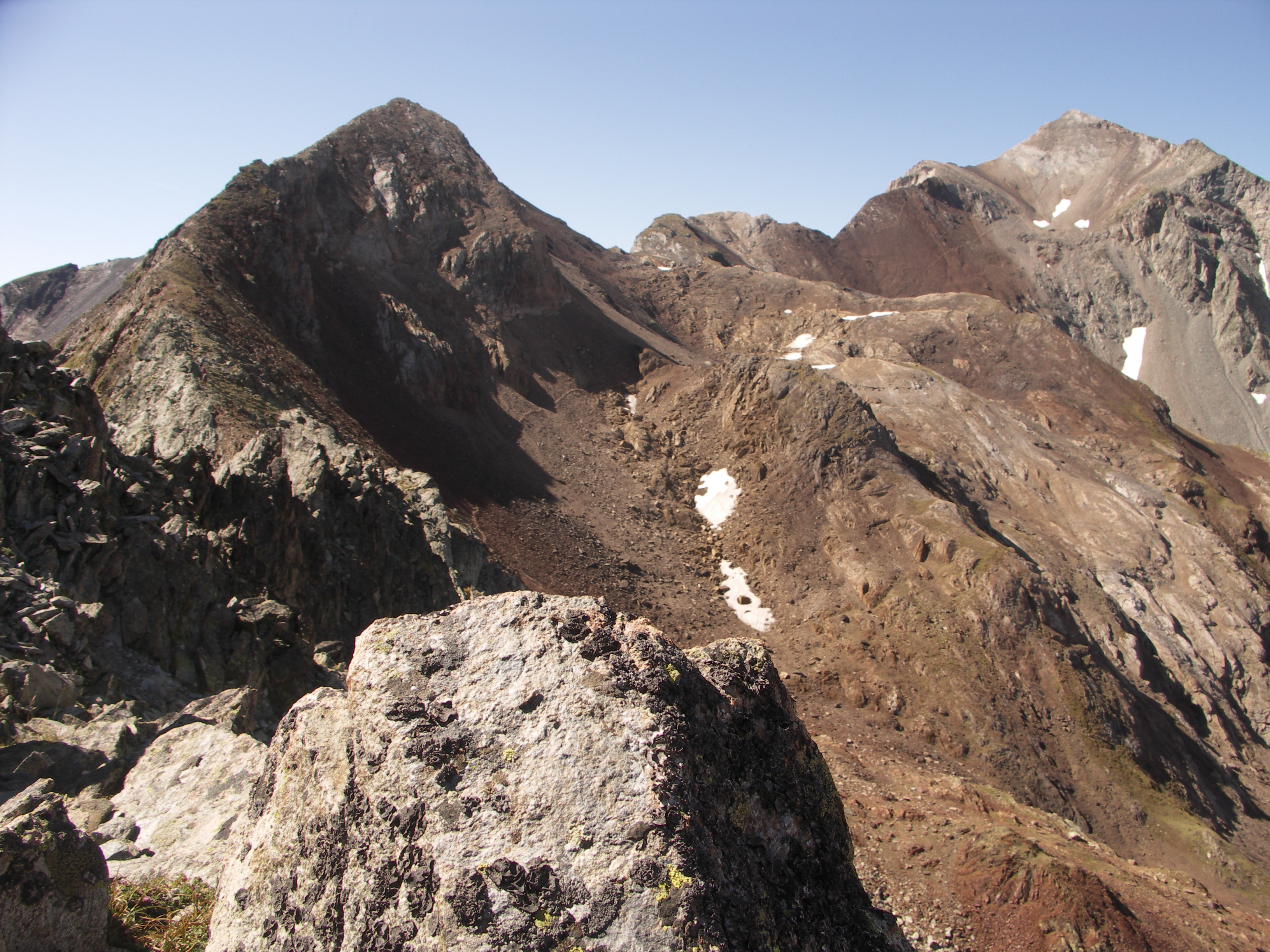
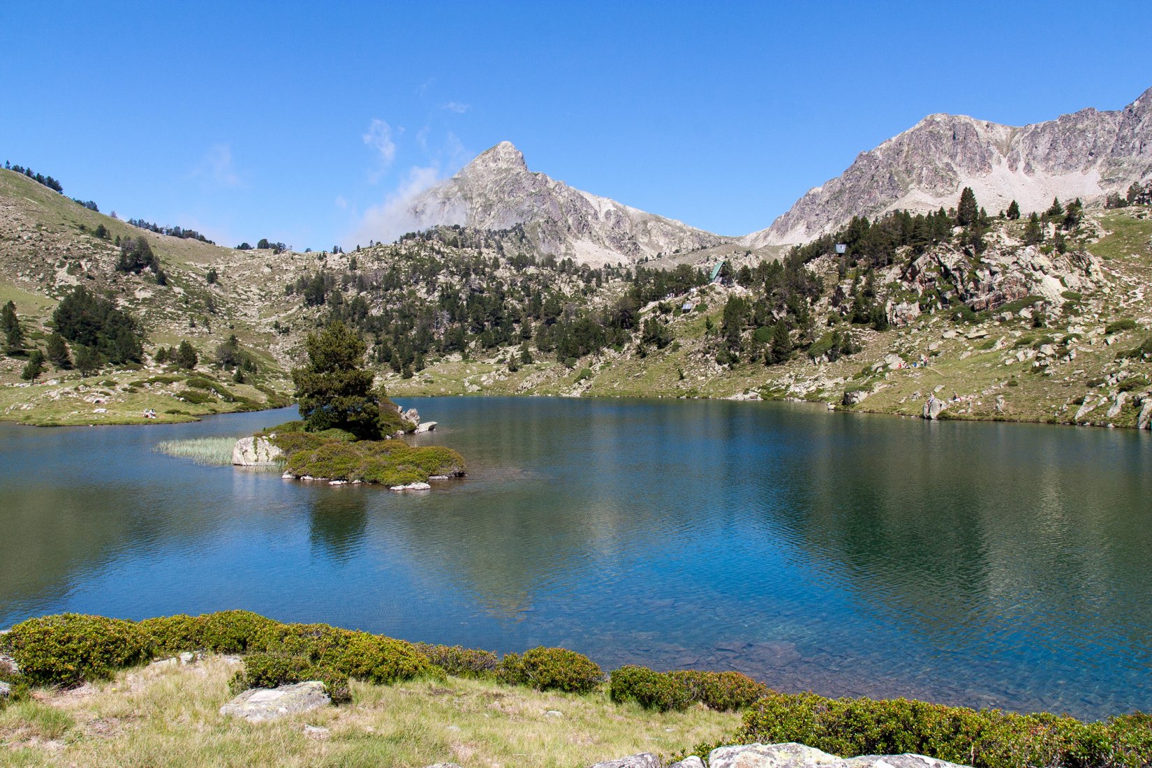
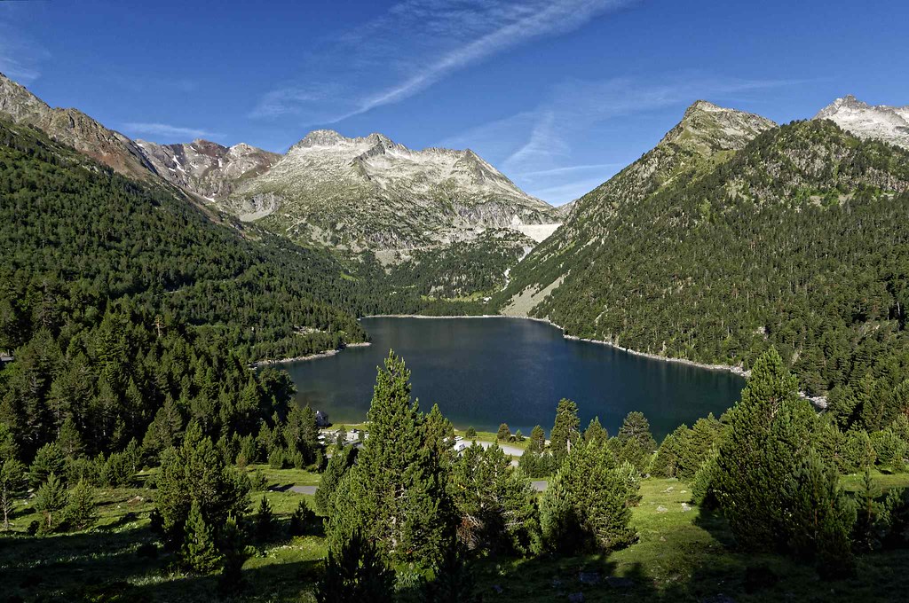
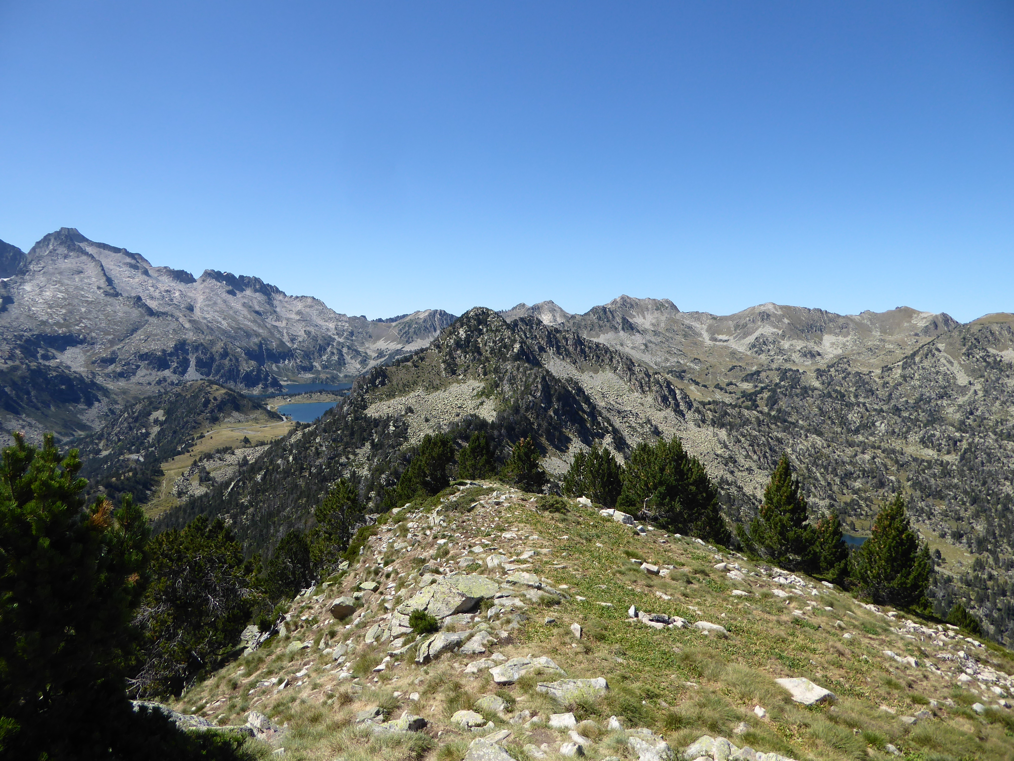
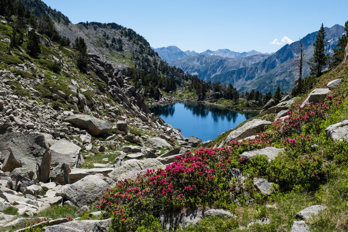
This trail winds its way between the Aubert and Aumar lakes to reach the peak of Madamète (2,657 m), for a superb panorama of the Néouvielle.

Already more than 200,000 users!
Uphill
475m
Highest point
2637m
Downhill
475m
Lowest point
2160m
Route type
There and back
Download the map on your smartphone to save battery and rest assured to always keep access to the route, even without signal.
Includes IGN France and Swisstopo.
0 ratings
Also enjoy:

Already more than 200,000 users!