Uphill
563m
Length
5km
Duration
3h30min
Elev gain
563m
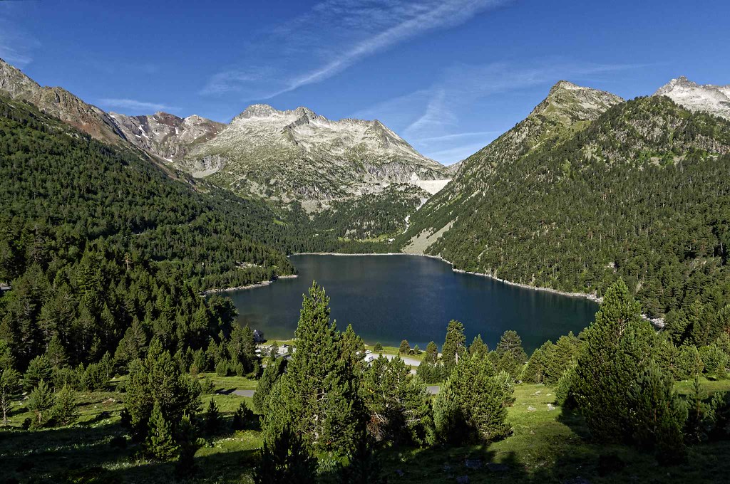
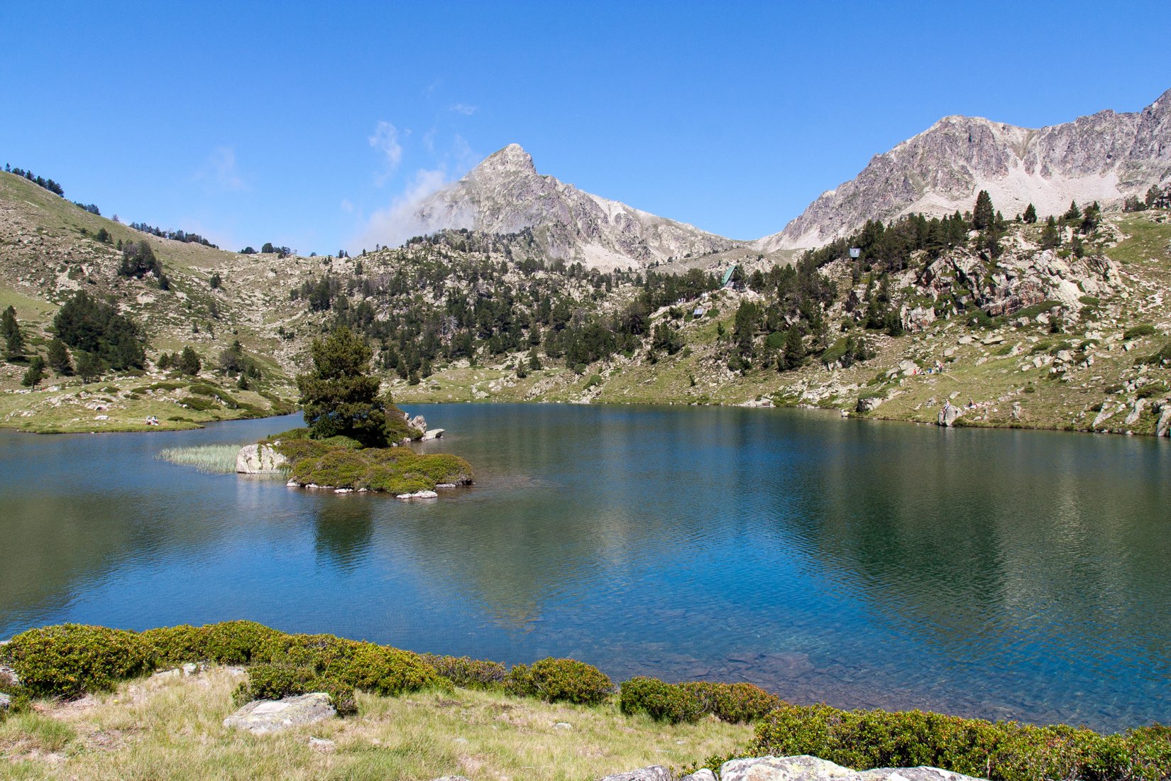
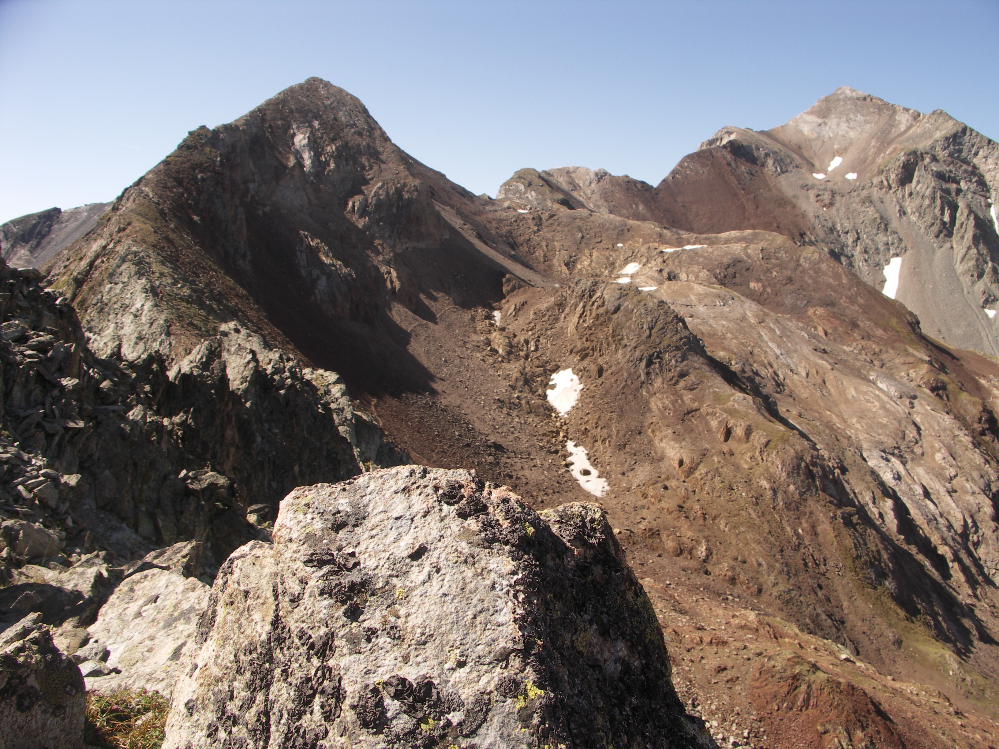
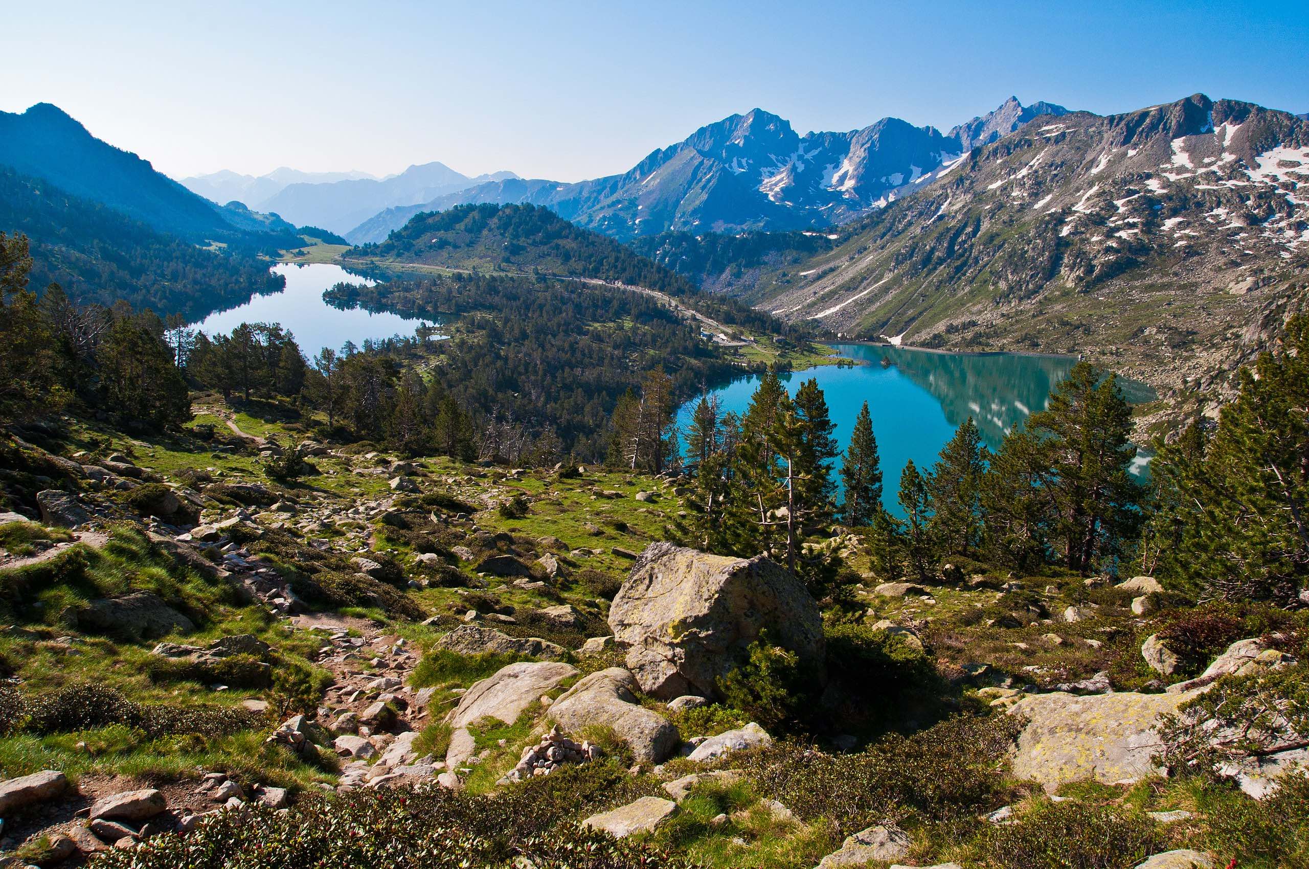
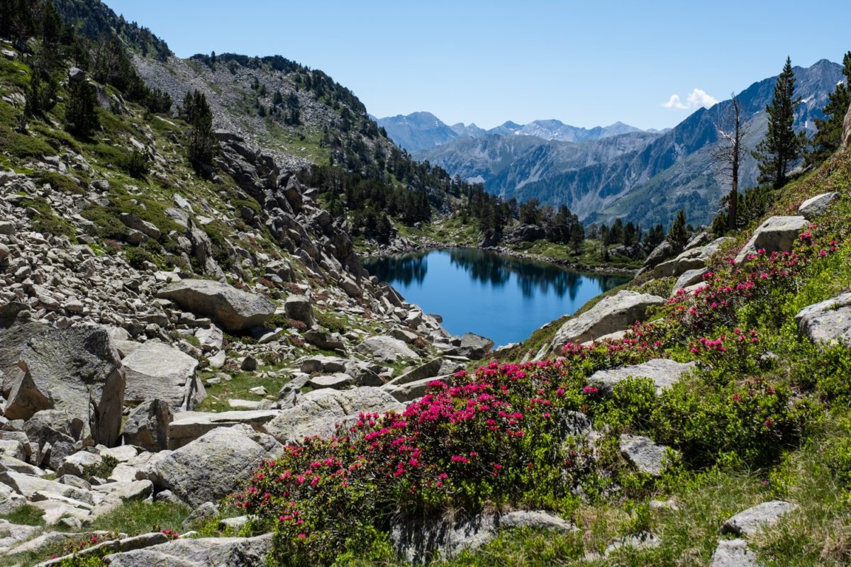
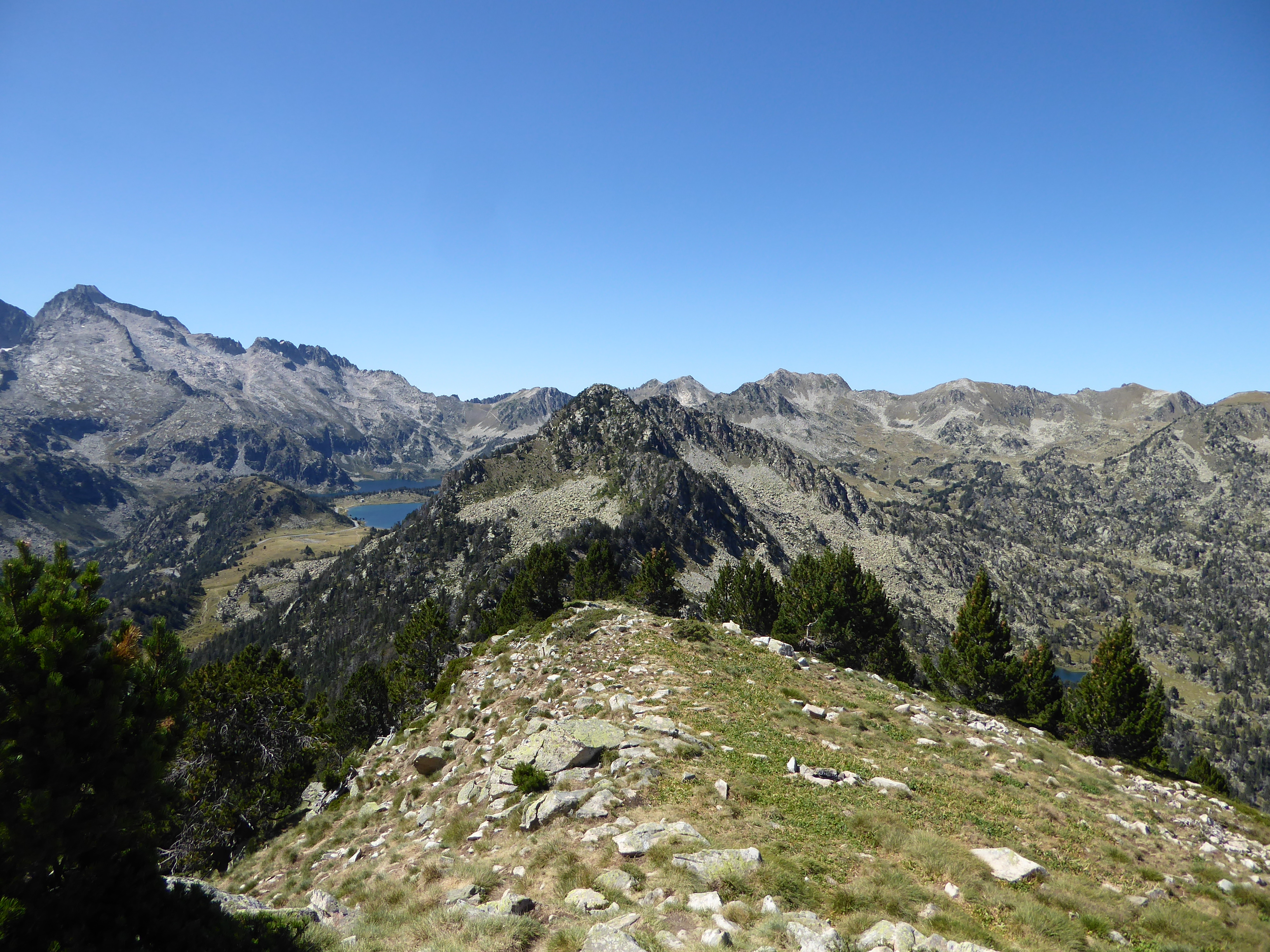
From the Oredon refuge, this hike leads to the Soum de Monpelat, at 2,474 meters. Once at the top, the panorama is grandiose: summits of Néouvielle and a multitude of lakes.

Already more than 200,000 users!
Uphill
563m
Highest point
2445m
Downhill
563m
Lowest point
1871m
Route type
There and back
Download the map on your smartphone to save battery and rest assured to always keep access to the route, even without signal.
Includes IGN France and Swisstopo.
I indicate whether dogs are allowed or prohibited on this trail
From June to September
0 ratings
Also enjoy:

Already more than 200,000 users!