Uphill
1003m
Length
10km
Duration
6h30min
Elev gain
1003m
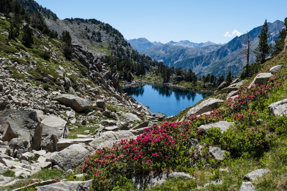
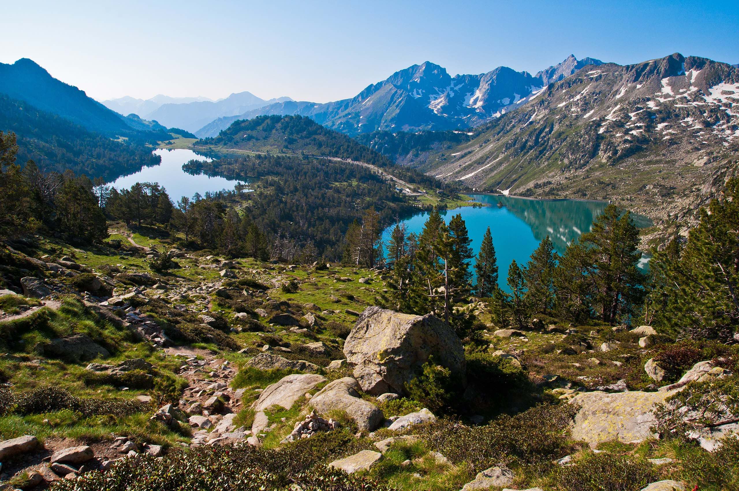
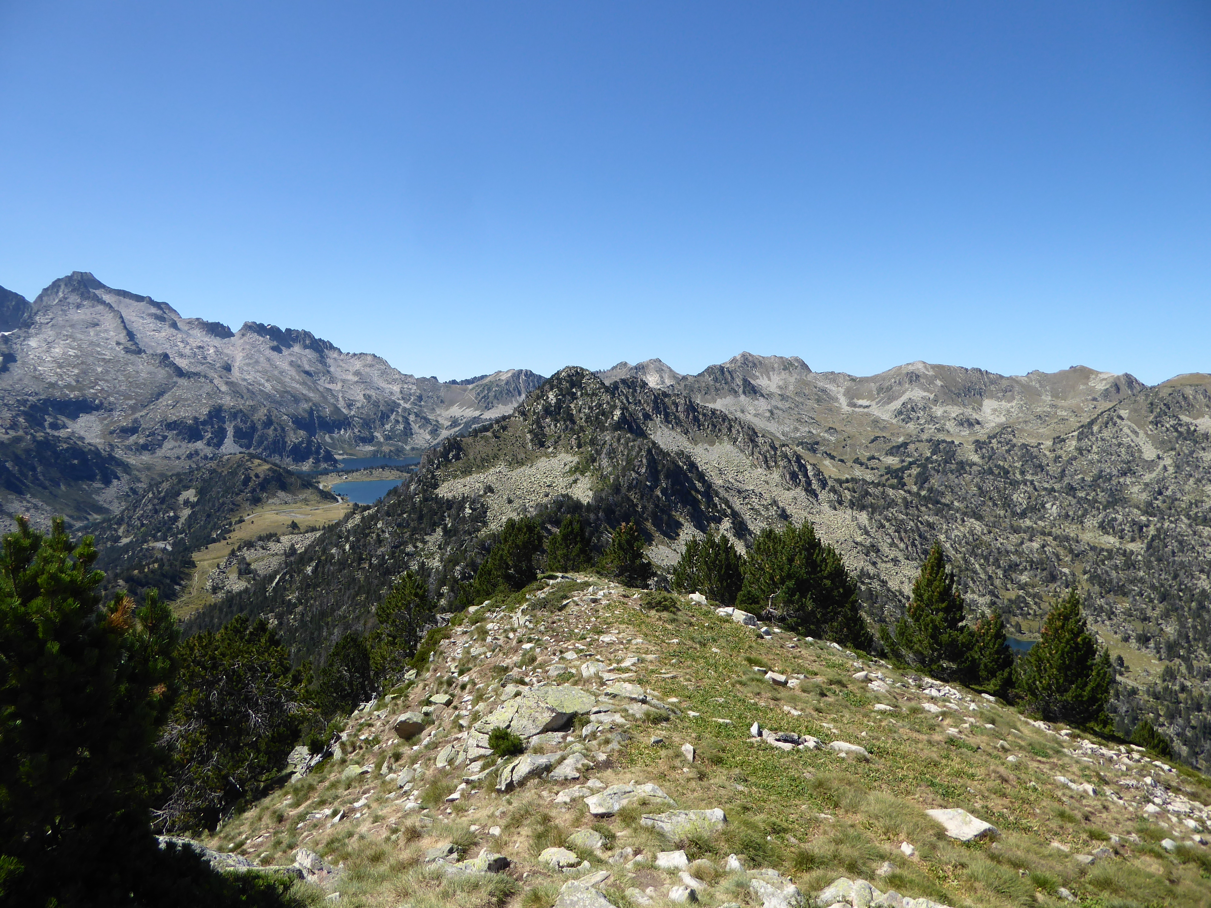
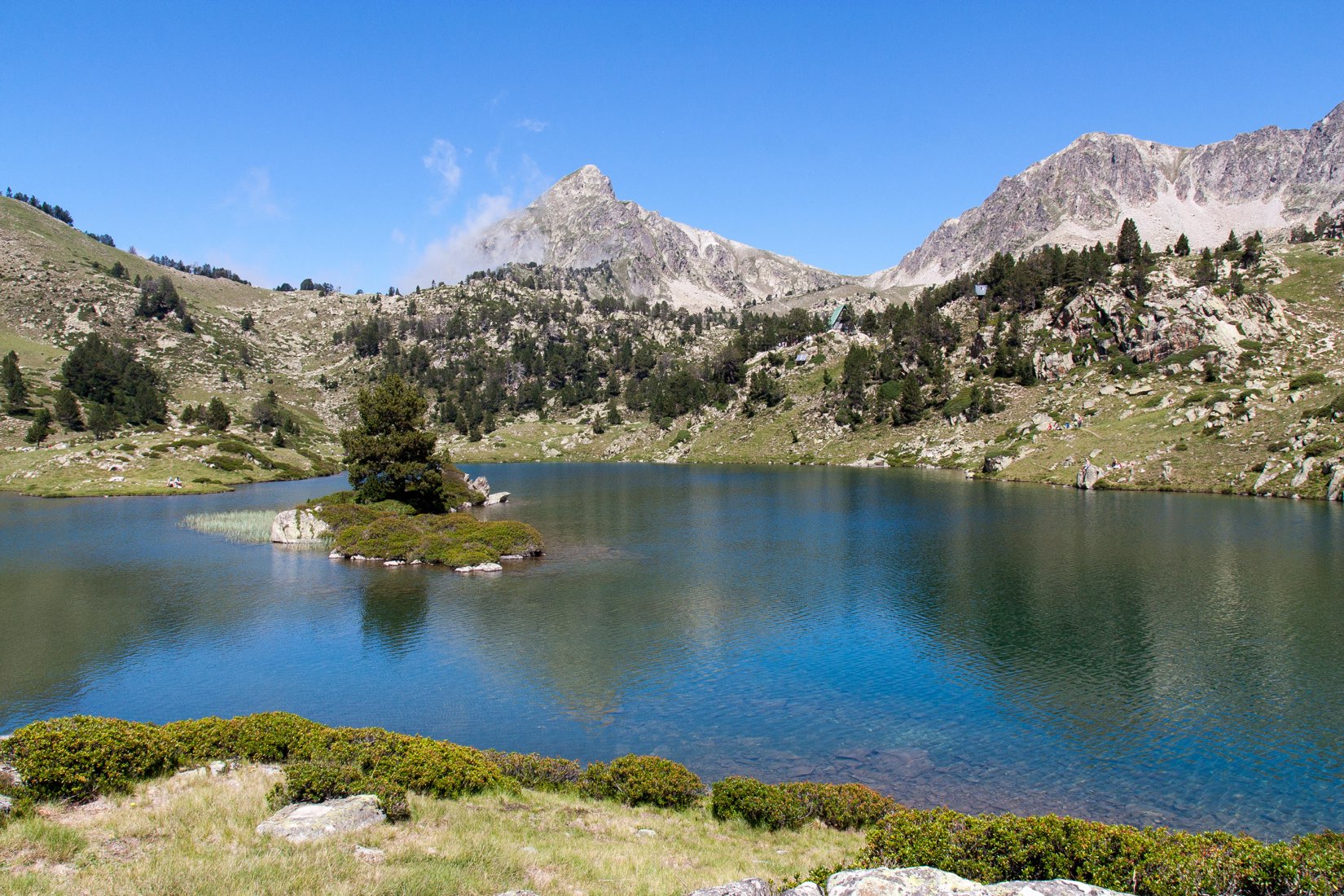
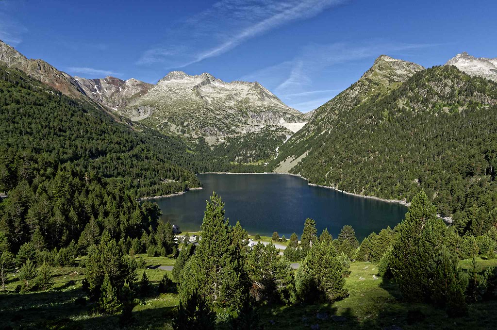
Sporty hike from Cap de Long lake. The trail climbs to the peak of Estaragne culminating at 3,004 meters above sea level. The beauty of the landscapes is sublime.
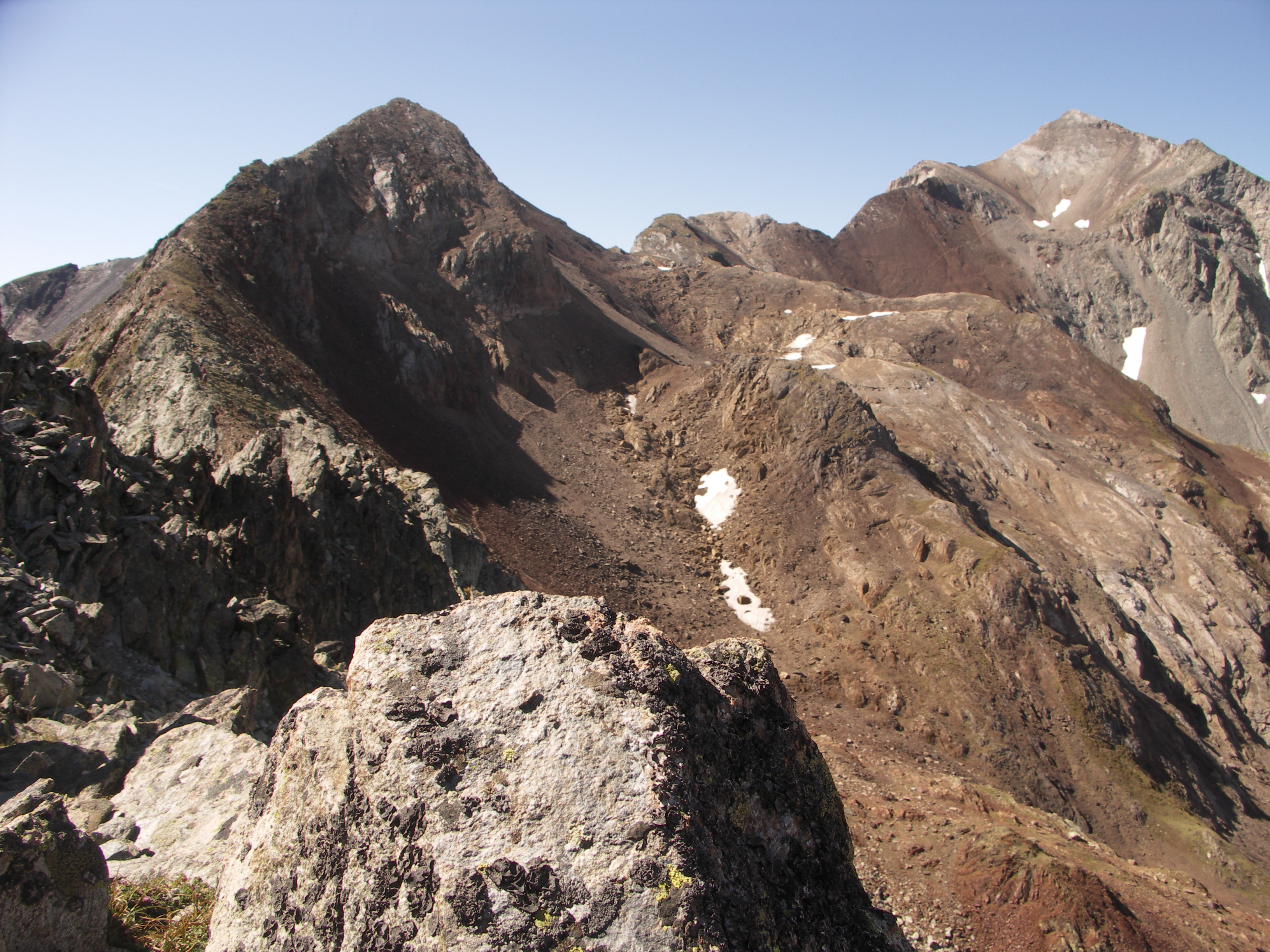
Note that the last part of the hike, leading to the summit, is not marked.

Already more than 200,000 users!
Uphill
1003m
Highest point
2955m
Downhill
1003m
Lowest point
2066m
Route type
Loop
Download the map on your smartphone to save battery and rest assured to always keep access to the route, even without signal.
Includes IGN France and Swisstopo.
I indicate whether dogs are allowed or prohibited on this trail
From June to September
0 ratings
Also enjoy:

Already more than 200,000 users!