Uphill
483m
Length
10km
Duration
4h
Elev gain
483m
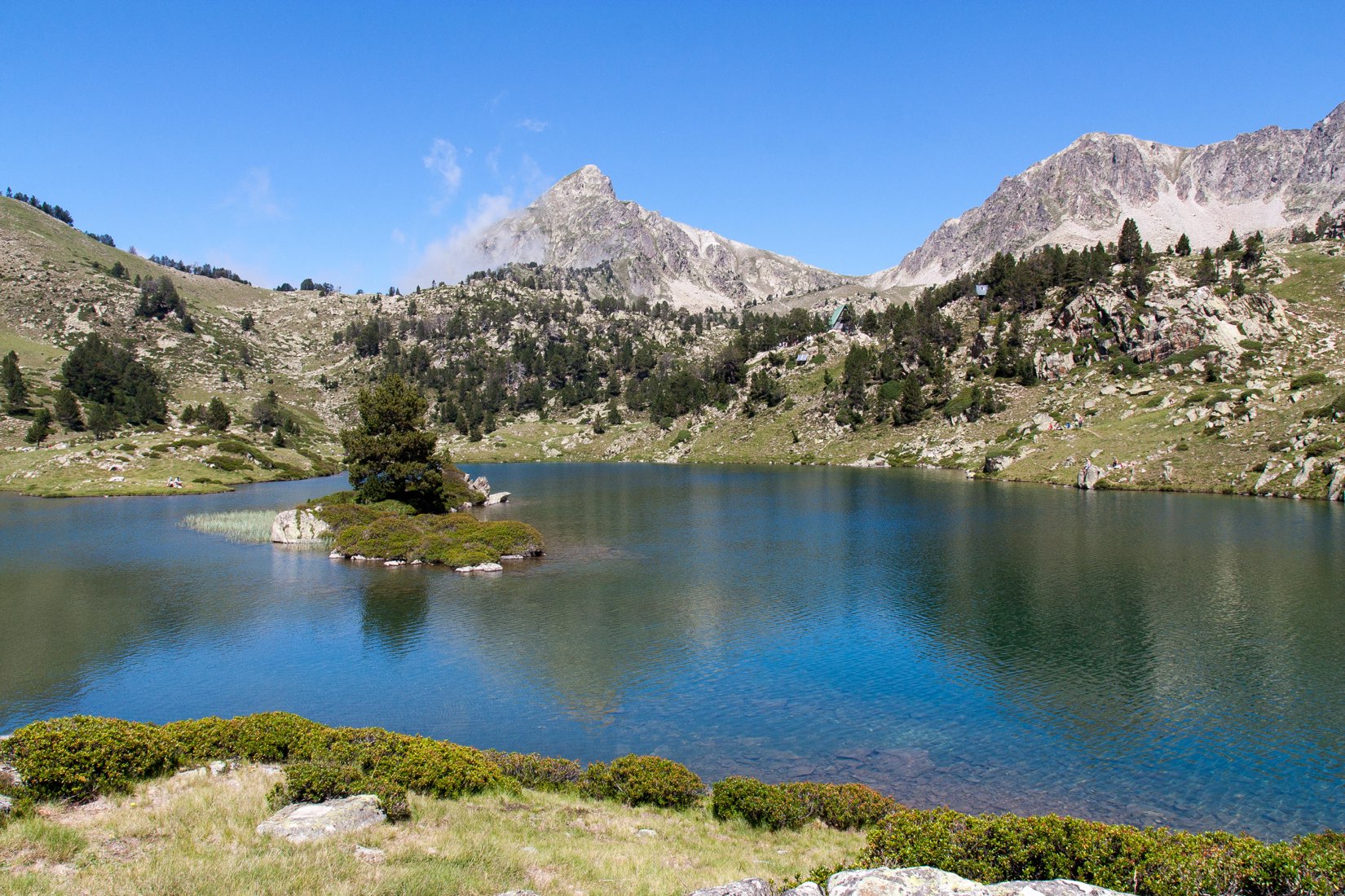
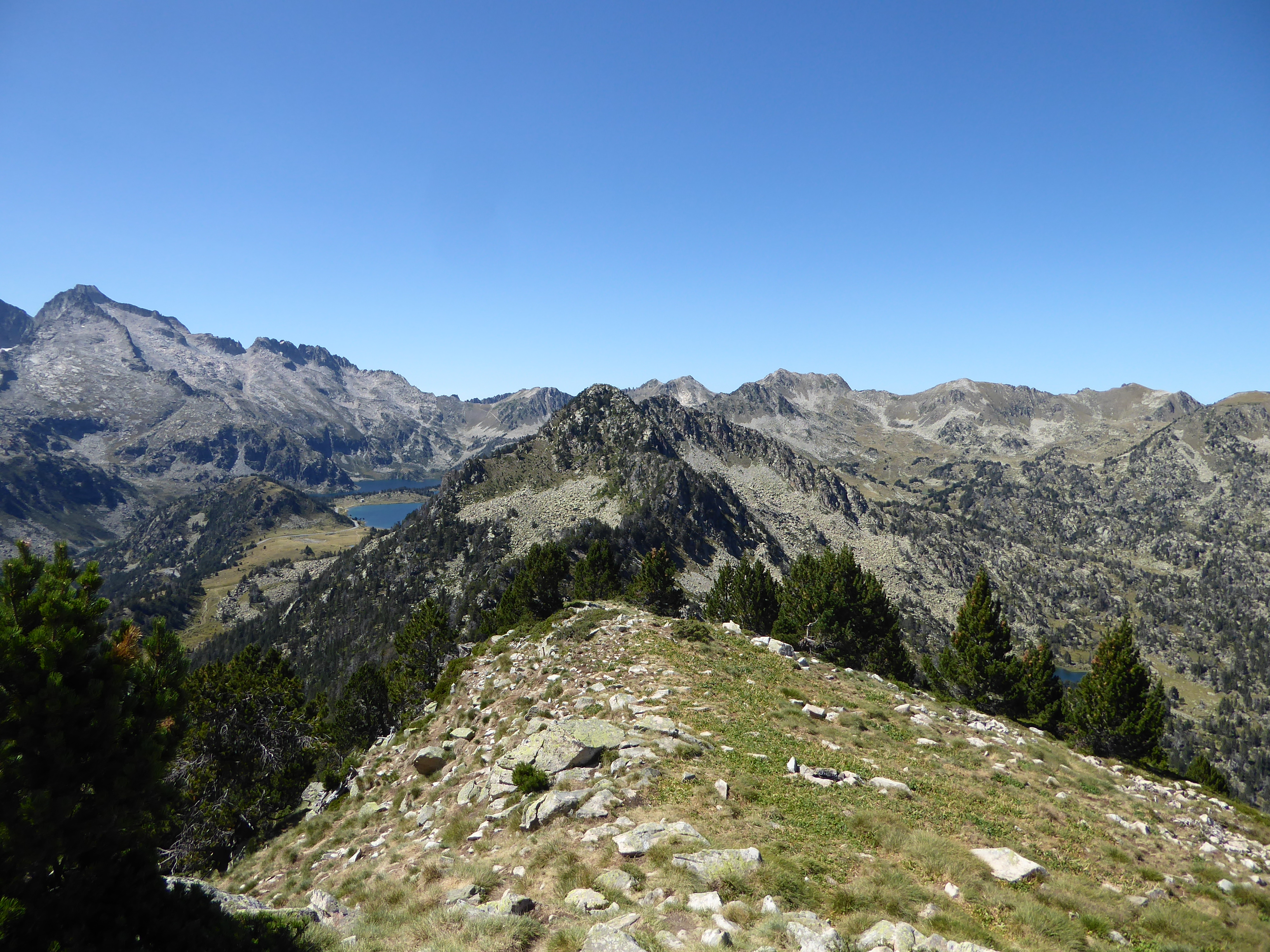
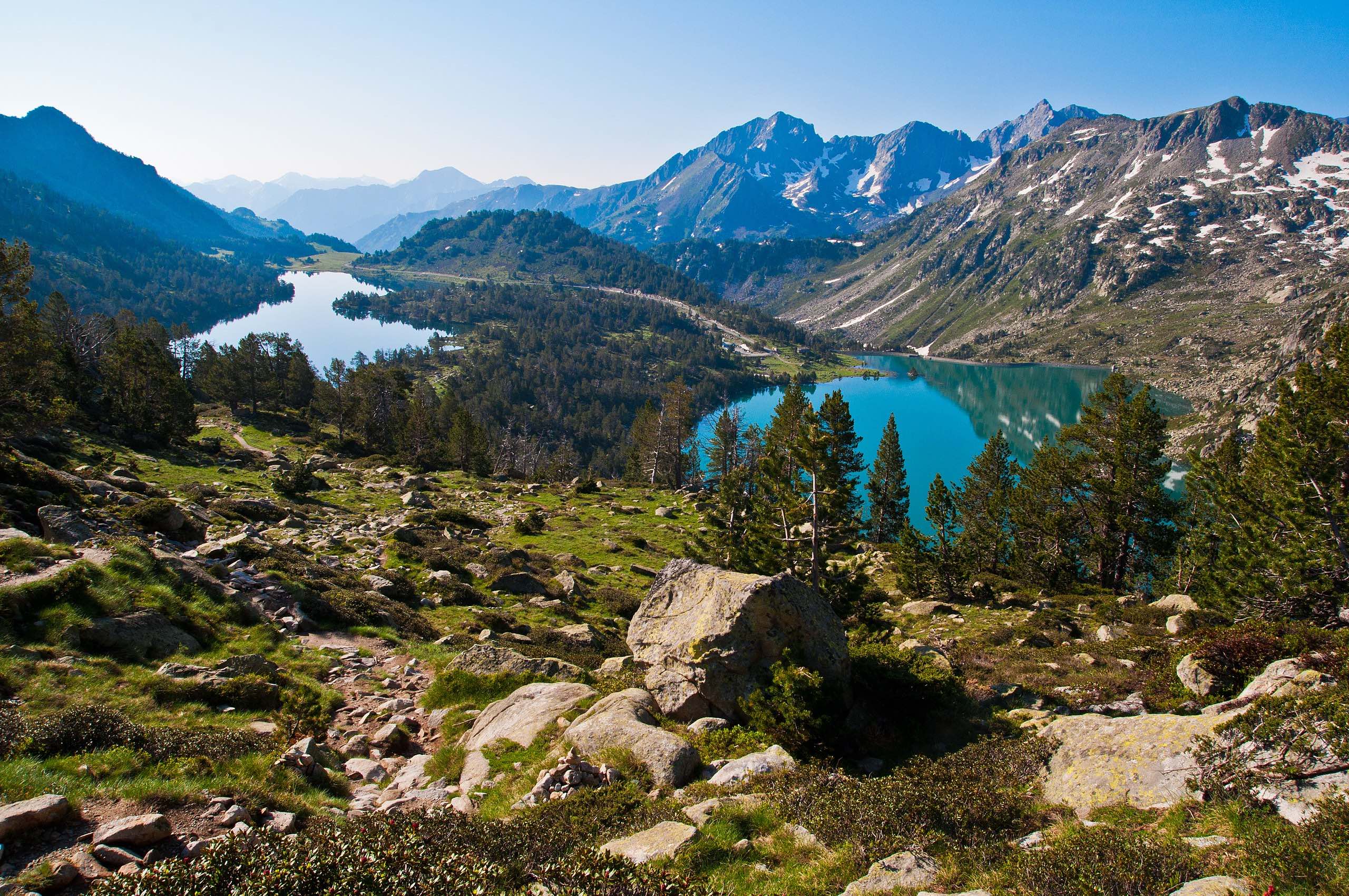
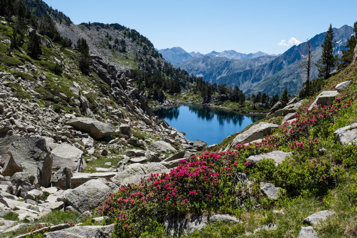
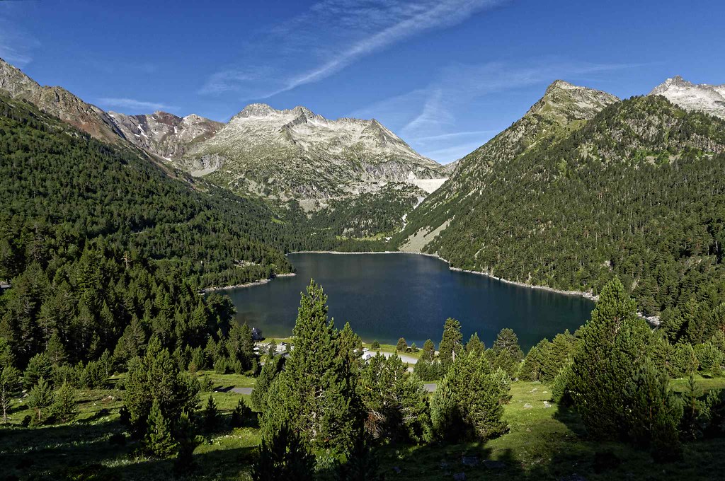
Succession of four lakes and superb landscapes, within the Néouvielle nature reserve.

Already more than 200,000 users!
Uphill
483m
Highest point
2223m
Downhill
483m
Lowest point
1853m
Route type
Loop
Download the map on your smartphone to save battery and rest assured to always keep access to the route, even without signal.
Includes IGN France and Swisstopo.
I indicate whether dogs are allowed or prohibited on this trail
From May to September
1 rating
Also enjoy:

Already more than 200,000 users!