Uphill
2630m
France > Occitanie > Hautes-Pyrénées
Length
30km
Duration
17h30min
Elev gain
2630m
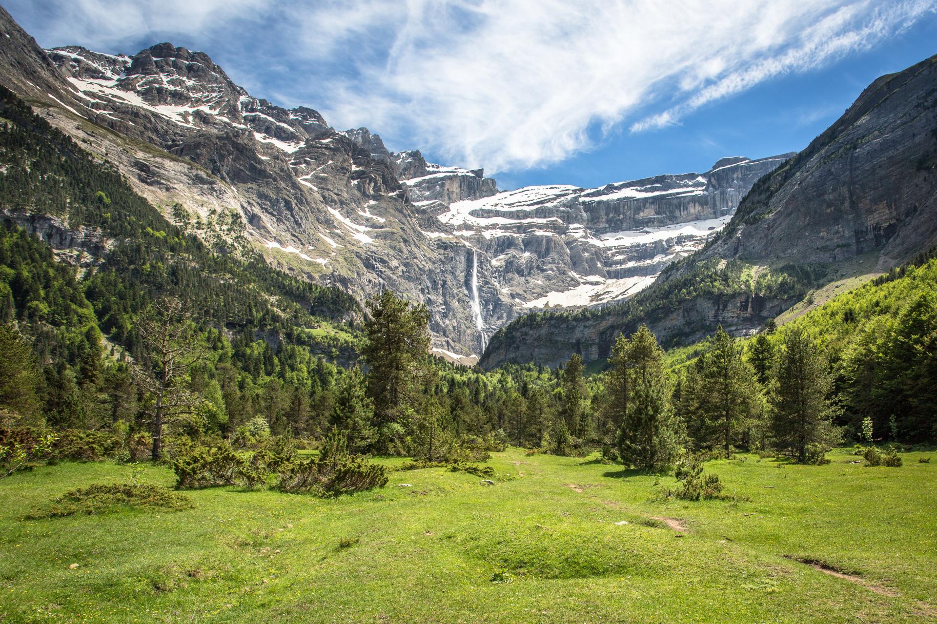
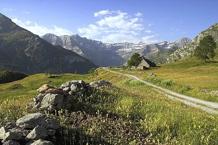
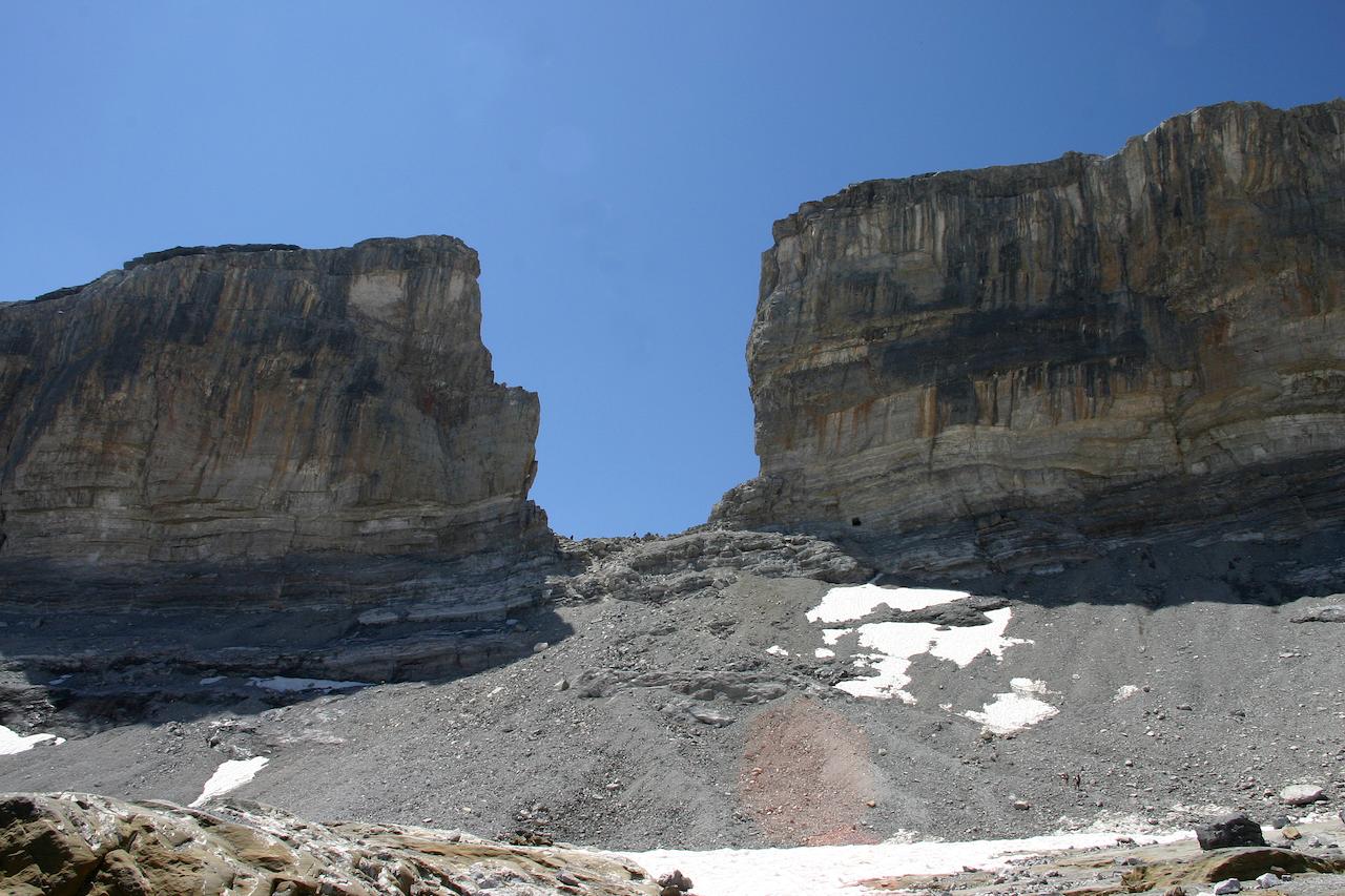
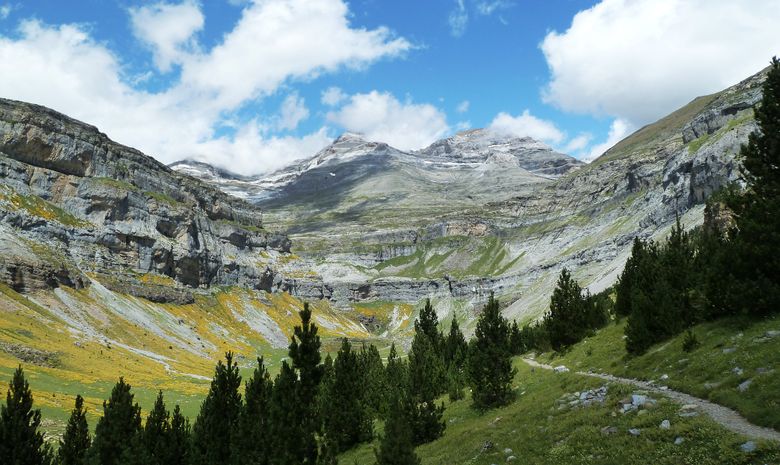
This large loop contains many remarkable points: cirque de Gavarnie, Saradets ladders, brèche de Roland, and Mont Perdu. Several shelters along the way.

Already more than 200,000 users!
Uphill
2630m
Highest point
3326m
Downhill
2630m
Lowest point
1363m
Route type
Loop
Download the map on your smartphone to save battery and rest assured to always keep access to the route, even without signal.
Includes IGN France and Swisstopo.
1 rating
Quelqu’un a-t-il déjà suivi ce tracé ? L’ascension depuis le cirque de Gavarnie jusqu’au refuge des Sarradets est donc possible ? (plutôt que de passer par le col de Tente pour rejoindre le refuge)
Merci pour vos retours !
Also enjoy:

Already more than 200,000 users!