Uphill
221m
Length
9km
Duration
3h
Elev gain
221m
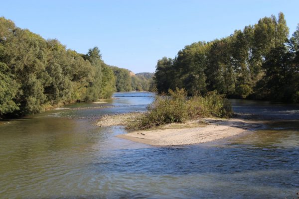
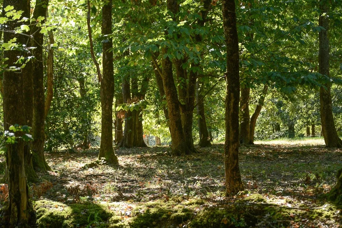
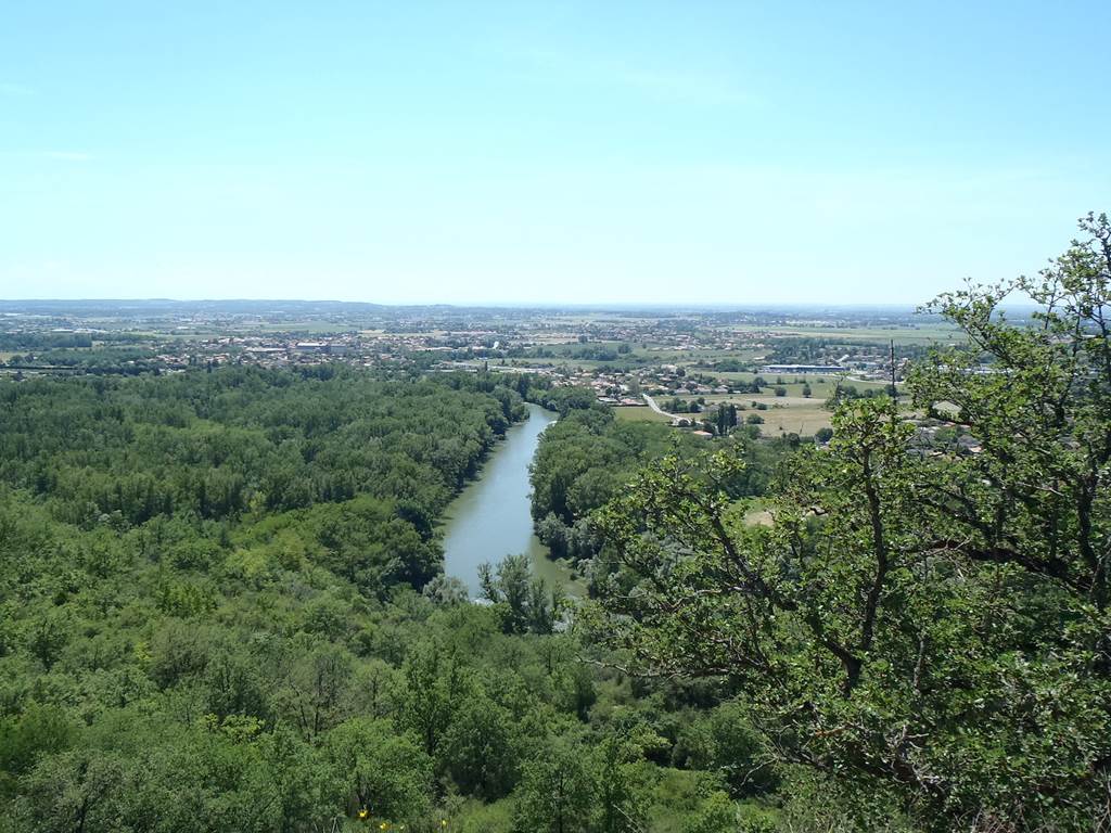
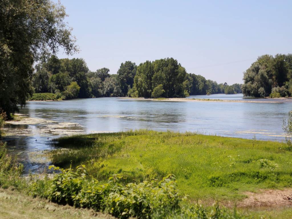
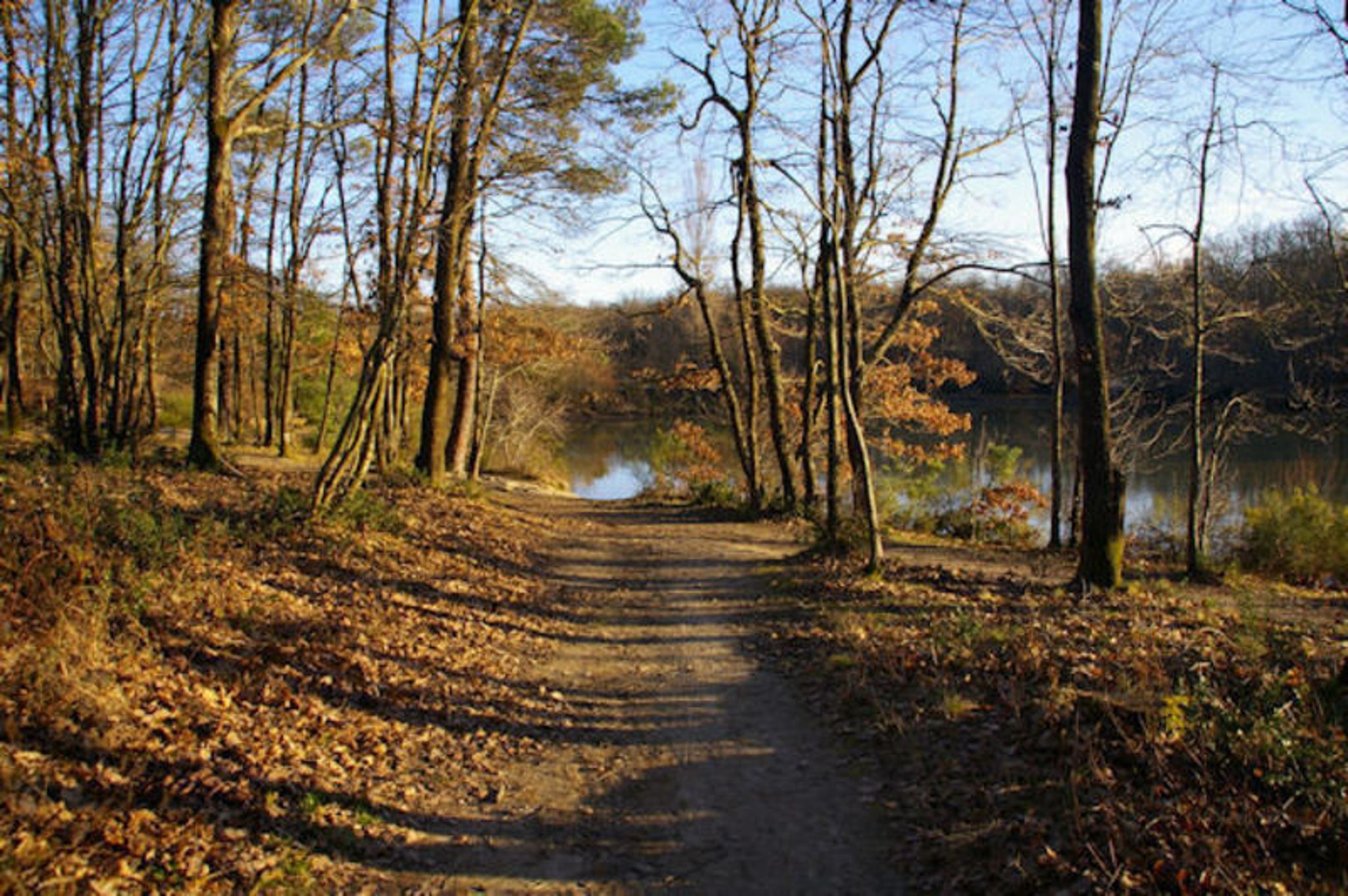
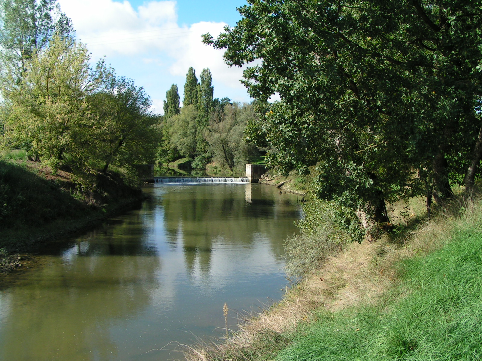
Departing from Carbonne, this trail runs along the Garonne in the undergrowth, before rising to offer lovely views of the Pyrenees. Finally, the walk ends at the confluence of the Arize and the Garonne.
Note that the end of the tour takes several roads.

Already more than 200,000 users!
Uphill
221m
Highest point
312m
Downhill
221m
Lowest point
179m
Route type
Loop
Download the map on your smartphone to save battery and rest assured to always keep access to the route, even without signal.
Includes IGN France and Swisstopo.
I indicate whether dogs are allowed or prohibited on this trail
All year
2 ratings
Also enjoy:

Already more than 200,000 users!