Uphill
338m
Length
7km
Duration
2h30min
Elev gain
338m
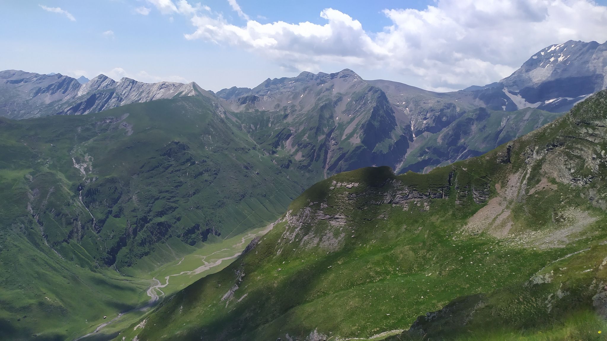
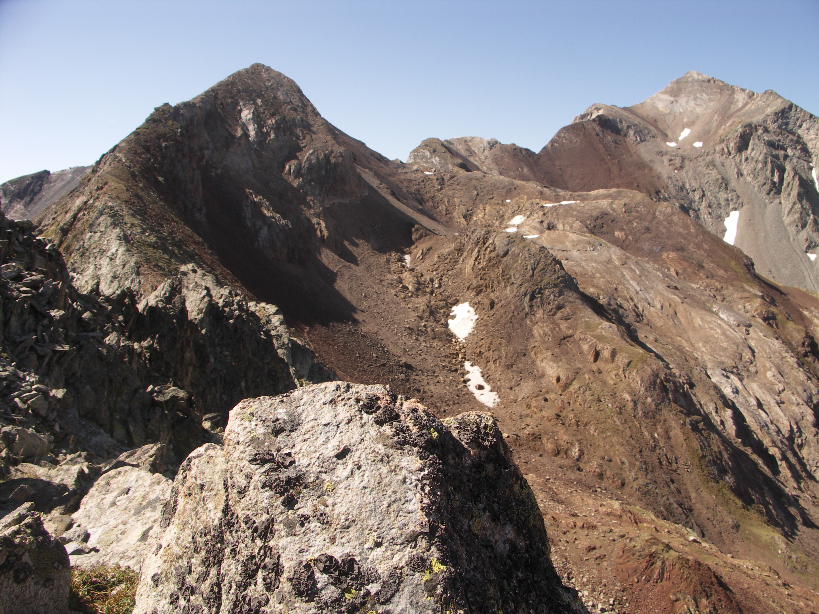
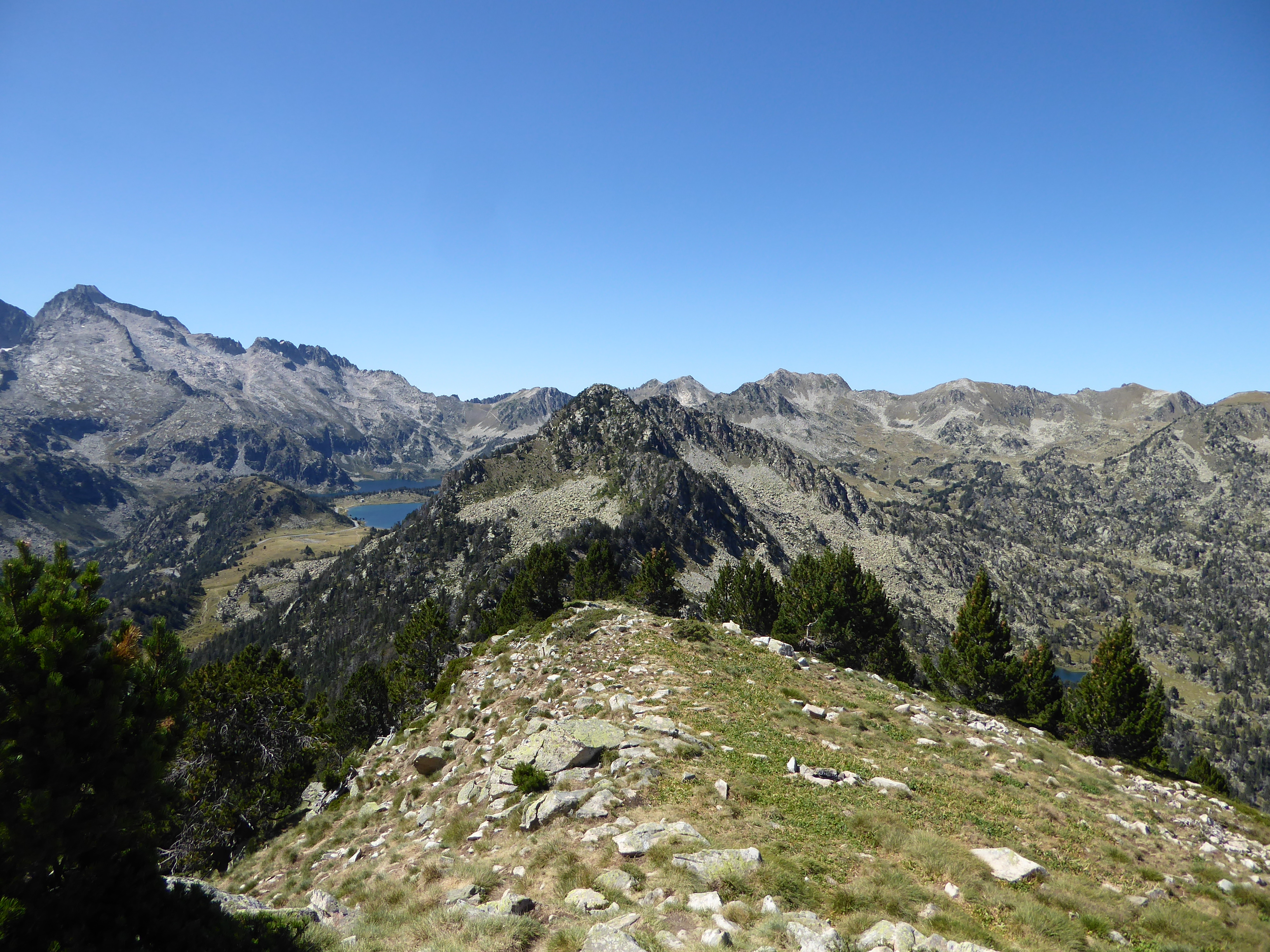
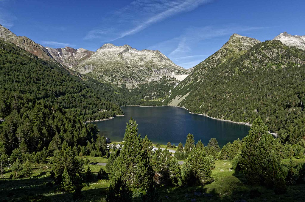
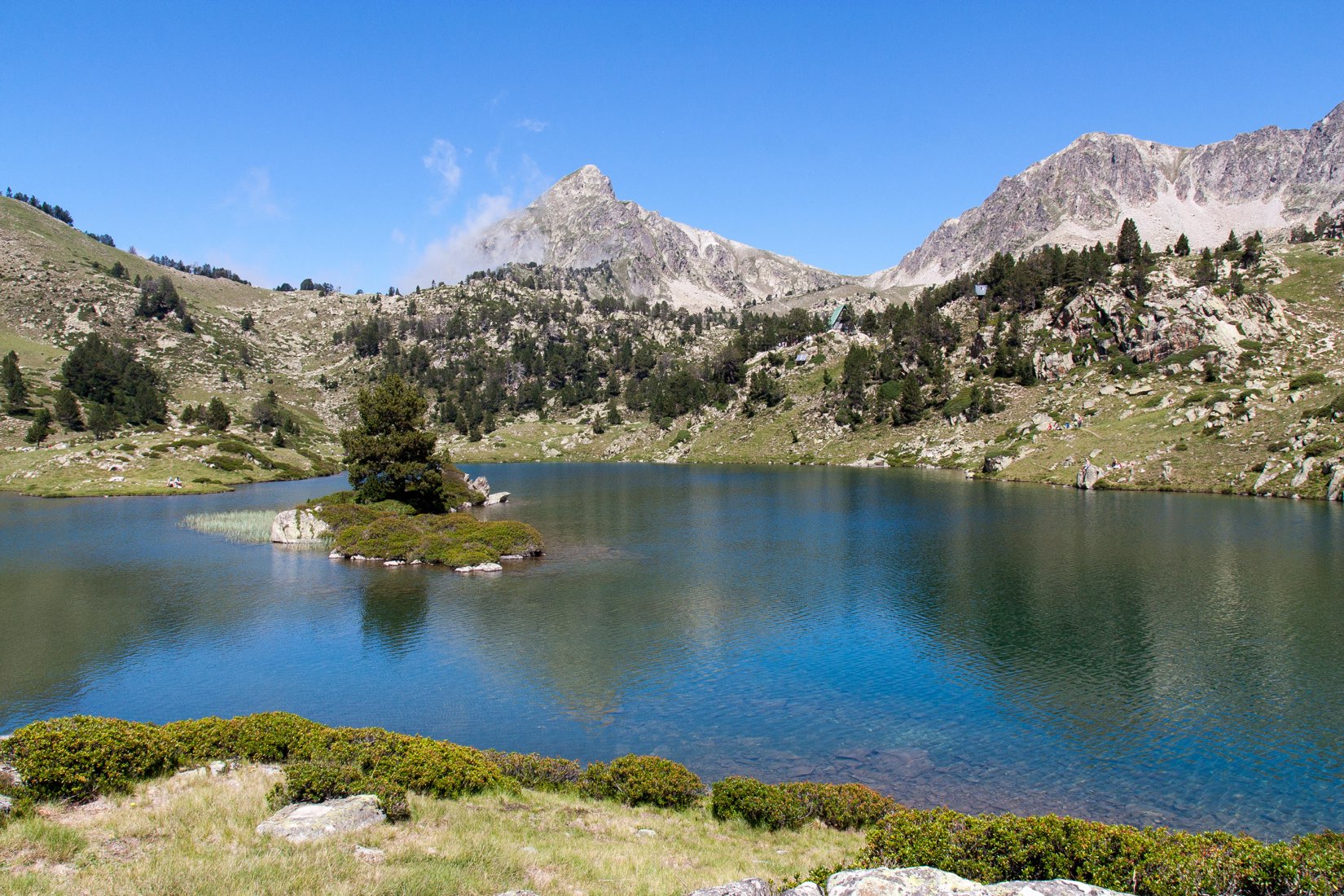
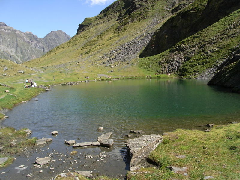
Departing from Piau-Engaly, this trail enters a wild valley up to the small Badet lake.
Marmots and chamois are frequently spotted.

Already more than 200,000 users!
Uphill
338m
Highest point
2145m
Downhill
338m
Lowest point
1815m
Route type
There and back
Download the map on your smartphone to save battery and rest assured to always keep access to the route, even without signal.
Includes IGN France and Swisstopo.
I indicate whether dogs are allowed or prohibited on this trail
From May to September
0 ratings
Also enjoy:

Already more than 200,000 users!