Uphill
894m
Length
10km
Duration
6h
Elev gain
894m
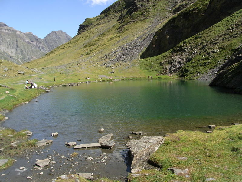
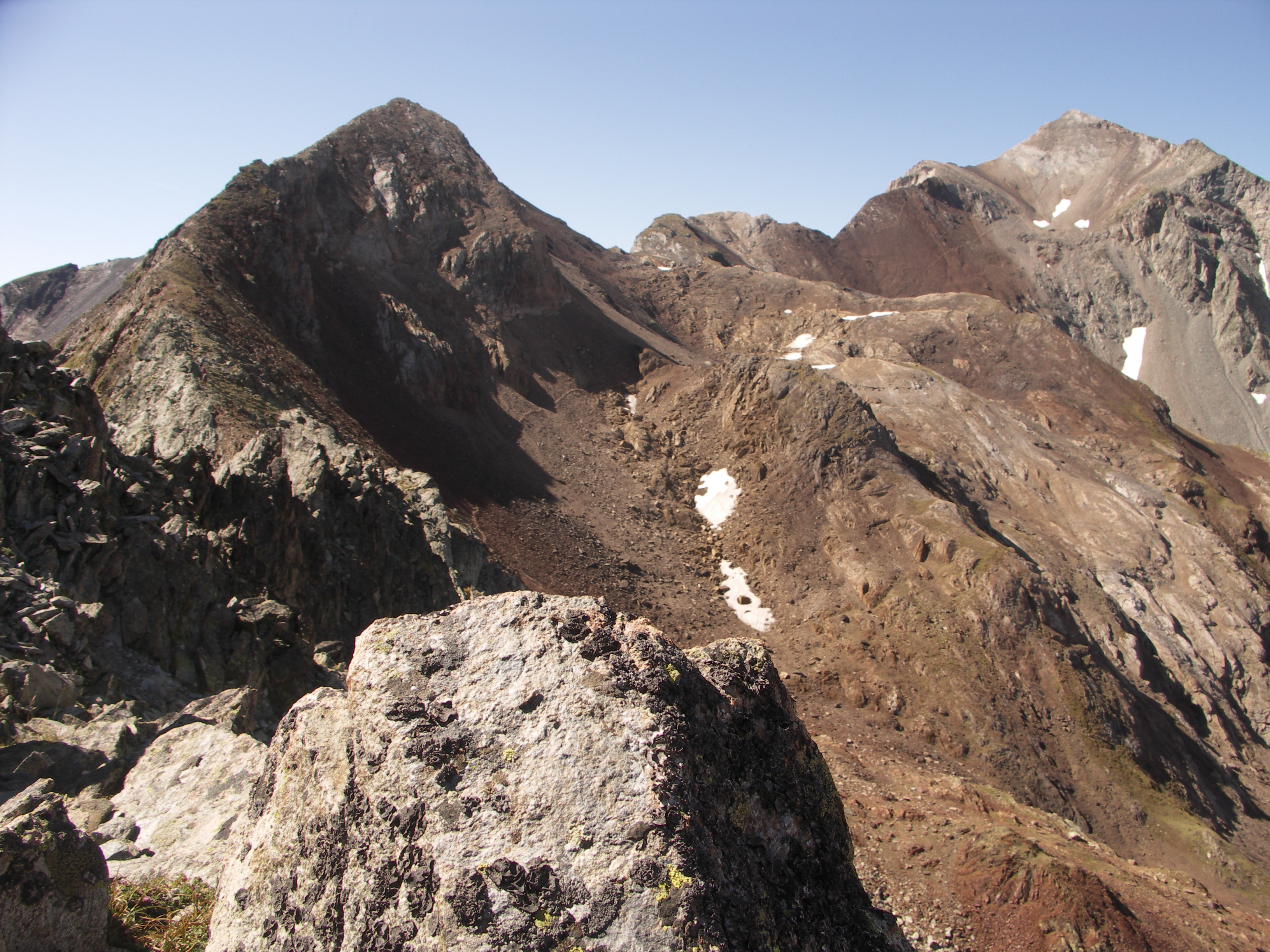
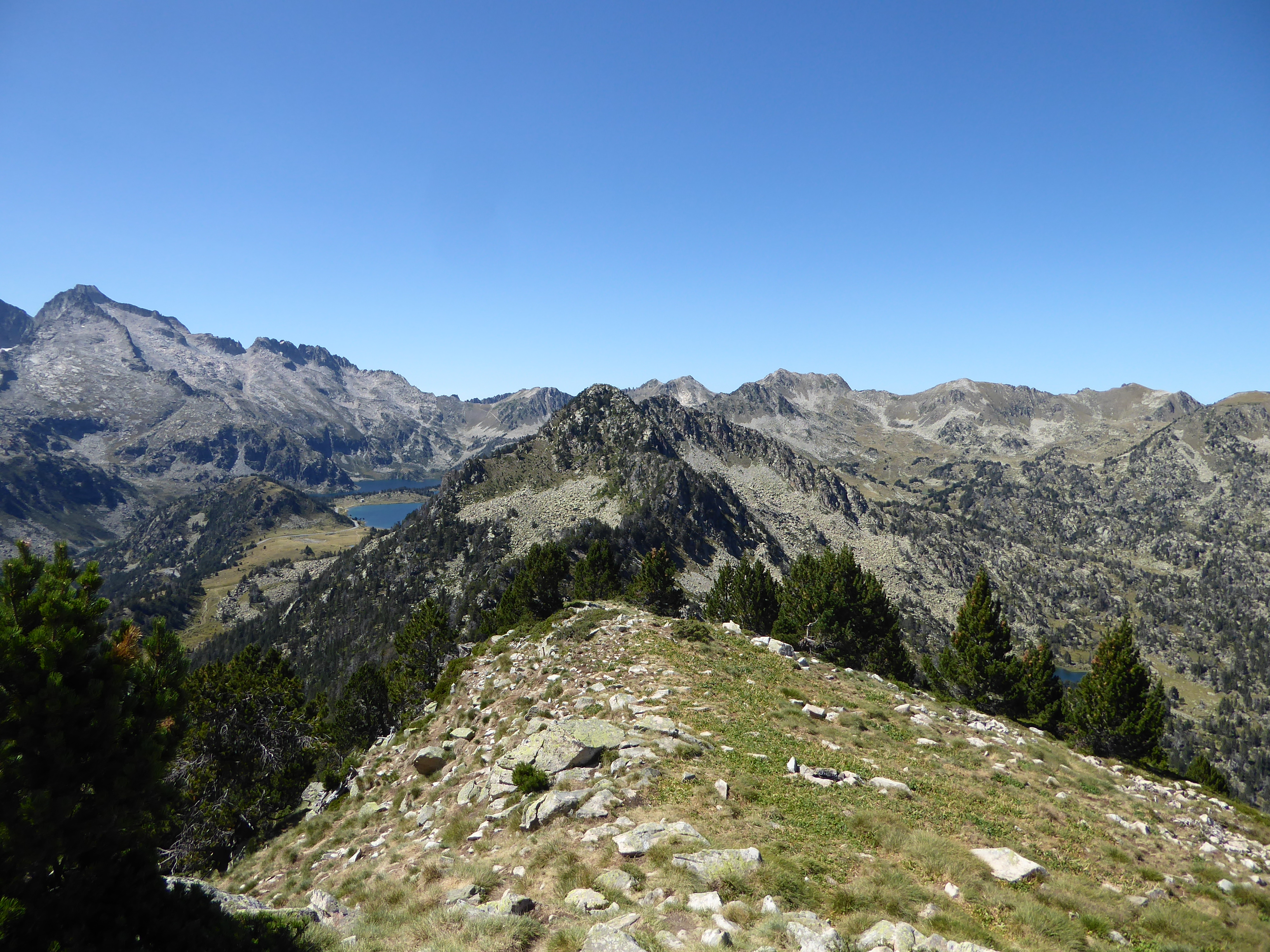
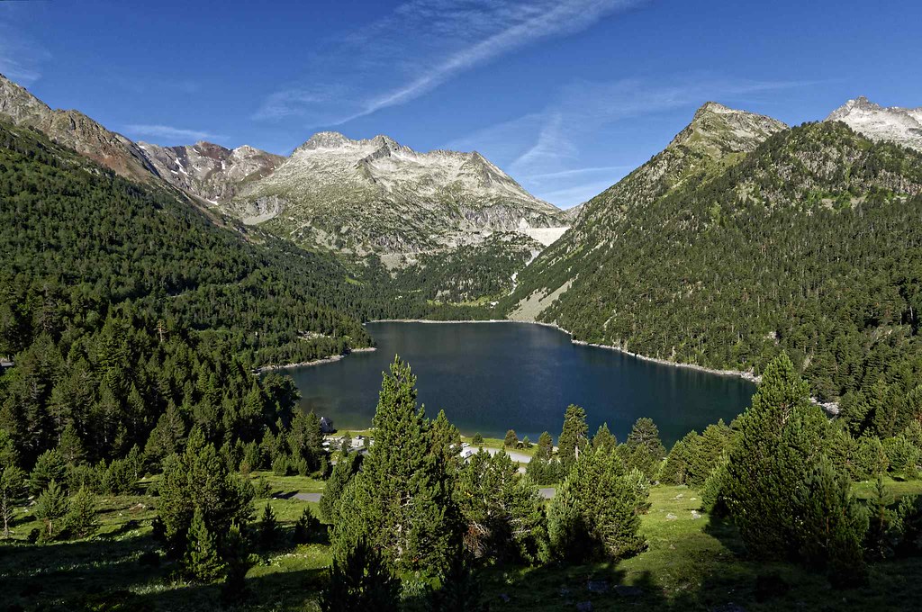
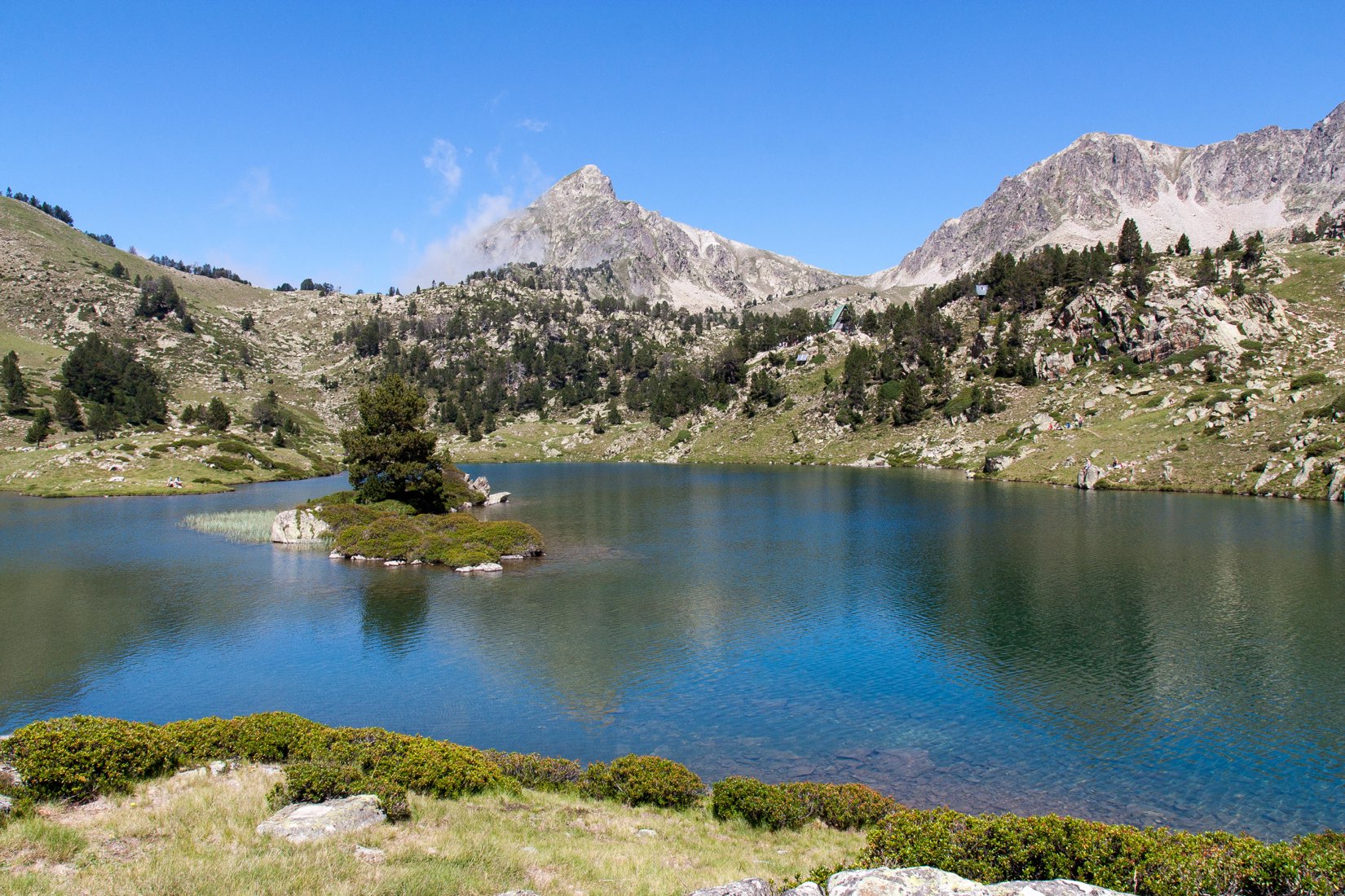
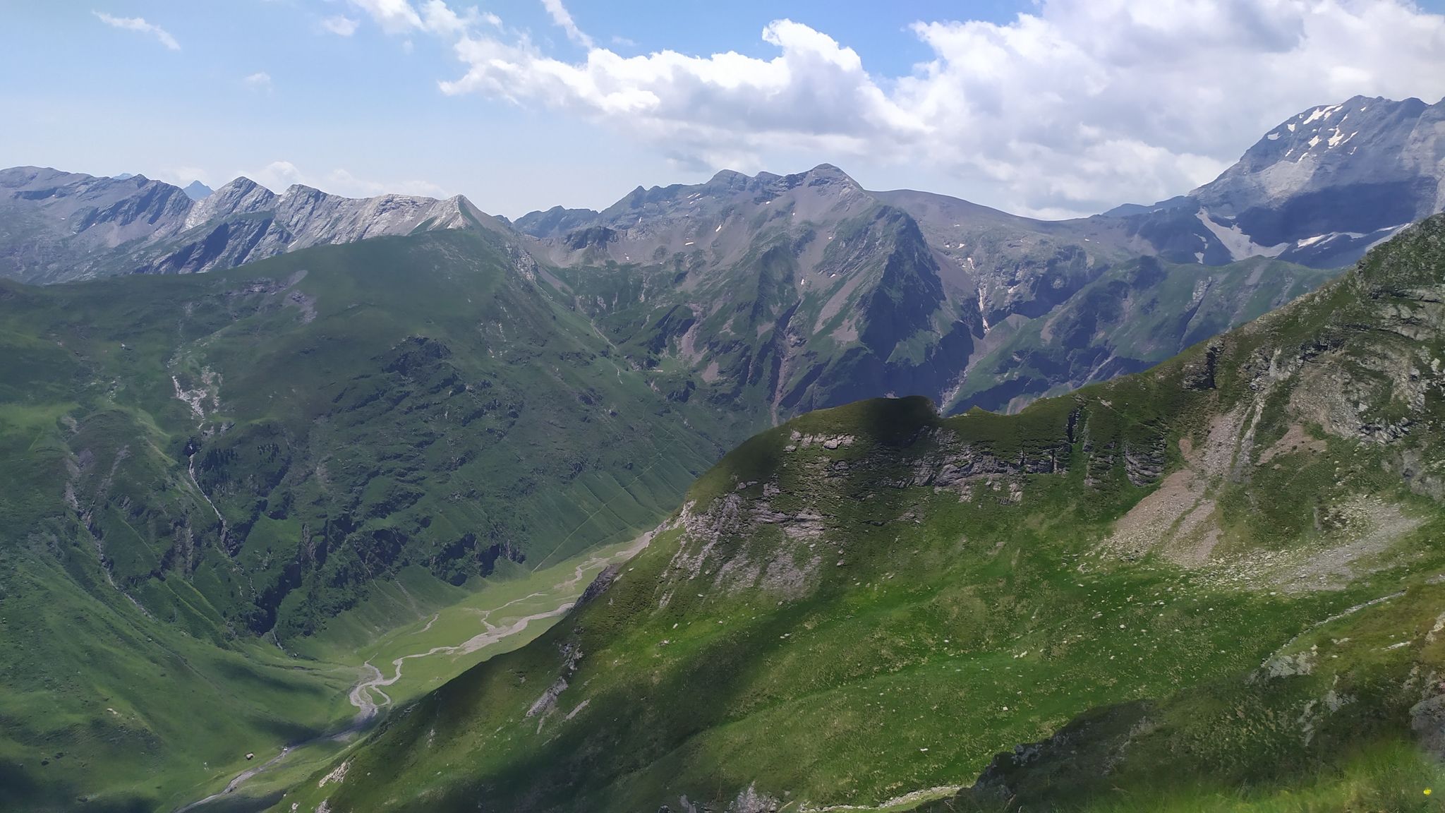
Sporty hike from Piau-Engaly. The trail winds through the ski area before reaching the highest point of the hike: the Pic du Piau (2,686m). The route is physical and offers very nice views of the surrounding valleys.

Already more than 200,000 users!
Uphill
894m
Highest point
2656m
Downhill
894m
Lowest point
1748m
Route type
Loop
Download the map on your smartphone to save battery and rest assured to always keep access to the route, even without signal.
Includes IGN France and Swisstopo.
I indicate whether dogs are allowed or prohibited on this trail
From June to September
0 ratings
Also enjoy:

Already more than 200,000 users!