Uphill
68m
Length
9km
Duration
2h30min
Elev gain
68m
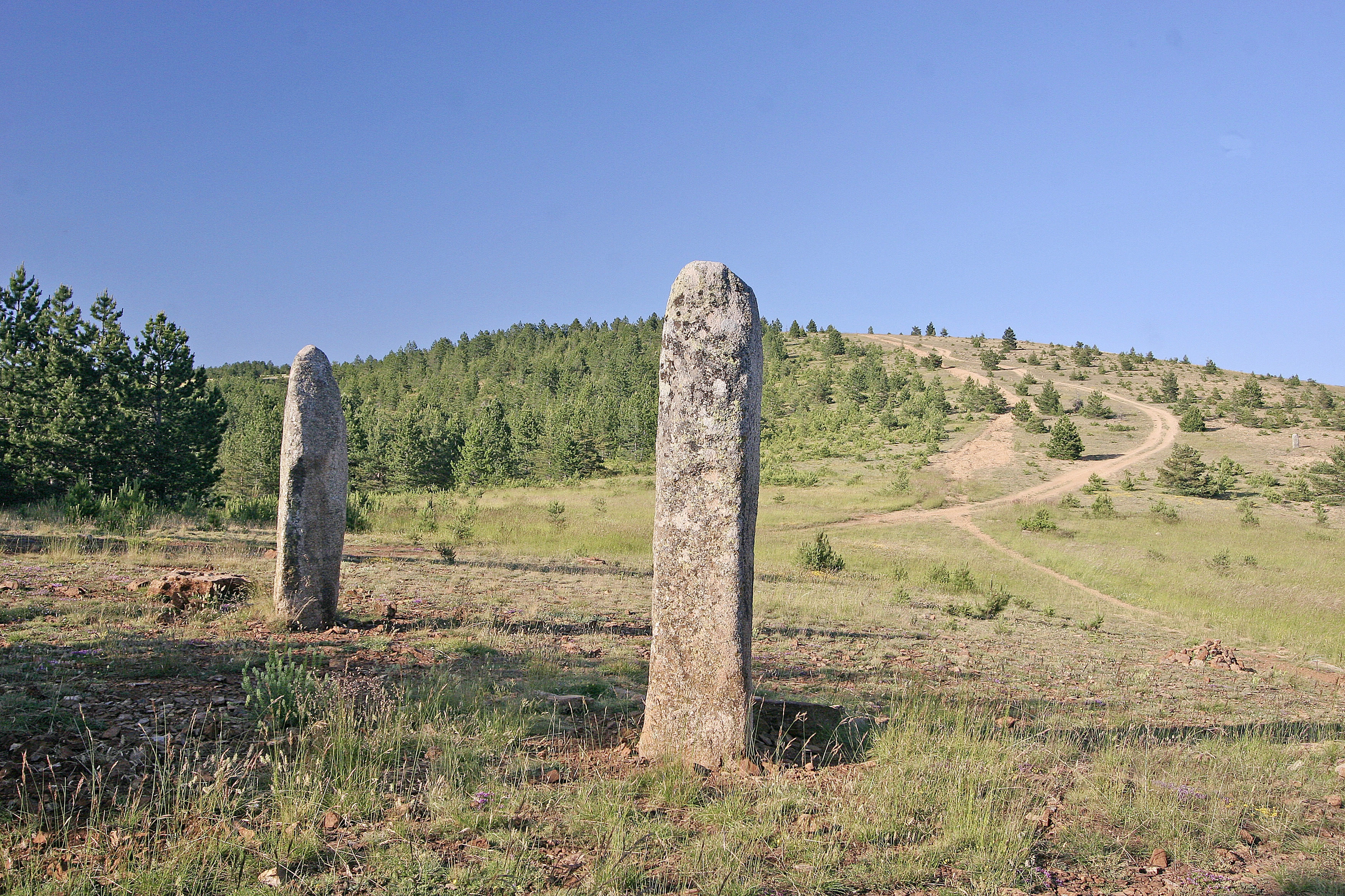
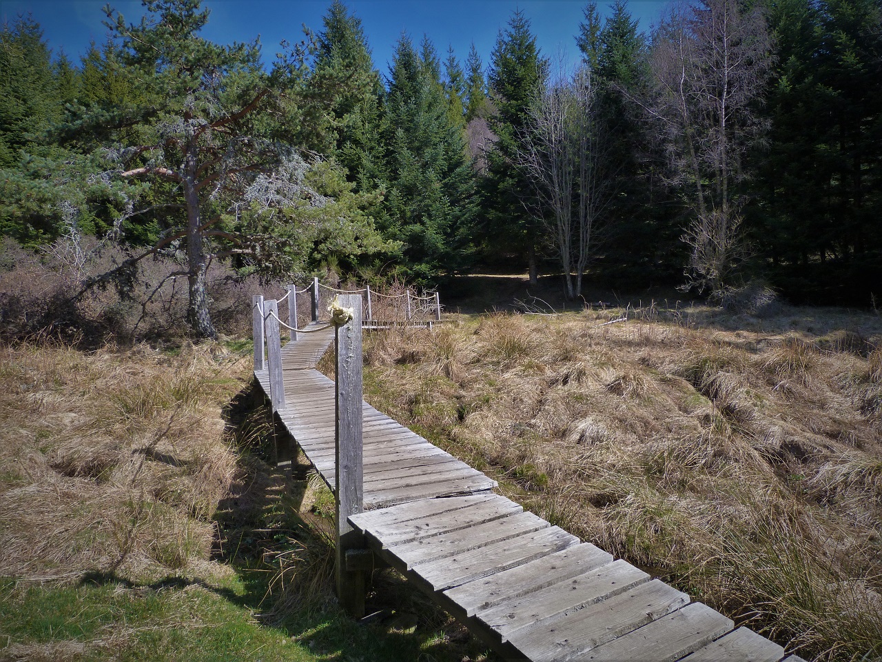
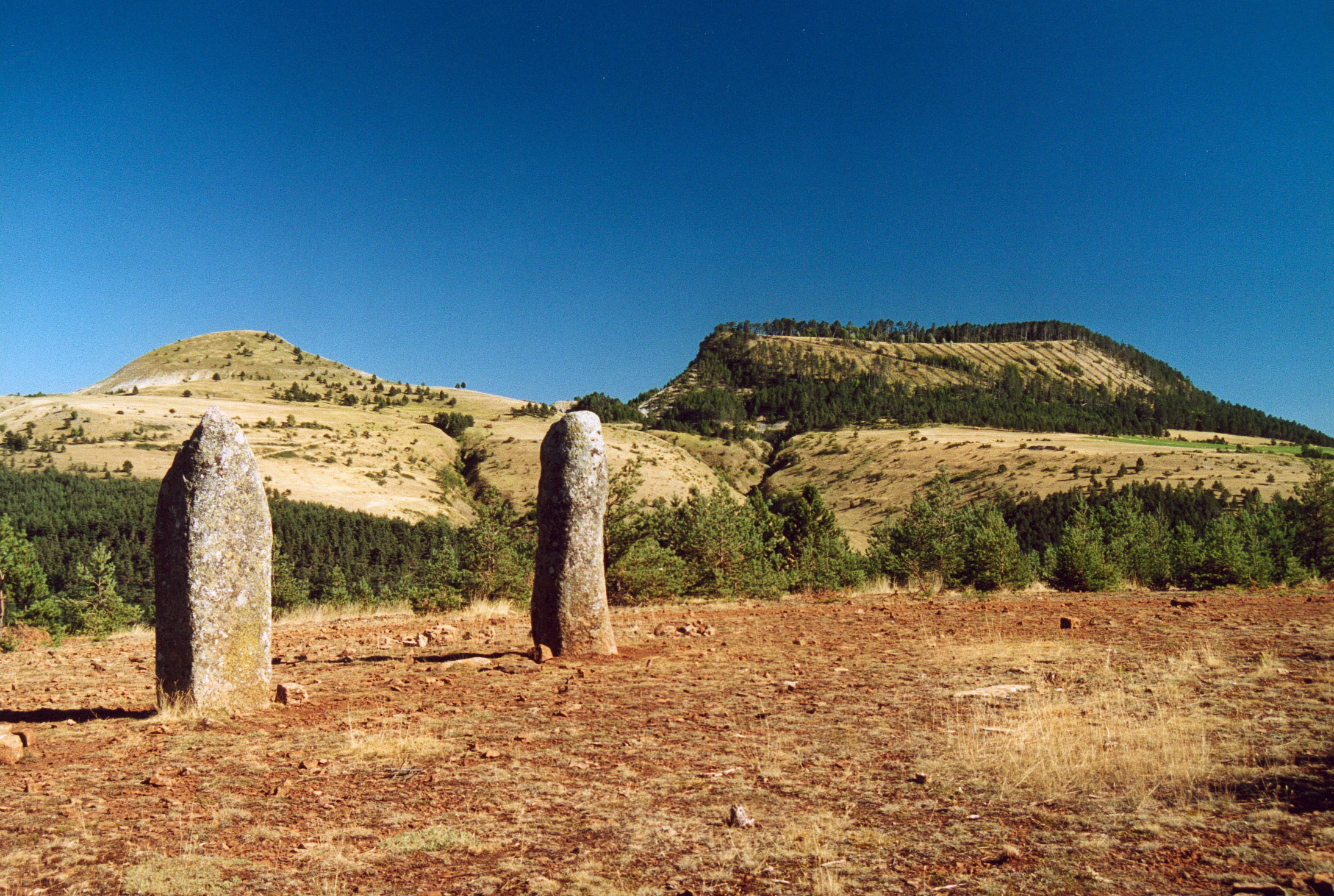
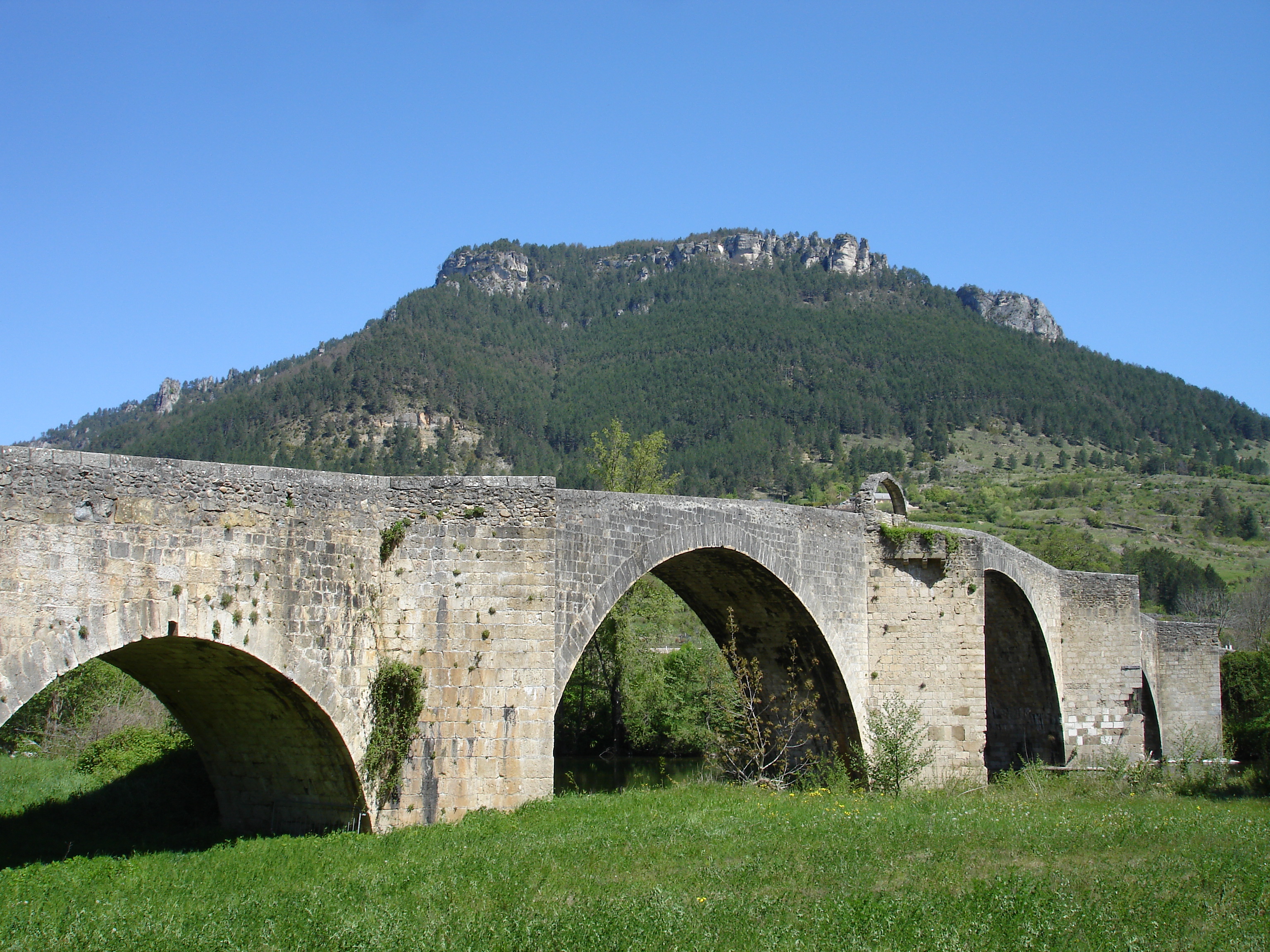
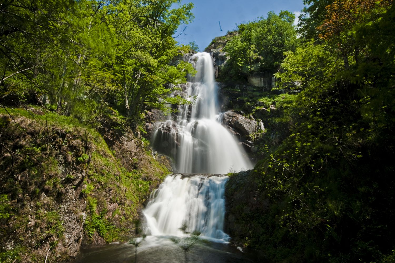
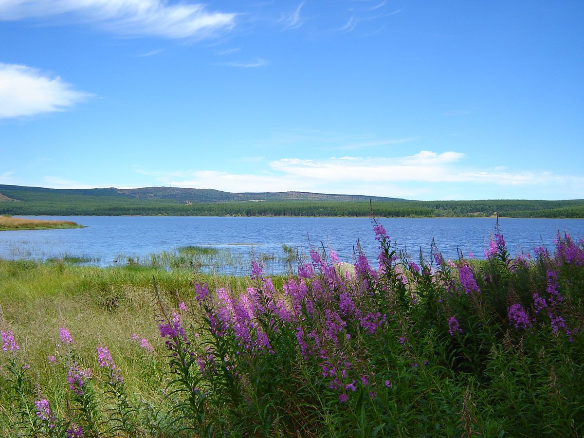
Walk around the lake of Charpal, an artificial water reservoir created between the two wars. Superb natural landscapes which are reminiscent of Canada.

Already more than 200,000 users!
Uphill
68m
Highest point
1342m
Downhill
68m
Lowest point
1306m
Route type
Loop
Download the map on your smartphone to save battery and rest assured to always keep access to the route, even without signal.
Includes IGN France and Swisstopo.
Authorised
Can be difficult in Winter
1 rating
Une très jolie balade
Also enjoy:

Already more than 200,000 users!